Torbeck Hill

Hill, Mountain in Dumfriesshire

Scotland

Torbeck Hill

Eagles guard the approach road to Minsca Farm
Eagles guard the approach road to Minsca Farm Credit: Walter Baxter

Torbeck Hill, located in Dumfriesshire, Scotland, is a prominent hill that offers scenic beauty and outdoor recreational opportunities. Standing at an elevation of approximately 443 meters (1,453 feet), it is a notable landmark in the area.

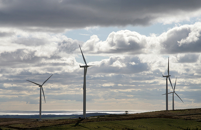
The hill boasts a diverse landscape, ranging from gentle slopes to rocky outcrops. Its summit provides breathtaking panoramic views of the surrounding countryside, with the rolling hills and green pastures of Dumfriesshire stretching out in every direction. On clear days, it is possible to see as far as the Solway Firth and even the Cumbrian Mountains in England.

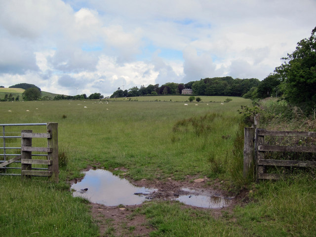
Torbeck Hill is a popular destination for hikers and nature enthusiasts. Several walking trails traverse the hill, offering varying levels of difficulty to suit different fitness levels. The paths pass through woodlands, open moorland, and heather-clad slopes, providing an opportunity to experience the diverse flora and fauna of the region up close.

The hill also holds historical significance, with remnants of ancient settlements and structures dotting its slopes. These archaeological sites provide an insight into the rich history of the area, dating back centuries.

Access to Torbeck Hill is relatively straightforward, with designated parking areas and well-maintained footpaths. Visitors are advised to come prepared with appropriate clothing and footwear, as weather conditions can change rapidly in this part of Scotland.

With its natural beauty, recreational opportunities, and historical significance, Torbeck Hill is a must-visit destination for those exploring Dumfriesshire and the surrounding area.

If you have any feedback on the listing, please let us know in the comments section below.
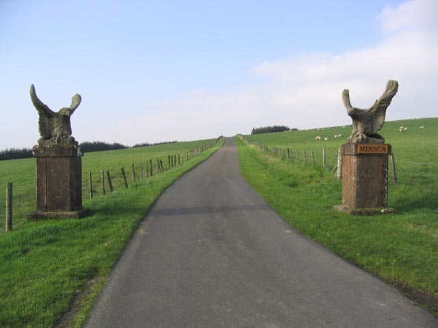
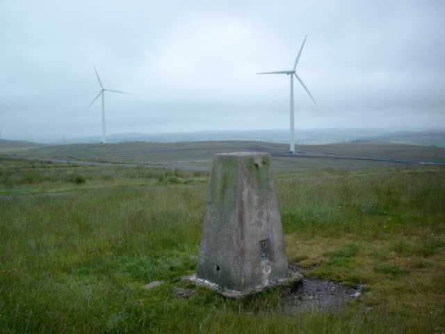
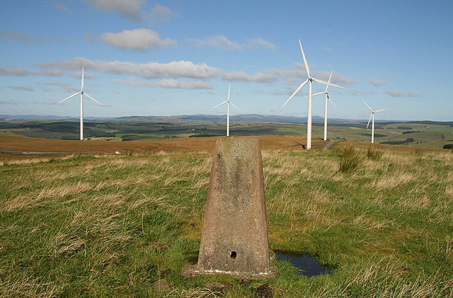
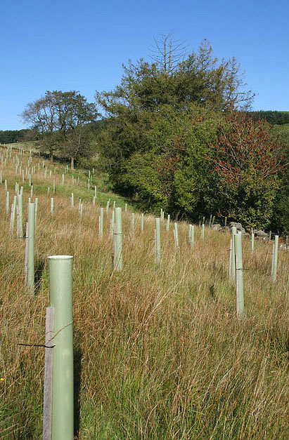
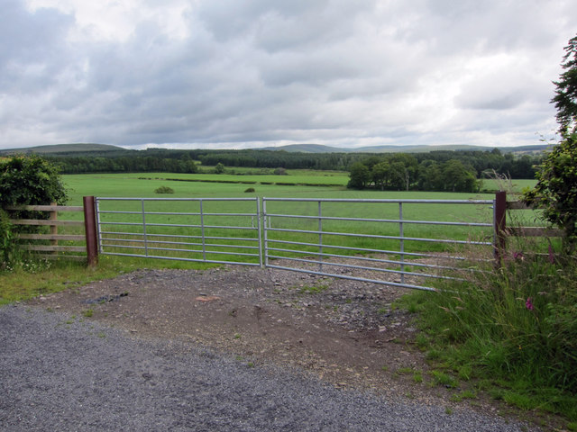
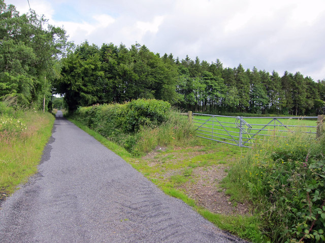
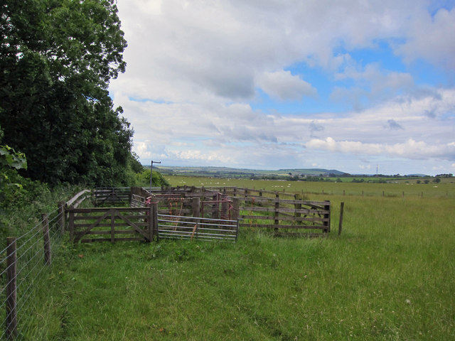
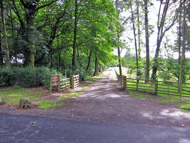
Torbeck Hill Images

Images are sourced within 2km of 55.101122/-3.2002617 or Grid Reference NY2379. Thanks to Geograph Open Source API. All images are credited.

Eagles guard the approach road to Minsca Farm
Risp Hill Trig Pillar S9847 Surrounded by recently built windfarm. Flush bracket S9847 faces 79° easterly. Excellent long views all round.
Risp Hill Trig Pillar S9847
Surrounded by recently built windfarm. Flush bracket S9847 faces 79° easterly. Excellent long views all round.
The trig point on Risp Hill At 276m with a flush bracket number S9847. The turbines are part of the Minsca Wind Farm.
The trig point on Risp Hill
At 276m with a flush bracket number S9847. The turbines are part of the Minsca Wind Farm.
Tree planting on Risp Hill Some deciduous planting on the west side of the Mein Water.
Tree planting on Risp Hill
Some deciduous planting on the west side of the Mein Water.
Farmland on Birrens Hill Typical upland farmland grazed by hill cattle.
Farmland on Birrens Hill
Typical upland farmland grazed by hill cattle.
Minsca Wind Farm 4 of the turbines on this 17 turbine wind farm on Risp Hill, viewed from Turf Knowe with the Solway Firth in the background.
Minsca Wind Farm
4 of the turbines on this 17 turbine wind farm on Risp Hill, viewed from Turf Knowe with the Solway Firth in the background.
Minsca gate entrance with Wind Farm in background
Housing in Waterbeck Looking east along the B722.
Housing in Waterbeck
Looking east along the B722.
Grazing land towards Torbeck Hill Pastureland grazed by sheep. The large house among the trees is named Torbeck Hill, and not Torbeckhill, as suggested on the OS maps.
Grazing land towards Torbeck Hill
Pastureland grazed by sheep. The large house among the trees is named Torbeck Hill, and not Torbeckhill, as suggested on the OS maps.
Field entrance A wide double gateway provides access to this field, which is currently not planted with a crop.
Field entrance
A wide double gateway provides access to this field, which is currently not planted with a crop.
Road to Torbeckhill The road serves two or three dwellings in Torbeckhill and ends at a farm in grid square <a href="https://www.geograph.org.uk/gridref/NY2281">NY2281</a>.
Road to Torbeckhill
The road serves two or three dwellings in Torbeckhill and ends at a farm in grid square NY2281.
Sheep fank Currently, most of the farmland hereabouts is growing grass and being grazed by sheep.
Sheep fank
Currently, most of the farmland hereabouts is growing grass and being grazed by sheep.
Entrance to Torbeckhill Bungalow The private driveway leads to a bungalow which offers bed and breakfast accommodation.
Entrance to Torbeckhill Bungalow
The private driveway leads to a bungalow which offers bed and breakfast accommodation.
Terrace view View to the south east from the guest lounge at Torbeckhill Bungalow bed and breakfast.
Terrace view
View to the south east from the guest lounge at Torbeckhill Bungalow bed and breakfast.
Waterbeck A pleasant small village with many fine buildings.
Waterbeck
A pleasant small village with many fine buildings.
B725 West of Waterbeck
Sheep field near Crossbankhead Farm
The unsurfaced road leading to Gilmartin Farm
Show me another place!

Torbeck Hill is located at Grid Ref: NY2379 (Lat: 55.101122, Lng: -3.2002617)

Unitary Authority: Dumfries and Galloway

Police Authority: Dumfries and Galloway

What 3 Words

///hiring.navy.tragedy. Near Lockerbie, Dumfries & Galloway

Related Wikis

Scotsbrig

Scotsbrig is a farm near Ecclefechan, Dumfries and Galloway, Scotland, and a Category B listed building. Thomas Carlyle lived there with his family in...

Middlebie

Middlebie is a hamlet and parish in the historic county of Dumfriesshire in Dumfries and Galloway, south-west Scotland. It is approximately 2 miles (3...

Dogslacks

Dogslacks is a farmstead in the Parish of Middlebie, in the Stewartry of Kirkcudbright in Scotland. == References == Dogslacks at the National Archives...

Blatobulgium

Blatobulgium was a Roman fort, located at the modern-day site known as Birrens, in Dumfriesshire, Scotland. It protected the main western road to Scotland...

Nearby Amenities

Located within 500m of 55.101122,-3.2002617
Power: pole
Lat/Long: 55.1005452/-3.1994099
Power: pole
Lat/Long: 55.1010095/-3.1997396
Power: pole
Lat/Long: 55.1013823/-3.1999972
Power: pole
Lat/Long: 55.1018289/-3.2003218
Power: pole
Lat/Long: 55.099515/-3.1974625
Power: pole
Lat/Long: 55.0996064/-3.1955692
Power: pole
Lat/Long: 55.0996933/-3.1936681
The data included in this document is from www.openstreetmap.org. The data is made available under ODbL.

Have you been to Torbeck Hill?

Leave your review of Torbeck Hill below (or comments, questions and feedback).