Hamilton Hill

Hill, Mountain in Peeblesshire

Scotland

Hamilton Hill

Milestone, A703 The Peeblesshire mileposts on the Edinburgh road have been cleaned up and painted.  Distance (20 miles and 7 furlongs) to the GPO which was situated at the eastern end of Princes Street and was the meeting point of the A7 and A8 and the start of the Great North Road (A1) to London.
Milestone, A703 Credit: Richard Webb

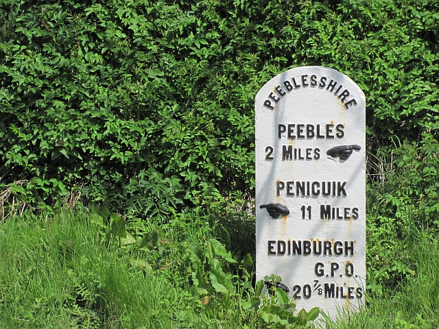
Hamilton Hill is a prominent hill located in Peeblesshire, a historic county in the Scottish Borders region of Scotland. Rising to a height of approximately 370 meters (1,214 feet), it is situated near the village of Eddleston, just south of the larger town of Peebles.

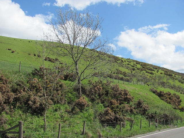
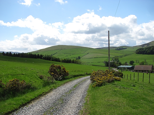
The hill is known for its distinctive conical shape and offers breathtaking panoramic views of the surrounding countryside. It is a popular destination for hikers and nature enthusiasts, attracting both locals and tourists alike. The relatively gentle slopes of Hamilton Hill make it accessible to walkers of varying abilities, providing a rewarding and enjoyable outdoor experience.

The hill is part of a larger network of trails and paths that crisscross the area, making it an excellent starting point for longer hikes or gentle strolls. The surrounding landscape is characterized by rolling hills, verdant farmland, and picturesque woodlands, creating a scenic backdrop for outdoor activities.

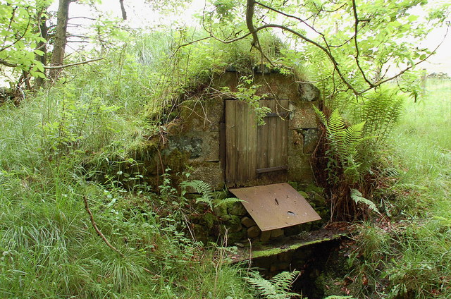
Hamilton Hill is also of historical significance, with traces of ancient settlements and fortifications found on its slopes. Archaeological remains, including Iron Age hillforts and Roman artifacts, have been discovered in the vicinity, providing insight into the area's rich past.

Whether it's the allure of its natural beauty, the opportunity for outdoor adventure, or the chance to delve into its historical roots, Hamilton Hill offers a rewarding experience for all who visit.

If you have any feedback on the listing, please let us know in the comments section below.

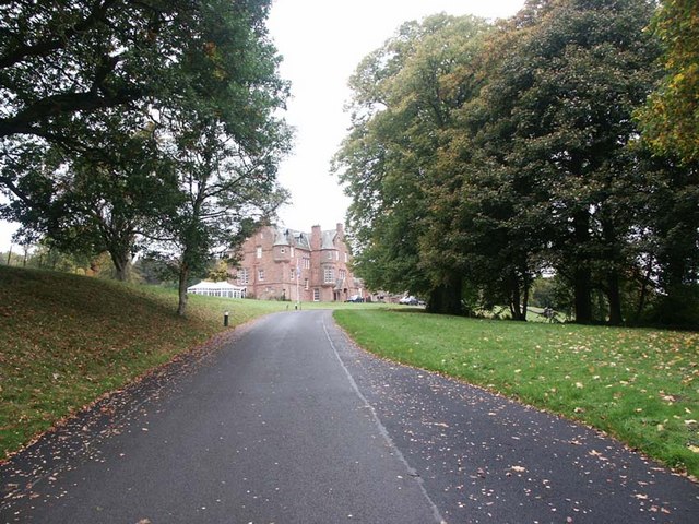
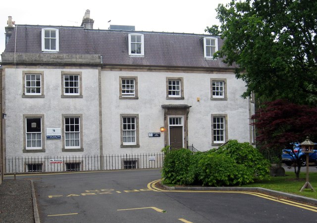
Hamilton Hill Images

Images are sourced within 2km of 55.668483/-3.2181461 or Grid Reference NT2342. Thanks to Geograph Open Source API. All images are credited.

Milestone, A703 The Peeblesshire mileposts on the Edinburgh road have been cleaned up and painted.  Distance (20 miles and 7 furlongs) to the GPO which was situated at the eastern end of Princes Street and was the meeting point of the A7 and A8 and the start of the Great North Road (A1) to London.
Milestone, A703
The Peeblesshire mileposts on the Edinburgh road have been cleaned up and painted. Distance (20 miles and 7 furlongs) to the GPO which was situated at the eastern end of Princes Street and was the meeting point of the A7 and A8 and the start of the Great North Road (A1) to London.
Flat farmland, Eddleston Water Flat ground contrasting with the surrounding hills north of Peebles.
Flat farmland, Eddleston Water
Flat ground contrasting with the surrounding hills north of Peebles.
Unhealthy whins The gorse above the A703 is not looking healthy. Probably an effect of the deep frosts experienced here at the end of 2010
Unhealthy whins
The gorse above the A703 is not looking healthy. Probably an effect of the deep frosts experienced here at the end of 2010
Road, Winkston Hill Road up to Heathpool Common
Road, Winkston Hill
Road up to Heathpool Common
Old water supply An old water cistern, probably used by Cringletie Farm, now reverting to nature.
Old water supply
An old water cistern, probably used by Cringletie Farm, now reverting to nature.
Crossburn Filling Station On the Edinburgh Road running north from Peebles.
Crossburn Filling Station
On the Edinburgh Road running north from Peebles.
Milestone, Edinburgh Road A well cared for Peeblesshire County Council milestone. Edinburgh is defined as the General Post Office, which was at the eastern end of Princes Street - where the A7, A1 and A8 meet.
Milestone, Edinburgh Road
A well cared for Peeblesshire County Council milestone. Edinburgh is defined as the General Post Office, which was at the eastern end of Princes Street - where the A7, A1 and A8 meet.
Damp grassland near Peebles A damp looking bit of ground between the Edinburgh Road and Eddleston Water.
Damp grassland near Peebles
A damp looking bit of ground between the Edinburgh Road and Eddleston Water.
Neidpath Castle Viewed from the Tweed Walk, where salmon were leaping in the river.
Neidpath Castle
Viewed from the Tweed Walk, where salmon were leaping in the river.
Neidpath Castle Neidpath castle with help from a telephoto setting.  It was a lovely autumn day walking along the banks of the Tweed which was running quite fast with lots of salmon leaping, but I never managed to catch one (on camera).
Neidpath Castle
Neidpath castle with help from a telephoto setting. It was a lovely autumn day walking along the banks of the Tweed which was running quite fast with lots of salmon leaping, but I never managed to catch one (on camera).
Track by the golf course, Peebles The farm track to Jedderfield skirts Peebles golf course, from which good views of the town and the Tweed valley are seen. Lee Pen at Innerleithen is the conical summit straight ahead, very clear on this December morning.
Track by the golf course, Peebles
The farm track to Jedderfield skirts Peebles golf course, from which good views of the town and the Tweed valley are seen. Lee Pen at Innerleithen is the conical summit straight ahead, very clear on this December morning.
No golf today Snowfall overnight 15th-16th December has consolidated in the frosty weather since. Ven Law is the wooded hill in the middle distance in this view across the golf course.
No golf today
Snowfall overnight 15th-16th December has consolidated in the frosty weather since. Ven Law is the wooded hill in the middle distance in this view across the golf course.
Mailingsland Hill in crystal clear air A view across from Jedderfield in exceptional visibility on a frosty morning. On the skyline is the peak of Shieldgreen Kipps (L) and Dunslair Heights with the radio mast.
Mailingsland Hill in crystal clear air
A view across from Jedderfield in exceptional visibility on a frosty morning. On the skyline is the peak of Shieldgreen Kipps (L) and Dunslair Heights with the radio mast.
Communications mast, Hamilton Hill Full snow cover on the Tweeddale hills after an overnight fall 15th-16th December, followed by temperatures remaining sub-zero at these levels. About 15cm dry powder snow, deeper in the drifts, was covering all the ground above about 250m. White Meldon, appropriately enough, is the hill to the left, looking very close in exceptionally clear air.
Communications mast, Hamilton Hill
Full snow cover on the Tweeddale hills after an overnight fall 15th-16th December, followed by temperatures remaining sub-zero at these levels. About 15cm dry powder snow, deeper in the drifts, was covering all the ground above about 250m. White Meldon, appropriately enough, is the hill to the left, looking very close in exceptionally clear air.
Winkston farm from Hamilton Hill The junction of the minor road to Rosetta and the A701 with Winkston to the left and Mailingsland along the track.
Winkston farm from Hamilton Hill
The junction of the minor road to Rosetta and the A701 with Winkston to the left and Mailingsland along the track.
Gate on Hamilton Hill Gate at a path junction with the track contouring the E side of Hamilton Hill, with houses at the northern edge of Peebles below and Ven Law in the background.
Gate on Hamilton Hill
Gate at a path junction with the track contouring the E side of Hamilton Hill, with houses at the northern edge of Peebles below and Ven Law in the background.
Standalane Farm, Peebles A footpath from Hamilton Hill passes through sheep pens by the farm.
Standalane Farm, Peebles
A footpath from Hamilton Hill passes through sheep pens by the farm.
Chapelhill Farm, Peebles On a very clear December day with snow cover from a fall on the 15th-16th. Winkston Hill and Collie Law form the skyline.
Chapelhill Farm, Peebles
On a very clear December day with snow cover from a fall on the 15th-16th. Winkston Hill and Collie Law form the skyline.
Show me another place!

Hamilton Hill is located at Grid Ref: NT2342 (Lat: 55.668483, Lng: -3.2181461)

Unitary Authority: The Scottish Borders

Police Authority: The Lothians and Scottish Borders

What 3 Words

///lecturers.conforms.cinemas. Near Peebles, Scottish Borders

Nearby Locations

Hamilton Hill

Related Wikis

White Meldon

White Meldon is a prehistoric site, a hillfort near the village of Lyne and about 4 miles (6 km) west of Peebles, in the Scottish Borders, Scotland. It...

Redscarhead

Redscarhead is a village in the Scottish Borders area of Scotland, off the A703, by the Eddleston Water, and close to Cringletie. In the village is a memorial...

County Buildings, Peebles

County Hall is a municipal structure in Rosetta Road in Peebles, Scotland. The building, which was the meeting place of Peeblesshire County Council, is...

Neidpath Castle

Neidpath Castle is an L-plan rubble-built tower house, overlooking the River Tweed about 1 mile (1.6 km) west of Peebles in the Borders of Scotland. The...

Venlaw

Venlaw Castle, also known as Smithfield Castle, lies north of Peebles on the Edinburgh Road in the Borders of Scotland. Since 1949, it has been operated...

Cringletie

Cringletie is a Scottish Baronial house by the Eddleston Water, around 3 kilometres (1.9 mi) south of Eddleston in the Scottish Borders area of Scotland...

Neidpath Viaduct

Neidpath Viaduct, occasionally known as the Queen's Bridge, consists of eight stone skew arches and was built to carry the Symington to Peebles branch...

Hay Lodge Hospital

Hay Lodge Hospital is a health facility at Neidpath Road in Peebles, Scotland. It is managed by NHS Borders. Hay Lodge is a Category B listed building...

Nearby Amenities

Located within 500m of 55.668483,-3.2181461
Hamilton Hill
Ele: 371
Natural: peak
Lat/Long: 55.6683542/-3.2182665
Barrier: stile
Stile: stepover
Lat/Long: 55.6652313/-3.2202089
Power: pole
Lat/Long: 55.6717588/-3.2159711
Power: pole
Lat/Long: 55.6708101/-3.2148035
Power: pole
Lat/Long: 55.6698617/-3.2135938
Power: pole
Lat/Long: 55.6694866/-3.2129715
Power: pole
Lat/Long: 55.6689904/-3.2121776
Power: pole
Lat/Long: 55.6685517/-3.2114829
Power: pole
Lat/Long: 55.668113/-3.2107748
Power: pole
Lat/Long: 55.6681894/-3.210529
Power: pole
Lat/Long: 55.6686235/-3.2112854
Power: pole
Lat/Long: 55.6690895/-3.2120042
Power: pole
Lat/Long: 55.6695357/-3.2127257
Power: pole
Lat/Long: 55.6699577/-3.2134097
Power: pole
Lat/Long: 55.670885/-3.2146113
Power: pole
Lat/Long: 55.6718682/-3.2157378
Power: pole
Lat/Long: 55.6727364/-3.2178192
Power: pole
Lat/Long: 55.6713802/-3.2151787
Power: pole
Lat/Long: 55.6712943/-3.2153726
Power: pole
Lat/Long: 55.6723004/-3.2167738
Power: pole
Lat/Long: 55.6722034/-3.2169908
Power: pole
Lat/Long: 55.6726496/-3.2180254
The data included in this document is from www.openstreetmap.org. The data is made available under ODbL.

Have you been to Hamilton Hill?

Leave your review of Hamilton Hill below (or comments, questions and feedback).