Ardormie Hill
Hill, Mountain in Perthshire
Scotland
Ardormie Hill

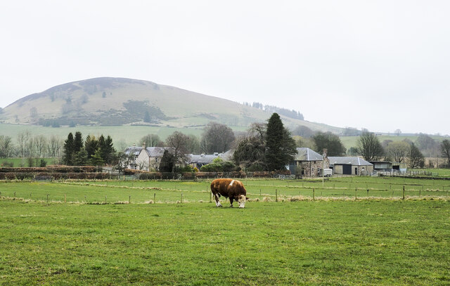
Ardormie Hill is located in the picturesque region of Perthshire in Scotland. With an elevation of approximately 380 meters (1,247 feet), it is classified as a hill rather than a mountain. Despite its modest height, Ardormie Hill offers breathtaking panoramic views of the surrounding countryside.
The hill is situated near the village of Alyth, which is known for its charming rural character and historic buildings. Ardormie Hill is easily accessible, with several well-marked trails leading to its summit. Hikers and nature enthusiasts frequent this area, drawn by its tranquil atmosphere and stunning vistas.
The hill is covered in a mix of heather, grasses, and shrubs, creating a rich and diverse habitat for local wildlife. Visitors may spot various bird species, such as red grouse and kestrels, as well as small mammals like rabbits and voles. The hillside also boasts a variety of wildflowers, adding vibrant colors to the landscape during the warmer months.
Ardormie Hill's summit provides an excellent vantage point to admire the surrounding countryside. On a clear day, one can see the rolling hills and valleys of Perthshire, dotted with farms and woodland. The nearby Grampian Mountains further enhance the panorama, adding depth and grandeur to the view.
Overall, Ardormie Hill is a peaceful and picturesque destination for those seeking a scenic hike and an opportunity to connect with nature.
If you have any feedback on the listing, please let us know in the comments section below.
Ardormie Hill Images
Images are sourced within 2km of 56.662424/-3.257339 or Grid Reference NO2353. Thanks to Geograph Open Source API. All images are credited.


![Rhinoceros Beetle at Bamff Just over 1 cm long, this lovely black beetle [Sinodendron cylindricum] was wandering around woodland by the edge of the Burnieshed Burn. Eggs are laid in tunnels in wood, and larvae take about three years before they pupate and then emerge as adults. <span class="nowrap"><a title="https://www.ukbeetles.co.uk/sinodendron-cylindricum" rel="nofollow ugc noopener" href="https://www.ukbeetles.co.uk/sinodendron-cylindricum">Link</a><img style="margin-left:2px;" alt="External link" title="External link - shift click to open in new window" src="https://s1.geograph.org.uk/img/external.png" width="10" height="10"/></span>](https://s2.geograph.org.uk/geophotos/07/52/28/7522830_1d3ce434.jpg)


![Cateran Trail waymarker A 103 km [64 mile] circular long distance path through Perthshire and the Angus Glens that passes through the Bamff Estate <span class="nowrap"><a title="https://www.pkct.org/cateran-trail#:~:text=One%20of%20Scotland%E2%80%99s%20Great%20Trails%2C%20the%20Cateran%20Trail,end%20and%20can%20be%20joined%20at%20any%20stage" rel="nofollow ugc noopener" href="https://www.pkct.org/cateran-trail#:~:text=One%20of%20Scotland%E2%80%99s%20Great%20Trails%2C%20the%20Cateran%20Trail,end%20and%20can%20be%20joined%20at%20any%20stage">Link</a><img style="margin-left:2px;" alt="External link" title="External link - shift click to open in new window" src="https://s1.geograph.org.uk/img/external.png" width="10" height="10"/></span>.](https://s3.geograph.org.uk/geophotos/07/52/34/7523415_5ecfee3b.jpg)


![Heath Bedstraw at Burnieshed of Bamff A fine patch of bedstraw [Galium saxatile] in open woodland by the Burnieshed Burn; for a close-up see <a href="https://www.geograph.org.uk/photo/7523452">NO2251 : Heath Bedstraw at Burnieshed of Bamff</a>.](https://s2.geograph.org.uk/geophotos/07/52/34/7523446_fe7937dc.jpg)
![Heath Bedstraw at Burnieshed of Bamff A close-up of the Heath Bedstraw [Galium saxatile] at <a href="https://www.geograph.org.uk/photo/7523446">NO2251 : Heath Bedstraw at Burnieshed of Bamff</a>, showing the small flowers with four petals.](https://s0.geograph.org.uk/geophotos/07/52/34/7523452_d554be62.jpg)


![Greater Spearwort in a Beaver pond at Bamff I am open to correction, as I was not able to get a close look. It is definitely a member of the Buttercup family. The pond was made by the damming activities of the Beavers on the estate. In the foreground are Foxgloves [white and purple] and, beyond, a garden-escape[?] Iris.](https://s1.geograph.org.uk/geophotos/07/52/34/7523481_09541159.jpg)

Ardormie Hill is located at Grid Ref: NO2353 (Lat: 56.662424, Lng: -3.257339)
Unitary Authority: Perth and Kinross
Police Authority: Tayside
What 3 Words
///corrosive.pound.uses. Near Alyth, Perth & Kinross
Nearby Locations
Related Wikis
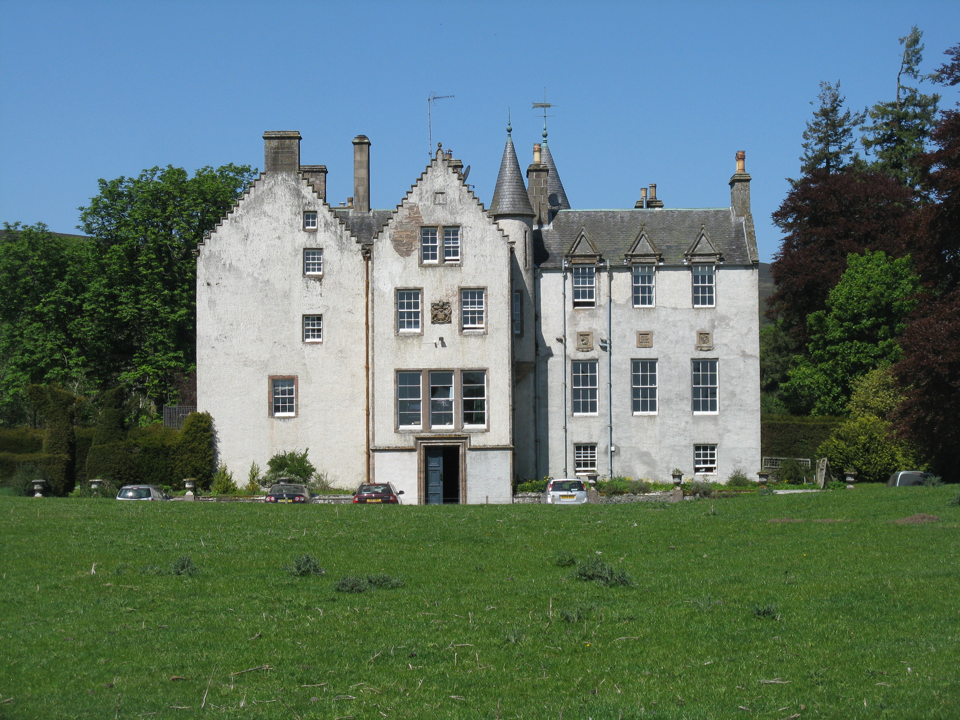
Bamff
Bamff House is the home of the Ramsays of Bamff, and is located within a 1,300-acre (5.3 km2) estate in Perthshire, Scotland. Bamff House began as a fortified...

Kilry Glen
Kilry Glen, in Angus, Scotland, is the glen of the Burn of Kilry, a tributary of the River Isla. It is situated west of the B954 road, approximately four...
Bridge of Craigisla
Bridge of Craigisla is a hamlet in Angus, Scotland. The bridge crosses the River Isla. This settlement lies along the B954 road. == References ==

Alyth market cross
Alyth market cross is a mercat cross located in Alyth, Perth and Kinross, Scotland. Now Category B listed, it dates to 1670. It has a rectangular shaft...
Have you been to Ardormie Hill?
Leave your review of Ardormie Hill below (or comments, questions and feedback).