Bread Hill

Hill, Mountain in Fife

Scotland

Bread Hill

Burntisland Kirk St. Columba's is the oldest pre-Reformation kirk still in use; the form of the present building dating from 1592. In 1601, it was chosen as the venue of the General Assembly, held in the presence of King James VI, at which the need for a new translation of the Bible was suggested. The idea materialised some time later in James' reign when the Authorised Version, known as the 'King James Bible' was printed in England in 1611. <span class="nowrap"><a title="http://www.undiscoveredscotland.co.uk/burntisland/parishchurch/index.html" rel="nofollow ugc noopener" href="http://www.undiscoveredscotland.co.uk/burntisland/parishchurch/index.html">Link</a><img style="margin-left:2px;" alt="External link" title="External link - shift click to open in new window" src="https://s1.geograph.org.uk/img/external.png" width="10" height="10"/></span>
Burntisland Kirk Credit: kim traynor

Bread Hill is a prominent landmark located in the region of Fife, Scotland. It is classified as a hill due to its relatively modest elevation, standing at an approximate height of 150 meters (492 feet) above sea level. Despite its humble size, Bread Hill offers stunning panoramic views of the surrounding countryside, making it a popular destination for hikers and nature enthusiasts.

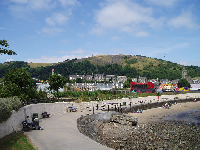
Situated near the town of Auchtermuchty, Bread Hill is part of the Lomond Hills range, which represents the highest hills in Fife. It is easily accessible, with well-maintained trails leading to the summit, providing visitors with a rewarding and enjoyable hiking experience. The ascent is relatively gentle, making it suitable for individuals of varying fitness levels.

At the top of Bread Hill, visitors are rewarded with breathtaking vistas that encompass vast stretches of the Fife countryside, including rolling green fields, picturesque villages, and meandering rivers. On clear days, it is even possible to catch a glimpse of Edinburgh, the capital city of Scotland, in the distance.

The area surrounding Bread Hill is rich in flora and fauna, with an abundance of wildlife that includes various bird species, small mammals, and plant life. This makes it an ideal spot for birdwatching and nature photography.

Whether it's for a leisurely stroll or a more challenging hike, Bread Hill offers a tranquil and scenic escape from the hustle and bustle of everyday life. Its accessibility, stunning views, and natural charm make it a beloved destination for both locals and visitors to Fife.

If you have any feedback on the listing, please let us know in the comments section below.
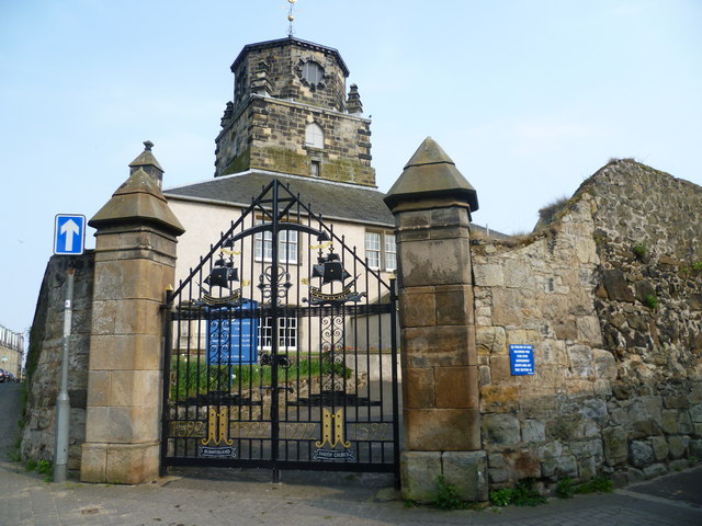
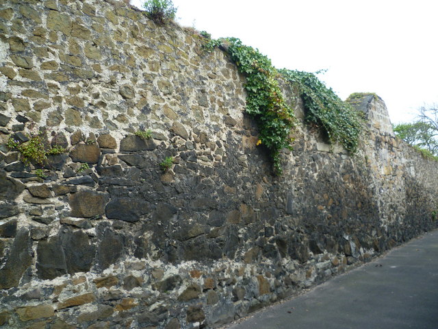
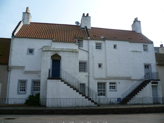
Bread Hill Images

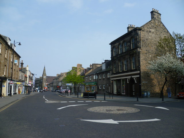
Images are sourced within 2km of 56.073124/-3.24155 or Grid Reference NT2287. Thanks to Geograph Open Source API. All images are credited.

Burntisland Kirk St. Columba's is the oldest pre-Reformation kirk still in use; the form of the present building dating from 1592. In 1601, it was chosen as the venue of the General Assembly, held in the presence of King James VI, at which the need for a new translation of the Bible was suggested. The idea materialised some time later in James' reign when the Authorised Version, known as the 'King James Bible' was printed in England in 1611. <span class="nowrap"><a title="http://www.undiscoveredscotland.co.uk/burntisland/parishchurch/index.html" rel="nofollow ugc noopener" href="http://www.undiscoveredscotland.co.uk/burntisland/parishchurch/index.html">Link</a><img style="margin-left:2px;" alt="External link" title="External link - shift click to open in new window" src="https://s1.geograph.org.uk/img/external.png" width="10" height="10"/></span>
Burntisland Kirk
St. Columba's is the oldest pre-Reformation kirk still in use; the form of the present building dating from 1592. In 1601, it was chosen as the venue of the General Assembly, held in the presence of King James VI, at which the need for a new translation of the Bible was suggested. The idea materialised some time later in James' reign when the Authorised Version, known as the 'King James Bible' was printed in England in 1611. LinkExternal link
Wall of Burntisland Parish Kirkyard, Scholars' Brae
17thC houses in Somerville Square, Burntisland 'Watson's West Tenement', bequeathed to the town by John Watson in about 1769 to provide three widows with rent-free accommodation; and still fulfils its original purpose today.
17thC houses in Somerville Square, Burntisland
'Watson's West Tenement', bequeathed to the town by John Watson in about 1769 to provide three widows with rent-free accommodation; and still fulfils its original purpose today.
17thC houses in Somerville Square, Burntisland
18thC house, Somerville Square, Burntisland An 18th century burgess house, though some parts are believed to be earlier. One of its former residents was the mathematician and astronomer Mary Somerville, after whom Somerville College in Oxford is named. <span class="nowrap"><a title="http://en.wikipedia.org/wiki/Mary_Somerville" rel="nofollow ugc noopener" href="http://en.wikipedia.org/wiki/Mary_Somerville">Link</a><img style="margin-left:2px;" alt="External link" title="External link - shift click to open in new window" src="https://s1.geograph.org.uk/img/external.png" width="10" height="10"/></span>

She was brought to life explaining her scientific observations to her friend, the great British landscape artist J.M.W. Turner in the 2014 feature film Mr. Turner'.
18thC house, Somerville Square, Burntisland
An 18th century burgess house, though some parts are believed to be earlier. One of its former residents was the mathematician and astronomer Mary Somerville, after whom Somerville College in Oxford is named. LinkExternal link She was brought to life explaining her scientific observations to her friend, the great British landscape artist J.M.W. Turner in the 2014 feature film Mr. Turner'.
Masonic Lodge, Somerville Square
18thC doorway, Somerville Square The carved stone to the right of the doorway reads, BLISSIT BE GOD FOR ALL HIS VAGES
18thC doorway, Somerville Square
The carved stone to the right of the doorway reads, BLISSIT BE GOD FOR ALL HIS VAGES
House in East Leven Street
19th century tenement, corner of Somerville Street and the Kirkgate
Hanselled Books, Burntisland A second-hand bookshop's name conserves of an old Scots word that has become practically extinct in the past half century. To hansel an object is to make first use of it, ergo 'Hanselled Books' are books that have already been read.
Hanselled Books, Burntisland
A second-hand bookshop's name conserves of an old Scots word that has become practically extinct in the past half century. To hansel an object is to make first use of it, ergo 'Hanselled Books' are books that have already been read.
High Street, Burntisland
Community Council Offices, High Street
Old drinking fountain, Burntisland Links
Burntisland's People An information board at the west entrance to the Links describes illustrious past inhabitants of the small burgh on the Fife coast. It includes James Robertson, last British governor of New York, Mary Somerville, proto-feminist scientist, Thomas Chalmers, leader of the Free Church after the Disruption, young Robert Pitcairn, who had an island named after him, and William Dick, pioneer veterinary doctor. 

The details can be read more easily by clicking on the 'More sizes' button above the frame and downloading a larger image.
Burntisland's People
An information board at the west entrance to the Links describes illustrious past inhabitants of the small burgh on the Fife coast. It includes James Robertson, last British governor of New York, Mary Somerville, proto-feminist scientist, Thomas Chalmers, leader of the Free Church after the Disruption, young Robert Pitcairn, who had an island named after him, and William Dick, pioneer veterinary doctor. The details can be read more easily by clicking on the 'More sizes' button above the frame and downloading a larger image.
Crown Tavern pub sign, Burntisland An unusual three-dimensional pub sign.
Crown Tavern pub sign, Burntisland
An unusual three-dimensional pub sign.
High Street pend, Burntisland
Church spire in the High Street
Burntisland railway station
Show me another place!

Bread Hill is located at Grid Ref: NT2287 (Lat: 56.073124, Lng: -3.24155)

Unitary Authority: Fife

Police Authority: Fife

What 3 Words

///evolves.photocopy.bond. Near Burntisland, Fife

Related Wikis

Nearby Amenities

Located within 500m of 56.073124,-3.24155
Barrier: kissing_gate
Foot: yes
Lat/Long: 56.0695128/-3.2436756
Barrier: stile
Lat/Long: 56.0743461/-3.2479621
Barrier: kissing_gate
Foot: yes
Lat/Long: 56.0713291/-3.2452493
Material: wood
Power: pole
Lat/Long: 56.070816/-3.2399126
Material: wood
Power: pole
Lat/Long: 56.0711752/-3.2389282
Power: pole
Lat/Long: 56.0723514/-3.2386917
Power: pole
Lat/Long: 56.0733273/-3.2385071
Power: pole
Lat/Long: 56.0741117/-3.2383398
Power: pole
Lat/Long: 56.0749176/-3.2381734
Material: wood
Power: pole
Lat/Long: 56.0694253/-3.2436724
Material: wood
Power: pole
Lat/Long: 56.0700722/-3.2418644
Power: pole
Lat/Long: 56.0757061/-3.2379883
Power: pole
Lat/Long: 56.0767221/-3.237734
Power: pole
Lat/Long: 56.071576/-3.234922
Power: pole
Lat/Long: 56.0718752/-3.2373272
Power: pole
Lat/Long: 56.0701376/-3.2397329
Power: pole
Lat/Long: 56.0695431/-3.2425312
Power: pole
Lat/Long: 56.0704013/-3.2384344
Power: pole
Lat/Long: 56.070625/-3.2374007
Power: pole
Lat/Long: 56.0708488/-3.2363381
Power: pole
Lat/Long: 56.0724179/-3.2391516
Power: pole
Lat/Long: 56.0732913/-3.2397313
Power: pole
Lat/Long: 56.0741307/-3.240302
Power: pole
Lat/Long: 56.0748343/-3.2408024
Power: pole
Lat/Long: 56.0753822/-3.24124
Power: pole
Lat/Long: 56.0756219/-3.2423174
Power: pole
Lat/Long: 56.0760339/-3.2438625
Power: pole
Lat/Long: 56.0763636/-3.2451587
Power: pole
Lat/Long: 56.076649/-3.2462417
Power: pole
Lat/Long: 56.0720758/-3.2389259
Power: pole
Lat/Long: 56.0696082/-3.2431587
Man Made: tower
Tower Construction: dish
Tower Type: communication
Lat/Long: 56.0717515/-3.2339487
Power: pole
Lat/Long: 56.0714878/-3.2349428
Power: pole
Lat/Long: 56.0717202/-3.2360814
Power: pole
Lat/Long: 56.069353/-3.2441296
Historic: archaeological_site
Lat/Long: 56.0692707/-3.2427195
The data included in this document is from www.openstreetmap.org. The data is made available under ODbL.

Have you been to Bread Hill?

Leave your review of Bread Hill below (or comments, questions and feedback).