Edston Hill
Hill, Mountain in Peeblesshire
Scotland
Edston Hill
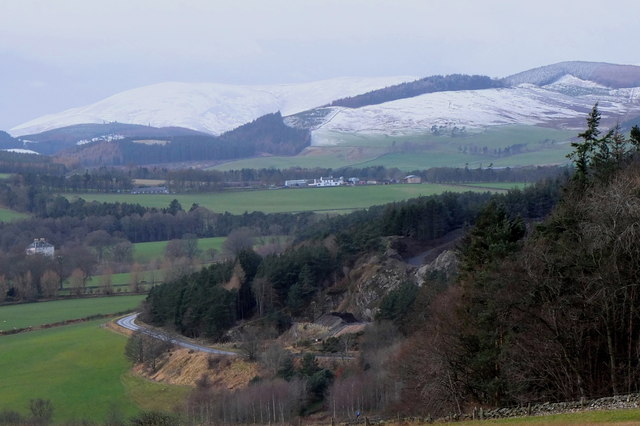
Edston Hill, located in Peeblesshire, Scotland, is a picturesque hill that offers stunning views of the surrounding area. It is situated approximately 4 miles southwest of the town of Peebles and stands at an elevation of 383 meters (1257 feet).
The hill is a popular destination for hikers and nature enthusiasts due to its accessibility and panoramic vistas. It is easily accessible by foot, with several well-marked paths leading to the summit. The terrain consists of rolling hills, heather-covered moorland, and scattered trees, providing a diverse and tranquil landscape.
From the top of Edston Hill, visitors can enjoy breathtaking views of the surrounding countryside, including the River Tweed and the beautiful Tweed Valley. On a clear day, it is even possible to catch a glimpse of the stunning nearby hills, such as the Pentland Hills and the Southern Uplands.
The hill is also home to a variety of wildlife, including birds of prey, such as buzzards and kestrels, as well as smaller mammals like rabbits and hares. The diverse flora and fauna make it an ideal spot for nature lovers and birdwatchers.
Overall, Edston Hill offers a peaceful and scenic escape for outdoor enthusiasts, providing a perfect blend of natural beauty and tranquility. Whether it's a leisurely stroll or a challenging hike, this hill in Peeblesshire promises a memorable experience for all who visit.
If you have any feedback on the listing, please let us know in the comments section below.
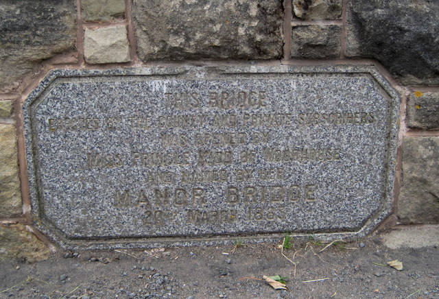
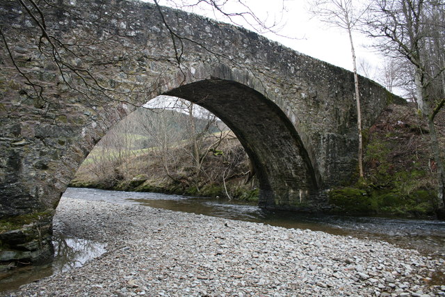
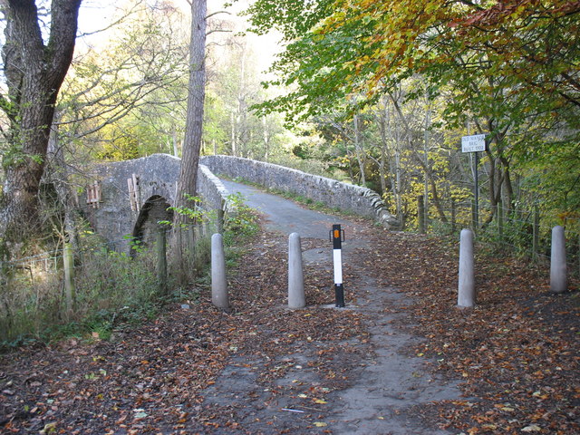
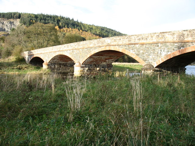
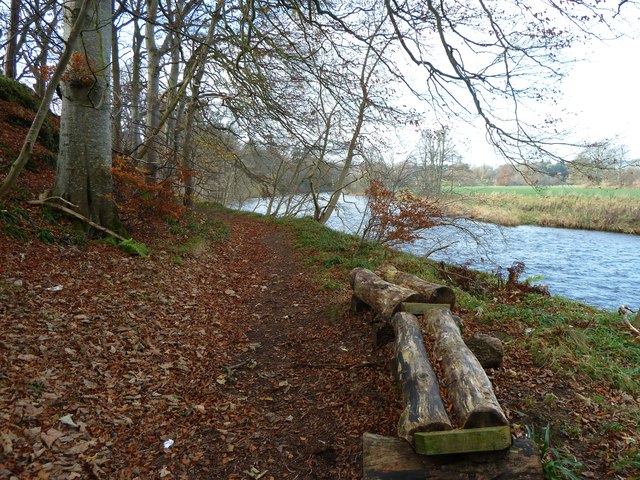
Edston Hill Images
Images are sourced within 2km of 55.652114/-3.2295728 or Grid Reference NT2240. Thanks to Geograph Open Source API. All images are credited.


Edston Hill is located at Grid Ref: NT2240 (Lat: 55.652114, Lng: -3.2295728)
Unitary Authority: The Scottish Borders
Police Authority: The Lothians and Scottish Borders
What 3 Words
///covertly.copies.chuckle. Near Peebles, Scottish Borders
Nearby Locations
Related Wikis

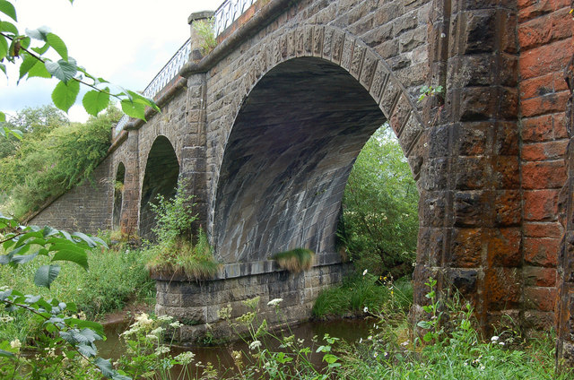
Neidpath Viaduct
Neidpath Viaduct, occasionally known as the Queen's Bridge, consists of eight stone skew arches and was built to carry the Symington to Peebles branch...

Neidpath Castle
Neidpath Castle is an L-plan rubble-built tower house, overlooking the River Tweed about 1 mile (1.6 km) west of Peebles in the Borders of Scotland. The...
Lyne Viaduct
Lyne Viaduct is a viaduct at Lyne in the Scottish Borders of Scotland. It consists of three stone skew arches and a plate girder approach span over a minor...

Lyne, Scottish Borders
Lyne (Scottish Gaelic: An Lainn) is a small village and civil parish in the Scottish Borders area of Scotland, 4 miles (6.4 km) west of the market town...
Nearby Amenities
Located within 500m of 55.652114,-3.2295728Have you been to Edston Hill?
Leave your review of Edston Hill below (or comments, questions and feedback).