Cairn Hill

Hill, Mountain in Angus

Scotland

Cairn Hill

Parish Church, Kirkton of Glenisla The church is one of the few buildings in the small settlement; it was built in 1821.
Parish Church, Kirkton of Glenisla Credit: Trevor Littlewood

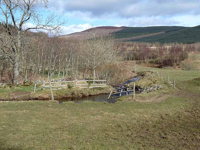
Cairn Hill is a prominent hill located in the county of Angus, Scotland. Standing at an elevation of 448 meters (1,470 feet), it is a popular destination for hikers and outdoor enthusiasts seeking stunning views and an adventurous experience.

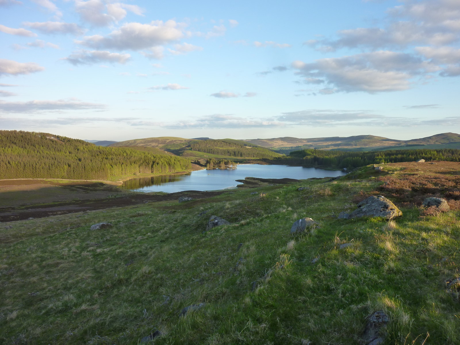
Situated in the eastern part of the Grampian Mountains, Cairn Hill offers breathtaking panoramic vistas of the surrounding landscape, including the picturesque Glen Esk and Glen Lethnot valleys. On a clear day, visitors can admire the rolling hills, lush greenery, and even catch glimpses of distant mountain ranges.

The hill itself features a varied terrain, with rocky outcrops, heather-clad slopes, and patches of forestry on its lower parts. This diverse landscape provides an enjoyable challenge for climbers and walkers, with different routes and paths to explore. The ascent to the summit is relatively moderate, making it accessible to a wide range of fitness levels.

At the top of Cairn Hill, a cairn (a pile of stones) marks the highest point, offering a perfect spot for a well-deserved rest and a chance to soak in the stunning scenery. The hill is known for its rich biodiversity, with various plant and animal species inhabiting the area.

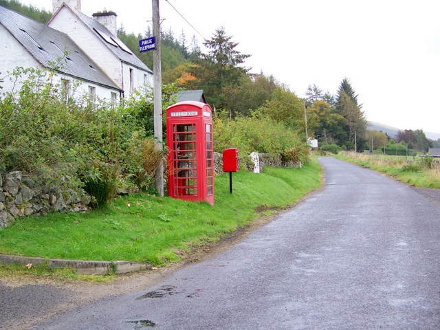
Cairn Hill is easily accessible from nearby towns and villages, and there are several designated parking areas and trails for visitors to use. It is advised to check weather conditions and prepare adequately before undertaking any hikes or walks in the area.

If you have any feedback on the listing, please let us know in the comments section below.

Cairn Hill Images

Images are sourced within 2km of 56.740592/-3.2650661 or Grid Reference NO2261. Thanks to Geograph Open Source API. All images are credited.

Parish Church, Kirkton of Glenisla The church is one of the few buildings in the small settlement; it was built in 1821.
Parish Church, Kirkton of Glenisla
The church is one of the few buildings in the small settlement; it was built in 1821.
'Improved' land on south side of Lindalla Lindalla is a hill on the north side of Glen Isla above Kirkton of Glenisla; it rises to 450 metres; it is cultivated over its entire southern side though much of it would be regarded as rough grazing.
Crock is the hill away to the east.
'Improved' land on south side of Lindalla
Lindalla is a hill on the north side of Glen Isla above Kirkton of Glenisla; it rises to 450 metres; it is cultivated over its entire southern side though much of it would be regarded as rough grazing. Crock is the hill away to the east.
Walled lane descending to Kirkton of Glenisla OS mapping shows a track or path descending from the minor hill Lindalla, towards Kirkton of Glenisla and reaching a road in the village. The route is faint on the hill but can be followed to the walled lane in the image which is surely the way which by it enters the settlement. There are however obstacles on the way beyond the lane: barbed wire, excessive bush & tree growth, and a streamlet.
Walled lane descending to Kirkton of Glenisla
OS mapping shows a track or path descending from the minor hill Lindalla, towards Kirkton of Glenisla and reaching a road in the village. The route is faint on the hill but can be followed to the walled lane in the image which is surely the way which by it enters the settlement. There are however obstacles on the way beyond the lane: barbed wire, excessive bush & tree growth, and a streamlet.
Glenisla parish Church The Glenisla parish church seen from the south.
Glenisla parish Church
The Glenisla parish church seen from the south.
Glebe Cottage Glebe Cottage in the small settlement of Kirkton of Glenisla is used currently as a holiday let. Previously the building has been in use as the village shop; see Richard Webb's image from 2005 - <a title="https://www.geograph.org.uk/photo/19457" href="https://www.geograph.org.uk/photo/19457">Link</a> .
Glebe Cottage
Glebe Cottage in the small settlement of Kirkton of Glenisla is used currently as a holiday let. Previously the building has been in use as the village shop; see Richard Webb's image from 2005 - Link .
Glenisla Hotel The Glenisla Hotel in Kirkton of Glenisla viewed across the minor stream, Kirkton Burn.
Glenisla Hotel
The Glenisla Hotel in Kirkton of Glenisla viewed across the minor stream, Kirkton Burn.
Willow arch, Kirkton of Glenisla Immediately opposite the Glen Isla Hotel.
Willow arch, Kirkton of Glenisla
Immediately opposite the Glen Isla Hotel.
Burn near East Mill Farm
Clump of Scots Pines near East Mill Farm
Sheep and mole hills, near Cammock Lodge
River Isla Near Kirkton of Glenisla.
River Isla
Near Kirkton of Glenisla.
Pony trekking at Glenisla
The village shop at Glenisla The bus is carrying a party of skiers who were staying at Glenisla Youth Hostel.
The village shop at Glenisla
The bus is carrying a party of skiers who were staying at Glenisla Youth Hostel.
Glenisla Hotel, Kirkton of Glenisla By B951.
Glenisla Hotel, Kirkton of Glenisla
By B951.
Cateran Trail B951 at Woodend of Glenisla.
Cateran Trail
B951 at Woodend of Glenisla.
Entering Kirkton of Glenisla On B951 from Kirriemuir.
Entering Kirkton of Glenisla
On B951 from Kirriemuir.
Hare Cairn trig pillar from the north The triangulation pillar on Hare Cairn viewed from the northern approach.
Hare Cairn trig pillar from the north
The triangulation pillar on Hare Cairn viewed from the northern approach.
Signpost at Freuchies Walker's signpost next to the Forestry Commission car park at Freuchies.
Signpost at Freuchies
Walker's signpost next to the Forestry Commission car park at Freuchies.
Show me another place!

Cairn Hill is located at Grid Ref: NO2261 (Lat: 56.740592, Lng: -3.2650661)

Unitary Authority: Angus

Police Authority: Tayside

What 3 Words

///refer.store.playfully. Near Alyth, Perth & Kinross

Nearby Locations

Cairn Hill

Related Wikis

Kirkton of Glenisla

Kirkton of Glenisla consists of a church and graveyard, a hotel, hall and several homes forming the largest concentration of habitation in Glenisla, Angus...

Knockshannoch Lodge

Knockshannoch Lodge is a Category B listed building in the Scottish village of Glenisla, Angus, built around 1888. It is a small, single-storey cottage...

Brewlands Bridge

Brewlands Bridge is a hamlet in Glen Isla, Angus, Scotland. It is lies situated on the River Isla, eleven miles north-west of Kirriemuir and ten miles...

Auchinleish

Auchinleish is a village in Angus, Scotland. == References ==

Backwater Reservoir

Backwater Reservoir is a reservoir in north west Angus, Scotland. The reservoir's sole purpose is to provide drinking water, and as such, it supplies Angus...

Auchintaple Loch

Auchintaple Loch also known as Auchenchapel Loch, is a small shallow freshwater loch that is located in Glen Isla in Angus, Scotland. == See also == List...

Folda, Angus

Folda is a hamlet in Glen Isla, Angus, Scotland. It is situated on the River Isla, twelve miles north-west of Kirriemuir and eleven miles north of Blairgowrie...

Little Forter

Little Forter is a hamlet in Glen Isla, Angus, Scotland. It is on the River Isla, 13 miles (21 kilometres) north-west of Kirriemuir and 11 miles (18 kilometres...

Nearby Amenities

Located within 500m of 56.740592,-3.2650661
Cairn Hill
Ele: 387
Natural: peak
Lat/Long: 56.7407207/-3.2647253
The data included in this document is from www.openstreetmap.org. The data is made available under ODbL.

Have you been to Cairn Hill?

Leave your review of Cairn Hill below (or comments, questions and feedback).