Pant Hill
Hill, Mountain in Montgomeryshire
Wales
Pant Hill

Pant Hill is a majestic mountain located in Montgomeryshire, Wales. Rising to an impressive height of approximately 500 meters (1,640 feet), it stands as a prominent landmark in the region. Situated within the picturesque landscape of Snowdonia National Park, Pant Hill offers breathtaking panoramic views of the surrounding countryside.
The mountain is known for its rugged terrain, characterized by steep slopes and rocky outcrops. It is primarily composed of ancient volcanic rocks, which give it a distinct and dramatic appearance. Pant Hill is enveloped by lush greenery, with dense forests covering its lower slopes and heather-clad moorland adorning its higher reaches.
The summit of Pant Hill provides visitors with an unrivaled vantage point, granting sweeping vistas of the Montgomeryshire countryside, including the neighboring peaks of Cader Idris and Snowdon. On clear days, it is even possible to catch a glimpse of the Irish Sea in the distance.
The mountain is a haven for outdoor enthusiasts, offering a multitude of activities such as hiking, rock climbing, and birdwatching. The diverse wildlife inhabiting the area includes red kites, peregrine falcons, and golden eagles. Pant Hill is also home to a variety of plant species, including rare mountain flowers that flourish in its rocky crevices.
Whether one seeks adventure, tranquility, or simply a connection with nature, Pant Hill in Montgomeryshire is a captivating destination that never fails to impress visitors with its natural beauty and awe-inspiring vistas.
If you have any feedback on the listing, please let us know in the comments section below.
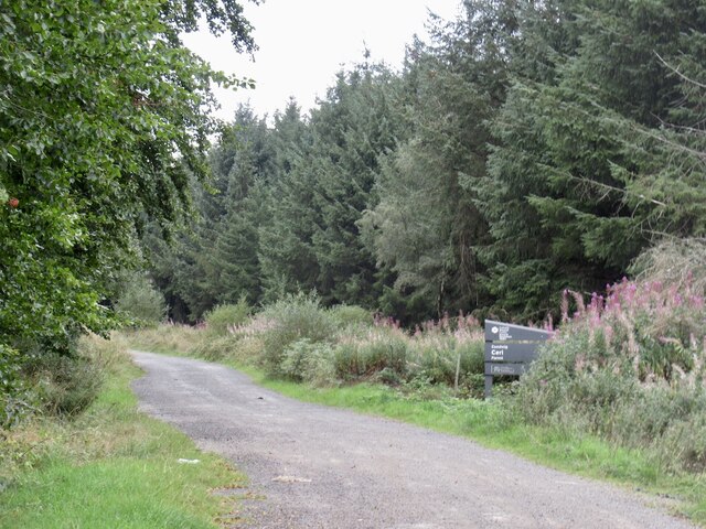
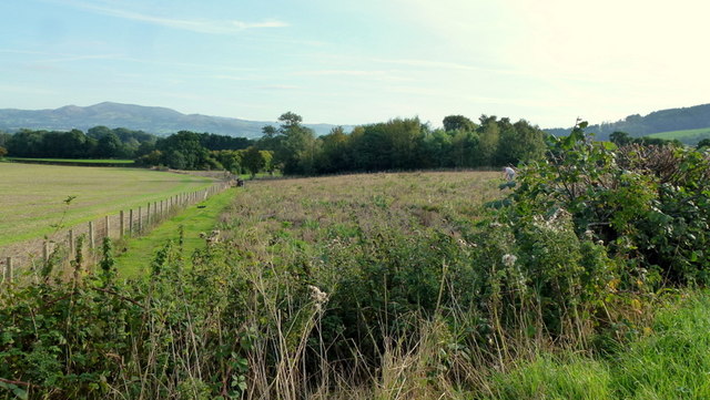
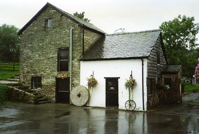
Pant Hill Images
Images are sourced within 2km of 52.49987/-3.1422855 or Grid Reference SO2289. Thanks to Geograph Open Source API. All images are credited.


Pant Hill is located at Grid Ref: SO2289 (Lat: 52.49987, Lng: -3.1422855)
Unitary Authority: Powys
Police Authority: Dyfed Powys
What 3 Words
///equipment.apartment.flushed. Near Mainstone, Shropshire
Nearby Locations
Related Wikis

City, Powys
City is a hamlet in Powys, Wales. == Geography == City is 0.75 miles (1.21 km) from the small village of Sarn (which is situated on the A489 road) and...

Holy Trinity Church, Sarn
Holy Trinity Church is a Church of England parish church in Sarn, Powys, Wales. It was constructed in 1860 and is one of a small number of churches in...
Sarn, Powys
Sarn is a small village in Powys, Wales. The village lies on the A489 road 6.4 miles (10.3 km) east of Newtown. There is a bus service through the village...

Great Cefnyberen
Great Cefnyberen (Welsh: Cefnyberen Fawr) is a Grade II timber framed house in the township of Cefnyberen in the historic parish of Kerry, Montgomeryshire...
Bacheldre
Bacheldre (Welsh: Bachelldref or Bachelldre) is a small settlement in Powys, Wales. It is near the A489 road and is 5 kilometres (3 mi) southeast of the...
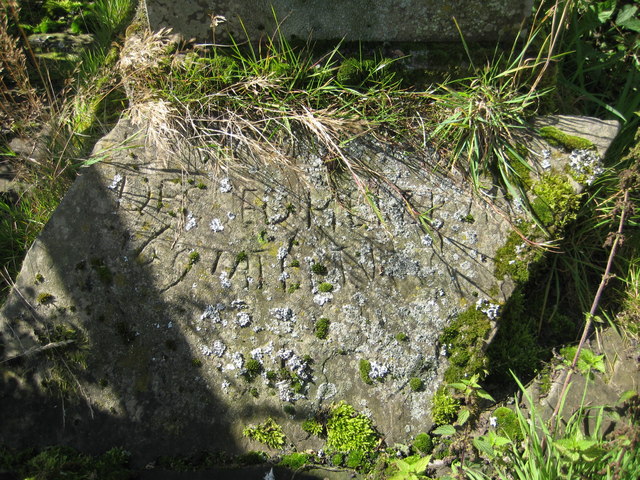
Cantlin Stone
The Cantlin Stone is a rough stone approximately two feet across with an inscription recording the death of one Willam Cantlin in the place where it is...
Pentreheyling
Pentreheyling is a hamlet in Shropshire, England. It lies just west of Brompton on the A489 between Church Stoke and Newtown. The hamlet is notable for...
Clun Forest
Clun Forest is a remote, rural area of open pastures, moorland and mixed deciduous/coniferous woodland in the southwest part of the English county of Shropshire...
Nearby Amenities
Located within 500m of 52.49987,-3.1422855Have you been to Pant Hill?
Leave your review of Pant Hill below (or comments, questions and feedback).