Canada Hill

Hill, Mountain in Peeblesshire

Scotland

Canada Hill

Signpost on the John Buchan Way Situated where the route leaves the tarmac road to take the track crossing the ridge of Cademuir and down into Peebles.
Signpost on the John Buchan Way Credit: Jim Barton

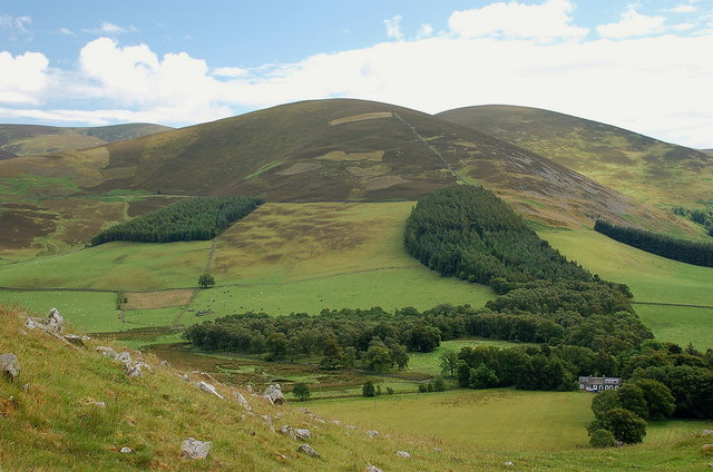
Canada Hill, located in Peeblesshire, Scotland, is a prominent hill known for its picturesque landscapes and historical significance. Rising approximately 350 meters above sea level, the hill offers breathtaking views of the surrounding countryside.

The name "Canada Hill" is thought to have originated from the local association with Canadian soldiers who trained in the area during World War II. The hill served as a training ground for the 2nd Canadian Infantry Division, and remnants of their presence can still be found, including a memorial cairn dedicated to the soldiers.

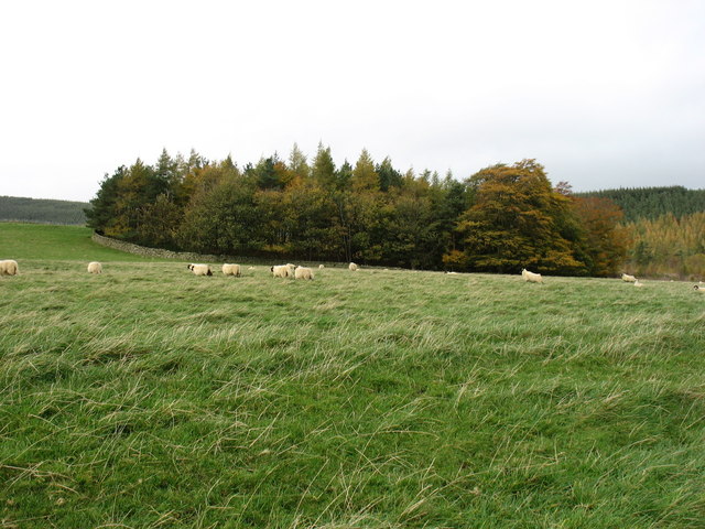
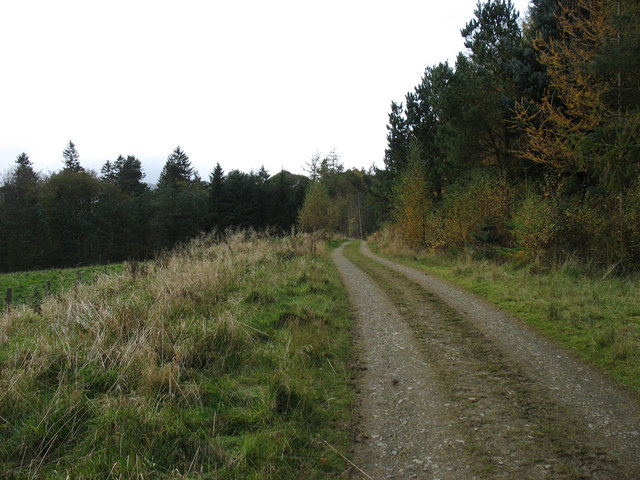
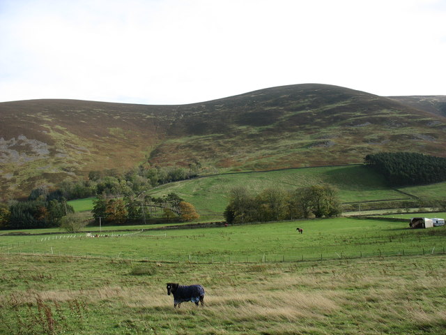
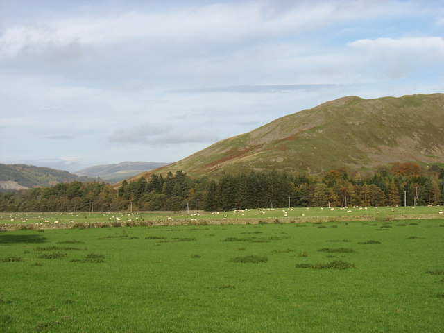
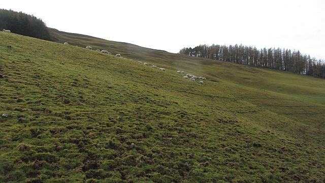
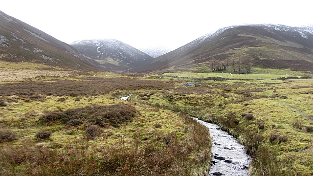
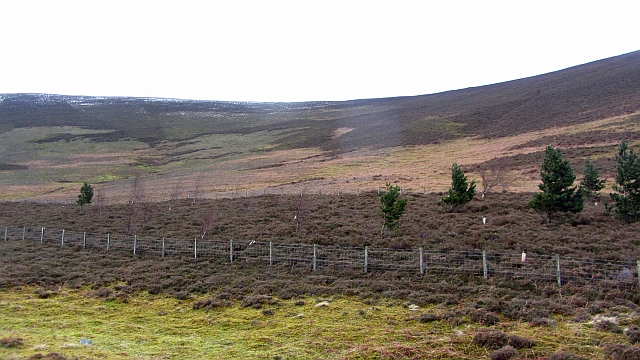
The hill itself is covered in lush greenery, predominantly consisting of heather and grasses, providing a rich habitat for various flora and fauna. Visitors can explore a network of well-maintained trails that wind their way up the hill, offering different levels of difficulty for hikers of all abilities.

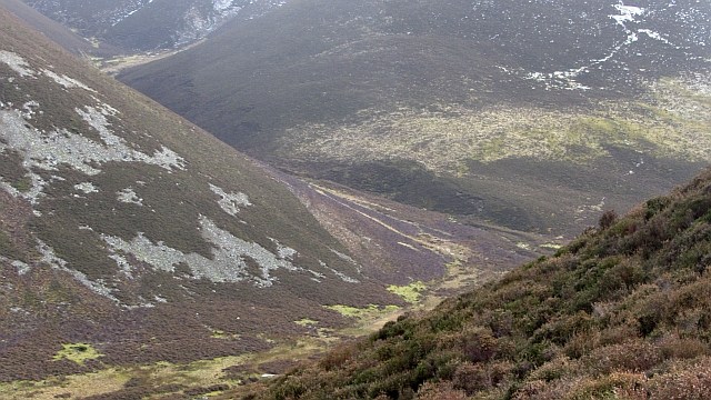
At the summit of Canada Hill, one can enjoy panoramic views of the Tweed Valley, the rolling hills of Peeblesshire, and the distant peaks of the Southern Uplands. On a clear day, the view extends as far as the Pentland Hills and the Edinburgh skyline.

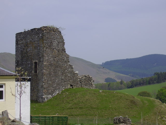
Aside from its natural beauty, Canada Hill also holds cultural significance. It is home to the Neidpath Castle, a 14th-century fortress with a fascinating history. The castle stands on the banks of the River Tweed, adding to the charm of the area.

Canada Hill in Peeblesshire is a haven for nature enthusiasts, history buffs, and those seeking tranquility amidst stunning scenery.

If you have any feedback on the listing, please let us know in the comments section below.
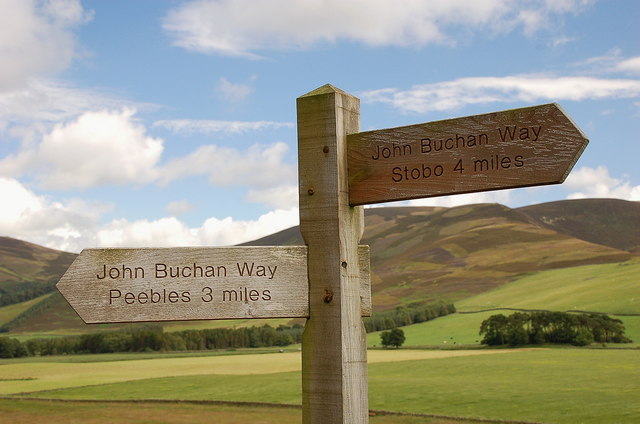
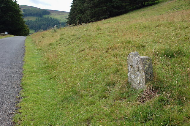
Canada Hill Images

Images are sourced within 2km of 55.602667/-3.2311044 or Grid Reference NT2235. Thanks to Geograph Open Source API. All images are credited.

Signpost on the John Buchan Way Situated where the route leaves the tarmac road to take the track crossing the ridge of Cademuir and down into Peebles.
Signpost on the John Buchan Way
Situated where the route leaves the tarmac road to take the track crossing the ridge of Cademuir and down into Peebles.
Old milestone below Cademuir Shown as a milestone on the map, but any marking the stone might have had has now worn away.
Old milestone below Cademuir
Shown as a milestone on the map, but any marking the stone might have had has now worn away.
Canada Hill from Cademuir Stob Law is just to the right of Canada Hill. The cottages are close by Cademuir farm.
Canada Hill from Cademuir
Stob Law is just to the right of Canada Hill. The cottages are close by Cademuir farm.
Ring Knowe An old hill fort is concealed within this plantation.
Ring Knowe
An old hill fort is concealed within this plantation.
In the Manor Valley At the left a minor stream runs down to join the Manor Water. It is called Dead Wife's Burn, but I don't know the story behind it.
In the Manor Valley
At the left a minor stream runs down to join the Manor Water. It is called Dead Wife's Burn, but I don't know the story behind it.
Forest track in Hallmanor Wood
In the Manor Valley Canada Hill is in the background to the left, and a spur of Glenrath Hill is on the right.
In the Manor Valley
Canada Hill is in the background to the left, and a spur of Glenrath Hill is on the right.
In the Manor Valley The west slopes of Cademuir Hill, with several hill forts along the ridge, is beyond the river.
In the Manor Valley
The west slopes of Cademuir Hill, with several hill forts along the ridge, is beyond the river.
Roundel Wood, Hallmanor Woodland surrounded by a dyke.
Roundel Wood, Hallmanor
Woodland surrounded by a dyke.
Bridge under construction Girders allow a dry crossing of the often difficult Manor Water. This is upstream of the bridge marked on the 1:25,000 Ordnance Survey map which is not there.
Bridge under construction
Girders allow a dry crossing of the often difficult Manor Water. This is upstream of the bridge marked on the 1:25,000 Ordnance Survey map which is not there.
Quaw Plantation One of many small woods on lower ground in the Manor Valley and around Cademuir.
Quaw Plantation
One of many small woods on lower ground in the Manor Valley and around Cademuir.
Quaw Plantation Inside the wood, mostly birches here.
Quaw Plantation
Inside the wood, mostly birches here.
Lower slopes of Canada Hill Sheep on short grass, frost was coming out of the ground in a slow thaw giving slippery going.
Lower slopes of Canada Hill
Sheep on short grass, frost was coming out of the ground in a slow thaw giving slippery going.
Flat land behind Cademuir Looking towards Cademuir Hill from behind Hundeshope. The hill has still got its tree covered summit. The land between is flat with a feel of being a former loch bed.
Flat land behind Cademuir
Looking towards Cademuir Hill from behind Hundeshope. The hill has still got its tree covered summit. The land between is flat with a feel of being a former loch bed.
Pines of Hundleshope A regenerating pinewood on the glen floor.
Pines of Hundleshope
A regenerating pinewood on the glen floor.
Hundles Hope The Hundleshope Burn flows across a flat glen floor which contrasts with steep sides. There are junipers on the steeper ground. Ahead is a former enclosed field beneath the north ridge of Stob Law.
Hundles Hope
The Hundleshope Burn flows across a flat glen floor which contrasts with steep sides. There are junipers on the steeper ground. Ahead is a former enclosed field beneath the north ridge of Stob Law.
New wood, Hundles Hope A fenced off bit of moorland with young trees.
New wood, Hundles Hope
A fenced off bit of moorland with young trees.
Bleak Hope and Hundles Hope One of the joys of the Southern Uplands is the network of secretive glens which branch out into hidden corners, no doubt put to bad use in reiving days. Here out of sight of the outside world, the young Hundleshope receives the waters of the Glenfinnin Burn flowing out of Bleak Hope.
Bleak Hope and Hundles Hope
One of the joys of the Southern Uplands is the network of secretive glens which branch out into hidden corners, no doubt put to bad use in reiving days. Here out of sight of the outside world, the young Hundleshope receives the waters of the Glenfinnin Burn flowing out of Bleak Hope.
Show me another place!

Canada Hill is located at Grid Ref: NT2235 (Lat: 55.602667, Lng: -3.2311044)

Unitary Authority: The Scottish Borders

Police Authority: The Lothians and Scottish Borders

What 3 Words

///rear.hardening.appealing. Near Peebles, Scottish Borders

Related Wikis

Castlehill Tower

Castlehill Tower, also known as Castle Hill of Manor, is a ruined oblong tower house dating from the end of the 15th century, situated in the parish of...

Lyne Water

The Lyne Water is a tributary of the River Tweed that rises in the Pentland Hills of southern Scotland at Baddinsgill Reservoir. It runs through West Linton...

Manor, Scottish Borders

Manor is a parish in Peeblesshire in the Scottish Borders, whose church lies on the west bank of Manor Water 3 miles south-west of Peebles.The parish...

Posso Tower

Posso Tower is a 16th-century tower house, about 6.0 miles (9.7 km) south and west of Peebles, Scottish Borders, Scotland, and west of Manor Water. �...

Nearby Amenities

Located within 500m of 55.602667,-3.2311044
Canada Hill
Ele: 524
Ele Ft: 1721
Natural: peak
Lat/Long: 55.6033674/-3.2306612
The data included in this document is from www.openstreetmap.org. The data is made available under ODbL.

Have you been to Canada Hill?

Leave your review of Canada Hill below (or comments, questions and feedback).