Glenrath Hill
Hill, Mountain in Peeblesshire
Scotland
Glenrath Hill

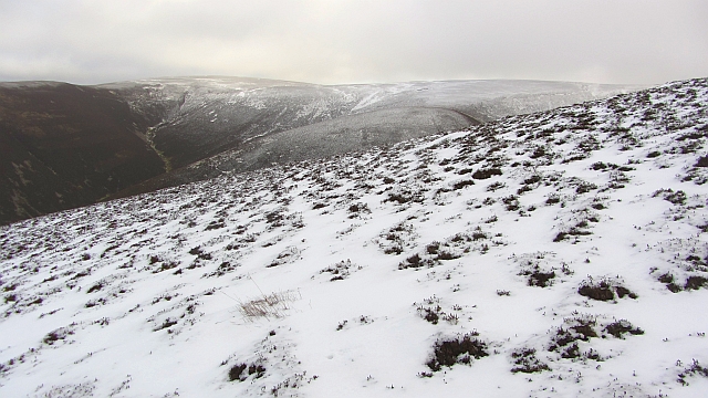
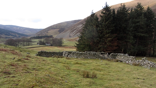
Glenrath Hill is a prominent geographical feature located in Peeblesshire, a region in the Scottish Borders of Scotland. Rising to an elevation of approximately 558 meters (1,831 feet), it is considered a hill rather than a mountain due to its relatively moderate height.
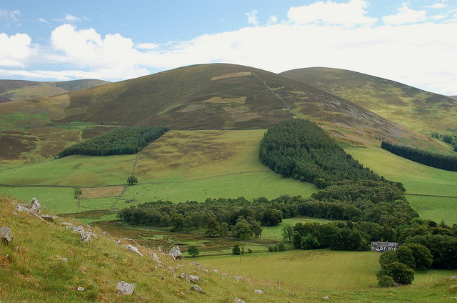
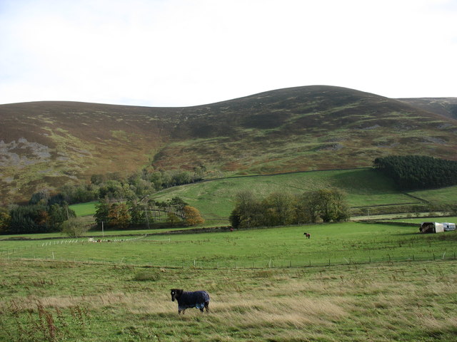
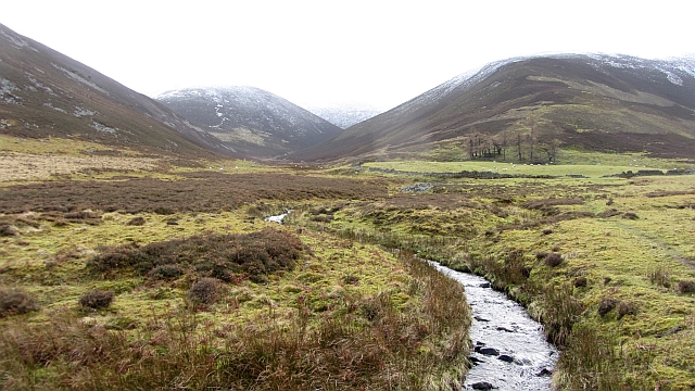
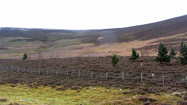
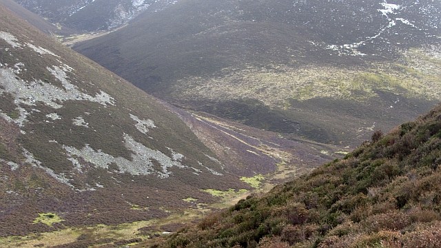
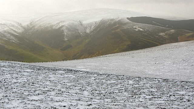
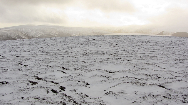
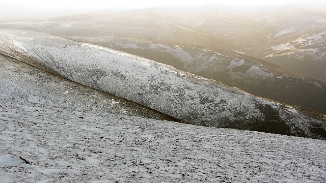
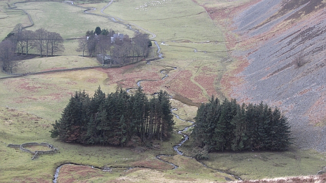
Situated in a rural area, Glenrath Hill boasts breathtaking panoramic views of the surrounding countryside. It is part of the Moorfoot Hills, a range known for its rolling terrain and diverse wildlife. The hill is a popular destination for hikers and nature enthusiasts, offering various walking trails and paths that allow visitors to immerse themselves in the stunning natural beauty of the area.
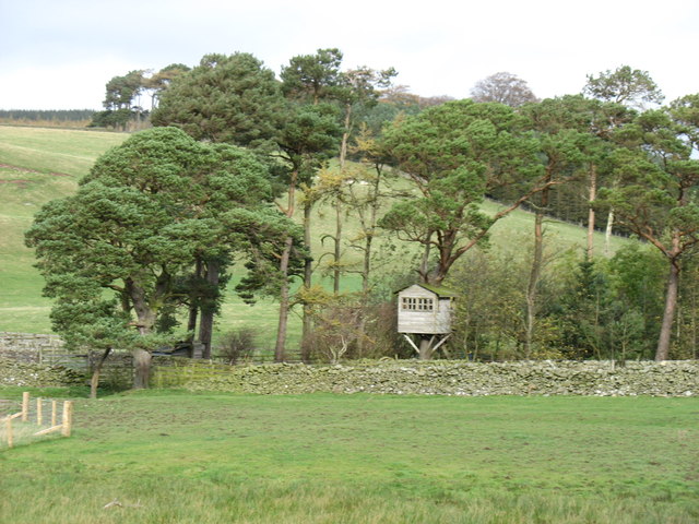
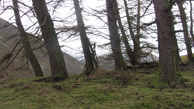
The landscape surrounding Glenrath Hill is characterized by verdant greenery, heather-covered moorlands, and scattered woodlands. The hill itself is predominantly grassy, with rocky outcrops adding to its rugged charm. Its slopes are home to a variety of plant and animal species, including heather, bilberry, and a wide array of birdlife.
From the summit of Glenrath Hill, on a clear day, one can admire sweeping views of the Scottish Borders, including the nearby towns of Peebles and Innerleithen. It is a place of tranquility and solitude, offering a much-needed escape from the hustle and bustle of everyday life.
Overall, Glenrath Hill in Peeblesshire is a picturesque and accessible natural landmark, offering visitors the opportunity to connect with nature and enjoy the awe-inspiring beauty of the Scottish countryside.
If you have any feedback on the listing, please let us know in the comments section below.
Glenrath Hill Images
Images are sourced within 2km of 55.589848/-3.2324167 or Grid Reference NT2233. Thanks to Geograph Open Source API. All images are credited.


Glenrath Hill is located at Grid Ref: NT2233 (Lat: 55.589848, Lng: -3.2324167)
Unitary Authority: The Scottish Borders
Police Authority: The Lothians and Scottish Borders
What 3 Words
///ruled.valued.horseshoe. Near Peebles, Scottish Borders
Nearby Locations
Related Wikis
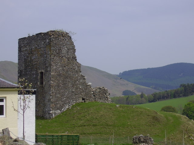
Castlehill Tower
Castlehill Tower, also known as Castle Hill of Manor, is a ruined oblong tower house dating from the end of the 15th century, situated in the parish of...

Posso Tower
Posso Tower is a 16th-century tower house, about 6.0 miles (9.7 km) south and west of Peebles, Scottish Borders, Scotland, and west of Manor Water. �...

Manor Hills
The Manor Hills, also known as the Tweedsmuir Hills, are a range of hills south of Peebles in the Scottish Borders, one of the ranges which collectively...

Dun Rig
Dun Rig is a hill in the Manor Hills range, part of the Southern Uplands of Scotland. It is the highest hill in the northernmost cluster of the Manor Hills...
Have you been to Glenrath Hill?
Leave your review of Glenrath Hill below (or comments, questions and feedback).