Demming Crag
Hill, Mountain in Cumberland Copeland
England
Demming Crag
Demming Crag, located in Cumberland, England, is a prominent hill/mountain that stands at an elevation of approximately 1,850 feet (564 meters) above sea level. It is situated in the picturesque Lake District National Park, specifically within the eastern region of the park.
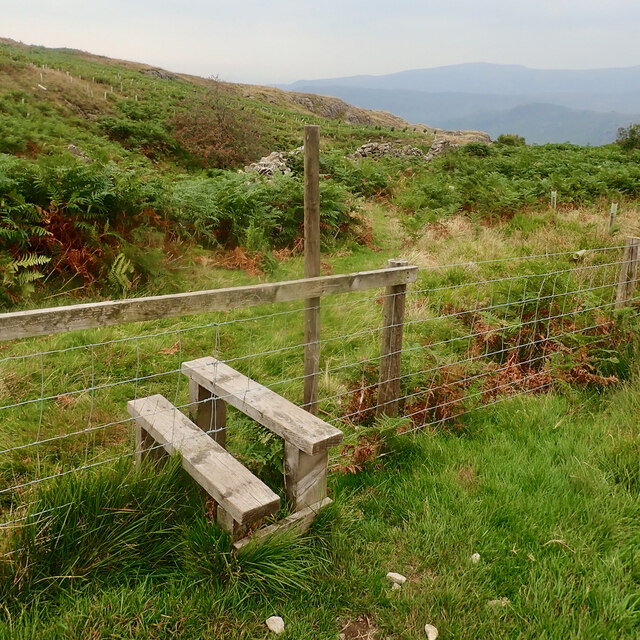
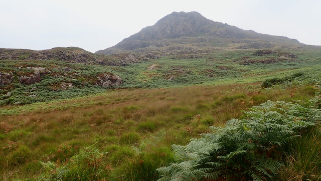
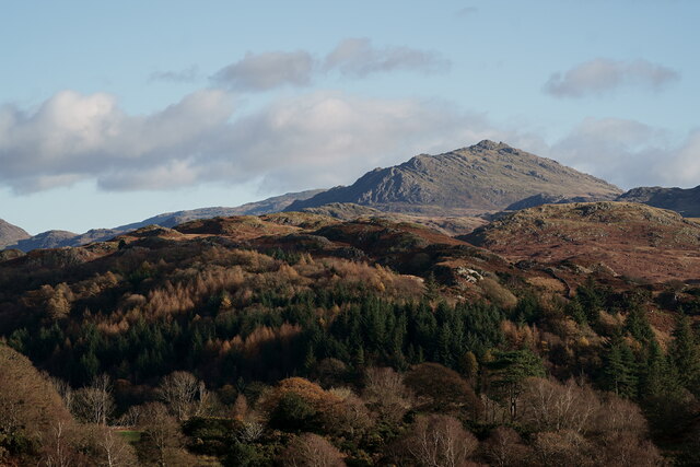
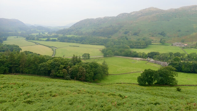
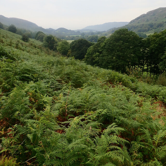
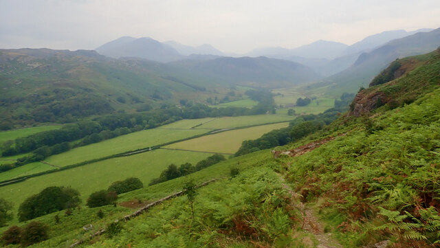
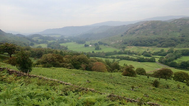
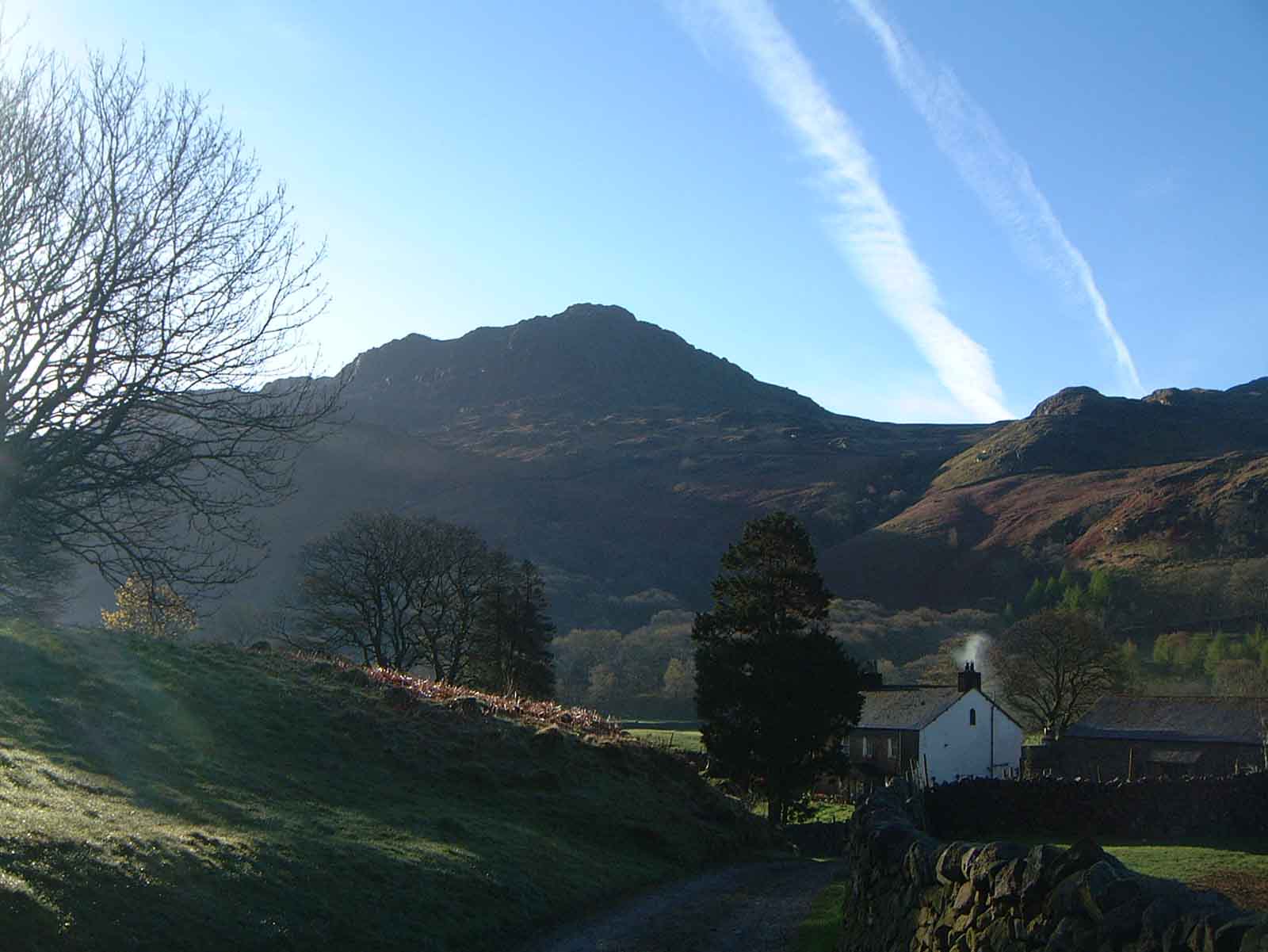
The crag is characterized by its rugged and rocky terrain, with steep slopes and a distinctive rocky outcrop at its summit. Its location offers breathtaking panoramic views of the surrounding countryside, including the nearby Ullswater Lake, which adds to its allure for hikers and outdoor enthusiasts.
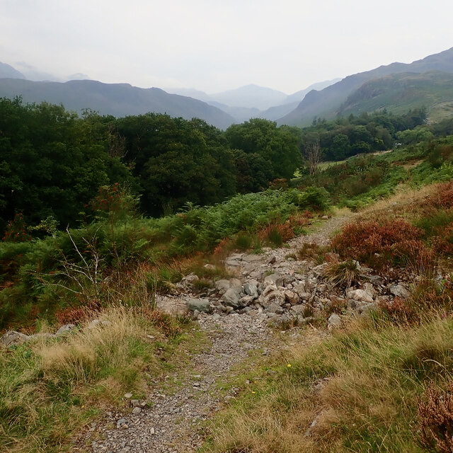
The ascent to Demming Crag can be challenging, especially for novice hikers, due to its steep gradients and uneven paths. However, experienced climbers and walkers will find the climb rewarding, as it provides an opportunity to explore the diverse flora and fauna that thrive within the crag's ecosystem.
Those venturing to the summit will be treated to a remarkable vista of rolling hills, verdant valleys, and charming villages dotting the landscape below. On clear days, it is possible to see as far as the Solway Firth and the Scottish border. The crag also serves as an excellent vantage point for photographers, capturing the beauty of the Lake District's natural scenery.
Demming Crag, with its rugged beauty and stunning views, attracts both locals and tourists seeking an outdoor adventure or a peaceful retreat in nature. Its accessibility from nearby towns, such as Penrith and Keswick, makes it a popular destination for day hikes or longer excursions in the Lake District.
If you have any feedback on the listing, please let us know in the comments section below.
Demming Crag Images
Images are sourced within 2km of 54.391444/-3.1989631 or Grid Reference NY2200. Thanks to Geograph Open Source API. All images are credited.


Demming Crag is located at Grid Ref: NY2200 (Lat: 54.391444, Lng: -3.1989631)
Administrative County: Cumbria
District: Copeland
Police Authority: Cumbria
What 3 Words
///salad.beeline.cabbies. Near Ambleside, Cumbria
Nearby Locations
Related Wikis
Harter Fell (Eskdale)
Harter Fell is a fell in the western part of the English Lake District, located between the Eskdale and Duddon valleys. Its height is 653 metres (2,142...

Hardknott Pass
Hardknott Pass is a hill pass between Eskdale and the Duddon Valley in the Lake District National Park, Cumbria, England. The tarmac-surfaced road, which...

Hardknott Roman Fort
Hardknott Roman Fort is an archeological site, the remains of the Roman fort Mediobogdum, located on the western side of the Hardknott Pass in the English...

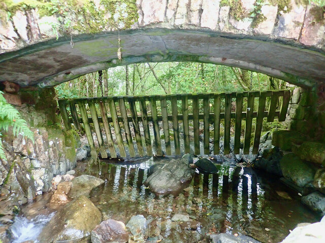
Birks Bridge
Birks Bridge is a traditional stone-built bridge over the River Duddon in the English Lake District, in Dunnerdale-with-Seathwaite, Cumbria, standing...

Hard Knott
Hard Knott is a fell in the English Lake District, at the head of Eskdale. == Geology == Rhyolitic lava-like tuff of the Bad Step Tuff forms the summit...

Cockley Beck
Cockley Beck is a small hamlet, situated in the Duddon Valley in Cumbria, England. Historically, the hamlet was part of Lancashire. Located today within...

Green Crag
Green Crag is a fell in the English Lake District. It stands between Eskdale and the Duddon valley in the Southern Fells. == Topography == The headwaters...

Seathwaite Tarn
Seathwaite Tarn is a reservoir in the Furness Fells within the English Lake District. It is located to the south of Grey Friar and to the west of Brim...
Nearby Amenities
Located within 500m of 54.391444,-3.1989631Have you been to Demming Crag?
Leave your review of Demming Crag below (or comments, questions and feedback).