Cairn Hill

Hill, Mountain in Angus

Scotland

Cairn Hill

Parish Church, Kirkton of Glenisla The church is one of the few buildings in the small settlement; it was built in 1821.
Parish Church, Kirkton of Glenisla Credit: Trevor Littlewood

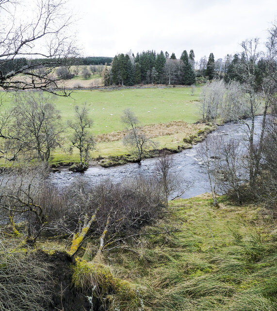
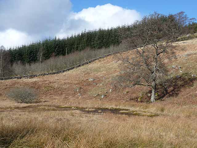
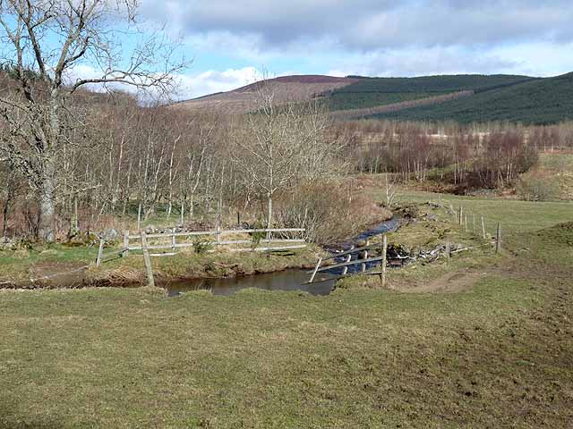
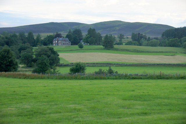
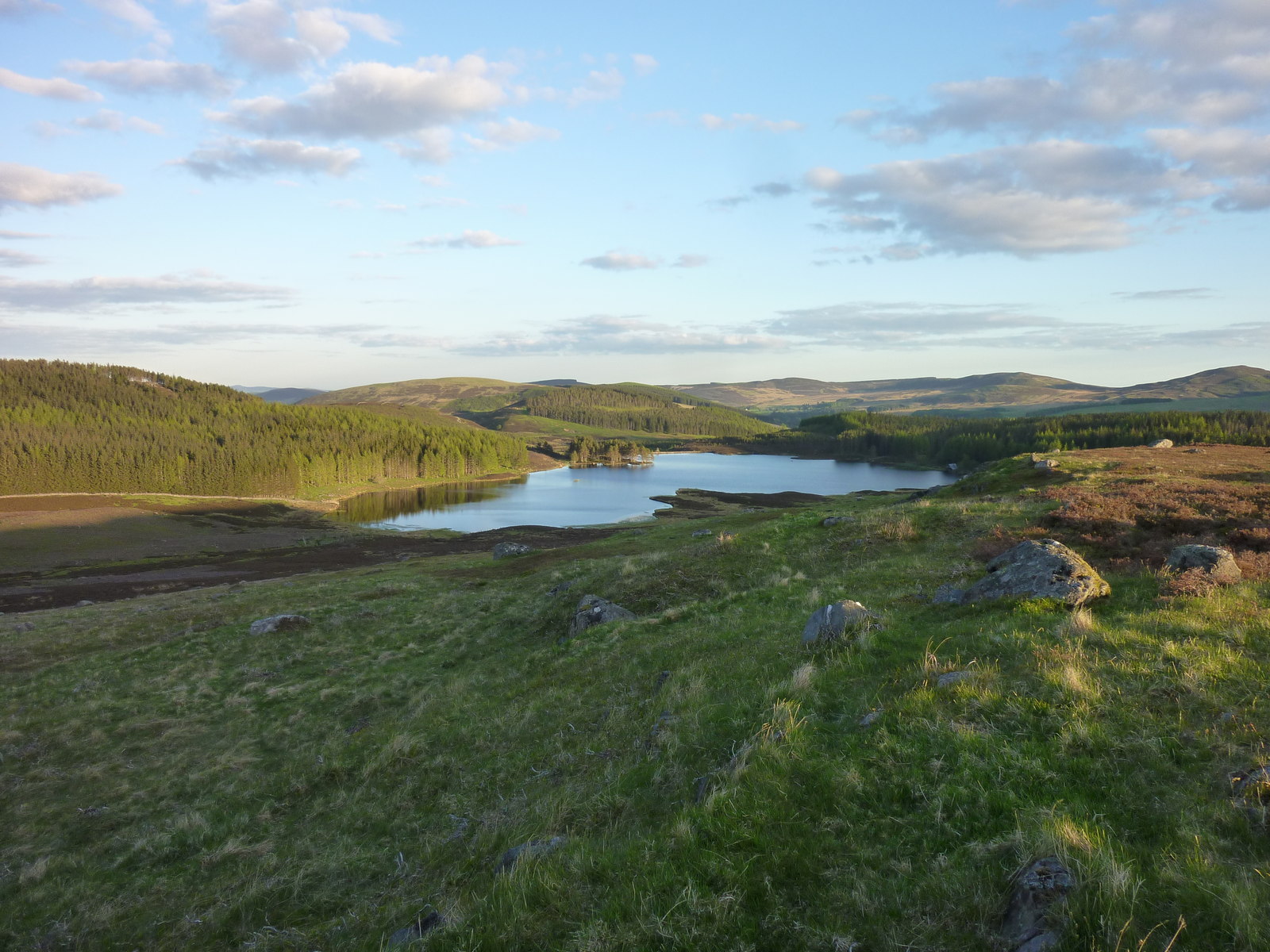
Cairn Hill is a prominent hill located in Angus, Scotland. It is part of the Sidlaw Hills range, which stretches across the eastern part of the country. Standing at an elevation of 675 meters (2,215 feet), Cairn Hill offers breathtaking panoramic views of the surrounding landscape.

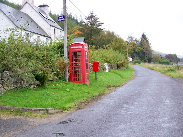
The hill is easily accessible and attracts a significant number of hikers and nature enthusiasts throughout the year. It is particularly popular among those seeking a moderate challenge as the ascent is relatively straightforward but rewarding. The well-marked trails leading to the summit take visitors through picturesque woodlands, open moorland, and heather-covered slopes.

At the peak, a cairn, a man-made pile of stones, marks the highest point and provides a perfect spot for a picnic or to simply take in the stunning vistas. On a clear day, one can see the rolling hills of Angus, the fertile farmlands, and even glimpses of the North Sea in the distance.

Cairn Hill is also a haven for wildlife, offering habitats for various bird species, including grouse and buzzards. The surrounding woodlands are home to red squirrels, while the hillside provides grazing for wild deer. This natural diversity makes Cairn Hill an excellent location for birdwatching and nature photography.

Overall, Cairn Hill in Angus offers a tranquil escape from the hustle and bustle of everyday life, providing an opportunity to immerse oneself in the beauty of Scotland's countryside.

If you have any feedback on the listing, please let us know in the comments section below.

Cairn Hill Images

Images are sourced within 2km of 56.720452/-3.2761383 or Grid Reference NO2159. Thanks to Geograph Open Source API. All images are credited.

Parish Church, Kirkton of Glenisla The church is one of the few buildings in the small settlement; it was built in 1821.
Parish Church, Kirkton of Glenisla
The church is one of the few buildings in the small settlement; it was built in 1821.
Walled lane descending to Kirkton of Glenisla OS mapping shows a track or path descending from the minor hill Lindalla, towards Kirkton of Glenisla and reaching a road in the village. The route is faint on the hill but can be followed to the walled lane in the image which is surely the way which by it enters the settlement. There are however obstacles on the way beyond the lane: barbed wire, excessive bush & tree growth, and a streamlet.
Walled lane descending to Kirkton of Glenisla
OS mapping shows a track or path descending from the minor hill Lindalla, towards Kirkton of Glenisla and reaching a road in the village. The route is faint on the hill but can be followed to the walled lane in the image which is surely the way which by it enters the settlement. There are however obstacles on the way beyond the lane: barbed wire, excessive bush & tree growth, and a streamlet.
Trees beside the River Isla, standing and fallen A bend of the river near to Kirkton of Glenisla with trees standing on both banks and fallen trees on the south side no doubt knocked over during a storm in the winter of 2021 to 2022.
Trees beside the River Isla, standing and fallen
A bend of the river near to Kirkton of Glenisla with trees standing on both banks and fallen trees on the south side no doubt knocked over during a storm in the winter of 2021 to 2022.
Glenisla parish Church The Glenisla parish church seen from the south.
Glenisla parish Church
The Glenisla parish church seen from the south.
Footbridge over River Isla at Kirkton of Glenisla The bridge is of some antiquity and carries the long distance path, Cateran Trail. Currently in April 2022 the bridge is 'closed' as it's deemed to be unsafe. There's a notice but no barrier to crossing at the road access to the bridge which is out of view to the right. At the other end there's no notice so the first warning that a walker would have comes only after a crossing has been made!
Footbridge over River Isla at Kirkton of Glenisla
The bridge is of some antiquity and carries the long distance path, Cateran Trail. Currently in April 2022 the bridge is 'closed' as it's deemed to be unsafe. There's a notice but no barrier to crossing at the road access to the bridge which is out of view to the right. At the other end there's no notice so the first warning that a walker would have comes only after a crossing has been made!
Glebe Cottage Glebe Cottage in the small settlement of Kirkton of Glenisla is used currently as a holiday let. Previously the building has been in use as the village shop; see Richard Webb's image from 2005 - <a title="https://www.geograph.org.uk/photo/19457" href="https://www.geograph.org.uk/photo/19457">Link</a> .
Glebe Cottage
Glebe Cottage in the small settlement of Kirkton of Glenisla is used currently as a holiday let. Previously the building has been in use as the village shop; see Richard Webb's image from 2005 - Link .
Glenisla Hotel The Glenisla Hotel in Kirkton of Glenisla viewed across the minor stream, Kirkton Burn.
Glenisla Hotel
The Glenisla Hotel in Kirkton of Glenisla viewed across the minor stream, Kirkton Burn.
Dried up pond at Holmiry In Glen Isla.
Dried up pond at Holmiry
In Glen Isla.
Willow arch, Kirkton of Glenisla Immediately opposite the Glen Isla Hotel.
Willow arch, Kirkton of Glenisla
Immediately opposite the Glen Isla Hotel.
Glenisla Primary School In Kirkton of Glenisla.
Glenisla Primary School
In Kirkton of Glenisla.
Burn near East Mill Farm
Clump of Scots Pines near East Mill Farm
Sheep and mole hills, near Cammock Lodge
River Isla Near Kirkton of Glenisla.
River Isla
Near Kirkton of Glenisla.
Rickety bridge It looks fragile but is quite sturdy, taking walkers on the Cateran Trail across the river Isla, just south of Kirkton of Glenisla.
Rickety bridge
It looks fragile but is quite sturdy, taking walkers on the Cateran Trail across the river Isla, just south of Kirkton of Glenisla.
Pony trekking at Glenisla
Glen Isla at Auchenleish Looking across the glen to Auchenleish House which is just outside the square.
Glen Isla at Auchenleish
Looking across the glen to Auchenleish House which is just outside the square.
Roadkill, Glen Isla A female Pheasant; this area has a very high density of Pheasant-rearing.
Roadkill, Glen Isla
A female Pheasant; this area has a very high density of Pheasant-rearing.
Show me another place!

Cairn Hill is located at Grid Ref: NO2159 (Lat: 56.720452, Lng: -3.2761383)

Unitary Authority: Angus

Police Authority: Tayside

What 3 Words

///bought.amazed.clips. Near Alyth, Perth & Kinross

Nearby Locations

Cairn Hill Whitehill Wood

Related Wikis

Kirkton of Glenisla

Kirkton of Glenisla consists of a church and graveyard, a hotel, hall and several homes forming the largest concentration of habitation in Glenisla, Angus...

Knockshannoch Lodge

Knockshannoch Lodge is a Category B listed building in the Scottish village of Glenisla, Angus, built around 1888. It is a small, single-storey cottage...

Auchinleish

Auchinleish is a village in Angus, Scotland. == References ==

Brewlands Bridge

Brewlands Bridge is a hamlet in Glen Isla, Angus, Scotland. It is lies situated on the River Isla, eleven miles north-west of Kirriemuir and ten miles...

Backwater Reservoir

Backwater Reservoir is a reservoir in north west Angus, Scotland. The reservoir's sole purpose is to provide drinking water, and as such, it supplies Angus...

Kilry Glen

Kilry Glen, in Angus, Scotland, is the glen of the Burn of Kilry, a tributary of the River Isla. It is situated west of the B954 road, approximately four...

Folda, Angus

Folda is a hamlet in Glen Isla, Angus, Scotland. It is situated on the River Isla, twelve miles north-west of Kirriemuir and eleven miles north of Blairgowrie...

Auchintaple Loch

Auchintaple Loch also known as Auchenchapel Loch, is a small shallow freshwater loch that is located in Glen Isla in Angus, Scotland. == See also == List...

Nearby Amenities

Located within 500m of 56.720452,-3.2761383
Cairn Hill
Ele: 340
Natural: peak
Lat/Long: 56.7213094/-3.2786441
The data included in this document is from www.openstreetmap.org. The data is made available under ODbL.

Have you been to Cairn Hill?

Leave your review of Cairn Hill below (or comments, questions and feedback).