Harter Fell
Hill, Mountain in Cumberland Copeland
England
Harter Fell

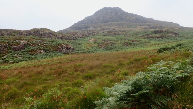
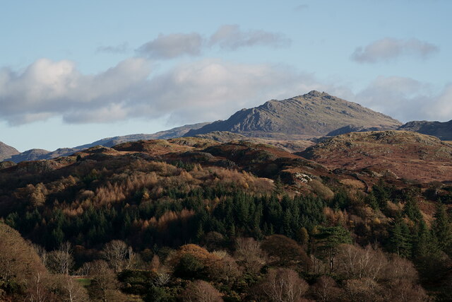
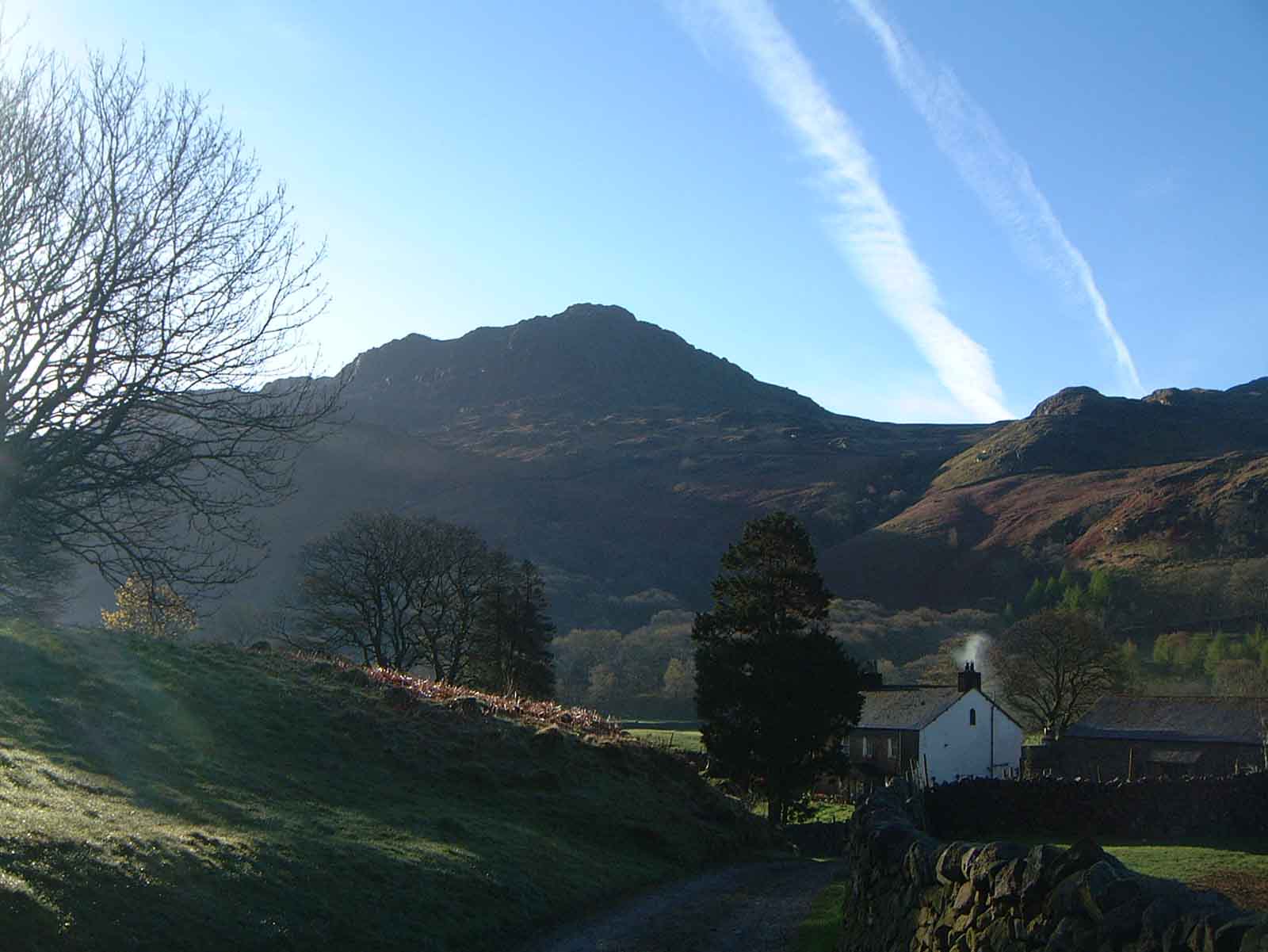
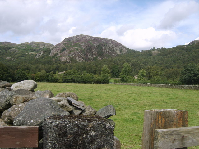
Harter Fell is a prominent hill located in the western part of the Lake District National Park in Cumberland, England. Standing at an elevation of 653 meters (2,142 feet), it is classified as both a hill and a mountain, offering visitors stunning panoramic views and a challenging hike.
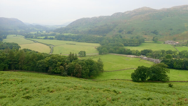
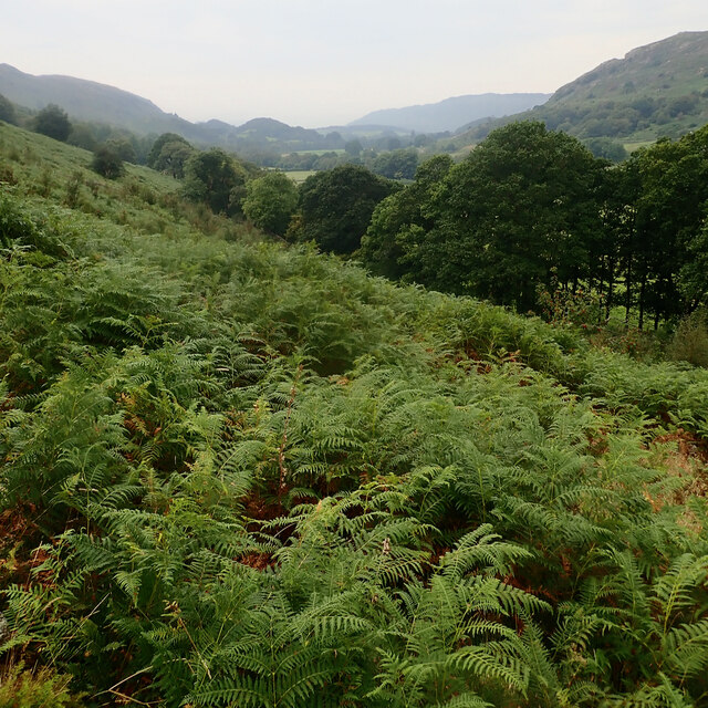
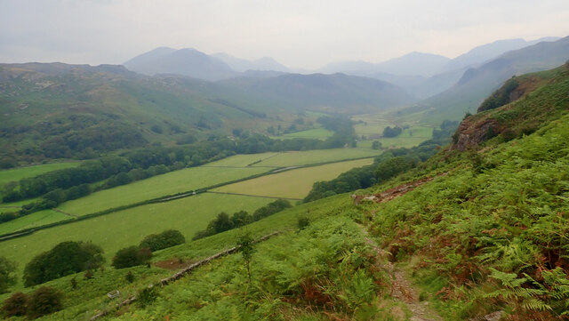
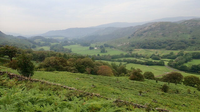
Situated near the village of Eskdale Green, Harter Fell is a popular destination for outdoor enthusiasts and hikers. The hill is characterized by its steep slopes, rocky outcrops, and rugged terrain, making it a more strenuous climb than some of its neighboring peaks.
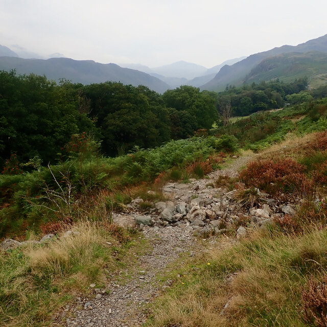
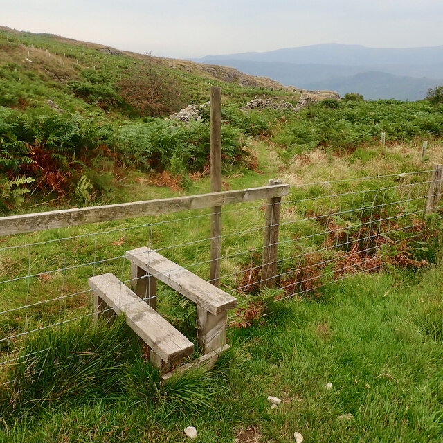
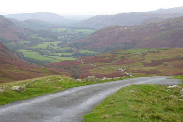
The ascent to Harter Fell begins from the hamlet of Boot, where a well-marked footpath guides visitors through picturesque valleys and woodlands. As hikers make their way up, they are rewarded with breathtaking vistas of the surrounding fells, including the Scafell range and the Irish Sea in the distance.
At the summit, hikers are treated to a sense of accomplishment as they take in the panoramic views that stretch across the Eskdale Valley and its surrounding peaks. On a clear day, it is even possible to see as far as the Isle of Man.
Due to its remote location, Harter Fell offers a serene and tranquil hiking experience away from the more crowded tourist areas in the Lake District. It is an ideal destination for those seeking solitude and a challenging adventure amidst the stunning natural beauty of the region.
If you have any feedback on the listing, please let us know in the comments section below.
Harter Fell Images
Images are sourced within 2km of 54.386921/-3.204529 or Grid Reference SD2199. Thanks to Geograph Open Source API. All images are credited.


Harter Fell is located at Grid Ref: SD2199 (Lat: 54.386921, Lng: -3.204529)
Administrative County: Cumbria
District: Copeland
Police Authority: Cumbria
What 3 Words
///dumps.motel.stun. Near Ambleside, Cumbria
Nearby Locations
Related Wikis
Harter Fell (Eskdale)
Harter Fell is a fell in the western part of the English Lake District, located between the Eskdale and Duddon valleys. Its height is 653 metres (2,142...

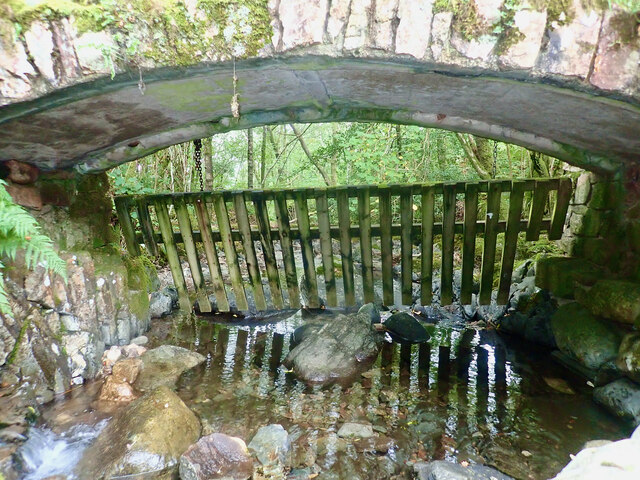
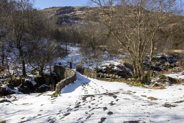
Birks Bridge
Birks Bridge is a traditional stone-built bridge over the River Duddon in the English Lake District, in Dunnerdale-with-Seathwaite, Cumbria, standing...

Hardknott Roman Fort
Hardknott Roman Fort is an archeological site, the remains of the Roman fort Mediobogdum, located on the western side of the Hardknott Pass in the English...

Hardknott Pass
Hardknott Pass is a hill pass between Eskdale and the Duddon Valley in the Lake District National Park, Cumbria, England. The tarmac-surfaced road, which...

Green Crag
Green Crag is a fell in the English Lake District. It stands between Eskdale and the Duddon valley in the Southern Fells. == Topography == The headwaters...

Hard Knott
Hard Knott is a fell in the English Lake District, at the head of Eskdale. == Geology == Rhyolitic lava-like tuff of the Bad Step Tuff forms the summit...
Wallowbarrow Crag
Wallowbarrow Crag is a hill of 292 metres (958 ft) in the Lake District, England. It is on the west of the Duddon Valley, across the valley from the village...
Woolpack walk
The Woolpack Walk is a challenge walk which starts and finishes at the Woolpack Inn, Eskdale in the Lake District of England. The route covers 30 km (18...
Nearby Amenities
Located within 500m of 54.386921,-3.204529Have you been to Harter Fell?
Leave your review of Harter Fell below (or comments, questions and feedback).