Harbour Hill
Hill, Mountain in Midlothian
Scotland
Harbour Hill
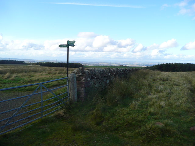
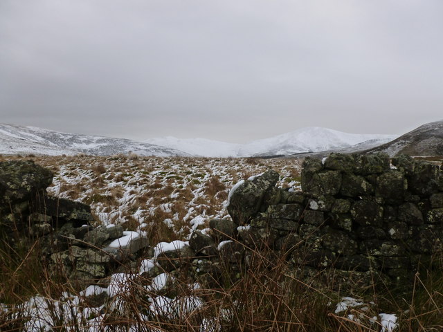
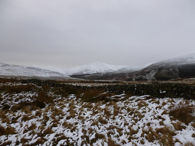
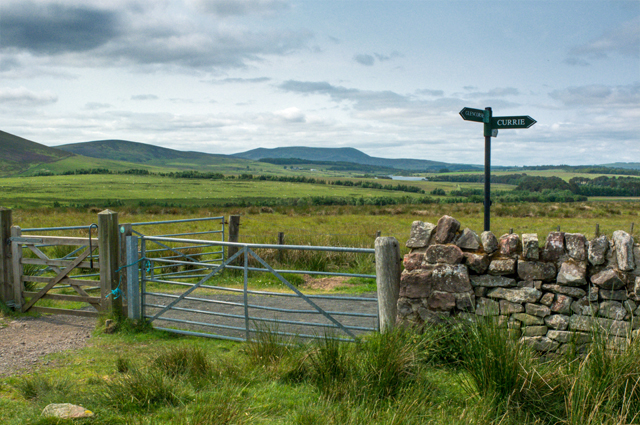
Harbour Hill, located in Midlothian, is a prominent hill and mountainous area situated in the southern part of Scotland. It forms part of the picturesque Pentland Hills range, which stretches for approximately 20 miles across the region. Rising to an elevation of 572 meters (1,877 feet), Harbour Hill offers breathtaking panoramic views of the surrounding landscapes, including the city of Edinburgh, the Firth of Forth, and the Scottish Borders.
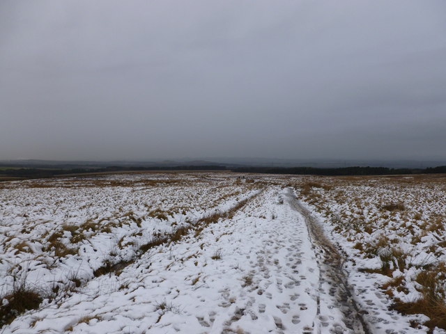
The hill is known for its rugged terrain, characterized by steep slopes, rocky outcrops, and heather-covered moorland. It attracts outdoor enthusiasts, hikers, and nature lovers who are drawn to its challenging trails and stunning vistas. The paths that wind their way up the hill are well-maintained, providing access to its summit for visitors of all fitness levels.
Wildlife is abundant in the area, with various species of birds, mammals, and plant life calling Harbour Hill their home. Visitors may encounter red deer, mountain hares, and the elusive Scottish wildcat, among other creatures. The diverse flora includes purple heather, wild thyme, and bog cotton, creating a vibrant and colorful landscape during the summer months.
Harbour Hill is not only cherished for its natural beauty but also for its historical significance. It has been inhabited for thousands of years, with remnants of ancient settlements and burial sites scattered throughout the area. These archaeological finds provide a glimpse into the rich cultural heritage of the region.
Overall, Harbour Hill in Midlothian offers a captivating blend of natural splendor, challenging terrain, and historical intrigue that continues to captivate locals and tourists alike.
If you have any feedback on the listing, please let us know in the comments section below.
Harbour Hill Images
Images are sourced within 2km of 55.87486/-3.2687629 or Grid Reference NT2065. Thanks to Geograph Open Source API. All images are credited.
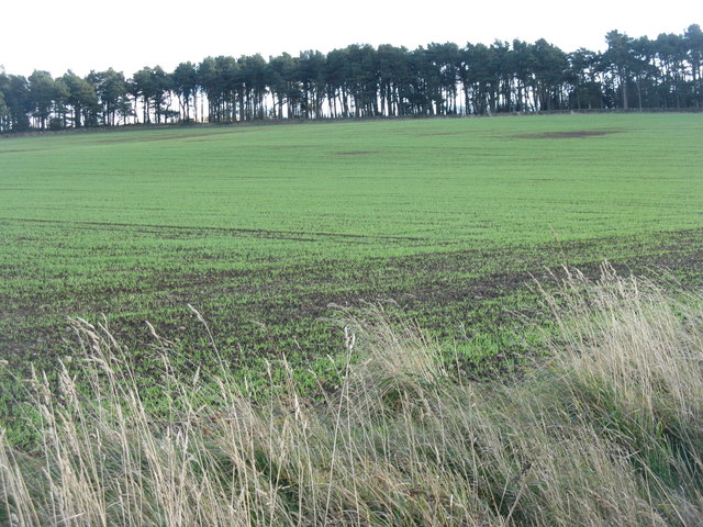


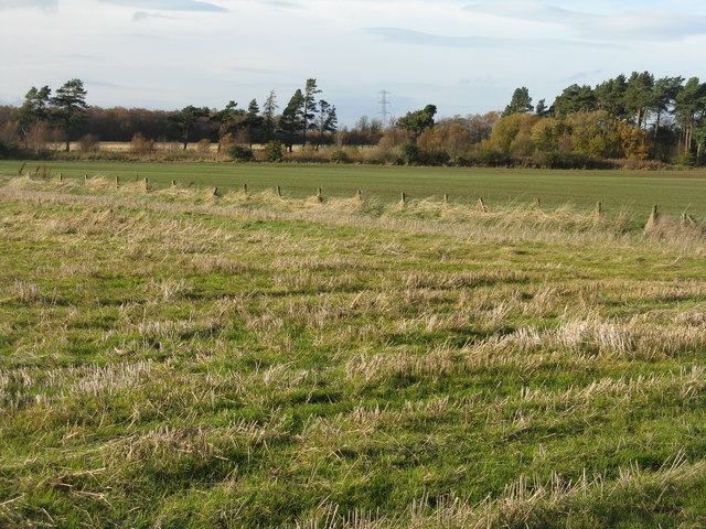
![Winter wheat in the Pentland Hills A recently sown field where once there would only have been rough pasture. New cultivars allow winter cereals to be grown in quite severe conditions. This crop is not yet germinating, and there is evidence of erosion from rain run-off in the foreground. The long low hills in the distance are West and East Cairn Hills [10km to the southwest], the one on the left is Hare Hill, much nearer at 4km.](https://s0.geograph.org.uk/geophotos/02/67/63/2676348_944a7245.jpg)

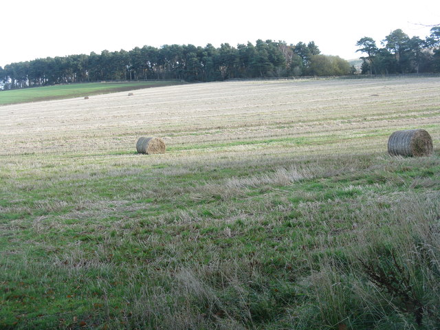
![November poppy in the barley stubble A Field Poppy [Papaver rhoeas] at Kinleith above Currie, in the foothills of the Pentlands.](https://s1.geograph.org.uk/geophotos/02/67/64/2676461_94a2f9f9.jpg)
Harbour Hill is located at Grid Ref: NT2065 (Lat: 55.87486, Lng: -3.2687629)
Unitary Authority: Midlothian
Police Authority: The Lothians and Scottish Borders
What 3 Words
///myself.flattered.nurtures. Near Currie, Edinburgh
Nearby Locations
Related Wikis

Glencorse Reservoir
Glencorse Reservoir is a reservoir in Midlothian, Scotland, two miles west of Glencorse, in the Pentland Hills. It is retained by an earth dam, and it...

Bonaly
Bonaly () is an area on the south-western outskirts of Edinburgh and the northern slopes of the Pentland Hills, lying within the Parish of Colinton. It...

Castle Law
Castle Law is a hill south west of Fairmilehead in the Pentland Hills in Midlothian, Scotland. It is best known for the Iron Age hill fort on its slopes...
Torphin
Torphin ( tor-FIN) is a small area in the south-west of Edinburgh, Scotland, with its name deriving from the nearby Torphin Hill. It lies just south of...
Nearby Amenities
Located within 500m of 55.87486,-3.2687629Have you been to Harbour Hill?
Leave your review of Harbour Hill below (or comments, questions and feedback).