Ard Crags

Hill, Mountain in Cumberland Allerdale

England

Ard Crags

Force Crag Mine, Coledale At the head of Coledale is the Scheduled ancient Monument that is the Force Crag Mine processing plant. The mine variously mined silver, lead and barytes, closing in 1990 and passing into the care of the National Trust. In 2023 there were three open days at the processing plant but this wasn't one of them. The walk in is approximately 4 kilometres.
Force Crag Mine, Coledale Credit: Chris Allen

Ard Crags is a prominent hill located in the Lake District National Park, in Cumberland, England. Rising to an elevation of 581 meters (1,906 feet), it is categorized as a Wainwright Fell, named after the famous British fellwalker and author, Alfred Wainwright. Ard Crags is situated in the northwestern part of the Lake District, near the town of Keswick.

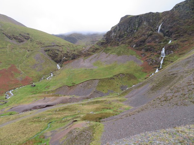
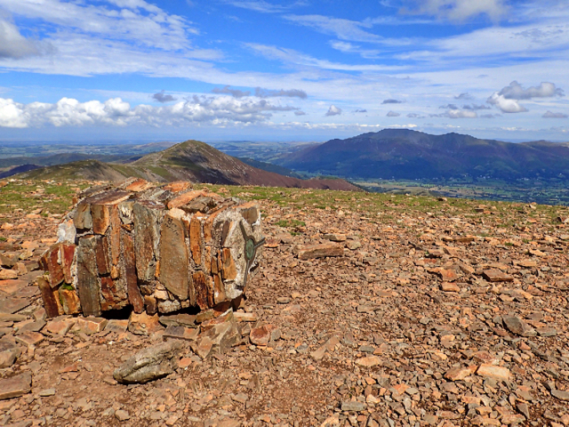
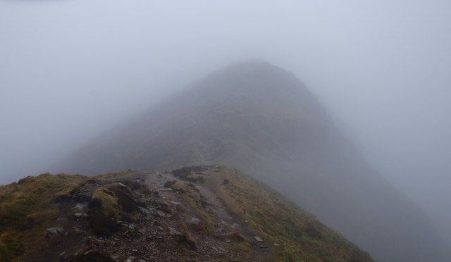
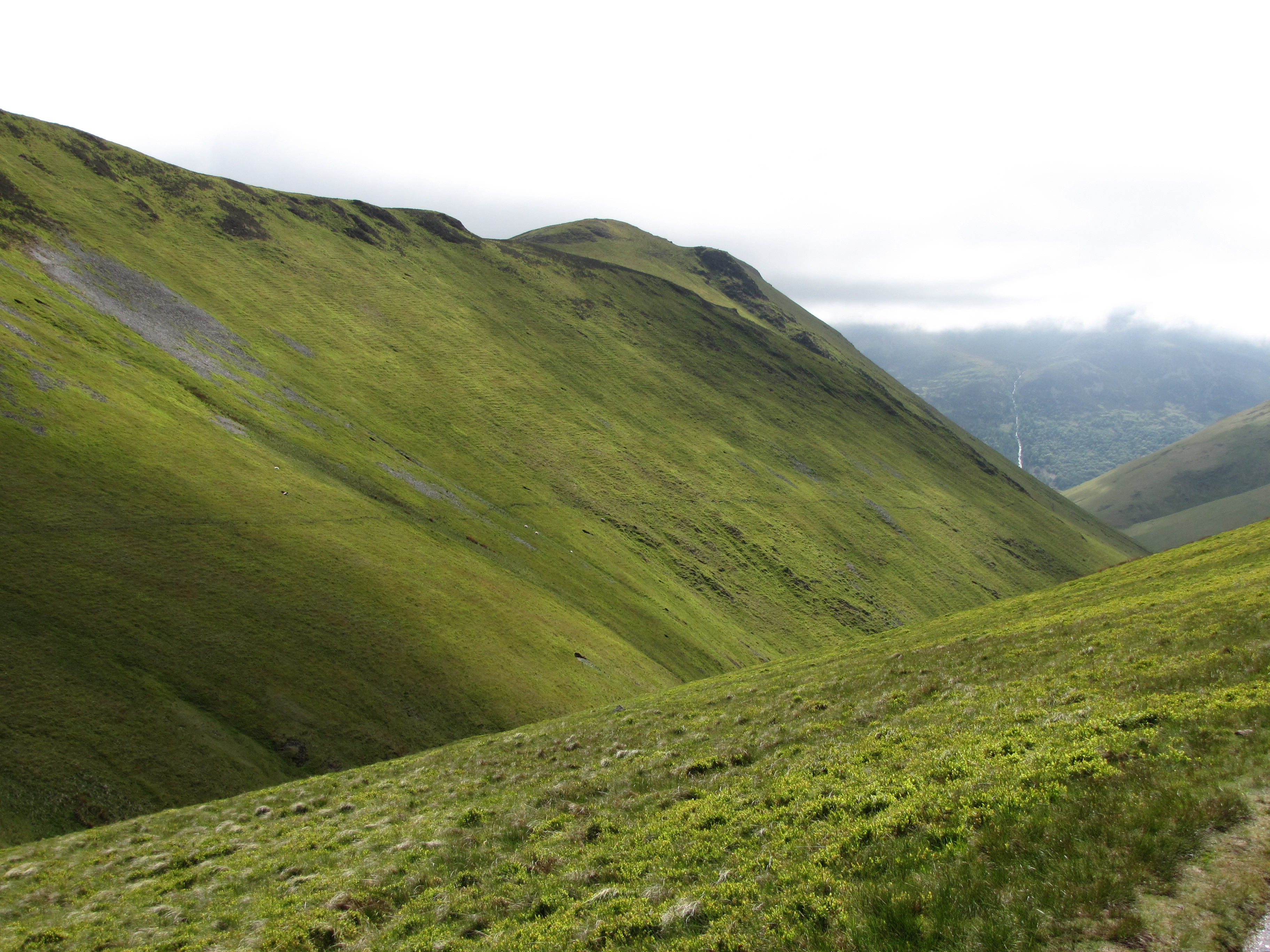
The hill is known for its distinctive shape and breathtaking views of the surrounding landscape. It forms part of a ridge that includes other notable fells such as Scar Crags and Sail. The summit of Ard Crags offers panoramic vistas that encompass the nearby Derwentwater, the Skiddaw range to the north, and the Grasmoor and Grisedale Pike mountains to the west.

Ard Crags is a popular destination for hikers and outdoor enthusiasts due to its accessibility and stunning scenery. There are several well-marked trails that lead to the summit, with the most common route starting from Newlands Hause. The ascent is relatively straightforward, but can be steep in places, requiring a moderate level of fitness.

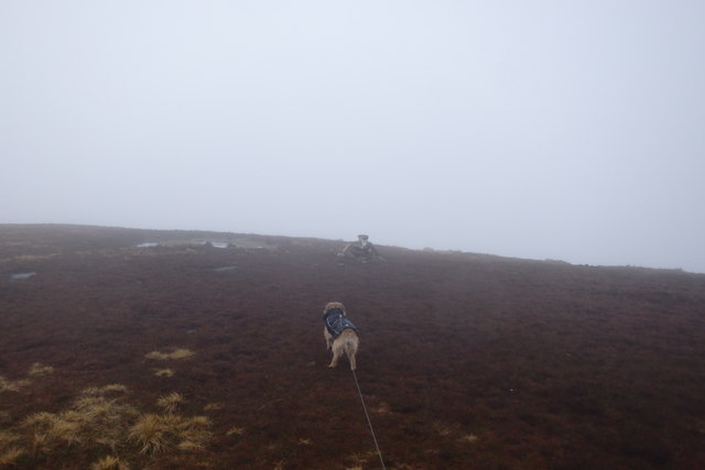
The hill is characterized by its rocky terrain and heather-covered slopes, providing a picturesque backdrop for walkers. Wildlife is abundant in the area, with the potential to spot various bird species, including ravens and birds of prey, as well as deer and other mammals.

Overall, Ard Crags offers a rewarding and enjoyable experience for those seeking to explore the natural beauty of the Lake District.

If you have any feedback on the listing, please let us know in the comments section below.
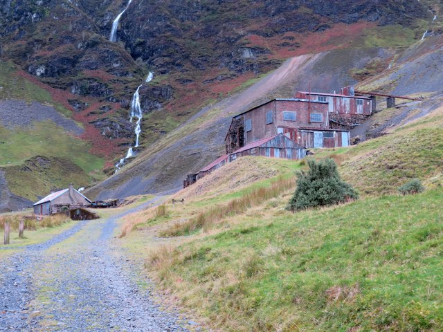
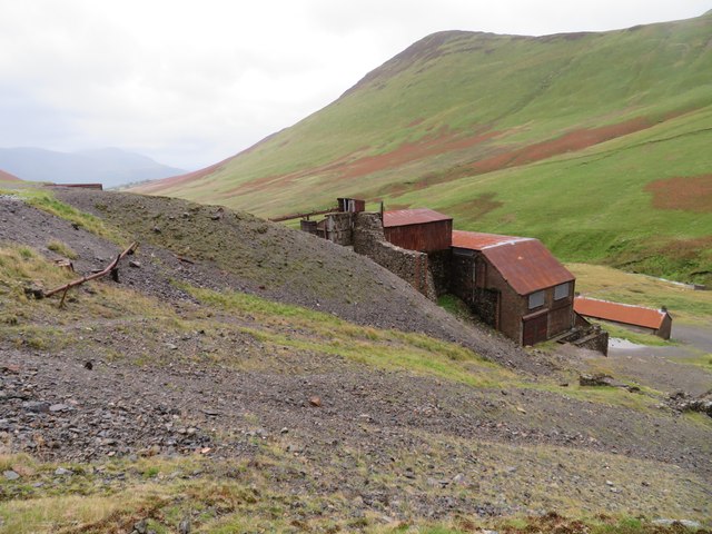
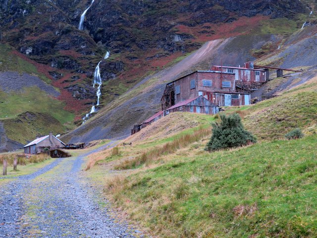
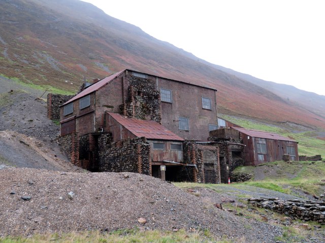
Ard Crags Images

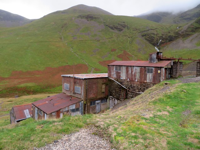
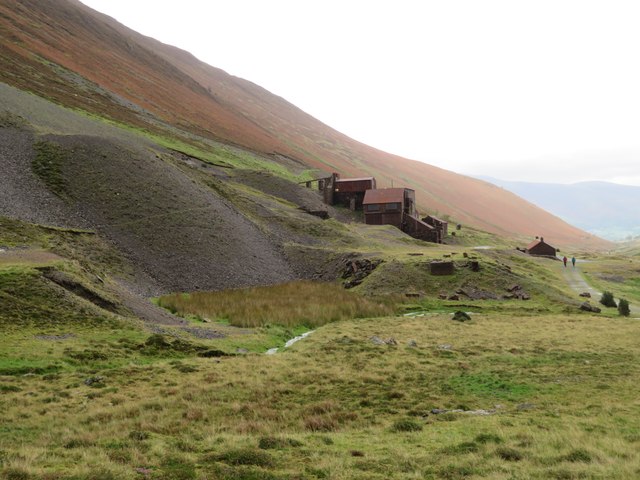
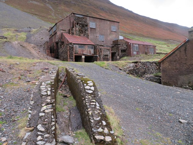
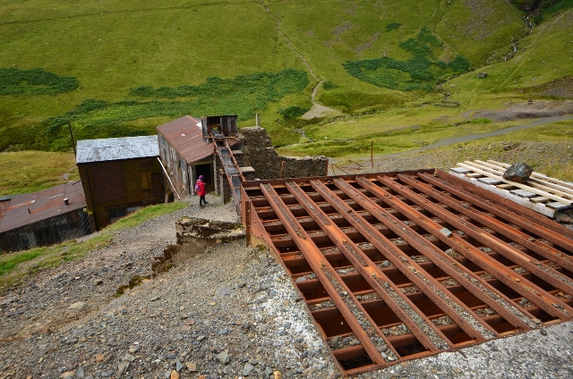
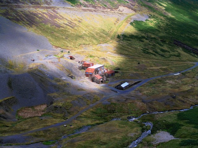
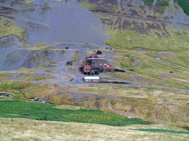
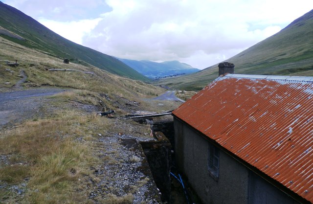
Images are sourced within 2km of 54.566948/-3.2280679 or Grid Reference NY2019. Thanks to Geograph Open Source API. All images are credited.

Force Crag Mine, Coledale At the head of Coledale is the Scheduled ancient Monument that is the Force Crag Mine processing plant. The mine variously mined silver, lead and barytes, closing in 1990 and passing into the care of the National Trust. In 2023 there were three open days at the processing plant but this wasn't one of them. The walk in is approximately 4 kilometres.
Force Crag Mine, Coledale
At the head of Coledale is the Scheduled ancient Monument that is the Force Crag Mine processing plant. The mine variously mined silver, lead and barytes, closing in 1990 and passing into the care of the National Trust. In 2023 there were three open days at the processing plant but this wasn't one of them. The walk in is approximately 4 kilometres.
Force Crag Mine, Coledale At the head of Coledale is the Scheduled Ancient Monument that is the Force Crag Mine processing plant. The mine variously mined silver, lead and barytes, closing in 1990 and passing into the care of the National Trust. In 2023 there were three open days at the processing plant but this wasn't one of them. The walk in is approximately 4 kilometres.
Force Crag Mine, Coledale
At the head of Coledale is the Scheduled Ancient Monument that is the Force Crag Mine processing plant. The mine variously mined silver, lead and barytes, closing in 1990 and passing into the care of the National Trust. In 2023 there were three open days at the processing plant but this wasn't one of them. The walk in is approximately 4 kilometres.
Force Crag Mine, Coledale - processing plant At the head of Coledale is the Scheduled Ancient Monument that is the Force Crag Mine processing plant. The mine variously mined silver, lead and barytes, closing in 1990 and passing into the care of the National Trust. In 2023 there were three open days at the processing plant but this wasn't one of them. The walk in is approximately 4 kilometres.
Force Crag Mine, Coledale - processing plant
At the head of Coledale is the Scheduled Ancient Monument that is the Force Crag Mine processing plant. The mine variously mined silver, lead and barytes, closing in 1990 and passing into the care of the National Trust. In 2023 there were three open days at the processing plant but this wasn't one of them. The walk in is approximately 4 kilometres.
Force Crag Mine, Coledale At the head of Coledale is the Scheduled Ancient Monument that is the Force Crag Mine processing plant. The mine variously mined silver, lead and barytes, closing in 1990 and passing into the care of the National Trust. In 2023 there were three open days at the processing plant but this wasn't one of them. The walk in is approximately 4 kilometres.
Force Crag Mine, Coledale
At the head of Coledale is the Scheduled Ancient Monument that is the Force Crag Mine processing plant. The mine variously mined silver, lead and barytes, closing in 1990 and passing into the care of the National Trust. In 2023 there were three open days at the processing plant but this wasn't one of them. The walk in is approximately 4 kilometres.
The head of Coledale from Force Crag Mine The positions are approximations.
The head of Coledale from Force Crag Mine
The positions are approximations.
Force Crag Mine, Coledale At the head of Coledale is the Scheduled Ancient Monument that is the Force Crag Mine processing plant. The mine variously mined silver, lead and barytes, closing in 1990 and passing into the care of the National Trust. In 2023 there were three open days at the processing plant but this wasn't one of them. The walk in is approximately 4 kilometres.
Force Crag Mine, Coledale
At the head of Coledale is the Scheduled Ancient Monument that is the Force Crag Mine processing plant. The mine variously mined silver, lead and barytes, closing in 1990 and passing into the care of the National Trust. In 2023 there were three open days at the processing plant but this wasn't one of them. The walk in is approximately 4 kilometres.
Force Crag Mine - Grizzly Ore was trammed to the grizzly before being processed.
Force Crag Mine - Grizzly
Ore was trammed to the grizzly before being processed.
Force Crag Mine - Processing Mill Ball mill to the right.
Force Crag Mine - Processing Mill
Ball mill to the right.
Force Crag Mine - Denver vertical disc filter Rotating discs connected to a vaccum pump. Removed fine concentrate ready for sale.
Force Crag Mine - Denver vertical disc filter
Rotating discs connected to a vaccum pump. Removed fine concentrate ready for sale.
Force Cragg Mine buildings The mine is up a long track west of Keswick.
Force Cragg Mine buildings
The mine is up a long track west of Keswick.
Crag Hill Trig Point There’s always been a sense of permanence about Ordnance Survey triangulation points. Man-made clutter on the hills yet viewed upon with some affection. They’ve been immortalised in the drawings of Wainwright and in countless photographs that prove that folks have bagged the summit. So it’s sad when a trig point is no more. And a reminder that they too are subject to the same natural forces as the rest of our fells. 

Crag Fell is a 839m peak, not quite the highest point of the Coledale Fells, Grasmoor is a few metres higher but it commands the head of the very straight Coledale Beck making it visible from Braithwaite village and giving clear views of the Skiddaw fells.

The Ordnance Survey surveyors built this trig point from pieces of the flat rock that litter the summit around a 3″ steel pipe. They would only have had to carry up bags of sand and cement. And water too of course for the summit is dry. Although the pipe shows rusting which must have weakened it must have taken some force to actually topple the pillar. More so you would think an Atlantic gale could inflict. Perhaps man had some hand in its destruction which makes it even more sad that mindless vandalism should reach this far into the hills.
Crag Hill Trig Point
There’s always been a sense of permanence about Ordnance Survey triangulation points. Man-made clutter on the hills yet viewed upon with some affection. They’ve been immortalised in the drawings of Wainwright and in countless photographs that prove that folks have bagged the summit. So it’s sad when a trig point is no more. And a reminder that they too are subject to the same natural forces as the rest of our fells. Crag Fell is a 839m peak, not quite the highest point of the Coledale Fells, Grasmoor is a few metres higher but it commands the head of the very straight Coledale Beck making it visible from Braithwaite village and giving clear views of the Skiddaw fells. The Ordnance Survey surveyors built this trig point from pieces of the flat rock that litter the summit around a 3″ steel pipe. They would only have had to carry up bags of sand and cement. And water too of course for the summit is dry. Although the pipe shows rusting which must have weakened it must have taken some force to actually topple the pillar. More so you would think an Atlantic gale could inflict. Perhaps man had some hand in its destruction which makes it even more sad that mindless vandalism should reach this far into the hills.
Approaching Sail Summit Another misty day on the fells
Approaching Sail Summit
Another misty day on the fells
Approaching The Scar Wind gusting but no ice to negotiate on The Scar
Approaching The Scar
Wind gusting but no ice to negotiate on The Scar
Force Crag Mine
Force Crag Mine
Force Crag Mine
Force Crag Mine
At Force Crag Mine
At Force Crag Mine
Show me another place!

Ard Crags is located at Grid Ref: NY2019 (Lat: 54.566948, Lng: -3.2280679)

Administrative County: Cumbria

District: Allerdale

Police Authority: Cumbria

What 3 Words

///conforms.horn.castle. Near Keswick, Cumbria

Nearby Locations

Lll Gill Ard Crags

Related Wikis

Ard Crags

Ard Crags is a fell in the Lake District in Cumbria, England, it is situated in the Newlands Valley just off the minor road between Keswick and Buttermere...

Scar Crags

Scar Crags is a fell in the north western part of the English Lake District in the county of Cumbria. It is one of the Coledale group of fells situated...

Sail (Lake District)

Sail is a hill in the English Lake District, lying between Derwentwater and Crummock Water. == Topography == The North Western Fells occupy the area between...

Knott Rigg

Knott Rigg is a fell at the head of the Newlands Valley in the English Lake District. It is situated some 8+1⁄2 kilometres (5+1⁄4 mi) south west of Keswick...

Nearby Amenities

Located within 500m of 54.566948,-3.2280679
Ard Crags
Ele: 581
Natural: peak
Wikidata: Q4787758
Wikipedia: en:Ard Crags
Lat/Long: 54.5669692/-3.2281764
Ford: yes
Lat/Long: 54.5689815/-3.2330271
The data included in this document is from www.openstreetmap.org. The data is made available under ODbL.

Have you been to Ard Crags?

Leave your review of Ard Crags below (or comments, questions and feedback).