Corstorphine Hill

Hill, Mountain in Midlothian

Scotland

Corstorphine Hill

Building speed humps, Corstorphine. Edinburgh is home to a lot of speed humps, and they are multiplying. While proven effective in lowering speeds in residential areas, they are a pain when out on the bike. Some studies suggest that road humps are the only effective way of enforcing a 20mph/30kph speed limit.  Residential area just off the busy main shopping street of Corstorphine.
Building speed humps, Corstorphine. Credit: Richard Webb

Corstorphine Hill is a prominent hill located in the city of Edinburgh, Scotland. It is situated in the Corstorphine area, which lies to the west of the city center. Although often referred to as Corstorphine Hill, it is officially recognized as a mountain due to its height, reaching an elevation of 162 meters (531 feet) above sea level.

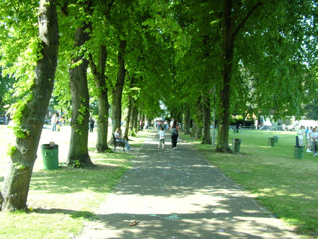
The hill is a popular recreational spot for both locals and tourists, offering stunning panoramic views of the surrounding landscape. It is covered by mixed woodland, consisting of a variety of tree species such as oak, beech, and silver birch. The well-maintained paths and trails provide opportunities for walking, jogging, and cycling, making it a favorite destination for outdoor enthusiasts.

Corstorphine Hill is also home to several notable landmarks. At the summit, the iconic Corstorphine Hill Tower stands tall, offering visitors a vantage point to admire the breathtaking vistas of Edinburgh's skyline. The tower was built in 1871 and is a prominent feature of the hill. Additionally, the hill is home to the Corstorphine Hill Local Nature Reserve, which encompasses a diverse range of habitats, including grassland, woodland, and ponds. These habitats support a wide array of flora and fauna, making it a haven for wildlife.

Access to Corstorphine Hill is convenient, with several entrances and parking areas available. Public transportation options are also easily accessible, allowing visitors to reach the hill with ease. Whether it is for a leisurely stroll, a peaceful picnic, or a challenging hike, Corstorphine Hill offers a tranquil escape from the bustling city, showcasing the natural beauty and charm of the Scottish landscape.

If you have any feedback on the listing, please let us know in the comments section below.

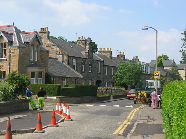
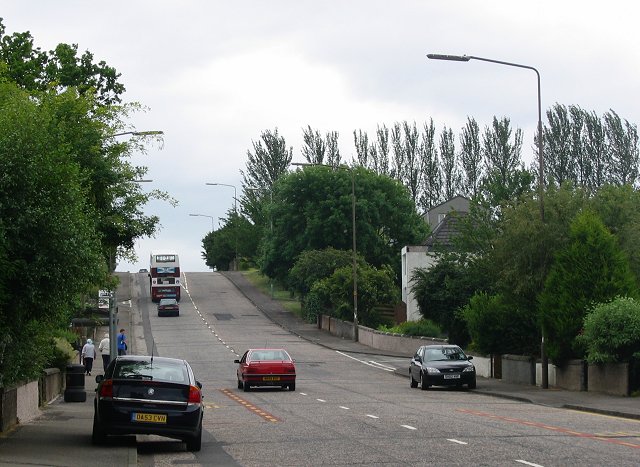
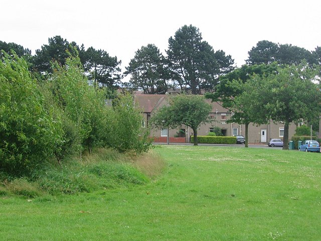
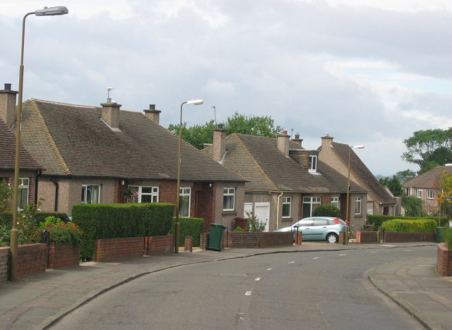
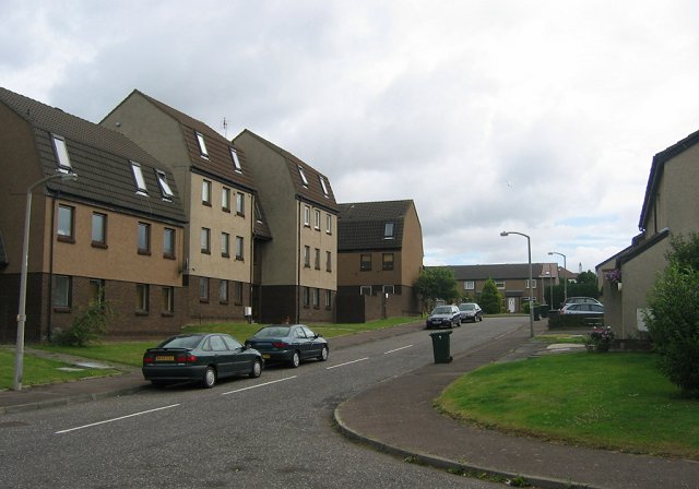
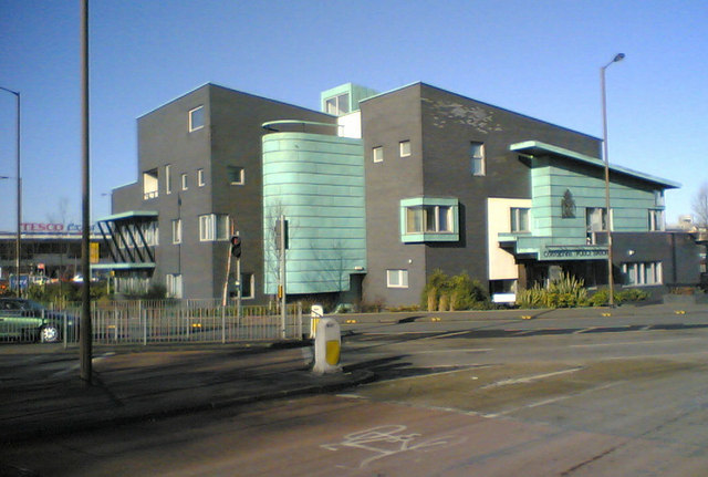
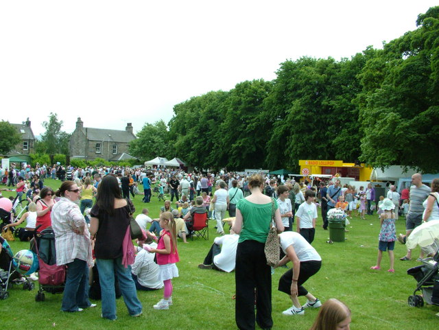
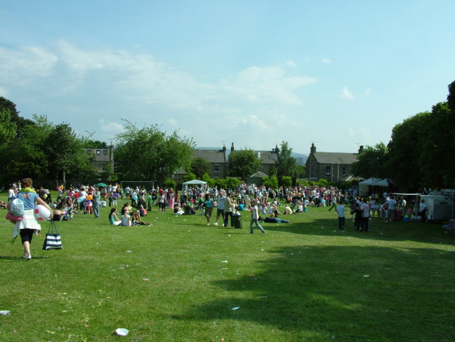
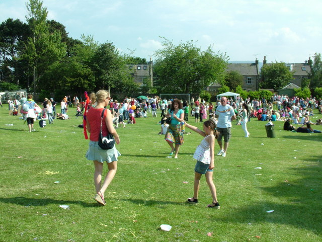
Corstorphine Hill Images

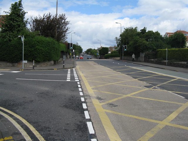
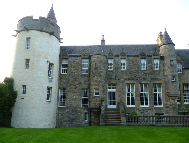
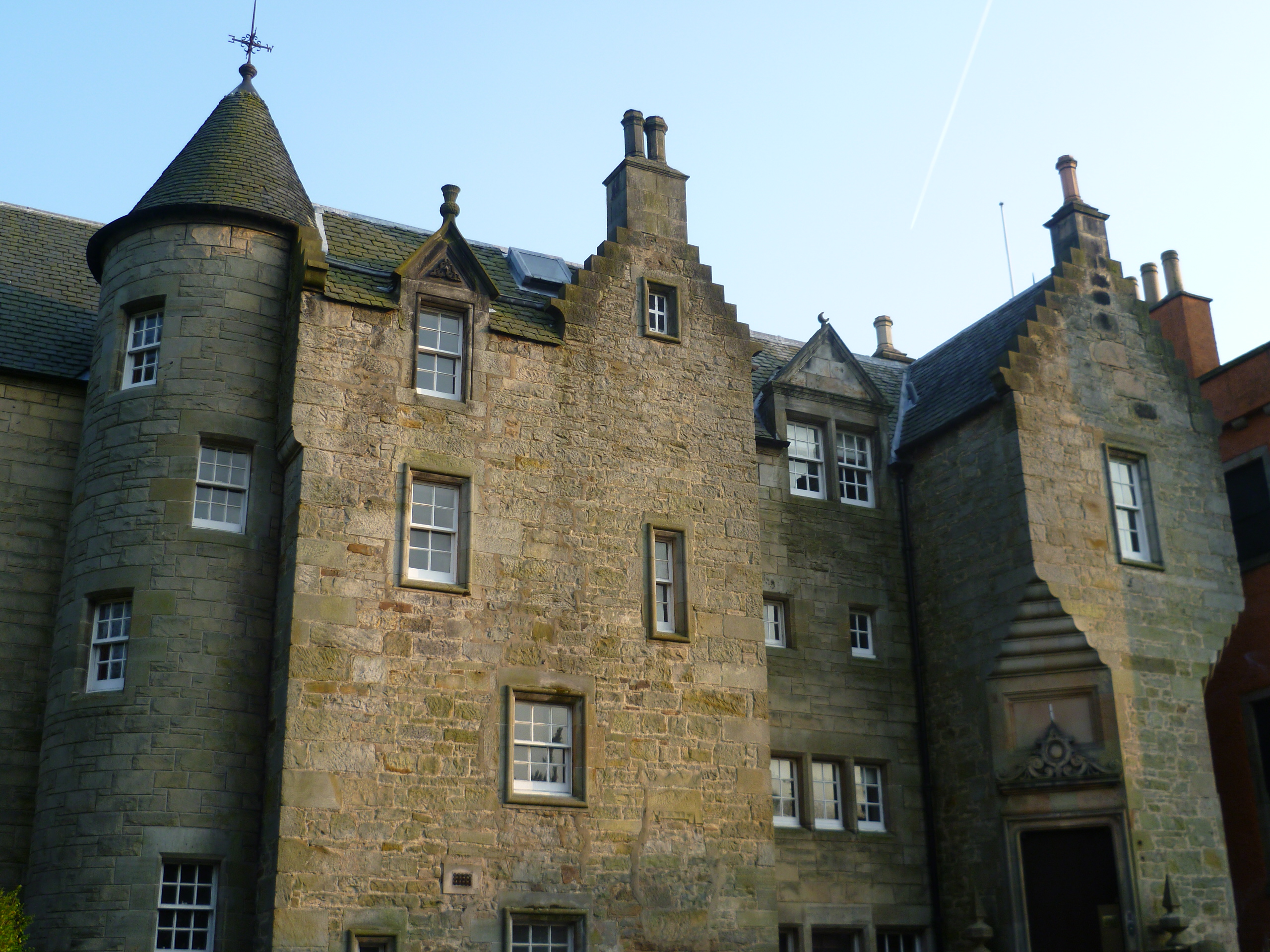
Images are sourced within 2km of 55.953648/-3.2737577 or Grid Reference NT2074. Thanks to Geograph Open Source API. All images are credited.

Building speed humps, Corstorphine. Edinburgh is home to a lot of speed humps, and they are multiplying. While proven effective in lowering speeds in residential areas, they are a pain when out on the bike. Some studies suggest that road humps are the only effective way of enforcing a 20mph/30kph speed limit.  Residential area just off the busy main shopping street of Corstorphine.
Building speed humps, Corstorphine.
Edinburgh is home to a lot of speed humps, and they are multiplying. While proven effective in lowering speeds in residential areas, they are a pain when out on the bike. Some studies suggest that road humps are the only effective way of enforcing a 20mph/30kph speed limit. Residential area just off the busy main shopping street of Corstorphine.
Drum Brae. Small but notorious hill in the suburbs of West Edinburgh. A busy road, it's fine most of the time; it's a tricky thing in ice or snow.
Drum Brae.
Small but notorious hill in the suburbs of West Edinburgh. A busy road, it's fine most of the time; it's a tricky thing in ice or snow.
Clermiston Large 20th century housing area on the west side of Corstorphine Hill.  The once vare open area in the middle of the estate has been broken up by some tree planting.
Clermiston
Large 20th century housing area on the west side of Corstorphine Hill. The once vare open area in the middle of the estate has been broken up by some tree planting.
Bungaloid Corstorphine. This is the dominant house type in this almost entirely residential square. Sloping ground above Corstorphine.
Bungaloid Corstorphine.
This is the dominant house type in this almost entirely residential square. Sloping ground above Corstorphine.
East Craigs Large 1970's westward expansion of Edinburgh.
East Craigs
Large 1970's westward expansion of Edinburgh.
Corstorphine Police Station Maybe it's supposed to look horrible and imposing.  Good grief, they've done a good job.  The whole lot looks a little hastily constructed. The materials don't look like they are all from the same batch. The green facings appear to be rusting in parts.  Heck, it's only been up a couple of years.  Not a pretty building at all but I dare say it wasn't designed with a prize in mind.  Aerial - <span class="nowrap"><a title="http://maps.google.co.uk/?t=h&ll=55.93965,-3.2935&spn=0.002788,0.007124&t=h" rel="nofollow ugc noopener" href="http://maps.google.co.uk/?t=h&ll=55.93965,-3.2935&spn=0.002788,0.007124&t=h">Link</a><img style="margin-left:2px;" alt="External link" title="External link - shift click to open in new window" src="https://s1.geograph.org.uk/img/external.png" width="10" height="10"/></span>
Corstorphine Police Station
Maybe it's supposed to look horrible and imposing. Good grief, they've done a good job. The whole lot looks a little hastily constructed. The materials don't look like they are all from the same batch. The green facings appear to be rusting in parts. Heck, it's only been up a couple of years. Not a pretty building at all but I dare say it wasn't designed with a prize in mind. Aerial - LinkExternal link
Computer Superstore and car park
Barnton Avenue Looking west down Barnton Avenue, a street bordered by large houses.
This is a cul-de-sac for cars but cyclists may continue through to Barnton Avenue West following NCN 1.
Barnton Avenue
Looking west down Barnton Avenue, a street bordered by large houses. This is a cul-de-sac for cars but cyclists may continue through to Barnton Avenue West following NCN 1.
Royal Burgess golf course The hill in the distance is a popular spot for sledging on the few occasions that snow falls these days.
Royal Burgess golf course
The hill in the distance is a popular spot for sledging on the few occasions that snow falls these days.
Frosty leaves Sycamore, beech and oak leaves at the end of Barnton Avenue.
Frosty leaves
Sycamore, beech and oak leaves at the end of Barnton Avenue.
St Margaret’s Park Corstorphine Fair in full swing. The silly string is all over the path.
St Margaret’s Park
Corstorphine Fair in full swing. The silly string is all over the path.
St Margaret’s Park The busiest part of the park in the beer garden.
St Margaret’s Park
The busiest part of the park in the beer garden.
St Margaret’s Park When the fair died down the clean up began
St Margaret’s Park
When the fair died down the clean up began
St Margaret’s Park Looking towards the beer garden. The girl is about to spray silly string
St Margaret’s Park
Looking towards the beer garden. The girl is about to spray silly string
St John's Road, Corstorphine Looking towards Edinburgh city centre from the Drum Brae/Glasgow Road roundabout.
St John's Road, Corstorphine
Looking towards Edinburgh city centre from the Drum Brae/Glasgow Road roundabout.
Craigs Road looking westwards Part of the western Edinburgh bungalow belt.
Craigs Road looking westwards
Part of the western Edinburgh bungalow belt.
Drum Brae Road South One of Edinburgh's main subsidiary roads, the B701, at its junction with Craigs Road
Drum Brae Road South
One of Edinburgh's main subsidiary roads, the B701, at its junction with Craigs Road
Drum Brae Drive looking towards Corstorphine Hill
Show me another place!

Corstorphine Hill is located at Grid Ref: NT2074 (Lat: 55.953648, Lng: -3.2737577)

Unitary Authority: City of Edinburgh

Police Authority: Edinburgh

What 3 Words

///meant.pumps.fire. Near Edinburgh

Nearby Locations

Corstorphine Hill

Related Wikis

Corstorphine Hill

Corstorphine Hill is a low ridge-shaped hill rising above the western suburbs of Edinburgh, Scotland. Although there has been residential and commercial...

Craigcrook Castle

Craigcrook Castle is a 6,701 square feet (622.5 m2) castle giving its name to the Craigcrook district of Edinburgh, about 3 miles (4.8 km) west of the...

Craigcrook

Craigcrook is a suburb of Edinburgh, Scotland, best known for Craigcrook Castle. It is fairly affluent, and lies on the north east slopes of Corstorphine...

Barnton Quarry

Barnton Quarry is a disused stone quarry in Corstorphine Hill, Clermiston, Edinburgh, Scotland. The site was later used as a military command centre, and...

Nearby Amenities

Located within 500m of 55.953648,-3.2737577
Corstorphine Hill
Ele: 162
Natural: peak
Source: npe
Wikidata: Q5173199
Wikipedia: en:Corstorphine Hill
Lat/Long: 55.9509457/-3.2714871
Mini Roundabout
Direction: clockwise
Lat/Long: 55.951495/-3.2786972
Traffic Calming: cushion
Lat/Long: 55.9541975/-3.2791094
Crossing
Lat/Long: 55.9517423/-3.2784076
Tourism: viewpoint
Lat/Long: 55.9544518/-3.2745497
National Air Traffic Services Radio Transmitter Site
Man Made: tower
Tower Construction: lattice
Tower Type: communication
Lat/Long: 55.950821/-3.2728153
Barrier: bollard
Bicycle: yes
Car: no
Foot: yes
Motor Vehicle: no
Lat/Long: 55.9532844/-3.2815033
Bus Stop
Rannoch Road
Bin: yes
Bus: yes
Naptan AdministrativeAreaCode: 124
Naptan Area Name: Edinburgh
Naptan AtcoAreaCode: 620
Naptan AtcoCode: 6200202650
Naptan Bearing: N
Naptan CommonName: Rannoch Road
Naptan Indicator: before
Naptan Landmark: Falkland Gardens
Naptan LocalityName: Clermiston
Naptan NaptanCode: 36238286
Naptan NptgLocalityCode: N0067256
Naptan PlusbusZoneRef: EDINBUR
Naptan SourceLocalityType: Add
Naptan StopAreaCode: 620G202650
Naptan StopAreaType: GPBS
Naptan StopArea Name: CLERMISTON Rannoch Road
Naptan Street: Clermiston Road
Naptan Verified: yes
Passenger Information Display: yes
Public Transport: platform
Shelter: yes
Source: NaPTAN + Survey
Lat/Long: 55.9536726/-3.2784992
Bus Stop
Rannoch Road
Bus: yes
Naptan AdministrativeAreaCode: 124
Naptan Area Name: Edinburgh
Naptan AtcoAreaCode: 620
Naptan AtcoCode: 6200247250
Naptan Bearing: S
Naptan CommonName: Rannoch Road
Naptan Indicator: near
Naptan Landmark: Rannoch Road
Naptan LocalityName: Clermiston
Naptan NaptanCode: 36238292
Naptan NptgLocalityCode: N0067256
Naptan PlusbusZoneRef: EDINBUR
Naptan SourceLocalityType: Add
Naptan StopAreaCode: 620G202650
Naptan StopAreaType: GPBS
Naptan StopArea Name: CLERMISTON Rannoch Road
Naptan Street: Clermiston Road
Naptan Verified: yes
Public Transport: platform
Source: NaPTAN + Survey
Lat/Long: 55.9545013/-3.2783023
Give Way
Lat/Long: 55.9572854/-3.2709819
Entrance: yes
Lat/Long: 55.9509907/-3.2723828
Parking
Access: private
Lat/Long: 55.950338/-3.2726676
Historic: ruins
Lat/Long: 55.9508857/-3.2715302
Answer: B
Marker: post
Orienteering: marker
Ref: 20
Sport: orienteering
Lat/Long: 55.9508412/-3.2715122
Bench
Lat/Long: 55.9522107/-3.2715039
Bench
Lat/Long: 55.9572715/-3.2768003
Tourism: picnic_site
Lat/Long: 55.9495184/-3.2714594
Bench
Lat/Long: 55.9555972/-3.2734936
Barrier: bollard
Lat/Long: 55.9573521/-3.2697309
Crossing
Crossing: unmarked
Crossing Island: no
Tactile Paving: no
Lat/Long: 55.9504845/-3.2787989
Ele: 158
Natural: peak
Lat/Long: 55.9525207/-3.2734605
Ele: 162
Natural: peak
Lat/Long: 55.9542867/-3.2739969
Barrier: bollard
Lat/Long: 55.9575312/-3.2699215
Traffic Calming: cushion
Lat/Long: 55.9539399/-3.2801229
Traffic Calming: cushion
Lat/Long: 55.9534602/-3.2809538
Traffic Calming: hump
Lat/Long: 55.9512543/-3.2797945
School
Fox Covert Primary School
Addr Postcode: EH12 8PG
Email: admin@foxcovert.edin.sch.uk
Operator: The City of Edinburgh Council
Operator Wikidata: Q28530250
Phone: +44 131 339 3749
Ref GB Uprn: 906292498
Ref Seedcode: 5524024
School: primary
Lat/Long: 55.952496/-3.2797797
School
St Andrew's Fox Covert RC Primary School
Addr Postcode: EH12 8PG
Denomination: roman_catholic
Email: admin@foxcovert-rc.edin.sch.uk
Operator: The City of Edinburgh Council
Operator Wikidata: Q28530250
Phone: +44 131 339 2383
Ref GB Uprn: 906292498
Ref Seedcode: 5524121
Religion: christian
School: primary
Lat/Long: 55.9523307/-3.2797668
Barrier: bollard
Lat/Long: 55.9573679/-3.2696846
Corstorphine Hill LNR Map Board
Hiking: yes
Information: map
Map Size: site
Tourism: information
Lat/Long: 55.9566241/-3.2720487
Give Way
Lat/Long: 55.9542352/-3.2785338
Give Way
Lat/Long: 55.955004/-3.2808995
Give Way
Lat/Long: 55.9548719/-3.2802504
Give Way
Lat/Long: 55.951469/-3.2797891
Give Way
Lat/Long: 55.9515486/-3.2804114
Traffic Calming: hump
Lat/Long: 55.9514976/-3.2805803
Traffic Calming: hump
Lat/Long: 55.9515246/-3.2792151
Addr City: Edinburgh
Addr Housenumber: 33
Addr Street: Hillpark Brae
Lat/Long: 55.9562544/-3.26893
Addr City: Edinburgh
Addr Housenumber: 2
Addr Street: Hillpark Rise
Lat/Long: 55.9568474/-3.2701076
Addr City: Edinburgh
Addr Housenumber: 3
Addr Street: Hillpark Rise
Lat/Long: 55.9567487/-3.269971
Addr City: Edinburgh
Addr Housenumber: 4
Addr Street: Hillpark Rise
Lat/Long: 55.9566389/-3.2698127
Addr City: Edinburgh
Addr Housenumber: 5
Addr Street: Hillpark Rise
Lat/Long: 55.9565045/-3.2696499
Addr City: Edinburgh
Addr Housenumber: 7
Addr Street: Hillpark Rise
Lat/Long: 55.9563051/-3.2695955
Addr City: Edinburgh
Addr Housenumber: 8
Addr Street: Hillpark Rise
Lat/Long: 55.9561338/-3.2694333
Addr City: Edinburgh
Addr Housenumber: 12
Addr Street: Hillpark Rise
Lat/Long: 55.9566522/-3.2702157
Addr City: Edinburgh
Addr Housenumber: 13
Addr Street: Hillpark Rise
Lat/Long: 55.9567497/-3.2703528
Addr City: Edinburgh
Addr Housenumber: 14
Addr Street: Hillpark Rise
Lat/Long: 55.9568524/-3.2704786
Addr City: Edinburgh
Addr Housenumber: 187
Addr Street: Clermiston Road
Lat/Long: 55.9557463/-3.2795029
Bicycle Parking
Bicycle Parking: stands
Capacity: 6
Covered: no
Lat/Long: 55.9504831/-3.2771163
Bench
Lat/Long: 55.9510279/-3.2725068
Addr City: Edinburgh
Addr Housenumber: 6
Addr Street: Falkland Gardens
Lat/Long: 55.9533584/-3.279322
Addr City: Edinburgh
Addr Housenumber: 42
Addr Street: Hillpark Grove
Lat/Long: 55.9580156/-3.2720942
Addr City: Edinburgh
Addr Housenumber: 44
Addr Street: Hillpark Grove
Lat/Long: 55.9579669/-3.27203
Addr City: Edinburgh
Addr Housenumber: 46
Addr Street: Hillpark Grove
Entrance: staircase
Lat/Long: 55.9577915/-3.2720849
Addr City: Edinburgh
Addr Housenumber: 48
Addr Street: Hillpark Grove
Entrance: staircase
Lat/Long: 55.9575634/-3.2718553
Addr City: Edinburgh
Addr Housenumber: 96
Addr Street: Hillpark Grove
Lat/Long: 55.957921/-3.271472
Addr City: Edinburgh
Addr Housenumber: 94
Addr Street: Hillpark Grove
Lat/Long: 55.9577747/-3.2714064
Addr City: Edinburgh
Addr Housenumber: 92
Addr Street: Hillpark Grove
Lat/Long: 55.9577014/-3.2713166
Addr City: Edinburgh
Addr Housenumber: 90
Addr Street: Hillpark Grove
Lat/Long: 55.9576849/-3.2712964
Addr City: Edinburgh
Addr Housenumber: 88
Addr Street: Hillpark Grove
Lat/Long: 55.9576131/-3.2712084
Addr City: Edinburgh
Addr Housenumber: 86
Addr Street: Hillpark Grove
Lat/Long: 55.9575925/-3.2711832
Addr City: Edinburgh
Addr Housenumber: 84
Addr Street: Hillpark Grove
Lat/Long: 55.957522/-3.2710967
Addr City: Edinburgh
Addr Housenumber: 82
Addr Street: Hillpark Grove
Lat/Long: 55.957502/-3.2710722
Addr City: Edinburgh
Addr Housenumber: 80
Addr Street: Hillpark Grove
Lat/Long: 55.9574294/-3.2709832
Addr City: Edinburgh
Addr Housenumber: 50
Addr Street: Hillpark Grove
Lat/Long: 55.9575329/-3.2715747
Addr City: Edinburgh
Addr Housenumber: 52
Addr Street: Hillpark Grove
Lat/Long: 55.9574904/-3.271519
Addr City: Edinburgh
Addr Housenumber: 54
Addr Street: Hillpark Grove
Lat/Long: 55.9574379/-3.2714773
Addr City: Edinburgh
Addr Housenumber: 56
Addr Street: Hillpark Grove
Lat/Long: 55.9573974/-3.2714241
Addr City: Edinburgh
Addr Housenumber: 58
Addr Street: Hillpark Grove
Lat/Long: 55.957345/-3.2713933
Addr City: Edinburgh
Addr Housenumber: 60
Addr Street: Hillpark Grove
Lat/Long: 55.9572931/-3.2713252
Addr City: Edinburgh
Addr Housenumber: 72
Addr Street: Hillpark Grove
Lat/Long: 55.9564658/-3.2707143
Addr City: Edinburgh
Addr Housenumber: 74
Addr Street: Hillpark Grove
Lat/Long: 55.9563216/-3.2705318
Addr City: Edinburgh
Addr Housenumber: 76
Addr Street: Hillpark Grove
Lat/Long: 55.9561503/-3.2703246
Addr City: Edinburgh
Addr Housenumber: 78
Addr Street: Hillpark Grove
Lat/Long: 55.9560819/-3.270074
Addr City: Edinburgh
Addr Housenumber: 70
Addr Street: Hillpark Grove
Lat/Long: 55.9566133/-3.2709124
Bench
Lat/Long: 55.9509517/-3.2720898
Information: guidepost
Material: stone
Tourism: information
Lat/Long: 55.9509479/-3.2722199
Direction: WSW
Tourism: viewpoint
Lat/Long: 55.9560011/-3.2763988
Information: guidepost
Material: stone
Tourism: information
Lat/Long: 55.957348/-3.2756907
Barrier: cycle_barrier
Bicycle: yes
Foot: yes
Material: wood
Maxwidth: 1
Lat/Long: 55.9571571/-3.2755205
Barrier: cycle_barrier
Bicycle: yes
Foot: yes
Material: wood
Maxwidth: 1
Lat/Long: 55.957333/-3.2756317
Addr City: Edinburgh
Addr Housenumber: 45
Addr Street: Hillpark Grove
Lat/Long: 55.9576956/-3.2703237
Addr City: Edinburgh
Addr Housenumber: 41
Addr Street: Hillpark Grove
Entrance: staircase
Lat/Long: 55.9574718/-3.2704323
Barrier: bollard
Lat/Long: 55.9573397/-3.2697674
Addr City: Edinburgh
Addr Housenumber: 57
Addr Street: Hillpark Brae
Lat/Long: 55.9571582/-3.2699166
Hillpark Brae
Frequency: 50
Location: indoor
Operator: SP Distribution
Power: substation
Substation: minor_distribution
Lat/Long: 55.9572624/-3.2697684
Addr City: Edinburgh
Addr Housenumber: 26
Addr Street: Hillpark Brae
Lat/Long: 55.9572902/-3.2694619
Addr City: Edinburgh
Addr Housenumber: 24
Addr Street: Hillpark Brae
Lat/Long: 55.9571929/-3.2693348
Addr City: Edinburgh
Addr Housenumber: 22
Addr Street: Hillpark Brae
Lat/Long: 55.9571127/-3.2692213
Addr City: Edinburgh
Addr Housenumber: 20
Addr Street: Hillpark Brae
Lat/Long: 55.9570208/-3.2690952
Addr City: Edinburgh
Addr Housenumber: 18
Addr Street: Hillpark Brae
Lat/Long: 55.9569381/-3.2689577
Addr City: Edinburgh
Addr Housenumber: 55
Addr Street: Hillpark Brae
Lat/Long: 55.9570958/-3.2696227
Addr City: Edinburgh
Addr Housenumber: 53
Addr Street: Hillpark Brae
Lat/Long: 55.9570477/-3.2695559
Addr City: Edinburgh
Addr Housenumber: 51
Addr Street: Hillpark Brae
Lat/Long: 55.9570049/-3.2694965
Addr City: Edinburgh
Addr Housenumber: 49
Addr Street: Hillpark Brae
Lat/Long: 55.9569635/-3.2694391
Addr City: Edinburgh
Addr Housenumber: 47
Addr Street: Hillpark Brae
Lat/Long: 55.956901/-3.2693523
Addr City: Edinburgh
Addr Housenumber: 45
Addr Street: Hillpark Brae
Lat/Long: 55.9568621/-3.2692984
Addr City: Edinburgh
Addr Housenumber: 43
Addr Street: Hillpark Brae
Lat/Long: 55.9568177/-3.2692368
Addr City: Edinburgh
Addr Housenumber: 41
Addr Street: Hillpark Brae
Lat/Long: 55.9567767/-3.2691799
Addr City: Edinburgh
Addr Housenumber: 14
Addr Street: Hillpark Brae
Lat/Long: 55.9569247/-3.2682689
Addr City: Edinburgh
Addr Housenumber: 16
Addr Street: Hillpark Brae
Lat/Long: 55.9568325/-3.268755
Addr City: Edinburgh
Addr Housenumber: 39
Addr Street: Hillpark Brae
Lat/Long: 55.9565879/-3.2690654
Addr City: Edinburgh
Addr Housenumber: 37
Addr Street: Hillpark Brae
Lat/Long: 55.956481/-3.2690056
Addr City: Edinburgh
Addr Housenumber: 35
Addr Street: Hillpark Brae
Lat/Long: 55.9563678/-3.2689589
Addr City: Edinburgh
Addr Housenumber: 31
Addr Street: Hillpark Brae
Lat/Long: 55.9562373/-3.2687614
Addr City: Edinburgh
Addr Housenumber: 29
Addr Street: Hillpark Brae
Lat/Long: 55.9563403/-3.2685716
Addr City: Edinburgh
Addr Housenumber: 27
Addr Street: Hillpark Brae
Lat/Long: 55.9565188/-3.2686755
Grit Bin
Lat/Long: 55.9567286/-3.2685117
Addr City: Edinburgh
Addr Housenumber: 25
Addr Street: Hillpark Brae
Lat/Long: 55.9566789/-3.268138
Addr City: Edinburgh
Addr Housenumber: 23
Addr Street: Hillpark Brae
Lat/Long: 55.9565715/-3.2680709
Addr City: Edinburgh
Addr Housenumber: 21
Addr Street: Hillpark Brae
Lat/Long: 55.956526/-3.2680138
Addr City: Edinburgh
Addr Housenumber: 17
Addr Street: Hillpark Brae
Lat/Long: 55.9562899/-3.2680777
Addr City: Edinburgh
Addr Housenumber: 13
Addr Street: Hillpark Brae
Lat/Long: 55.9563781/-3.2677878
Addr City: Edinburgh
Addr Housenumber: 11
Addr Street: Hillpark Brae
Lat/Long: 55.9563916/-3.2676757
Addr City: Edinburgh
Addr Housenumber: 9
Addr Street: Hillpark Brae
Lat/Long: 55.9564004/-3.2676016
Turning Circle
Lat/Long: 55.9563494/-3.2679632
Grit Bin
Lat/Long: 55.9568254/-3.270801
Grit Bin
Lat/Long: 55.9571813/-3.2706186
Addr City: Edinburgh
Addr Housenumber: 11
Addr Street: Hillpark Rise
Lat/Long: 55.9565428/-3.2700884
Addr City: Edinburgh
Addr Housenumber: 10
Addr Street: Hillpark Rise
Lat/Long: 55.9564448/-3.2699635
Addr City: Edinburgh
Addr Housenumber: 9
Addr Street: Hillpark Rise
Lat/Long: 55.9561004/-3.2696549
Addr City: Edinburgh
Addr Housenumber: 6
Addr Street: Hillpark Rise
Lat/Long: 55.9564148/-3.2696419
Addr City: Edinburgh
Addr Flats: 1-9
Addr Housenumber: 1
Addr Street: Hillpark Rise
Lat/Long: 55.9570902/-3.2700395
Waste Basket
Lat/Long: 55.9505258/-3.2786686
Board Type: nature
Information: board
Tourism: information
Lat/Long: 55.9505228/-3.2786445
Golf: pin
Lat/Long: 55.9523355/-3.2675958
Golf: pin
Lat/Long: 55.9526539/-3.2661581
Golf: pin
Lat/Long: 55.952771/-3.2702941
Bench
Lat/Long: 55.9522167/-3.2772226
Crossing
Lat/Long: 55.9519188/-3.277005
The data included in this document is from www.openstreetmap.org. The data is made available under ODbL.

Have you been to Corstorphine Hill?

Leave your review of Corstorphine Hill below (or comments, questions and feedback).