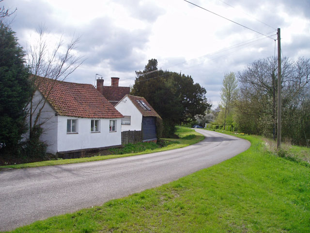
Howlett End

Settlement in Essex Uttlesford

England

Howlett End

Houses in Wimbish Green This part of the hamlet is called Upper Green, as opposed to Lower Green which is by a stream to the south.
Houses in Wimbish Green Credit: David Gruar

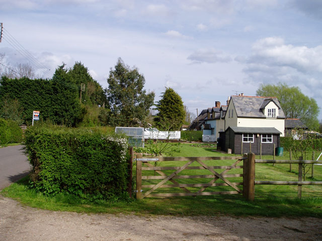
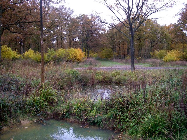
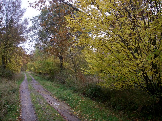
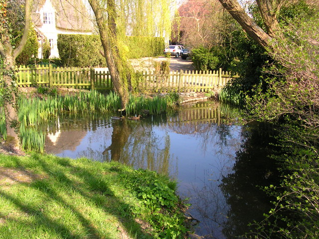
Howlett End is a small village located in the county of Essex, England. Situated approximately 20 miles northeast of London, it falls within the local government district of Epping Forest. The village is known for its picturesque rural setting, with rolling hills and lush green fields surrounding the area.

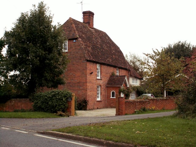
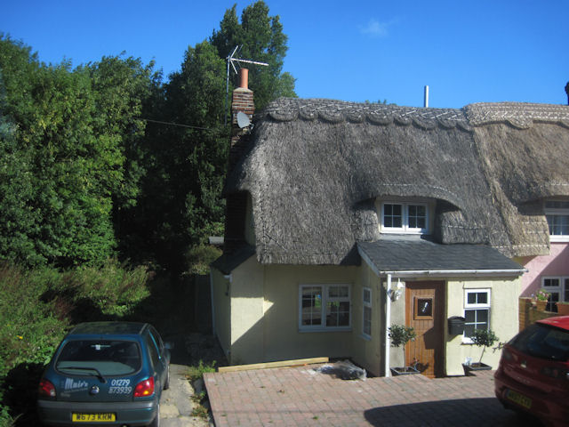
The village itself is home to a close-knit community, with a population of around 500 residents. It boasts a charming village center, characterized by traditional thatched cottages and historic buildings that date back several centuries. The St. Andrew's Church, a beautiful medieval structure, stands as a prominent feature within the village.

Despite its small size, Howlett End offers a range of amenities and services to its residents. These include a primary school, a village hall, and a pub, providing a focal point for social gatherings and community events. The village also benefits from excellent transport links, with easy access to major road networks and nearby railway stations.

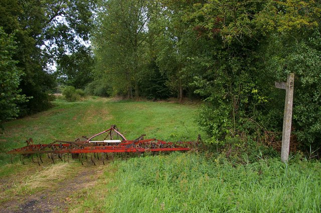
Surrounded by idyllic countryside, Howlett End offers ample opportunities for outdoor activities and exploration. The village is close to the expansive Epping Forest, a popular destination for nature lovers and outdoor enthusiasts. Additionally, nearby attractions such as the Lee Valley Regional Park and Hatfield Forest provide further opportunities for leisure and recreation.

In summary, Howlett End is a charming and peaceful village in Essex, offering a tranquil rural lifestyle within easy reach of London. With its rich history, beautiful surroundings, and strong sense of community, it is a place that continues to attract residents and visitors alike.

If you have any feedback on the listing, please let us know in the comments section below.
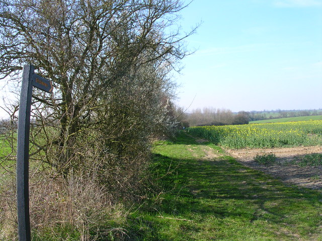
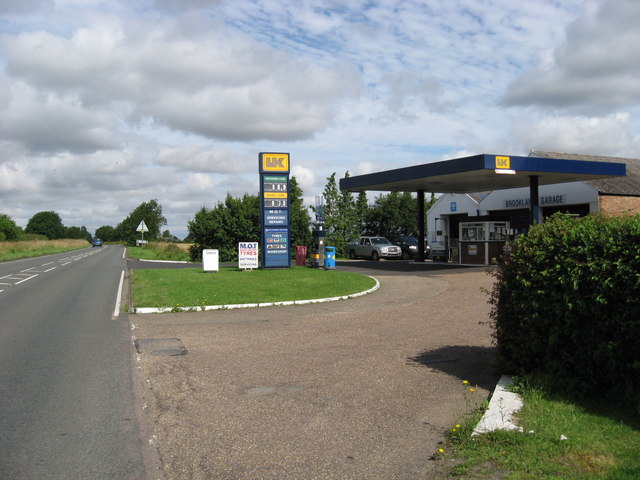
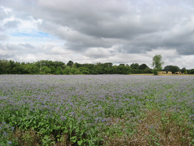
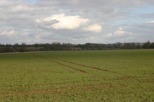
Howlett End Images

Images are sourced within 2km of 51.986215/0.311161 or Grid Reference TL5834. Thanks to Geograph Open Source API. All images are credited.

Houses in Wimbish Green This part of the hamlet is called Upper Green, as opposed to Lower Green which is by a stream to the south.
Houses in Wimbish Green
This part of the hamlet is called Upper Green, as opposed to Lower Green which is by a stream to the south.
Upper Green, near Tye Green There are two places called Upper Green marked on the 1:25,000 map within 500 metres of each other. One relates to Wimbish Green and is in TL6035; this one, I presume, belongs to Tye Green to the west. Photo taken at the point where the public footpath leaves the road to the north.
Upper Green, near Tye Green
There are two places called Upper Green marked on the 1:25,000 map within 500 metres of each other. One relates to Wimbish Green and is in TL6035; this one, I presume, belongs to Tye Green to the west. Photo taken at the point where the public footpath leaves the road to the north.
'White Hart' public house, Rowney Corner, Essex Rowney Corner is on the B184 near Wimbish.
'White Hart' public house, Rowney Corner, Essex
Rowney Corner is on the B184 near Wimbish.
Carver Barracks nee RAF Debden This is Carver Barracks it occupies the site of the former RAF Debden. It became operational in April of 1937. It was a sector airfield of 12 Group during the Battle of Britain and was home to one of the "Eagle Squadrons" of American volunteer RAF pilots. The RAF vacated and USAAF took up residence in 1942. The base remained in RAF service until 1975. As can be guessed from the photo the 33rd Engineer Regiment now in residence are concerned with bomb disposal. To go to the next field in an alphabetical tour of Essex WW2 airfields click on <a href="https://www.geograph.org.uk/photo/149989">TL8427 : Earls Colne Airfield</a>. Much information was gleaned from Graham Smith’s book “Essex Airfields In The Second World War”.
<span class="nowrap"><a title="https://books.google.co.uk/books/about/Essex_Airfields_in_the_Second_World_War.html?id=u3atAAAACAAJ&redir_esc=y" rel="nofollow ugc noopener" href="https://books.google.co.uk/books/about/Essex_Airfields_in_the_Second_World_War.html?id=u3atAAAACAAJ&redir_esc=y">Link</a><img style="margin-left:2px;" alt="External link" title="External link - shift click to open in new window" src="https://s1.geograph.org.uk/img/external.png" width="10" height="10"/></span>
Carver Barracks nee RAF Debden
This is Carver Barracks it occupies the site of the former RAF Debden. It became operational in April of 1937. It was a sector airfield of 12 Group during the Battle of Britain and was home to one of the "Eagle Squadrons" of American volunteer RAF pilots. The RAF vacated and USAAF took up residence in 1942. The base remained in RAF service until 1975. As can be guessed from the photo the 33rd Engineer Regiment now in residence are concerned with bomb disposal. To go to the next field in an alphabetical tour of Essex WW2 airfields click on TL8427 : Earls Colne Airfield. Much information was gleaned from Graham Smith’s book “Essex Airfields In The Second World War”. LinkExternal link
Footpath Wimbish Green This footpath runs from the B184 to Wimbish Green
Footpath Wimbish Green
This footpath runs from the B184 to Wimbish Green
Farmhouse at Burnt House Farm
Rowney wood - the centre Eight radially arranged rides meet at this point beside a pond.
Rowney wood - the centre
Eight radially arranged rides meet at this point beside a pond.
Rowney wood main ride. The main ride on the eastern side of the wood, amidst an area where the conifers have been removed to allow broadleaved trees to take their rightful place.
Rowney wood main ride.
The main ride on the eastern side of the wood, amidst an area where the conifers have been removed to allow broadleaved trees to take their rightful place.
Conyards Farmhouse pond
The spot but not interesting enough for a walk.
Brooklands Garage Garage and filling station opposite Carver Barracks, Wimbish
Brooklands Garage
Garage and filling station opposite Carver Barracks, Wimbish
Borage Field of borage in flower near Howlett End, Essex.
Borage
Field of borage in flower near Howlett End, Essex.
Open countryside near Debden Taken from the Harcamlow Way footpath
Open countryside near Debden
Taken from the Harcamlow Way footpath
White Hart at Rowney Corner on B184
Road to Wimbish Green from B184
Thatched cottage at Howlett End Lies on the B184 next to the telephone box
Thatched cottage at Howlett End
Lies on the B184 next to the telephone box
Cottage just west of Rowney Corner
Brooklands Garage on B184
Show me another place!

Howlett End is located at Grid Ref: TL5834 (Lat: 51.986215, Lng: 0.311161)

Administrative County: Essex

District: Uttlesford

Police Authority: Essex

What 3 Words

///period.imparting.unframed. Near Thaxted, Essex

Nearby Locations

Howlett End Rowney Corner

Related Wikis

Wimbish

Wimbish is a village and civil parish within Uttlesford, in Essex, England. The first recorded mention of the village was in 1042, when it was referred...
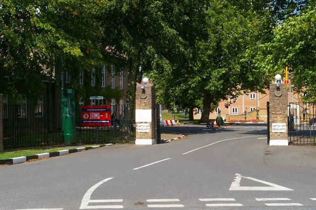
Carver Barracks

Carver Barracks is a British Army base on the former site of RAF Debden, approximately 1 mile north of the village of Debden, in Essex. The nearest town...

Debden Green

Debden Green is a hamlet in the civil parish of Debden, in the Uttlesford district of Essex, England and 2 miles (3 km) west from the town of Thaxted....

RAF Debden

Royal Air Force Debden or more simply RAF Debden is a former Royal Air Force station located 3 miles (4.8 km) southeast of Saffron Walden and approximately...

RAF Great Sampford

Royal Air Force Great Sampford or more simply RAF Great Sampford is a former Royal Air Force satellite station located 1.7 miles (2.7 km) west of Great...

Debden, Uttlesford

Debden is a small rural village in the Uttlesford district of Essex in the East of England. It is located 4 miles (6 km) from Saffron Walden and 17 miles...

Radwinter

Radwinter is a village and a civil parish on the B1053 road, in the Uttlesford district of the county of Essex, England. The population in the 2011 census...

Debden Windmill

Debden Windmill is a grade II listed Tower mill at Debden, Essex, England which has been converted to residential use. == History == Debden Windmill was...

Nearby Amenities

Located within 500m of 51.986215,0.311161
Howlett End
Created By: POI Editor
Place: hamlet
Source: npe
Lat/Long: 51.9865773/0.3138743
Power: pole
Lat/Long: 51.9825229/0.3134804
Power: pole
Lat/Long: 51.9819397/0.3124531
Power: pole
Lat/Long: 51.9835107/0.3156691
Power: pole
Lat/Long: 51.9861356/0.311812
Power: pole
Lat/Long: 51.9854583/0.3128125
Power: pole
Lat/Long: 51.9847497/0.3138291
Power: pole
Lat/Long: 51.9825956/0.3145854
Power: pole
Lat/Long: 51.9885051/0.3116525
Power: pole
Lat/Long: 51.9903112/0.3117504
Power: pole
Lat/Long: 51.9896274/0.3095832
Power: pole
Lat/Long: 51.9899362/0.3105569
Power: pole
Lat/Long: 51.9889172/0.3111604
Power: pole
Lat/Long: 51.9885439/0.3053695
Power: pole
Lat/Long: 51.9892921/0.3086203
Power: pole
Lat/Long: 51.9905044/0.3102404
Power: pole
Lat/Long: 51.988572/0.3056511
Power: pole
Lat/Long: 51.9870342/0.3126771
Power: pole
Lat/Long: 51.9877304/0.3126289
Power: pole
Lat/Long: 51.988216/0.3098434
Power: pole
Lat/Long: 51.9866823/0.3123378
Power: pole
Lat/Long: 51.9882714/0.3119704
Power: pole
Lat/Long: 51.9886034/0.3100834
Power: pole
Lat/Long: 51.9889336/0.3071531
The data included in this document is from www.openstreetmap.org. The data is made available under ODbL.

Have you been to Howlett End?

Leave your review of Howlett End below (or comments, questions and feedback).