Goat Crag
Hill, Mountain in Cumberland Copeland
England
Goat Crag

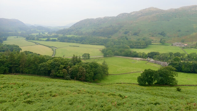
Goat Crag is a prominent hill located in the county of Cumberland, England. Situated in the stunning Lake District National Park, it forms part of the picturesque landscape that attracts outdoor enthusiasts and nature lovers alike. Rising to an elevation of approximately 556 meters (1,824 feet), Goat Crag is often considered a challenging but rewarding climb for hikers and mountaineers.
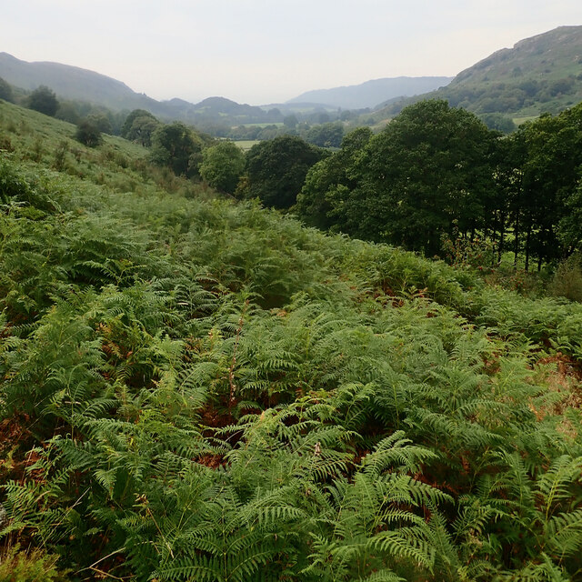
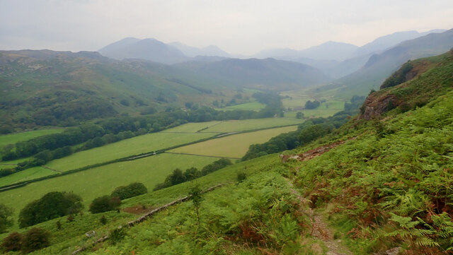
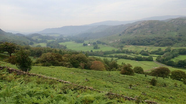
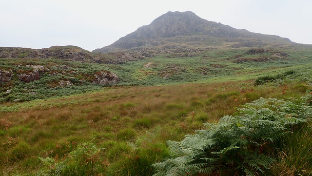
The hill is composed of rugged and rocky terrain, providing a thrilling experience for those seeking an adrenaline rush. Its distinctive craggy features offer stunning panoramic views of the surrounding countryside, including the picturesque valleys, sparkling lakes, and rolling hills that define the region. The summit of Goat Crag provides a perfect vantage point for capturing breathtaking photographs or simply basking in the natural beauty of the area.
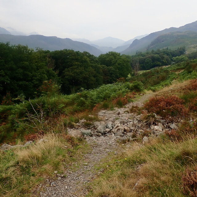
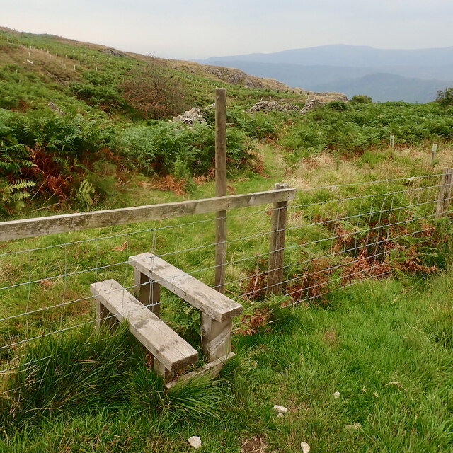
The ascent to the top of Goat Crag involves navigating through steep paths and rocky outcrops, making it a suitable location for experienced climbers and walkers with a good level of fitness. Despite its challenging nature, the hill is well-marked with signposts and trails, ensuring visitors can explore safely.
Surrounded by a diverse range of flora and fauna, Goat Crag is home to various species of birds, including peregrine falcons and red grouse. The hill's unique ecosystem adds to its allure, attracting wildlife enthusiasts and birdwatchers throughout the year.
Overall, Goat Crag is a captivating destination for outdoor enthusiasts, offering a blend of natural beauty, challenging terrain, and wildlife encounters. Whether visitors are seeking an adrenaline-filled adventure or a serene escape into nature, this Cumberland hill delivers an unforgettable experience.
If you have any feedback on the listing, please let us know in the comments section below.
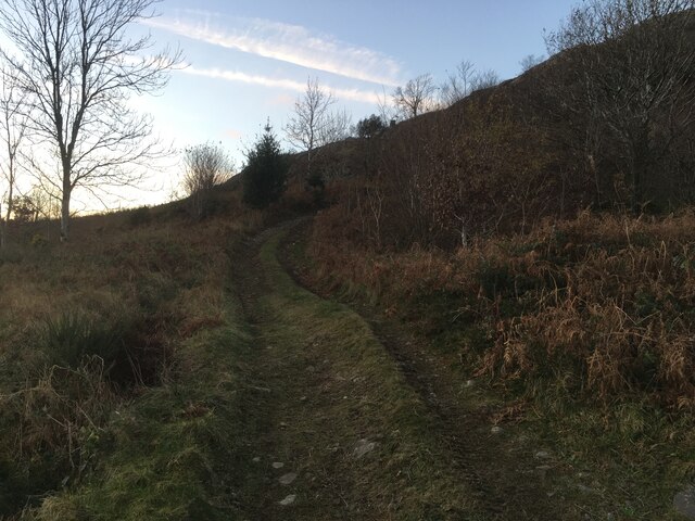
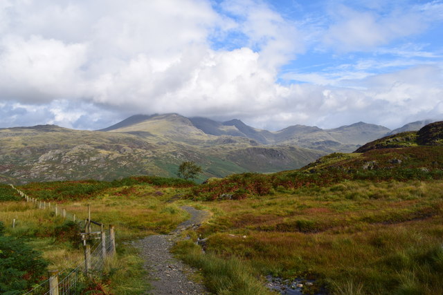
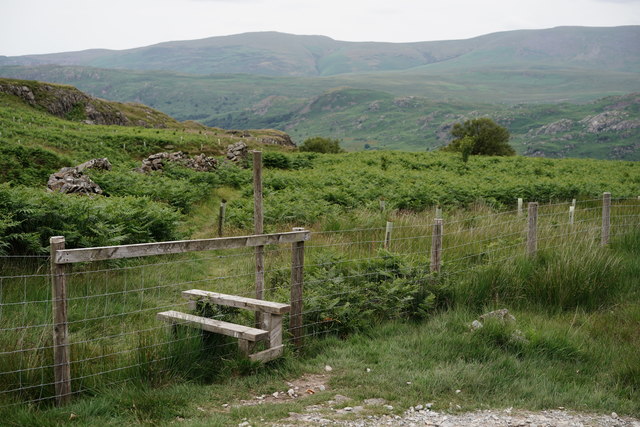
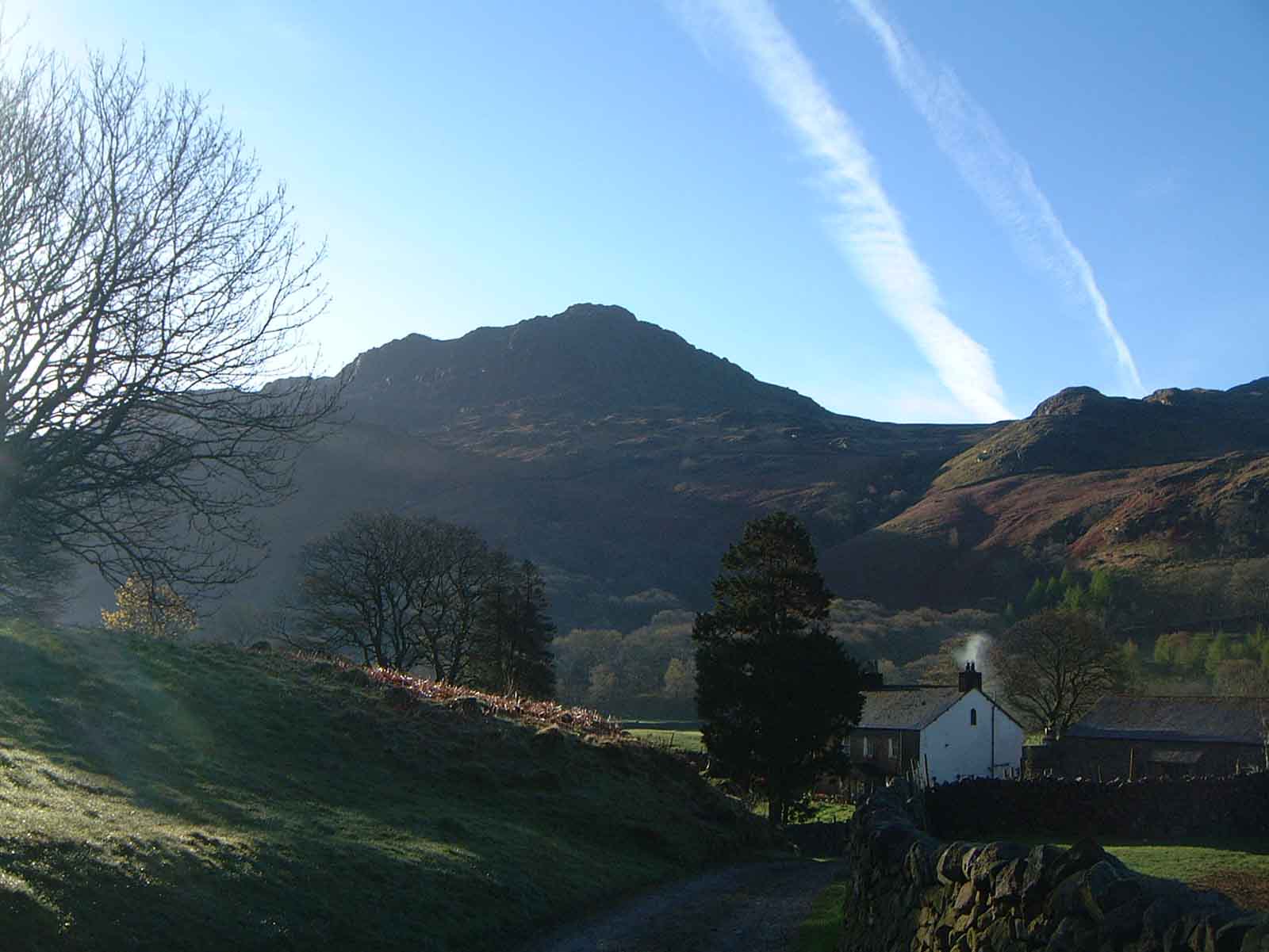
Goat Crag Images
Images are sourced within 2km of 54.40497/-3.2275819 or Grid Reference NY2001. Thanks to Geograph Open Source API. All images are credited.


Goat Crag is located at Grid Ref: NY2001 (Lat: 54.40497, Lng: -3.2275819)
Administrative County: Cumbria
District: Copeland
Police Authority: Cumbria
What 3 Words
///producing.laminate.younger. Near Seascale, Cumbria
Nearby Locations
Related Wikis

Hardknott Roman Fort
Hardknott Roman Fort is an archeological site, the remains of the Roman fort Mediobogdum, located on the western side of the Hardknott Pass in the English...

Woolpack walk
The Woolpack Walk is a challenge walk which starts and finishes at the Woolpack Inn, Eskdale in the Lake District of England. The route covers 30 km (18...

Hardknott Pass
Hardknott Pass is a hill pass between Eskdale and the Duddon Valley in the Lake District National Park, Cumbria, England. The tarmac-surfaced road, which...
Harter Fell (Eskdale)
Harter Fell is a fell in the western part of the English Lake District, located between the Eskdale and Duddon valleys. Its height is 653 metres (2,142...
Nearby Amenities
Located within 500m of 54.40497,-3.2275819Have you been to Goat Crag?
Leave your review of Goat Crag below (or comments, questions and feedback).