Dawsonground Crags
Hill, Mountain in Cumberland Copeland
England
Dawsonground Crags

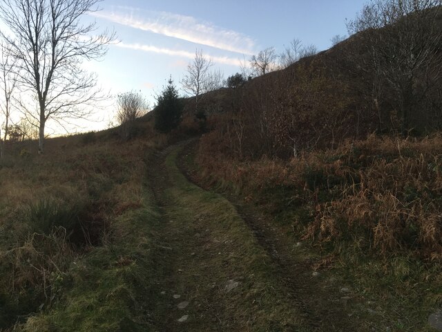
Dawsonground Crags is a prominent hill located in the county of Cumberland, in the northwestern region of England. It is part of the breathtaking Lake District National Park, which is known for its picturesque landscapes and stunning natural beauty. Rising to an elevation of approximately 2,041 feet (622 meters), Dawsonground Crags is often categorized as a hill rather than a mountain.
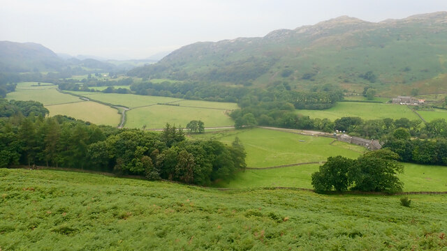
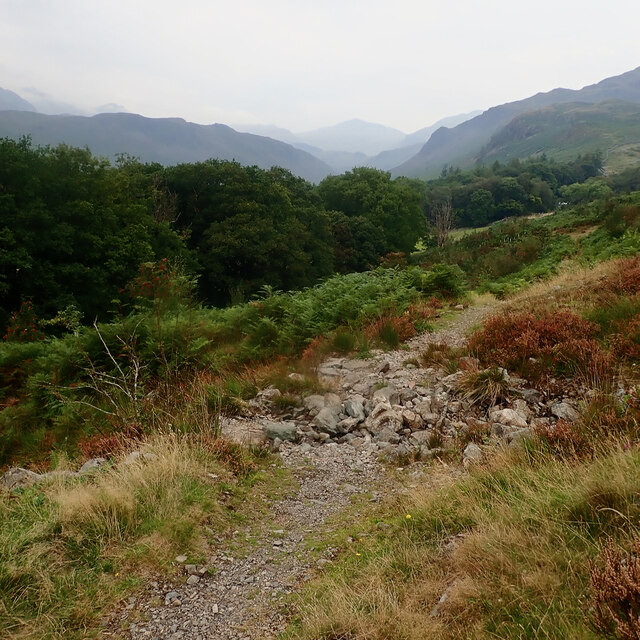
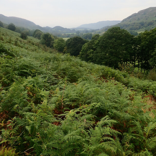
Situated near the village of Grasmere, Dawsonground Crags offers visitors an awe-inspiring view of the surrounding countryside. Its rocky slopes and craggy outcrops create a rugged and dramatic landscape, attracting hikers and nature enthusiasts from far and wide. The hill is covered with a variety of vegetation, including heather, grasses, and scattered trees, adding to its scenic charm.
The ascent to Dawsonground Crags can be challenging, as it involves navigating steep and sometimes slippery terrain. However, the rewarding panoramic views from the summit make the effort worthwhile. On a clear day, one can see the rolling hills and valleys of Cumberland, including nearby peaks such as Helvellyn and Fairfield.
In addition to its natural beauty, Dawsonground Crags holds historical significance. It is said to have been named after John Dawson, a local farmer who owned the land in the 18th century. The hill has also been featured in various literary works, capturing the imagination of writers and poets throughout the centuries.
Dawsonground Crags is a captivating destination for those seeking an outdoor adventure or simply a peaceful retreat amidst the splendor of the Lake District.
If you have any feedback on the listing, please let us know in the comments section below.
Dawsonground Crags Images
Images are sourced within 2km of 54.413281/-3.2286932 or Grid Reference NY2002. Thanks to Geograph Open Source API. All images are credited.


![Prehistoric enclosure, hut circle and adjacent cairnfield Source: Historicengland.org.uk. (2012). Prehistoric enclosure, hut circle and adjacent cairnfield east of Whillan Beck, Burnmoor, Eskdale - 1008534 | Historic England. [online] Available at: <span class="nowrap"><a title="https://historicengland.org.uk/listing/the-list/list-entry/1008534" rel="nofollow ugc noopener" href="https://historicengland.org.uk/listing/the-list/list-entry/1008534">Link</a><img style="margin-left:2px;" alt="External link" title="External link - shift click to open in new window" src="https://s1.geograph.org.uk/img/external.png" width="10" height="10"/></span> [Accessed 21 Sep. 2021].
](https://s1.geograph.org.uk/geophotos/06/96/88/6968853_d0ded59b.jpg)


Dawsonground Crags is located at Grid Ref: NY2002 (Lat: 54.413281, Lng: -3.2286932)
Administrative County: Cumbria
District: Copeland
Police Authority: Cumbria
What 3 Words
///scoring.galloping.clipboard. Near Seascale, Cumbria
Nearby Locations
Related Wikis

Hardknott Roman Fort
Hardknott Roman Fort is an archeological site, the remains of the Roman fort Mediobogdum, located on the western side of the Hardknott Pass in the English...

Woolpack walk
The Woolpack Walk is a challenge walk which starts and finishes at the Woolpack Inn, Eskdale in the Lake District of England. The route covers 30 km (18...

Hardknott Pass
Hardknott Pass is a hill pass between Eskdale and the Duddon Valley in the Lake District National Park, Cumbria, England. The tarmac-surfaced road, which...

Slight Side
Slight Side is a fell in the English Lake District it stands 25 kilometres (16 miles) east southeast of the town of Whitehaven and reaches a height of...
Nearby Amenities
Located within 500m of 54.413281,-3.2286932Have you been to Dawsonground Crags?
Leave your review of Dawsonground Crags below (or comments, questions and feedback).