Cairnacay

Hill, Mountain in Banffshire

Scotland

Cairnacay

Craggan in Strath Avon
Craggan in Strath Avon Credit: Alan Reid

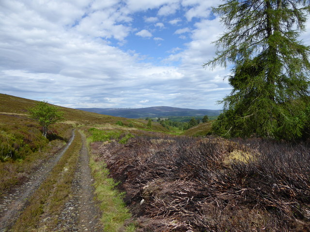
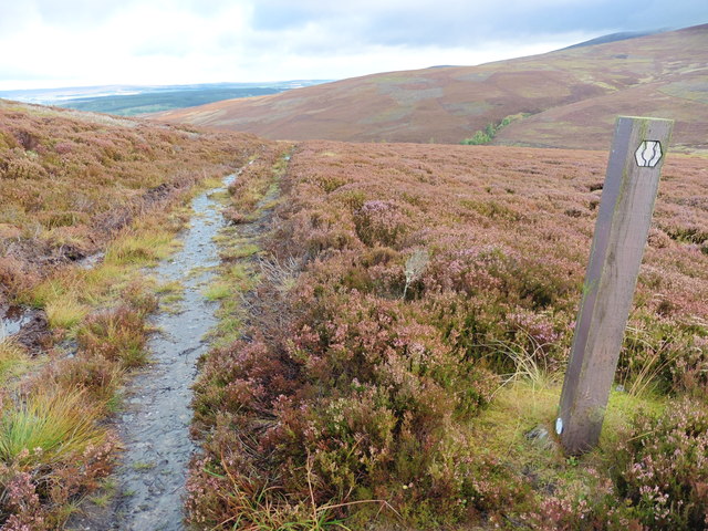
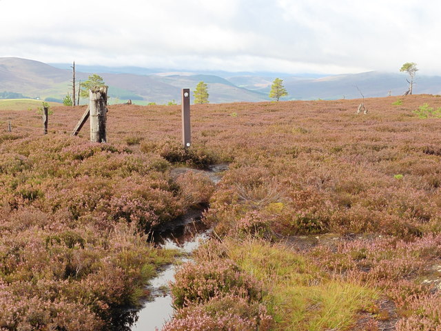
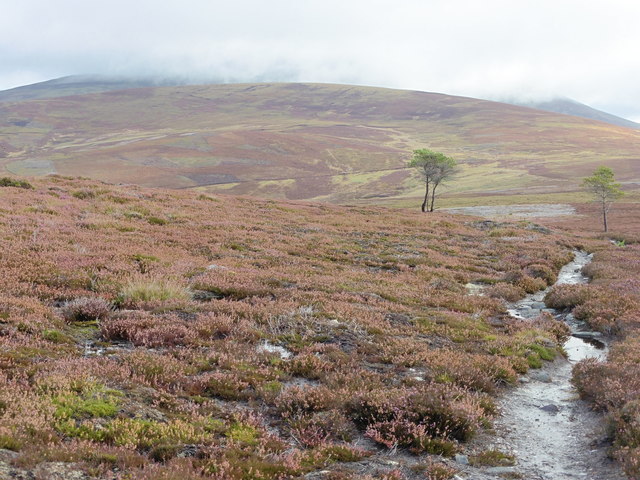
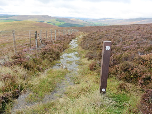
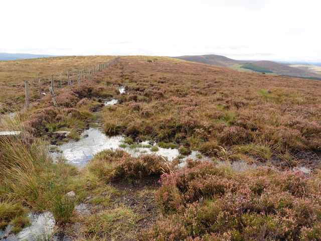
Cairnacay is a prominent hill located in Banffshire, Scotland. It stands at an elevation of approximately 1,037 feet (316 meters) above sea level and offers stunning panoramic views of the surrounding countryside. The hill is known for its rugged terrain, with rocky outcrops and heather-covered slopes adding to its natural beauty.

Cairnacay is a popular destination for hikers and outdoor enthusiasts, with several trails leading to the summit offering varying levels of difficulty. The hill is also home to a variety of wildlife, including red deer, rabbits, and birds of prey, making it a great spot for nature lovers to explore.

At the summit of Cairnacay, visitors can enjoy breathtaking views of the rolling hills and valleys of Banffshire, as well as the nearby coastline. On a clear day, it is possible to see as far as the Moray Firth and even the mountains of the Scottish Highlands in the distance.

Overall, Cairnacay is a picturesque and rewarding destination for those looking to experience the beauty of the Scottish countryside and immerse themselves in nature.

If you have any feedback on the listing, please let us know in the comments section below.

Cairnacay Images

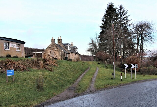
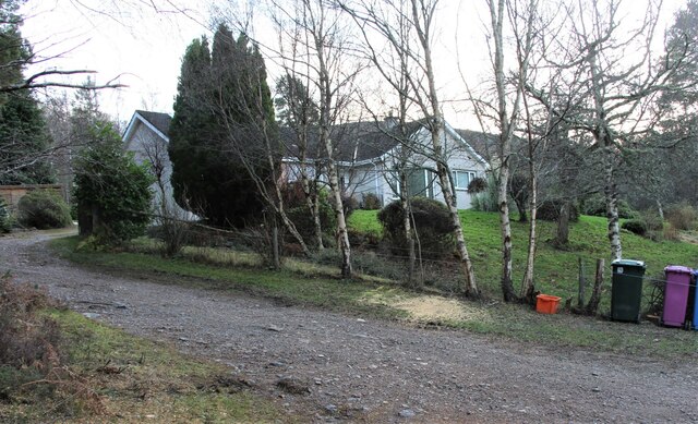
Images are sourced within 2km of 57.379296/-3.3267528 or Grid Reference NJ2032. Thanks to Geograph Open Source API. All images are credited.

Craggan in Strath Avon
Birch woods in Strath Avon Near Dalmenach.
Birch woods in Strath Avon
Near Dalmenach.
A sheltered bungalow in Strath Avon
B9008 towards Glenlivet
Gravel road towards Ordhead
B9008 towards Bridge of Avon
Speyside Way above Auldich This spur leads off the main route of the Speyside Way and continues to Tomintoul via Glenlivet.
Speyside Way above Auldich
This spur leads off the main route of the Speyside Way and continues to Tomintoul via Glenlivet.
Speyside Way above car park at Auldich There is a small car park at the end of the surfaced road beyond Auldich which serves this branch off the main Speyside Way, known as the Tomintoul Spur.
Speyside Way above car park at Auldich
There is a small car park at the end of the surfaced road beyond Auldich which serves this branch off the main Speyside Way, known as the Tomintoul Spur.
Track by the Knocknashalg Burn A track on moorland south-west of Ben Rinnes.
Track by the Knocknashalg Burn
A track on moorland south-west of Ben Rinnes.
The Speyside Way Tomintoul Spur near Cnoc na Sealg
The Speyside Way Tomintoul Spur near Bannock Well
The Speyside Way Tomintoul Spur near Faetassan
The Speyside Way Tomintoul Spur near Corrie of Deskie
Hill of Deskie This is the summit of the Hill of Deskie, the end of the first climb on the northern part of the Tomintoul Spur of the Speyside Way <span class="nowrap"><a title="http://www.speysideway.co.uk" rel="nofollow ugc noopener" href="http://www.speysideway.co.uk">Link</a><img style="margin-left:2px;" alt="External link" title="External link - shift click to open in new window" src="https://s1.geograph.org.uk/img/external.png" width="10" height="10"/></span>. It's hardly a dramatic summit, but it was good to have it behind us.
Hill of Deskie
This is the summit of the Hill of Deskie, the end of the first climb on the northern part of the Tomintoul Spur of the Speyside Way LinkExternal link. It's hardly a dramatic summit, but it was good to have it behind us.
Rock Exposure Until now, the whole of our walk along the Tomintoul Spur of the Speyside Way <span class="nowrap"><a title="http://www.speysideway.co.uk" rel="nofollow ugc noopener" href="http://www.speysideway.co.uk">Link</a><img style="margin-left:2px;" alt="External link" title="External link - shift click to open in new window" src="https://s1.geograph.org.uk/img/external.png" width="10" height="10"/></span> has been on glacial deposits, but here we encountered some bare rock in situ. It's metamorphosed sandstone of the Strathavon Psammite Hormation, 1000 to 541 million years old. The tip of Ben Rinnes is on the skyline.
Rock Exposure
Until now, the whole of our walk along the Tomintoul Spur of the Speyside Way LinkExternal link has been on glacial deposits, but here we encountered some bare rock in situ. It's metamorphosed sandstone of the Strathavon Psammite Hormation, 1000 to 541 million years old. The tip of Ben Rinnes is on the skyline.
Show me another place!

Cairnacay is located at Grid Ref: NJ2032 (Lat: 57.379296, Lng: -3.3267528)

Unitary Authority: Moray

Police Authority: North East

What 3 Words

///register.workflow.digit. Near Charlestown of Aberlour, Moray

Nearby Locations

Cairnacay

Related Wikis

Deskie Castle

Deskie Castle was a medieval tower house that is thought to have been near Bridgend of Livet, Moray, Scotland. == History == Little is known of the castle...

Drumin Castle

Drumin Castle is a ruined tower house near Glenlivet, Moray, Scotland. The castle is situated on a ridge above the junction of the Livet and Avon Rivers...

Glenlivet

Glenlivet (Scottish Gaelic: Gleann Lìobhait) is the glen in the Scottish Highlands through which the River Livet flows. The river rises high in the Ladder...
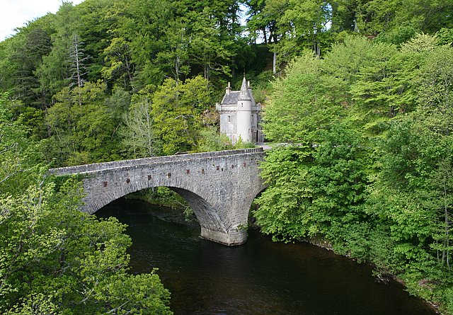
Bridge of Avon

The Bridge of Avon is a bridge over the River Avon at Ballindalloch in Moray, Scotland, built between 1800 and 1801 by George Burn. The bridge is mainly...

Nearby Amenities

Located within 500m of 57.379296,-3.3267528
Cairnacay
Ele: 489
Natural: peak
Lat/Long: 57.3795791/-3.3266324
The data included in this document is from www.openstreetmap.org. The data is made available under ODbL.

Have you been to Cairnacay?

Leave your review of Cairnacay below (or comments, questions and feedback).