Gool Knowe

Hill, Mountain in Peeblesshire

Scotland

Gool Knowe

Megget Reservoir The reservoir was opened on 30th September 1983 and under normal conditions has an area of water surface of 259Ha (640 acres).
Megget Reservoir Credit: Walter Baxter

Gool Knowe is a prominent hill located in the county of Peeblesshire, Scotland. Situated near the town of Peebles, it forms part of the picturesque landscape of the Scottish Borders region. With an elevation of approximately 380 meters (1247 feet), Gool Knowe offers breathtaking views of the surrounding countryside.

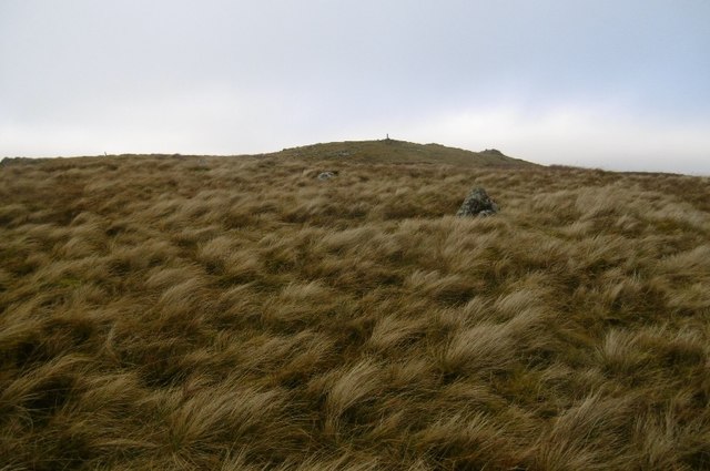
The hill is characterized by its gentle slopes and a distinct rocky outcrop at its summit, which adds a dramatic touch to its appearance. Its slopes are covered in a patchwork of lush green vegetation, including grasses, heather, and scattered trees, creating a visually pleasing panorama.

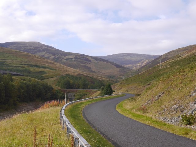
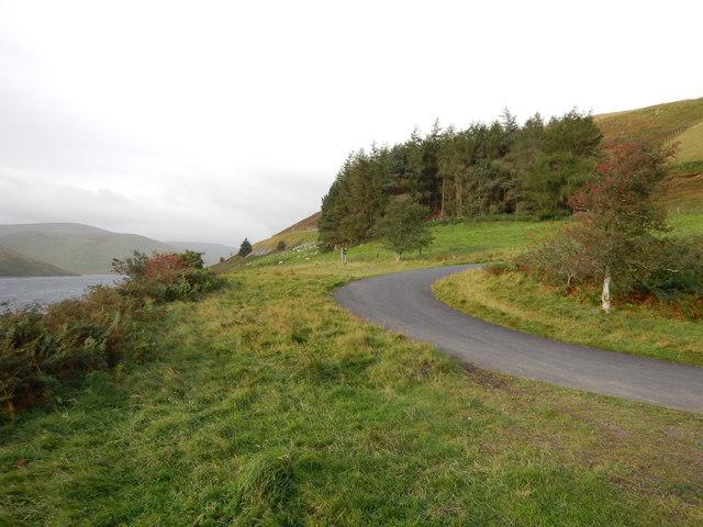
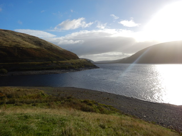
Gool Knowe is a popular destination for outdoor enthusiasts and nature lovers. Hiking and walking trails traverse the hill, providing visitors with the opportunity to explore its natural beauty and wildlife. The summit offers panoramic views of the surrounding hills, valleys, and the meandering Tweed River, enchanting all those who make the ascent.

The hill is also of historical significance, with remnants of ancient settlements and archaeological sites scattered throughout its slopes. These remnants serve as a reminder of the area's rich history and the people who once called Gool Knowe home.

Overall, Gool Knowe is a captivating destination that combines natural beauty, recreational opportunities, and historical significance. Whether for a leisurely walk, a challenging hike, or simply to admire the stunning vistas, Gool Knowe is a must-visit location for anyone exploring the Scottish Borders.

If you have any feedback on the listing, please let us know in the comments section below.
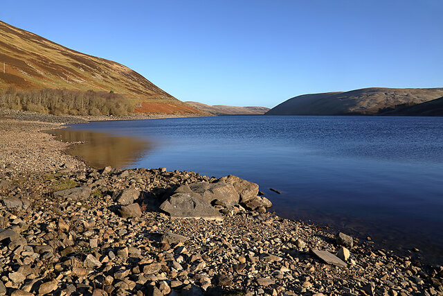
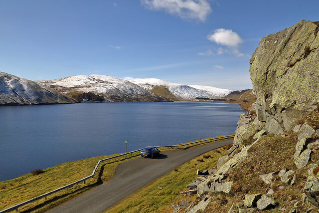
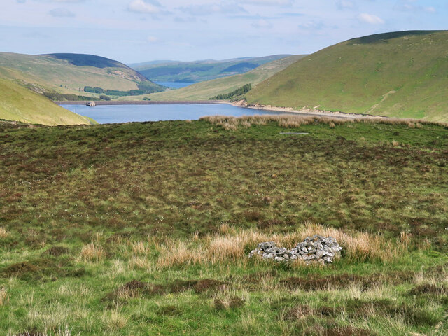
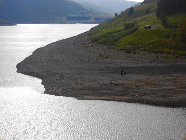
Gool Knowe Images

Images are sourced within 2km of 55.478271/-3.2656075 or Grid Reference NT2021. Thanks to Geograph Open Source API. All images are credited.

Megget Reservoir The reservoir was opened on 30th September 1983 and under normal conditions has an area of water surface of 259Ha (640 acres).
Megget Reservoir
The reservoir was opened on 30th September 1983 and under normal conditions has an area of water surface of 259Ha (640 acres).
Megget Reservoir The reservoir was viewed on a beautiful early April morning.
Megget Reservoir
The reservoir was viewed on a beautiful early April morning.
Moorland above the Megget Reservoir With an old grouse butt on the right. Looking towards the Megget Dam and St Mary's Loch.
Moorland above the Megget Reservoir
With an old grouse butt on the right. Looking towards the Megget Dam and St Mary's Loch.
Megget Reservoir Stones exposed by the drawn down reservoir at the mouth of the Cramalt Arm.
Megget Reservoir
Stones exposed by the drawn down reservoir at the mouth of the Cramalt Arm.
Road, Megget Water The new, post flooding road makes a long circuit of the Cramalt Arm.
Road, Megget Water
The new, post flooding road makes a long circuit of the Cramalt Arm.
Megget Dam - Picnic Layby Access Road This Picnic area has a new tower ruin that represents the flooded towers in the reservoir.
Megget Dam - Picnic Layby Access Road
This Picnic area has a new tower ruin that represents the flooded towers in the reservoir.
Megget Reservoir Sunrise
(New) Winterhopeburn The original Winterhopeburn is a ruined cottage further up Winter Hope.  The current house and farm buildings are more recent. No house or buildings are shown on 1950s mapping but the first edition of the 1:50,000 Ordnance Survey sheet 72 does show a house here. The road in the foreground has yet to make it onto the OS 1:50,000 map.  

A Harvey map has yet to be issued publicly, but searching for Original Mountain Marathon 2015 images will show some very useful up to date mapping of the area.
(New) Winterhopeburn
The original Winterhopeburn is a ruined cottage further up Winter Hope. The current house and farm buildings are more recent. No house or buildings are shown on 1950s mapping but the first edition of the 1:50,000 Ordnance Survey sheet 72 does show a house here. The road in the foreground has yet to make it onto the OS 1:50,000 map. A Harvey map has yet to be issued publicly, but searching for Original Mountain Marathon 2015 images will show some very useful up to date mapping of the area.
Winterhope Burn Looking up Winterhope on a very windy morning. Sheep were getting agitated so I stopped here, changed plans and went for a walk up Craigdilly instead - that was fun, especially the staying on the ground bit.
Winterhope Burn
Looking up Winterhope on a very windy morning. Sheep were getting agitated so I stopped here, changed plans and went for a walk up Craigdilly instead - that was fun, especially the staying on the ground bit.
Craigdilly Nearing the summit.  Hard work avoiding camera shake and flying in a very strong westerly.
Craigdilly
Nearing the summit. Hard work avoiding camera shake and flying in a very strong westerly.
Northeast side of Craigdilly Moorland slopes above Megget Reservoir - the gentle side of a steep hill.
Northeast side of Craigdilly
Moorland slopes above Megget Reservoir - the gentle side of a steep hill.
Northeast side of Craigdilly Overlooking Shiel Hope and Megget Reservoir.  A sheep walk.
Northeast side of Craigdilly
Overlooking Shiel Hope and Megget Reservoir. A sheep walk.
Moorland, Shiel Hope Eastern side of Craigdilly.
Moorland, Shiel Hope
Eastern side of Craigdilly.
Shielhope Descending clag above a somewhat cut off glen (thanks to Megget Reservoir).
Shielhope
Descending clag above a somewhat cut off glen (thanks to Megget Reservoir).
Cramalt inlet on a dark day The loop around the Cramalt inlet as the weather deteriorates.
Cramalt inlet on a dark day
The loop around the Cramalt inlet as the weather deteriorates.
Megget Reservoir Megget Reservoir is run by East of Scotland Water and was opened in 1983. This view is towards the south-west end of the reservoir.
Megget Reservoir
Megget Reservoir is run by East of Scotland Water and was opened in 1983. This view is towards the south-west end of the reservoir.
Megget Reservoir reflections This was taken on a rare calm late February day from the minor road on the north side of the reservoir. The hills in the background are Craigdilly on the left and Dead for Cauld on the right.
Megget Reservoir reflections
This was taken on a rare calm late February day from the minor road on the north side of the reservoir. The hills in the background are Craigdilly on the left and Dead for Cauld on the right.
The Megget Reservoir Road at Cramalt The minor road with passing places is on the northwest side of the reservoir.
The Megget Reservoir Road at Cramalt
The minor road with passing places is on the northwest side of the reservoir.
Show me another place!

Gool Knowe is located at Grid Ref: NT2021 (Lat: 55.478271, Lng: -3.2656075)

Unitary Authority: The Scottish Borders

Police Authority: The Lothians and Scottish Borders

What 3 Words

///reach.amplifier.chopper. Near Ettrick, Scottish Borders

Nearby Locations

Gool Knowe

Related Wikis

Megget Reservoir

Megget Reservoir is an impounding reservoir in the Megget valley in Ettrick Forest, in the Scottish Borders. The 259 hectares (640 acres) reservoir is...

Megget

Megget is a former chapelry or parish containing the valley of Megget Water, now forming the westernmost part of the parish of Yarrow, Selkirkshire in...

Craigierig

Craigierig is a village on the Megget Reservoir, in the Scottish Borders area of Scotland, in the former Selkirkshire. Places nearby include the Glengaber...
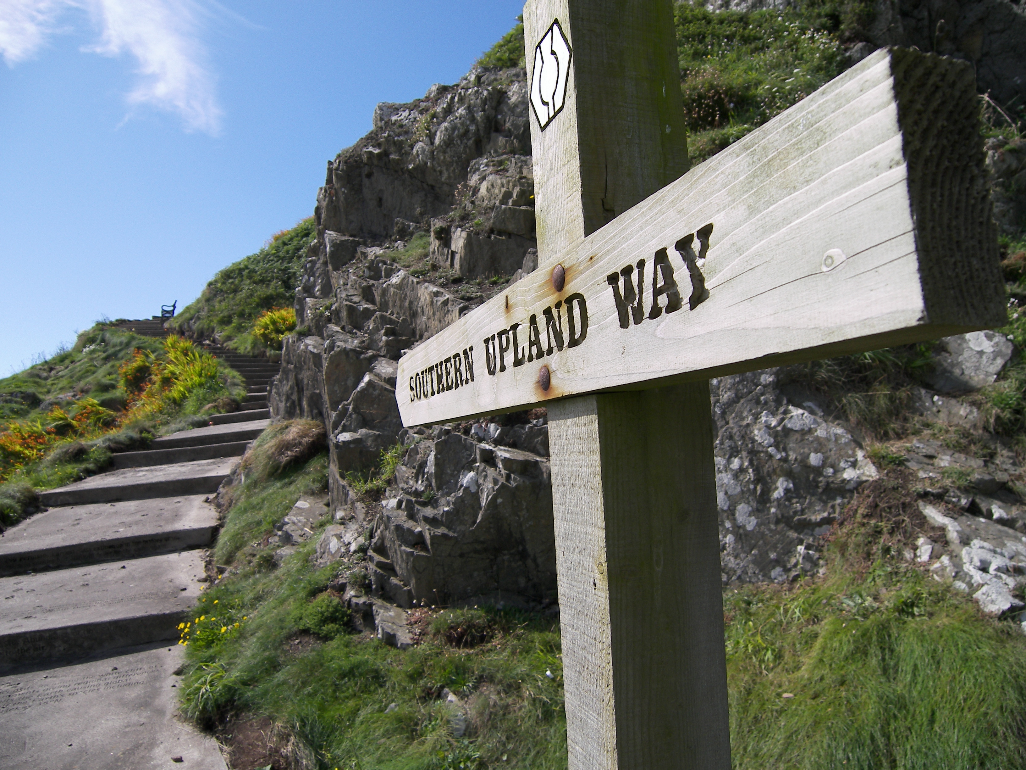
Southern Upland Way

The Southern Upland Way is a 344-kilometre (214 mi) coast-to-coast long-distance footpath in southern Scotland. The route links Portpatrick in the west...

Have you been to Gool Knowe?

Leave your review of Gool Knowe below (or comments, questions and feedback).