Grange Hill

Hill, Mountain in Peeblesshire

Scotland

Grange Hill

Grange Hill Trig Point Flush Bracket S3135
Grange Hill Trig Point Flush Bracket S3135 Credit: thejackrustles

Grange Hill is a prominent hill located in the Peeblesshire region of Scotland. Standing at an elevation of approximately 486 meters (1,594 feet), it offers breathtaking views of the surrounding countryside and is a popular destination among hikers and nature enthusiasts.

Situated near the town of Peebles, Grange Hill is part of the wider Tweed Valley Forest Park, which comprises vast stretches of woodland and moorland. The hill itself is covered in heather and scattered with rocky outcrops, adding to its rugged charm. Its slopes are home to a variety of wildlife, including red deer, mountain hares, and birds of prey.

The summit of Grange Hill provides panoramic vistas across the picturesque Tweed Valley, with the winding River Tweed cutting through the rolling hills in the distance. On clear days, it is even possible to catch glimpses of the iconic Scottish Borders landmarks, such as the Eildon Hills and the Pentland Hills.

To reach the summit of Grange Hill, there are several well-marked trails that cater to different levels of fitness and experience. The most popular route starts from the nearby village of Eddleston and takes around two hours to complete. Along the way, hikers can enjoy the tranquil beauty of the surrounding countryside, with occasional glimpses of wildlife and historical features such as the ruins of Castle Craig.

Overall, Grange Hill offers a rewarding outdoor experience for those seeking a scenic and invigorating hike in the heart of Peeblesshire, showcasing the natural beauty and rich heritage of this enchanting Scottish region.

If you have any feedback on the listing, please let us know in the comments section below.

Grange Hill Images

Images are sourced within 2km of 55.749116/-3.2745713 or Grid Reference NT2051. Thanks to Geograph Open Source API. All images are credited.
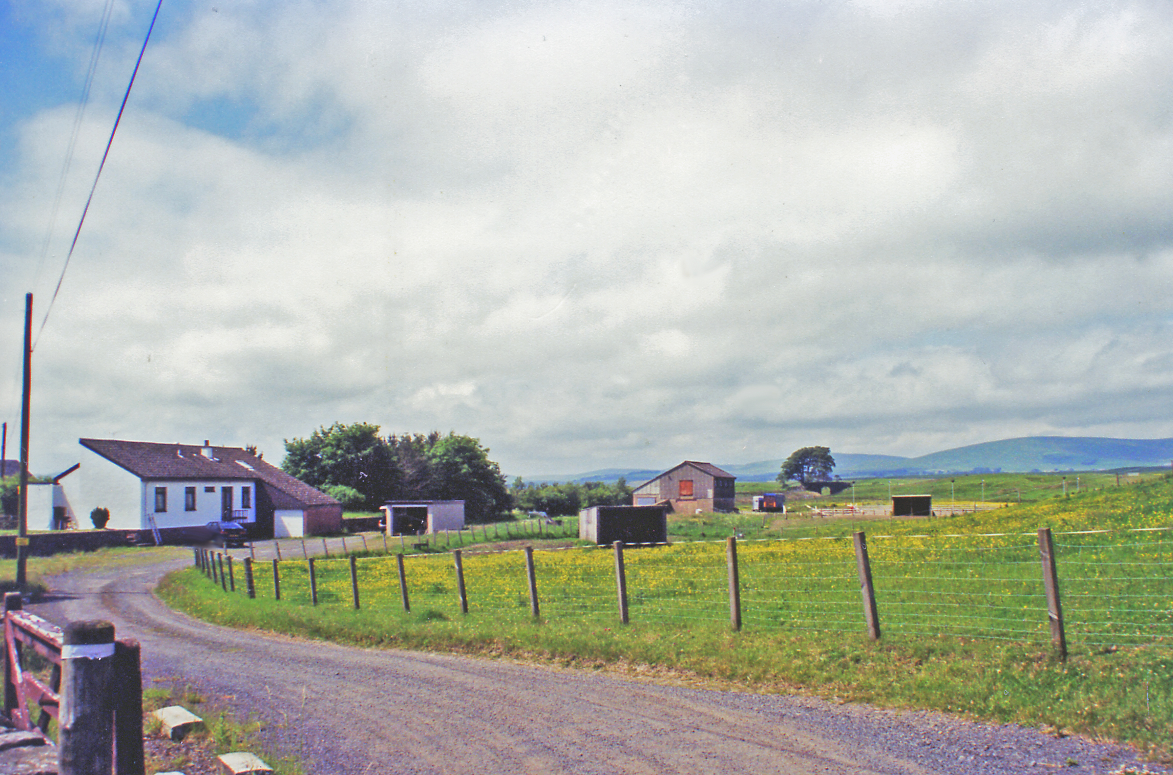
Grange Hill Trig Point Flush Bracket S3135
Urinals in Progress Judging by the timber these two urinals will be plumbed in at some point - otherwise a pointless exercise. There are acres and acres of open countryside here in which men can relieve themselves, thereby dissipating the smell! 
I took the picture because it was such a strange site - Northern European pissoirs in the middle of nowhere. This area is just North of a large forest and, whilst the track serves as a through road to the handful of houses further North at Ruddenleys, at this point it is/was occasionally in use as some kind of outdoor activities centre. There were signs up and I forget the business name, but considering I was here on an unusually hot Sunday afternoon in July it is odd that there were no activities taking place. Maybe it has gone bust, or maybe the owners are enjoying a holiday somewhere even warmer...
Urinals in Progress
Judging by the timber these two urinals will be plumbed in at some point - otherwise a pointless exercise. There are acres and acres of open countryside here in which men can relieve themselves, thereby dissipating the smell! I took the picture because it was such a strange site - Northern European pissoirs in the middle of nowhere. This area is just North of a large forest and, whilst the track serves as a through road to the handful of houses further North at Ruddenleys, at this point it is/was occasionally in use as some kind of outdoor activities centre. There were signs up and I forget the business name, but considering I was here on an unusually hot Sunday afternoon in July it is odd that there were no activities taking place. Maybe it has gone bust, or maybe the owners are enjoying a holiday somewhere even warmer...
Grassfield This has to be one of the most precarious ruins I have ever come across. Thankfully it is nowhere near civilization; otherwise it would have been demolished, or fenced off awaiting a decision on demolition! Stones - if pushed - just fall off the walls, the far gable end is leaning at a worrying angle, and there is one squarish stone over the main arched doorway into the old house (which may or may not once have formed part of a lintel - the building  is so far gone it is by no means certain that the arched-looking doorway always looked this way) which pretty much defines the word 'precarious'!
The 1850s OS naming book (these were written up mainly to establish agreed-upon spellings for everything that got namechecked on the first OS maps of an area) for here describes Grassfield as a "one storey cottage with garden attached". This suggests, surprisingly, that this large building wasn't a proper farm, though the crumbling remains of a low wall in front of its entrance indicates that there must have once been animals around, belonging to other farms, or, more likely, a small number belonging to the occupants of this rather large 'cottage'.
The grass field that must have once been a big garden is now a nettlefield. Long trousers are required to get this close if you are a normal person.
Grassfield
This has to be one of the most precarious ruins I have ever come across. Thankfully it is nowhere near civilization; otherwise it would have been demolished, or fenced off awaiting a decision on demolition! Stones - if pushed - just fall off the walls, the far gable end is leaning at a worrying angle, and there is one squarish stone over the main arched doorway into the old house (which may or may not once have formed part of a lintel - the building is so far gone it is by no means certain that the arched-looking doorway always looked this way) which pretty much defines the word 'precarious'! The 1850s OS naming book (these were written up mainly to establish agreed-upon spellings for everything that got namechecked on the first OS maps of an area) for here describes Grassfield as a "one storey cottage with garden attached". This suggests, surprisingly, that this large building wasn't a proper farm, though the crumbling remains of a low wall in front of its entrance indicates that there must have once been animals around, belonging to other farms, or, more likely, a small number belonging to the occupants of this rather large 'cottage'. The grass field that must have once been a big garden is now a nettlefield. Long trousers are required to get this close if you are a normal person.
A701 and Macbieknowe
Hillside behind Ironstone Cottages
Cows and bumps The picture was taken from the North wall of the 'Macbiehill' road. The bumps are a scheduled monument. Whilst there are numerous areas in this part of the Scottish Borders altered by early quarrying activity, this one has been singled out. So if you're prepared to mix it up with the cows there are traces of rare old limekilns somewhere out here. According to Historic Environment Scotland, the quarry was once one of the most profitable in Southern Scotland, and 'unusually' was worked by the owner - so there's a timeless business message there for us all.
The quarry was 'Bents Quarry' and the nearest hamlet is/was 'Lamancha'. In the deep distant past I used to deliver parcels round here. After mispronouncing the name several times I was informed that the 'ch' was silent: "like the 'ch' in 'chianti'."
Cows and bumps
The picture was taken from the North wall of the 'Macbiehill' road. The bumps are a scheduled monument. Whilst there are numerous areas in this part of the Scottish Borders altered by early quarrying activity, this one has been singled out. So if you're prepared to mix it up with the cows there are traces of rare old limekilns somewhere out here. According to Historic Environment Scotland, the quarry was once one of the most profitable in Southern Scotland, and 'unusually' was worked by the owner - so there's a timeless business message there for us all. The quarry was 'Bents Quarry' and the nearest hamlet is/was 'Lamancha'. In the deep distant past I used to deliver parcels round here. After mispronouncing the name several times I was informed that the 'ch' was silent: "like the 'ch' in 'chianti'."
Chimney at Braefoot All that is left of [probably] an old industrial building.
Chimney at Braefoot
All that is left of [probably] an old industrial building.
The Dead Burn near Macbiehill A good demonstration of standing waves in a fluid. They do actually move about a bit, but it is smooth flow like this in the atmosphere that produces lenticular clouds, so loved by glider pilots.
The Dead Burn near Macbiehill
A good demonstration of standing waves in a fluid. They do actually move about a bit, but it is smooth flow like this in the atmosphere that produces lenticular clouds, so loved by glider pilots.
Fields at Braefoot The circular wood in the next square, surrounded by a ha-ha type wall, contains a burial vault of the Montgomery and Beresford Families.
Fields at Braefoot
The circular wood in the next square, surrounded by a ha-ha type wall, contains a burial vault of the Montgomery and Beresford Families.
White House, Lamancha One of many in the area. Looking across the field from Braefoot.
White House, Lamancha
One of many in the area. Looking across the field from Braefoot.
An unassuming modern house near Lamancha But see it from the other side <a href="https://www.geograph.org.uk/photo/3856450">NT1852 : House, lost in a landscape</a>!
An unassuming modern house near Lamancha
But see it from the other side NT1852 : House, lost in a landscape!
House, lost in a landscape A reciprocal view to <a href="https://www.geograph.org.uk/photo/3856444">NT1852 : An unassuming modern house near Lamancha</a>.
House, lost in a landscape
Food truck, Whitmuir A mobile catering outlet for the organic farm food.
Food truck, Whitmuir
A mobile catering outlet for the organic farm food.
Route Of The Leadburn, Linton And Dolphinton Railway Looking back towards the location of Macbie Hill Station.  The line opened in 1864, closed in 1933 and six years later, reopened to freight between Macbie Hill and Leadburn for 21 years due to the formation of RNAD Leadburn.  See <span class="nowrap"><a title="http://www.railbrit.co.uk/Leadburn_Linton_and_Dolphinton_Railway/index.php" rel="nofollow ugc noopener" href="http://www.railbrit.co.uk/Leadburn_Linton_and_Dolphinton_Railway/index.php">Link</a><img style="margin-left:2px;" alt="External link" title="External link - shift click to open in new window" src="https://s1.geograph.org.uk/img/external.png" width="10" height="10"/></span> for archival photographs and information.
Route Of The Leadburn, Linton And Dolphinton Railway
Looking back towards the location of Macbie Hill Station. The line opened in 1864, closed in 1933 and six years later, reopened to freight between Macbie Hill and Leadburn for 21 years due to the formation of RNAD Leadburn. See LinkExternal link for archival photographs and information.
Dyke And Desolation Not exactly the prettiest area of the Scottish Borders - the Auchencorth Moss peat works are over the dyke, to the left - whilst improved pasture on the site of the former RNAD Leadburn.
Dyke And Desolation
Not exactly the prettiest area of the Scottish Borders - the Auchencorth Moss peat works are over the dyke, to the left - whilst improved pasture on the site of the former RNAD Leadburn.
Bridge Remains On The Leadburn, Linton And Dolphinton Railway The remains of a bridge enabling passage of livestock between fields under the line.
Bridge Remains On The Leadburn, Linton And Dolphinton Railway
The remains of a bridge enabling passage of livestock between fields under the line.
Building Remains The remains of a small building dating from the time the area was part of RNAD Leadburn.  Closest to the camera appears to be a C-shaped structure providing shelter for the open end of the garage-like building.  Could this be some sort of blast wall?
Building Remains
The remains of a small building dating from the time the area was part of RNAD Leadburn. Closest to the camera appears to be a C-shaped structure providing shelter for the open end of the garage-like building. Could this be some sort of blast wall?
Building Remains - Detail The structure which resembles a blast wall at the entrance to the garage-like structure.
Building Remains - Detail
The structure which resembles a blast wall at the entrance to the garage-like structure.
Show me another place!

Grange Hill is located at Grid Ref: NT2051 (Lat: 55.749116, Lng: -3.2745713)

Unitary Authority: The Scottish Borders

Police Authority: The Lothians and Scottish Borders

What 3 Words

///smarting.expiring.combining. Near West Linton, Scottish Borders

Nearby Locations

Grange Hill

Related Wikis

Lamancha railway station

Lamancha railway station served the hamlet of Lamancha, Peeblesshire, Scotland, from 1864 to 1933 on the Leadburn, Linton and Dolphinton Railway. ��2...

Tweeddale

Tweeddale (Scottish Gaelic: Srath Thuaidh/Tuaidhdail) is a committee area and lieutenancy area in the Scottish Borders council area in south-eastern Scotland...

Macbie Hill railway station

Macbie Hill railway station served the hamlet of Coalyburn, Peeblesshire, Scotland, from 1864 to 1933 on the Leadburn, Linton and Dolphinton Railway....

Earlyvale Gate railway station

Earlyvale Gate railway station served the Dundas family residence in Earlyvale, Scottish Borders, Scotland for 8 months (June 1856 - February 1857) on...

Nearby Amenities

Located within 500m of 55.749116,-3.2745713
Tourism: viewpoint
Lat/Long: 55.7498329/-3.2730015
Lamancha
Place: hamlet
Lat/Long: 55.7534667/-3.2756169
Grange Hill
Ele: 381
Natural: peak
Lat/Long: 55.7491913/-3.2738437
Power: pole
Lat/Long: 55.7521978/-3.2737655
Power: pole
Lat/Long: 55.7507976/-3.2675684
Generator Method: photovoltaic
Generator Output Electricity: yes
Generator Source: solar
Generator Type: solar_photovoltaic_panel
Power: generator
Lat/Long: 55.7527048/-3.2771906
Generator Method: photovoltaic
Generator Output Electricity: yes
Generator Source: solar
Generator Type: solar_photovoltaic_panel
Power: generator
Lat/Long: 55.752775/-3.2769117
Power: pole
Lat/Long: 55.7462178/-3.2691099
Power: pole
Lat/Long: 55.7471124/-3.2690384
Power: pole
Lat/Long: 55.7480247/-3.2689795
Power: pole
Lat/Long: 55.7488045/-3.2689081
Power: pole
Lat/Long: 55.7495452/-3.2688492
Power: pole
Lat/Long: 55.7501794/-3.2682206
Power: pole
Lat/Long: 55.7524725/-3.2737488
Power: pole
Lat/Long: 55.7526925/-3.2736815
Power: pole
Lat/Long: 55.7532072/-3.2727691
The data included in this document is from www.openstreetmap.org. The data is made available under ODbL.

Have you been to Grange Hill?

Leave your review of Grange Hill below (or comments, questions and feedback).