Ruddings Hill

Hill, Mountain in Cumberland Allerdale

England

Ruddings Hill

A66 south of Brathay Hill
A66 south of Brathay Hill Credit: Colin Pyle

Ruddings Hill is a prominent hill located in the county of Cumberland, in northwestern England. Situated in the Lake District National Park, it is part of the larger range known as the Northern Fells. Standing at an elevation of approximately 532 meters (1,745 feet), Ruddings Hill offers breathtaking panoramic views of the surrounding landscape.

This hill is characterized by its distinctive shape, with a gently sloping western side and a steeper eastern face. The terrain is primarily composed of grassy slopes, dotted with scattered rocks and boulders. The summit of Ruddings Hill is marked by a cairn, a man-made pile of stones used as a navigational point.

Ruddings Hill is a popular destination for outdoor enthusiasts and nature lovers, attracting hikers, walkers, and photographers alike. Several footpaths and trails traverse the hill, providing access to its summit and offering opportunities to explore the surrounding countryside.

The hill is also home to a diverse range of flora and fauna, with heather, grasses, and wildflowers covering its slopes. Wildlife such as red deer, birds of prey, and smaller mammals can often be spotted in the area.

Due to its location within the Lake District, Ruddings Hill is subject to the region's unpredictable weather conditions. Visitors are advised to come prepared with appropriate clothing and equipment, as the hill can experience strong winds and sudden changes in temperature.

Overall, Ruddings Hill is a picturesque and captivating destination, providing visitors with the chance to experience the natural beauty and tranquility of the Cumberland countryside.

If you have any feedback on the listing, please let us know in the comments section below.

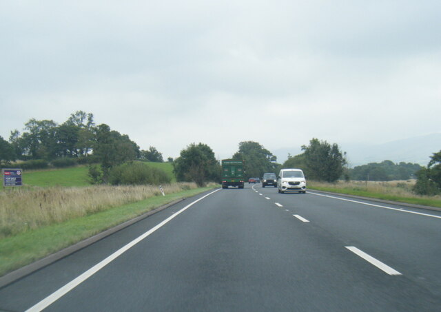
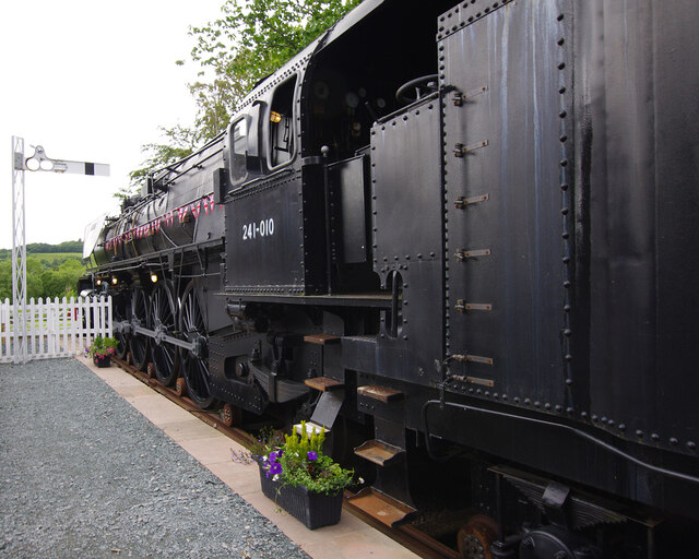
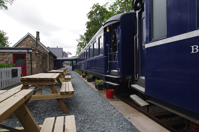
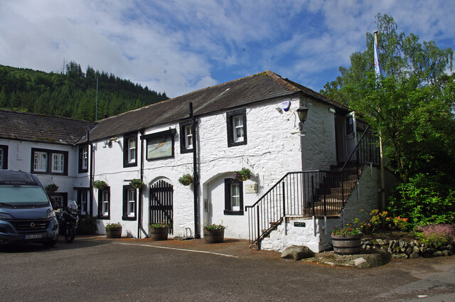
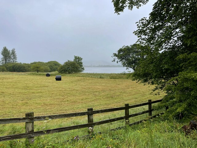
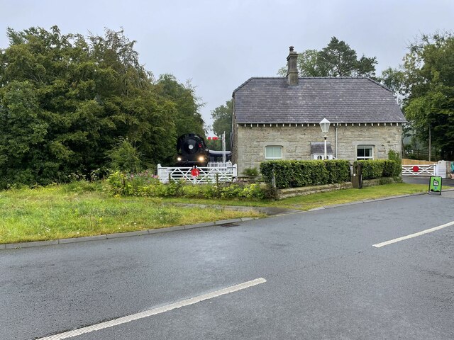
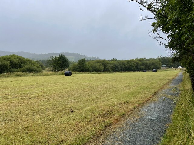
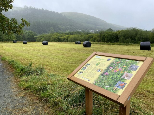
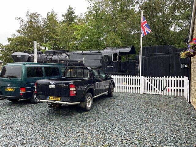
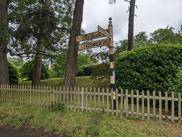
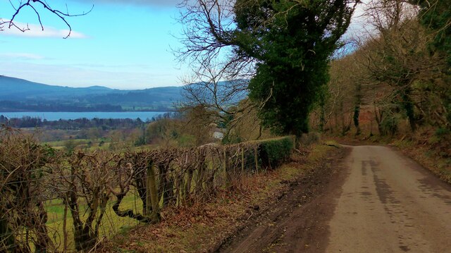
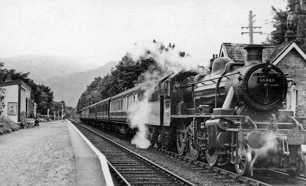
Ruddings Hill Images

Images are sourced within 2km of 54.67653/-3.2432226 or Grid Reference NY1931. Thanks to Geograph Open Source API. All images are credited.

A66 south of Brathay Hill
Orient Express, Bassenthwaite Lake A full size model steam locomotive built for the 2017 film version of Murder on the Orient Express, now on display at Bassenthwaite Lake station. The 'locomotive' appears to be supported by a set of small rusty trolley wheels. There is a small gap between the 'real' wheels and the track.
Orient Express, Bassenthwaite Lake
A full size model steam locomotive built for the 2017 film version of Murder on the Orient Express, now on display at Bassenthwaite Lake station. The 'locomotive' appears to be supported by a set of small rusty trolley wheels. There is a small gap between the 'real' wheels and the track.
Orient Express, Bassenthwaite Lake A full size model train built for the 2017 film version of Murder on the Orient Express, now on display at Bassenthwaite Lake station. It provides additional restaurant accommodation.
Orient Express, Bassenthwaite Lake
A full size model train built for the 2017 film version of Murder on the Orient Express, now on display at Bassenthwaite Lake station. It provides additional restaurant accommodation.
Former Bassenthwaite Lake station Bassenthwaite Lake station, originally on the Cockermouth, Keswick and Penrith Railway, closed in 1966. The station buildings later became a café. The railway theme was enhanced by the acquisition of the full size model steam train from the 2017 film version of Murder on the Orient Express (extreme left).
Former Bassenthwaite Lake station
Bassenthwaite Lake station, originally on the Cockermouth, Keswick and Penrith Railway, closed in 1966. The station buildings later became a café. The railway theme was enhanced by the acquisition of the full size model steam train from the 2017 film version of Murder on the Orient Express (extreme left).
Pheasant Inn, Bassenthwaite Grade II Listed Building - see <span class="nowrap"><a title="https://historicengland.org.uk/listing/the-list/list-entry/1475845?section=official-list-entry" rel="nofollow ugc noopener" href="https://historicengland.org.uk/listing/the-list/list-entry/1475845?section=official-list-entry">Link</a><img style="margin-left:2px;" alt="External link" title="External link - shift click to open in new window" src="https://s1.geograph.org.uk/img/external.png" width="10" height="10"/></span>
Pheasant Inn, Bassenthwaite
Grade II Listed Building - see LinkExternal link
Hay rolls in the field by the lake
Bassenthwaite Lake Station restaurant Dining is in the carriages behind the locomotive
Bassenthwaite Lake Station restaurant
Dining is in the carriages behind the locomotive
Footpath to Dubwath
Footpath to Dubwath
Hay meadow and information board
Steam engine at the Bassenthwaite Lake Station restaurant
Benchmark, Bassenthwaite Lake Station House Detail of the Ordnance Survey flush bracket benchmark on Bassenthwaite Lake Station House. The flush bracket, benchmark number S8026, faces south south west and marks a height of 73.462m above mean sea level (Ordnance Datum Newlyn), last levelled and verified in 1968.
This benchmark is shown with an incorrect grid reference on the Ordnance Survey database.
Benchmark, Bassenthwaite Lake Station House
Detail of the Ordnance Survey flush bracket benchmark on Bassenthwaite Lake Station House. The flush bracket, benchmark number S8026, faces south south west and marks a height of 73.462m above mean sea level (Ordnance Datum Newlyn), last levelled and verified in 1968. This benchmark is shown with an incorrect grid reference on the Ordnance Survey database.
Riggs Cottage Riggs Cottage with the lower slopes of Sale Fell in the background
Riggs Cottage
Riggs Cottage with the lower slopes of Sale Fell in the background
Road junction near the Pheasant Inn
Manicured woodland and a fine signpost Near the Pheasant Inn.
Manicured woodland and a fine signpost
Near the Pheasant Inn.
The road at Routenbeck, below Sale Fell
Benchmark, Routenbeck House, Routenbeck A very worn Ordnance Survey cut benchmark well concealed by lichens on the stone wall beside the gate of Routenbeck House.  The benchmark marks a height of 113.3978m above mean sea level (Ordnance Datum Newlyn) last verified in 1956 (location photograph <a href="https://www.geograph.org.uk/photo/7592003">NY1930 : Gateway, Routenbeck House</a>).
Benchmark, Routenbeck House, Routenbeck
A very worn Ordnance Survey cut benchmark well concealed by lichens on the stone wall beside the gate of Routenbeck House. The benchmark marks a height of 113.3978m above mean sea level (Ordnance Datum Newlyn) last verified in 1956 (location photograph NY1930 : Gateway, Routenbeck House).
Gateway, Routenbeck House The gateway of Routenbeck House, Routenbeck.  There is an Ordnance Survey cut benchmark facing the road on the corner of the wall beyond the gateway (detail photograph <a href="https://www.geograph.org.uk/photo/7591953">NY1930 : Benchmark, Routenbeck House, Routenbeck</a>).
Gateway, Routenbeck House
The gateway of Routenbeck House, Routenbeck. There is an Ordnance Survey cut benchmark facing the road on the corner of the wall beyond the gateway (detail photograph NY1930 : Benchmark, Routenbeck House, Routenbeck).
Routenbeck The minor road from Dubwath to Wythop Mill at Routenbeck.
Routenbeck
The minor road from Dubwath to Wythop Mill at Routenbeck.
Show me another place!

Ruddings Hill is located at Grid Ref: NY1931 (Lat: 54.67653, Lng: -3.2432226)

Administrative County: Cumbria

District: Allerdale

Police Authority: Cumbria

What 3 Words

///rezoning.scaffold.range. Near Cockermouth, Cumbria

Related Wikis

Dubwath

Dubwath is a hamlet in the Allerdale district, in Cumbria, England. It is part of the parish of Setmurthy. The population of this civil parish taken at...

Armathwaite Hall

Armathwaite Hall is a luxury hotel and spa adjacent to Bassenthwaite Lake, in Cumbria. == History == The present hall dates back to circa 1500; it was...

Bassenthwaite Lake railway station

Bassenthwaite Lake railway station was situated on the Cockermouth, Keswick and Penrith Railway between Penrith and Cockermouth in Cumbria, England. The...

Pheasant Inn, Bassenthwaite

The Pheasant Inn is a public house at The Pheasant Inn, Bassenthwaite, Cumbria CA13 9YE. It is Grade II listed.It is on the Campaign for Real Ale's National...

Routenbeck

Routenbeck is a hamlet in Cumbria, England. It is located at the northern foot of Sale Fell, near the north-west edge of Bassenthwaite Lake. Routenbeck...

Setmurthy

Setmurthy is a civil parish in Allerdale, Cumbria, England, historically part of Cumberland, within the Lake District National Park in England. In the...

Bassenfell Manor

Bassenfell Manor is a manor house in Bassenthwaite, Cumbria, overlooking Bassenthwaite Lake in England's Lake District. It is used as a Christian residential...

Sale Fell

Sale Fell is a small hill near Cockermouth in the English Lake District. It is popular with locals, as it offers gentle walking and lovely views across...

Nearby Amenities

Located within 500m of 54.67653,-3.2432226
Waste Basket
Source: survey
Lat/Long: 54.6759965/-3.2399562
Board Type: nature
Information: board
Source: survey
Tourism: information
Lat/Long: 54.6761021/-3.2401927
Waste Basket
Source: survey
Lat/Long: 54.6765453/-3.2404647
Board Type: nature
Information: board
Source: survey
Tourism: information
Lat/Long: 54.6766898/-3.2406992
Toilets
Access: customers
Toilets Disposal: flush
Lat/Long: 54.676557/-3.2490806
Restaurant
Lakes Distillery Restaurant
Name En: Lakes Distillery Restaurant
Lat/Long: 54.6765779/-3.2485894
Gift Shop
Shop: yes
Lat/Long: 54.6764868/-3.2491292
Post Box
Ref: CA13 132
Lat/Long: 54.6762939/-3.2485593
Note: Pitch 1
Lat/Long: 54.6805414/-3.2409142
Bus Stop
Bearing: W
Source: gps
Lat/Long: 54.6764163/-3.2478733
Ruddings hill
Ele: 93
Natural: peak
Lat/Long: 54.6764203/-3.2432061
The Ruddings
Place: hamlet
Lat/Long: 54.6758064/-3.2475664
Barkhouse
Place: locality
Lat/Long: 54.676996/-3.2485983
Banks Point
Place: locality
Lat/Long: 54.675134/-3.2391346
Fixme: Path continues, I know not where
Lat/Long: 54.6752481/-3.239735
Power: pole
Lat/Long: 54.6729342/-3.2450923
Power: pole
Lat/Long: 54.674219/-3.2452287
Power: pole
Lat/Long: 54.6749791/-3.2453114
Power: pole
Lat/Long: 54.6757941/-3.2453879
Power: pole
Lat/Long: 54.6771924/-3.2455346
Power: pole
Lat/Long: 54.6780779/-3.2454209
Power: pole
Lat/Long: 54.6799648/-3.2448587
Power: pole
Lat/Long: 54.6809506/-3.2445714
Power: pole
Lat/Long: 54.6746755/-3.2464089
Power: pole
Lat/Long: 54.6750329/-3.2473122
The data included in this document is from www.openstreetmap.org. The data is made available under ODbL.

Have you been to Ruddings Hill?

Leave your review of Ruddings Hill below (or comments, questions and feedback).