Clamieduff Hill
Hill, Mountain in Fife
Scotland
Clamieduff Hill
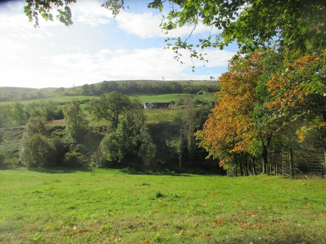
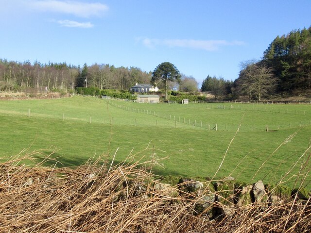
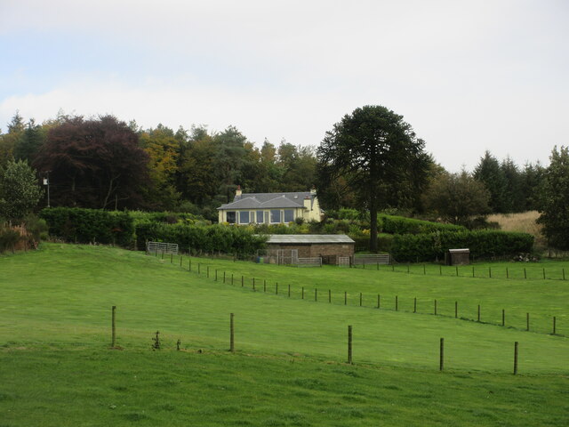
Clamieduff Hill is a prominent hill located in the county of Fife, Scotland. It is situated near the village of Auchtermuchty and stands at an elevation of approximately 278 meters (912 feet). The hill is known for its picturesque views of the surrounding countryside and its rich natural biodiversity.
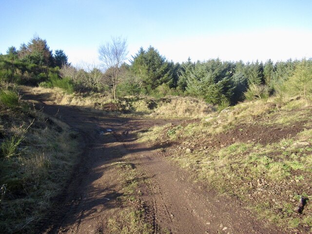
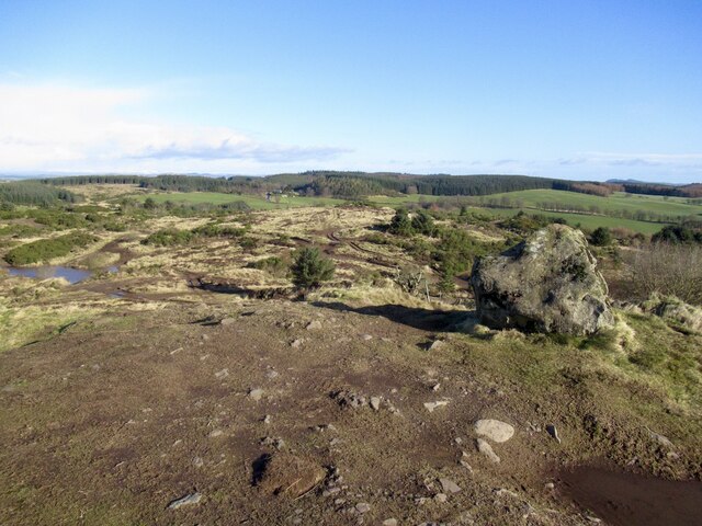
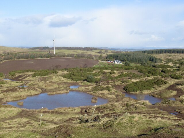
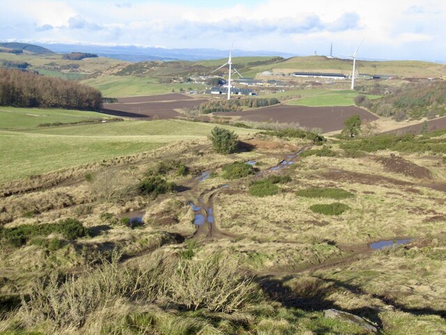
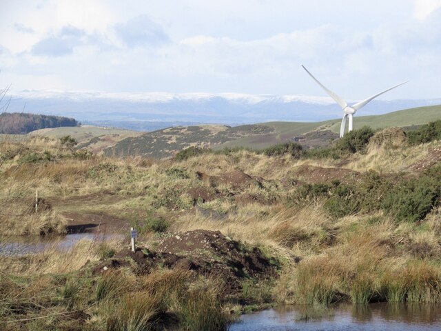
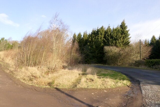
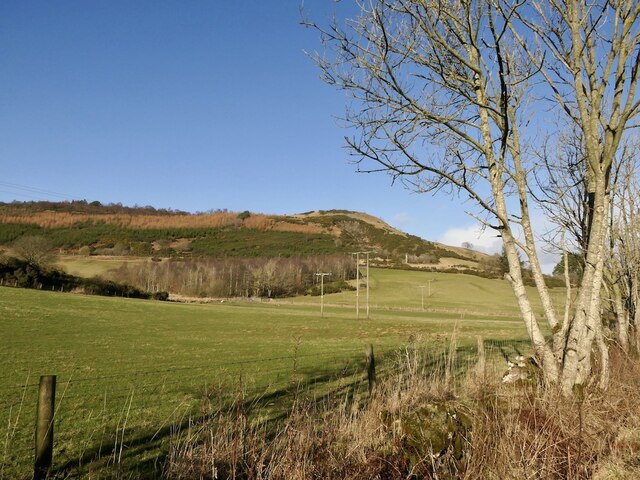
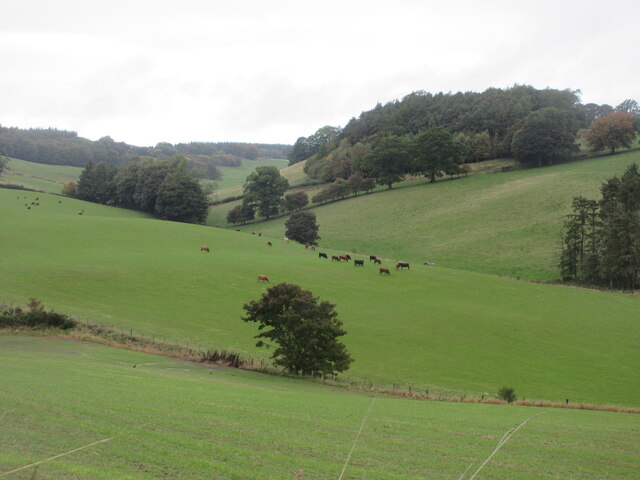
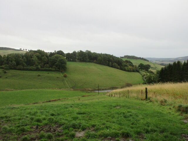
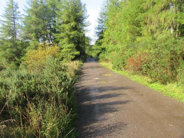
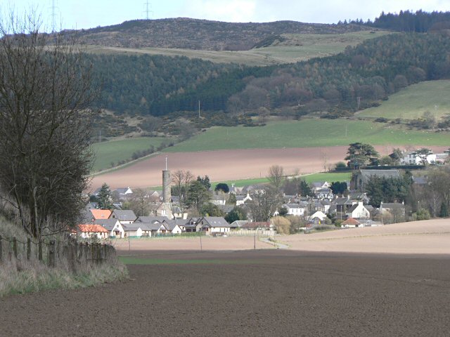
Clamieduff Hill is a popular destination for hikers and nature enthusiasts due to its relatively easy ascent and well-maintained walking trails. The hill offers stunning panoramic views of the Fife countryside, with rolling green fields, woodlands, and distant hills visible from its summit.
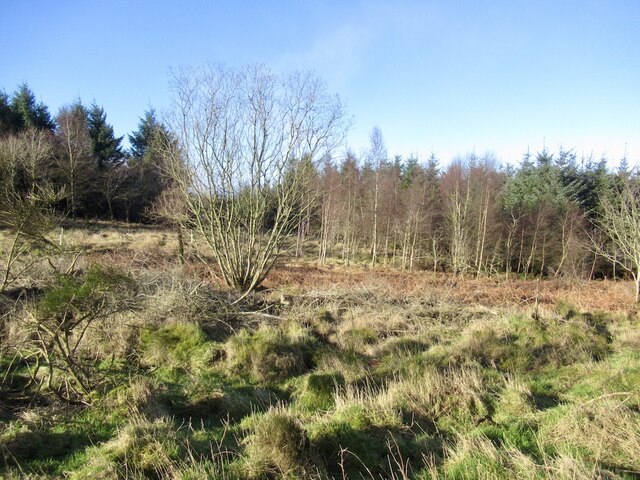
The vegetation on Clamieduff Hill is diverse, featuring a mix of grasslands, heathland, and patches of dense woodland. This variety of habitats supports a wide range of plant and animal species, including several rare and protected species. Birdwatchers often visit the hill to spot various avian species, such as buzzards, kestrels, and red kites.
Archaeological evidence suggests that Clamieduff Hill has been inhabited since prehistoric times. There are remnants of ancient settlements and stone circles on its slopes, indicating human activity in the area dating back thousands of years.
Overall, Clamieduff Hill in Fife offers not only a beautiful natural landscape but also a glimpse into the region's rich historical and cultural heritage. Whether for leisurely walks, birdwatching, or exploring ancient ruins, this hill provides a captivating experience for visitors of all interests.
If you have any feedback on the listing, please let us know in the comments section below.
Clamieduff Hill Images
Images are sourced within 2km of 56.30837/-3.2972114 or Grid Reference NO1913. Thanks to Geograph Open Source API. All images are credited.


Clamieduff Hill is located at Grid Ref: NO1913 (Lat: 56.30837, Lng: -3.2972114)
Unitary Authority: Fife
Police Authority: Fife
What 3 Words
///podcast.argued.soaks. Near Abernethy, Perth & Kinross
Nearby Locations
Related Wikis

Abernethy Round Tower
The Abernethy Round Tower is a stone-built Irish-style round tower which stands in School Wynd, at the edge of the village cemetery, in Abernethy, Perth...
Abernethy, Perth and Kinross
Abernethy (Scottish Gaelic: Obar Neithich) is a village in Perth and Kinross, Scotland, situated 8 miles (13 km) south-east of Perth. == Etymology == Abernethy...
Abernethy railway station
Abernethy railway station served the village of Abernethy, in Scotland. == History == Initially Abernethy Road opened concurrently with the Edinburgh and...

Balvaird Castle
Balvaird Castle in Perthshire is a traditional late medieval Scottish tower house. It is located in the Ochil Hills, around 5 kilometres (3.1 mi) south...

Strathmiglo railway station
Strathmiglo railway station served the village of Strathmiglo, Fife, Scotland from 1857 to 1950 on the Fife and Kinross Railway. == History == The station...

Strathmiglo Town House
Strathmiglo Town House is a municipal structure in the High Street, Strathmiglo, Fife, Scotland. The structure, which is now disused, is a Category A listed...

Bein Inn
The Bein Inn (commonly known as the Famous Bein Inn) is an historic building in Glenfarg, Perth and Kinross, Scotland. A "noted hostelry," according to...
Strathmiglo
Strathmiglo (Scottish Gaelic: Srath Mioglach) (Ordnance Survey grid reference NO214101) is a village and parish in Fife, Scotland on the River Eden. It...
Nearby Amenities
Located within 500m of 56.30837,-3.2972114Have you been to Clamieduff Hill?
Leave your review of Clamieduff Hill below (or comments, questions and feedback).