Howford

Settlement in Peeblesshire

Scotland

Howford

Forest track crossing the Highlandshiels Burn On the track south from Kirkburn car park.
Forest track crossing the Highlandshiels Burn Credit: Jim Barton

Howford is a small village located in the historic county of Peeblesshire, Scotland. Situated in the beautiful Tweed Valley, it is nestled between the towns of Innerleithen and Peebles. With its picturesque surroundings and tranquil ambiance, Howford offers a peaceful retreat from the hustle and bustle of city life.

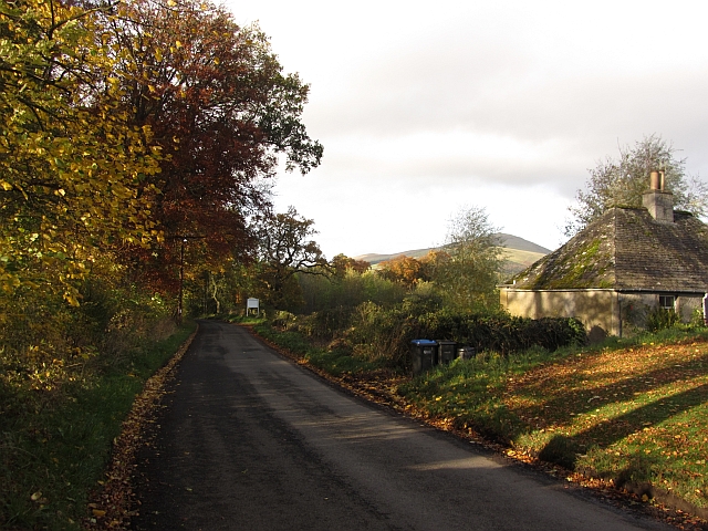
The village is primarily residential, consisting of a small number of houses and cottages. The architecture reflects the traditional Scottish style, with many buildings made of local stone and featuring charming details such as slate roofs and wooden accents.

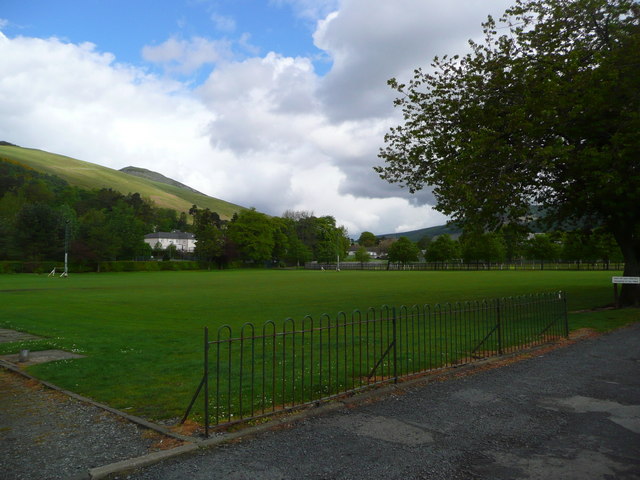
Despite its small size, Howford benefits from its proximity to larger towns, providing residents with convenient access to amenities and services. The nearby town of Peebles offers a range of shops, supermarkets, restaurants, and leisure facilities. There are also primary and secondary schools within a short distance, making the village an appealing choice for families with children.

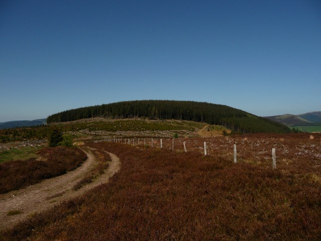
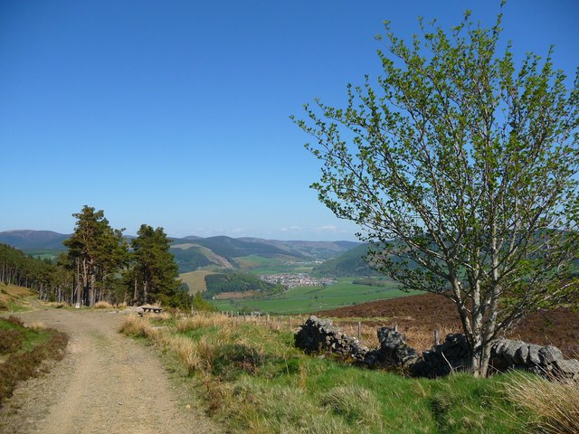
Nature enthusiasts will find plenty to explore in the surrounding area. The enchanting Tweed Valley Forest Park is nearby, offering opportunities for hiking, cycling, and wildlife spotting. The River Tweed, renowned for its fishing, is also easily accessible, attracting anglers from far and wide.

Overall, Howford's charm lies in its idyllic setting, quiet atmosphere, and the natural beauty that surrounds it. It is a place where residents can enjoy a slower pace of life while still having access to essential amenities and the stunning Scottish countryside.

If you have any feedback on the listing, please let us know in the comments section below.
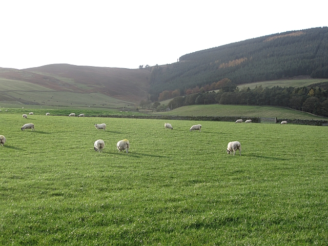
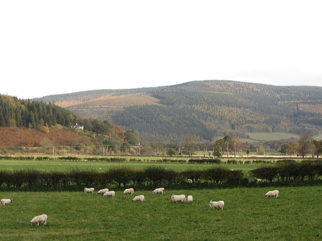
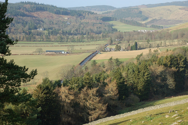
Howford Images

Images are sourced within 2km of 55.612683/-3.0969626 or Grid Reference NT3136. Thanks to Geograph Open Source API. All images are credited.

Forest track crossing the Highlandshiels Burn On the track south from Kirkburn car park.
Forest track crossing the Highlandshiels Burn
On the track south from Kirkburn car park.
Overgrown path, Cardrona Forest A signpost 'Cardrona Peebles' points to a path into the plantation to the west of the Highlandshiels Burn. The path looks very little used and is not marked on the 1:25,000 map.
Overgrown path, Cardrona Forest
A signpost 'Cardrona Peebles' points to a path into the plantation to the west of the Highlandshiels Burn. The path looks very little used and is not marked on the 1:25,000 map.
Footbridge over the Highlandshiels Burn, Cardrona Forest The bridge is situated at the start of a footpath up to a higher level forest road. The sign reads 'The Glen via Orchard Rig and the Birks'.
Footbridge over the Highlandshiels Burn, Cardrona Forest
The bridge is situated at the start of a footpath up to a higher level forest road. The sign reads 'The Glen via Orchard Rig and the Birks'.
Path in Cardrona Forest The path climbing up from Highlandshiels Burn. The GPS location here differs from the more direct path line shown on the 1:25,000 map.
Path in Cardrona Forest
The path climbing up from Highlandshiels Burn. The GPS location here differs from the more direct path line shown on the 1:25,000 map.
Open forest, Cardrona Scots pines in an area of open woodland, a nice contrast to the denser plantations.
Open forest, Cardrona
Scots pines in an area of open woodland, a nice contrast to the denser plantations.
Woodland path, Cardrona Forest The path up from the Highlandshiels Burn to the forest edge at the ridge on Beards Hill.
Woodland path, Cardrona Forest
The path up from the Highlandshiels Burn to the forest edge at the ridge on Beards Hill.
Road junction, Cardrona Forest A junction above the Glenpeggy Burn.
Road junction, Cardrona Forest
A junction above the Glenpeggy Burn.
Old quarry, Cardrona Forest An oval space off the forest road, partly overgrown and no obvious rock face is evident.
Old quarry, Cardrona Forest
An oval space off the forest road, partly overgrown and no obvious rock face is evident.
Wallace's Hill At an altitude of 460 metres Wallace's Hill is in Cardrona Forest.  The name presumably refers to the exploits of the great Scottish patriot Sir William Wallace,(1270 - 1305) who was active in the area. There are many interesting walks in the forest which is  owned by the Forestry Commission
Wallace's Hill
At an altitude of 460 metres Wallace's Hill is in Cardrona Forest. The name presumably refers to the exploits of the great Scottish patriot Sir William Wallace,(1270 - 1305) who was active in the area. There are many interesting walks in the forest which is owned by the Forestry Commission
Castle Knowe This is the site of the iron age fort of Castle Knowe in Cardrona Forest. It covers a large area, perhaps 100 yards by 50 yards. As can be seen much of the old stonework has been re-used to build sheep fanks although vast sections of the ruined walls remain
Castle Knowe
This is the site of the iron age fort of Castle Knowe in Cardrona Forest. It covers a large area, perhaps 100 yards by 50 yards. As can be seen much of the old stonework has been re-used to build sheep fanks although vast sections of the ruined walls remain
Forest walk Forest walk in Cardrona Forest with view over Tweed Valley to Peebles some 4 or 5 miles distant. Cardrona Forest which is owned by the Forestry Commission has many fine forest walks. It is also a haven for a great variety of wildlife including the recent welcome return of nesting Ospreys.
Forest walk
Forest walk in Cardrona Forest with view over Tweed Valley to Peebles some 4 or 5 miles distant. Cardrona Forest which is owned by the Forestry Commission has many fine forest walks. It is also a haven for a great variety of wildlife including the recent welcome return of nesting Ospreys.
Playing fields at Innerleithen
B7062, Traquair Outside the famous shut gate - The Steekit Yetts  <a href="https://www.geograph.org.uk/photo/4678">NT3235 : The Steekit Yetts</a>. This road is a quiet and narrow alternative to the A72 on the other side of the Tweed.
B7062, Traquair
Outside the famous shut gate - The Steekit Yetts NT3235 : The Steekit Yetts. This road is a quiet and narrow alternative to the A72 on the other side of the Tweed.
Sheep below Grieston Hill Good grazing in Tweeddale.
Sheep below Grieston Hill
Good grazing in Tweeddale.
Sheep in Tweeddale Grazing the floodplain at Howford.
Sheep in Tweeddale
Grazing the floodplain at Howford.
River Tweed Just downstream of Cardrona.
River Tweed
Just downstream of Cardrona.
Northwest from Caerlee Hill The A72 heading up towards Peebles along the Tweed Valley with the wooded slopes above Cardrona ahead and Glentress Forest beyond.
Northwest from Caerlee Hill
The A72 heading up towards Peebles along the Tweed Valley with the wooded slopes above Cardrona ahead and Glentress Forest beyond.
Track north of Caerlee Hill A track up to March Wood on the ridge of Lee Pen. The plantation to the right is not shown on the 1:25,000 map.
Track north of Caerlee Hill
A track up to March Wood on the ridge of Lee Pen. The plantation to the right is not shown on the 1:25,000 map.
Show me another place!

Howford is located at Grid Ref: NT3136 (Lat: 55.612683, Lng: -3.0969626)

Unitary Authority: The Scottish Borders

Police Authority: The Lothians and Scottish Borders

What 3 Words

///jogged.bead.indoor. Near Innerleithen, Scottish Borders

Related Wikis

Cardrona Forest

The Cardrona Forest is a forest in the Scottish Borders area of Scotland, on the B7062, near Peebles. OS Grid Reference: NT292385. Cardrona Forest consists...

Leithen Water

Leithen Water (Scottish Gaelic: Leitheann / Abhainn Leitheinn) is a tributary of the River Tweed in Scotland. It rises in the Moorfoot Hills and joins...

Traquair House

Traquair House, approximately 7 miles southeast of Peebles, is claimed to be the oldest continually inhabited house in Scotland. Whilst not strictly a...

Innerleithen railway station

Innerleithen railway station served the town of Innerleithen, Scottish Borders, Scotland from 1864 to 1962 on the Peebles Railway. == History == The station...

Nearby Amenities

Located within 500m of 55.612683,-3.0969626
Power: pole
Lat/Long: 55.6116407/-3.0901425
Power: pole
Lat/Long: 55.6120015/-3.089436
The data included in this document is from www.openstreetmap.org. The data is made available under ODbL.

Have you been to Howford?

Leave your review of Howford below (or comments, questions and feedback).