Howell

Settlement in Lincolnshire North Kesteven

England

Howell

Cottages in Ewerby Thorpe
Cottages in Ewerby Thorpe Credit: Chris

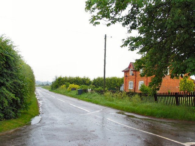
Howell is a small village located in the county of Lincolnshire, England. Situated approximately 10 miles northeast of the city of Lincoln, Howell is nestled amidst the picturesque countryside of the Lincolnshire Wolds, an Area of Outstanding Natural Beauty.

The village is known for its tranquil and idyllic setting, with rolling hills, lush green fields, and charming country lanes. It offers a peaceful escape from the hustle and bustle of city life, attracting visitors who seek a rural retreat.

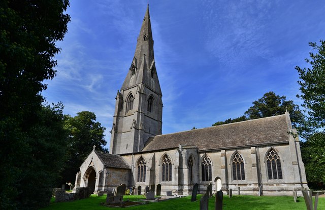
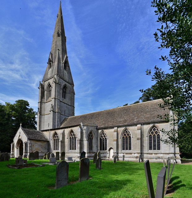
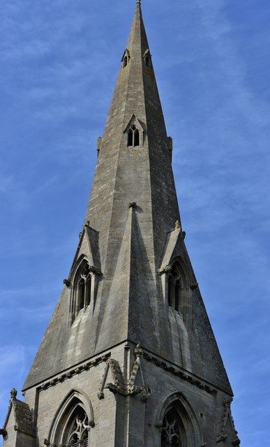
Howell boasts a close-knit community, where residents take pride in their village and its heritage. The village is home to a historic church, St. Mary's, which dates back to the 12th century and is a prominent landmark in the area. The church's architecture showcases the rich history of Howell and provides a glimpse into the past.

While Howell may be small, it offers basic amenities to its residents and visitors. There is a local pub, The Red Lion, where locals gather for a pint or a hearty meal. The village also has a primary school, ensuring that families have access to education within the community.

For those looking to explore the surrounding area, Howell provides easy access to the Lincolnshire Wolds, offering opportunities for hiking, cycling, and nature walks. The nearby city of Lincoln offers a range of cultural attractions, including the iconic Lincoln Cathedral and the medieval Lincoln Castle.

In summary, Howell is a charming village nestled in the Lincolnshire Wolds, known for its natural beauty and historical landmarks. It provides a peaceful and picturesque setting for both residents and visitors alike.

If you have any feedback on the listing, please let us know in the comments section below.
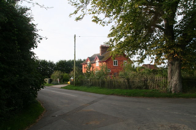
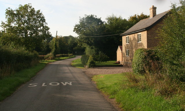
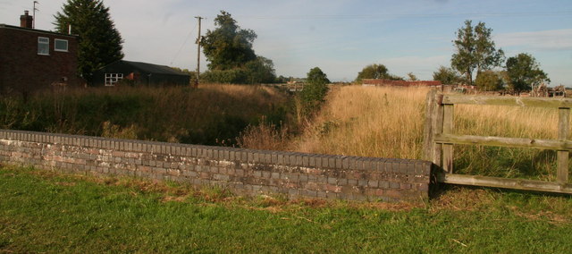
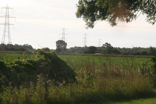
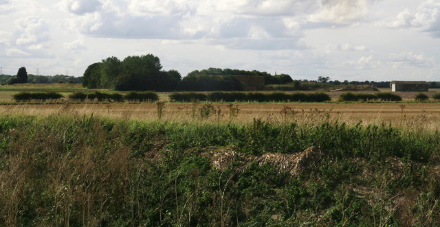
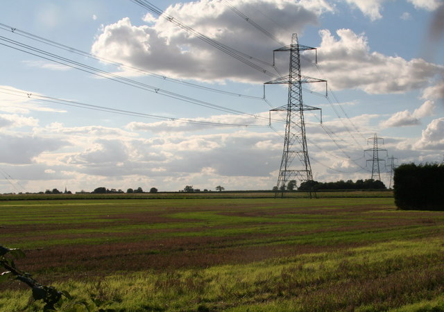
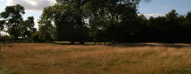
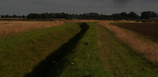
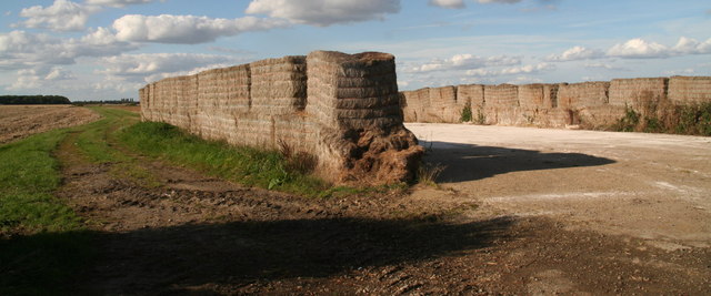
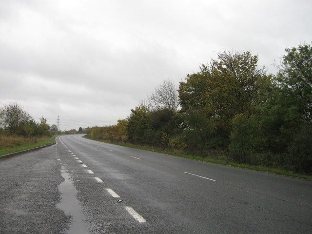
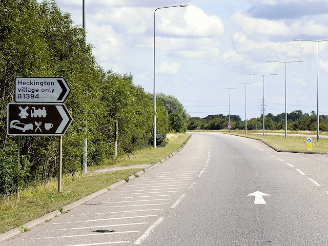
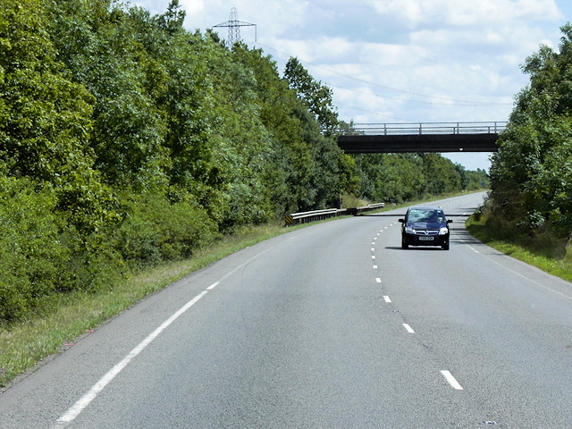
Howell Images

Images are sourced within 2km of 53.002841/-0.309409 or Grid Reference TF1346. Thanks to Geograph Open Source API. All images are credited.

Cottages in Ewerby Thorpe
Cottage in Howell
Cottage in Howell
Washdike Bridge between Howell and Heckington
Pylons passing from the road southwards from Howell Near Red Roof Farm.
The pylons pass south east of Heckington.
Pylons passing from the road southwards from Howell
Near Red Roof Farm. The pylons pass south east of Heckington.
Walks Farm across Heckington Eau
Pylons passing SW of Howell, towards Boughton Plantation
Paddock by Manor Farm, Howell Ridge and furrow field.
Paddock by Manor Farm, Howell
Ridge and furrow field.
View from Howell Fen Drove towards Bicker Fen Windfarm The turning blades draw the eye, even at a distance of 9k. And another windfarm has been approved only 7k away on Heckington Fen.
View from Howell Fen Drove towards Bicker Fen Windfarm
The turning blades draw the eye, even at a distance of 9k. And another windfarm has been approved only 7k away on Heckington Fen.
Straw stackyard off Howell Fen Road
A17 lay-by
A17 lay-by
Heckington Bypass, Turnoff for the Village This 2½ mile section of the A17 forms the Heckington Bypass. It has short dual carriageway sections at each end. The bypass was opened in December 1982; it follows the former route of the B1394.
Heckington Bypass, Turnoff for the Village
This 2½ mile section of the A17 forms the Heckington Bypass. It has short dual carriageway sections at each end. The bypass was opened in December 1982; it follows the former route of the B1394.
Layby on Heckington Bypass This 2½ mile section of the A17 forms the Heckington Bypass. It has short dual carriageway sections at each end but the part between them is single carriageway. The bypass was opened in December 1982; it follows the former route of the B1394.
Layby on Heckington Bypass
This 2½ mile section of the A17 forms the Heckington Bypass. It has short dual carriageway sections at each end but the part between them is single carriageway. The bypass was opened in December 1982; it follows the former route of the B1394.
Bridge (Littleworth Drove) over the Heckington Bypass This 2½ mile section of the A17 forms the Heckington Bypass. It has short dual carriageway sections at each end but the part between them is single carriageway. The bypass was opened in December 1982; it follows the former route of the B1394.
Bridge (Littleworth Drove) over the Heckington Bypass
This 2½ mile section of the A17 forms the Heckington Bypass. It has short dual carriageway sections at each end but the part between them is single carriageway. The bypass was opened in December 1982; it follows the former route of the B1394.
Ewerby: St. Andrew's Church
Ewerby, St. Andrew's Church: The spire, its long broaches rising direct from the walls
Ewerby, St. Andrew's Church: The south doorway with carved foliage around it
Cut Mark: Ewerby, St Andrew's Church Cut bench mark on the north-west angle.  See <a title="https://www.geograph.org.uk/photo/5530040" href="https://www.geograph.org.uk/photo/5530040">Link</a> for a wider view and <span class="nowrap"><a title="http://www.bench-marks.org.uk/bm53211" rel="nofollow ugc noopener" href="http://www.bench-marks.org.uk/bm53211">Link</a><img style="margin-left:2px;" alt="External link" title="External link - shift click to open in new window" src="https://s1.geograph.org.uk/img/external.png" width="10" height="10"/></span> for details.
Cut Mark: Ewerby, St Andrew's Church
Cut bench mark on the north-west angle. See Link for a wider view and LinkExternal link for details.
Show me another place!

Howell is located at Grid Ref: TF1346 (Lat: 53.002841, Lng: -0.309409)

Division: Parts of Kesteven

Administrative County: Lincolnshire

District: North Kesteven

Police Authority: Lincolnshire

What 3 Words

///excuse.acting.clarifies. Near Heckington, Lincolnshire

Nearby Locations

Howell

Related Wikis

Howell, Lincolnshire

Howell is a village in the civil parish of Asgarby and Howell, in the North Kesteven district of Lincolnshire, England, approximately 1 mile (1.6 km) north...

Asgarby and Howell

Asgarby and Howell is a civil parish in the North Kesteven district of Lincolnshire, England, consisting of the villages of Asgarby and Howell. According...

Ewerby Thorpe

Ewerby Thorpe is a hamlet in the civil parish of Ewerby and Evedon, in the North Kesteven district of Lincolnshire, England. It lies 2 miles (3.2 km) north...

Boughton, Lincolnshire

Boughton is a hamlet in Lincolnshire, England. It is in the civil parish of Asgarby and Howell. == External links == Media related to Boughton, Lincolnshire...

Nearby Amenities

Located within 500m of 53.002841,-0.309409
Howell
Is In: Lincolnshire, England, UK
Place: hamlet
Source: NPE
Lat/Long: 53.0017864/-0.3088696
Bus Stop
Asgarby Lane End
Naptan AtcoCode: 2700LHAL6641
Naptan Bearing: SE
Naptan CommonName: Asgarby Lane End
Naptan Indicator: opp
Naptan Landmark: Asgarby Lane End
Naptan NaptanCode: lingdtgj
Naptan Street: Heckington Road
Naptan Verified: no
Source: naptan_import
Lat/Long: 53.0005373/-0.3087145
Bus Stop
Asgarby Lane End
Naptan AtcoCode: 2700LHSO1611
Naptan Bearing: NW
Naptan CommonName: Asgarby Lane End
Naptan Indicator: adj
Naptan Landmark: Asgarby Lane End
Naptan NaptanCode: linamdta
Naptan Street: Heckington Road
Naptan Verified: no
Source: naptan_import
Lat/Long: 53.0006485/-0.3089486
Archaeological Site: fortification
Historic: archaeological_site
Source: Bing
Lat/Long: 53.0026182/-0.3061663
The data included in this document is from www.openstreetmap.org. The data is made available under ODbL.

Have you been to Howell?

Leave your review of Howell below (or comments, questions and feedback).