Black Rig
Hill, Mountain in Peeblesshire
Scotland
Black Rig
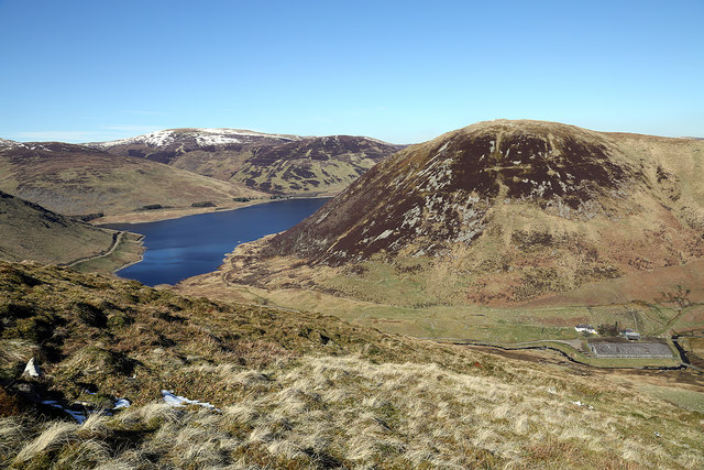
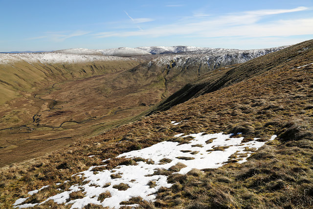
Black Rig is a prominent hill located in Peeblesshire, Scotland. It is situated approximately 15 miles southeast of the town of Peebles and is part of the broader Moorfoot Hills range. Standing at a height of 570 meters (1,870 feet), Black Rig offers breathtaking panoramic views of the surrounding landscape.
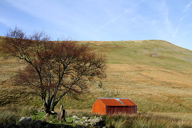
The hill is characterized by its distinctive conical shape, and its slopes are covered in heather and grass, providing a picturesque and serene setting for visitors. Access to Black Rig is relatively straightforward, with several footpaths and trails leading to its summit. These paths can be accessed from nearby villages such as Eddleston and Oxton.
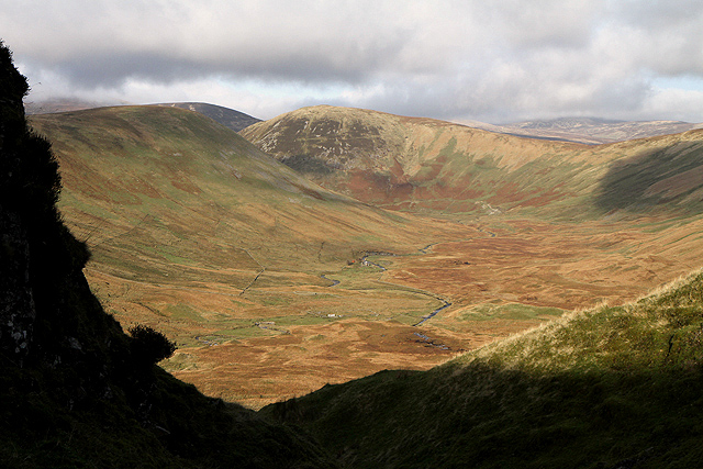
Black Rig is a popular destination for hikers, walkers, and nature enthusiasts due to its accessibility and stunning vistas. On a clear day, the hill offers sweeping views of the surrounding countryside, including the rolling green hills of Peeblesshire, the Tweed Valley, and the distant peaks of the Scottish Borders.
Wildlife is abundant in the area, with sightings of native species such as red grouse, mountain hares, and various bird species being common. The hill also boasts a rich history, with evidence of ancient settlements and burial mounds found in the vicinity.
Overall, Black Rig is a must-visit destination for those seeking outdoor adventures, stunning natural beauty, and a glimpse into Scotland's rich history.
If you have any feedback on the listing, please let us know in the comments section below.
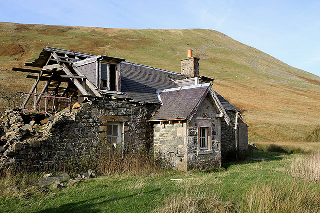
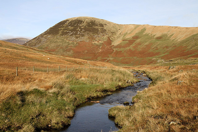
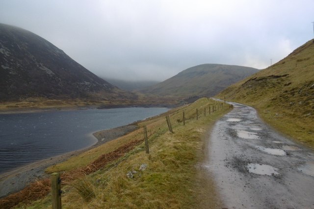
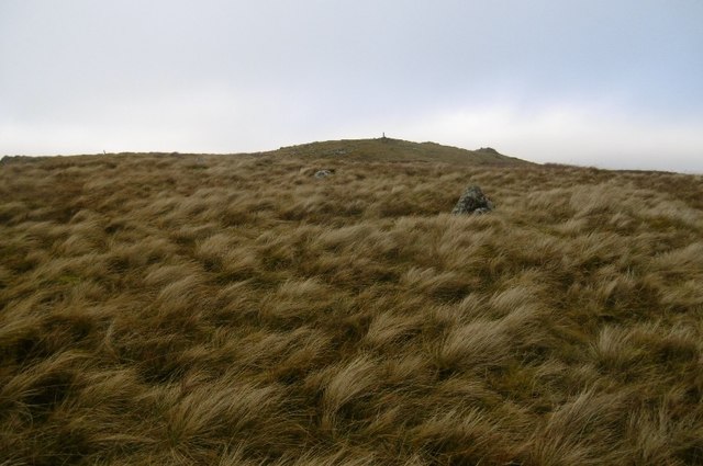
Black Rig Images
Images are sourced within 2km of 55.466714/-3.2768948 or Grid Reference NT1919. Thanks to Geograph Open Source API. All images are credited.


Black Rig is located at Grid Ref: NT1919 (Lat: 55.466714, Lng: -3.2768948)
Unitary Authority: The Scottish Borders
Police Authority: The Lothians and Scottish Borders
What 3 Words
///permit.vegans.coining. Near Ettrick, Scottish Borders
Nearby Locations
Related Wikis

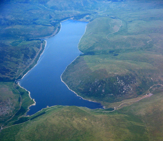
Megget Reservoir
Megget Reservoir is an impounding reservoir in the Megget valley in Ettrick Forest, in the Scottish Borders. The 259 hectares (640 acres) reservoir is...

Megget
Megget is a former chapelry or parish containing the valley of Megget Water, now forming the westernmost part of the parish of Yarrow, Selkirkshire in...

Craigierig
Craigierig is a village on the Megget Reservoir, in the Scottish Borders area of Scotland, in the former Selkirkshire. Places nearby include the Glengaber...

Dob's Linn
Dob's Linn is a small steep valley in Dumfries and Galloway, just north of the A708 road between Moffat and Selkirk, in Scotland. It is part of the Grey...
Have you been to Black Rig?
Leave your review of Black Rig below (or comments, questions and feedback).