Broad Moss
Hill, Mountain in Perthshire
Scotland
Broad Moss

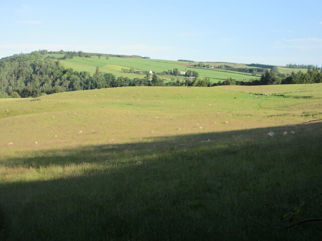
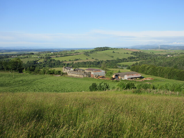
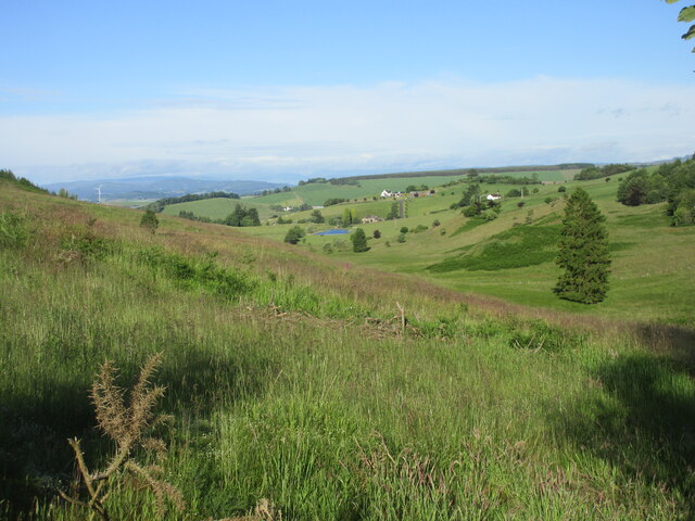
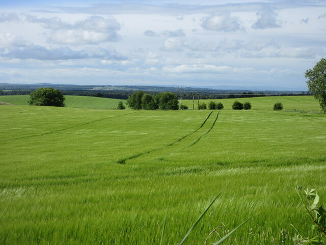
Broad Moss is a picturesque hill located in the region of Perthshire, Scotland. It is part of the larger Perthshire Hills and offers breathtaking views of the surrounding landscapes. Standing at an elevation of approximately 700 meters, Broad Moss is a popular destination for hikers and outdoor enthusiasts.
The hill is characterized by its diverse vegetation, ranging from heather-covered moorland to patches of dense woodland. This variety of habitats supports a wide array of flora and fauna, making it an ideal spot for nature lovers. The area is particularly known for its vibrant wildflowers, including purple heather and yellow gorse, which create a beautiful tapestry of colors during the summer months.
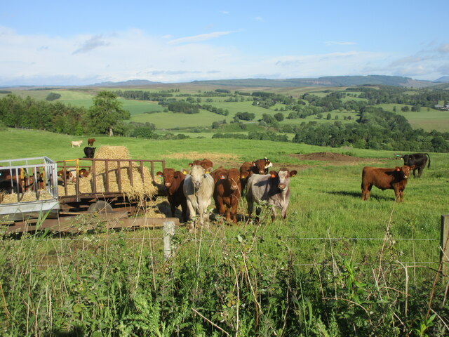
Broad Moss is also home to several species of wildlife, including red deer, mountain hares, and various bird species. Birdwatchers can spot species such as red grouse, golden eagles, and peregrine falcons soaring through the skies above.
The hill offers several hiking trails, catering to different levels of difficulty and providing opportunities for both experienced climbers and casual walkers. The most popular route to the summit takes visitors through a mixture of grassy slopes, rocky terrain, and narrow paths, providing a challenging yet rewarding ascent.
Reaching the top of Broad Moss rewards visitors with unparalleled views of the surrounding Perthshire countryside, including the sprawling Loch Tay and the distant peaks of the Grampian Mountains. On a clear day, the panoramic vistas stretch as far as the eye can see, creating a truly awe-inspiring experience.
In summary, Broad Moss is a stunning hill in Perthshire, offering a diverse range of flora and fauna, breathtaking views, and an array of hiking opportunities for all levels of outdoor enthusiasts.
If you have any feedback on the listing, please let us know in the comments section below.
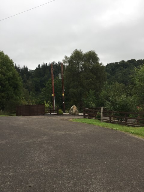
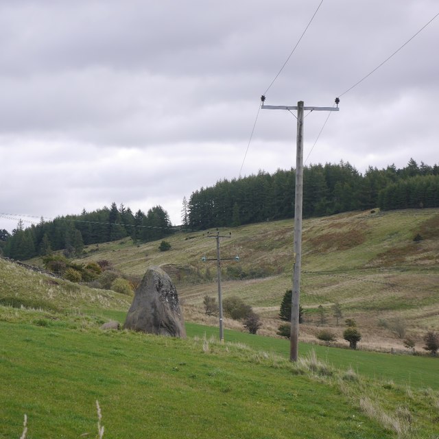
Broad Moss Images
Images are sourced within 2km of 56.616216/-3.3181154 or Grid Reference NO1947. Thanks to Geograph Open Source API. All images are credited.


Broad Moss is located at Grid Ref: NO1947 (Lat: 56.616216, Lng: -3.3181154)
Unitary Authority: Perth and Kinross
Police Authority: Tayside
What 3 Words
///excavated.clash.inventors. Near Blairgowrie, Perth & Kinross
Nearby Locations
Related Wikis

Blairgowrie F.C.
Blairgowrie Junior Football Club is a Scottish Junior football club based in Blairgowrie and Rattray, Perth and Kinross. Their home ground is Davie Park...
Blairgowrie and Rattray
Blairgowrie and Rattray ( ) is a twin burgh in Perth and Kinross, Scotland. Locals refer to the town as "Blair". Blairgowrie is the larger of the two former...

Blairgowrie railway station
Blairgowrie railway station served the burgh of Blairgowrie and Rattray, Perth and Kinross, Scotland from 1855 to 1955 on the Scottish Midland Junction...

Newton Castle
Newton Castle stands in its grounds near the town of Blairgowrie in Perth and Kinross, Scotland. It is a Category A listed building dating to the mid-16th...

Blairgowrie Community Hospital
Blairgowrie Community Hospital is a health facility in Perth Road, Blairgowrie and Rattray, Scotland. It is managed by NHS Tayside. == History == The first...

Blairgowrie High School
Blairgowrie High School is a high school in Blairgowrie, Scotland. Blairgowrie High School has 719 students (as of September census) from Blairgowrie and...

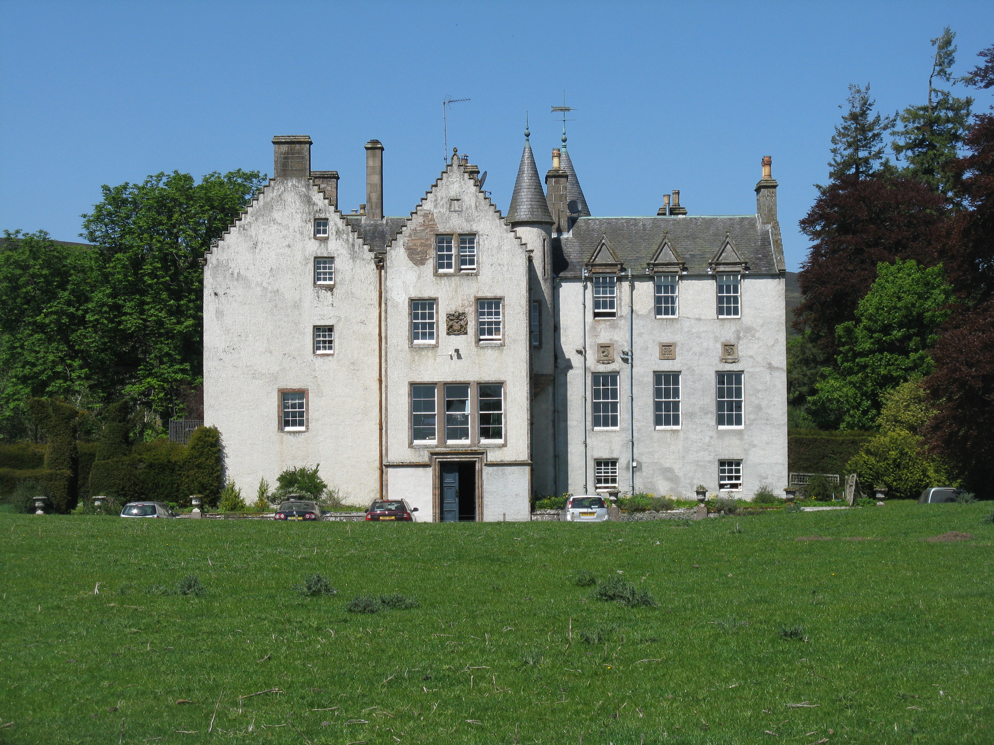
Ardblair Castle
Ardblair Castle is an L-plan castle (with an added wing), dating from the 16th century, around 0.75 miles (1.21 km) west of Blairgowrie in Perth and Kinross...
Bamff
Bamff House is the home of the Ramsays of Bamff, and is located within a 1,300-acre (5.3 km2) estate in Perthshire, Scotland. Bamff House began as a fortified...
Nearby Amenities
Located within 500m of 56.616216,-3.3181154Have you been to Broad Moss?
Leave your review of Broad Moss below (or comments, questions and feedback).