Broomy Knowe

Hill, Mountain in Perthshire

Scotland

Broomy Knowe

The Green, Burrelton
The Green, Burrelton Credit: Bartolo Creations

Broomy Knowe is a prominent hill located in the county of Perthshire, Scotland. It is situated near the picturesque village of Comrie, which lies about 7 miles west of the town of Crieff. Standing at an elevation of approximately 1,210 feet (369 meters), Broomy Knowe is often regarded as a mountain due to its impressive height and scenic surroundings.

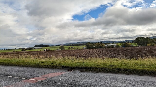
The hill features a distinctive conical shape, with a gentle grassy slope that gradually steepens towards the summit. It is mainly composed of granite, which adds to its rugged appearance. Broomy Knowe is known for its captivating panoramic views of the surrounding countryside, including the rolling hills of Perthshire, the River Earn, and the nearby mountains of Ben Chonzie and Schiehallion.

The area around Broomy Knowe is rich in wildlife, with various species of birds, mammals, and plant life found throughout the hillside. Walkers and hikers are often drawn to Broomy Knowe, as it offers several well-marked trails that cater to different levels of fitness and experience. These paths provide an opportunity to explore the diverse flora and fauna of the area while enjoying the breathtaking vistas along the way.

Broomy Knowe is a popular spot for outdoor enthusiasts and nature lovers, offering a tranquil and serene setting away from the hustle and bustle of city life. Whether it's a leisurely stroll or a challenging hike, this hill/mountain provides an unforgettable experience for visitors seeking to immerse themselves in the natural beauty of Perthshire.

If you have any feedback on the listing, please let us know in the comments section below.
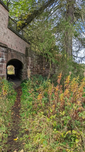
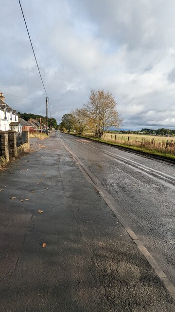
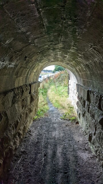
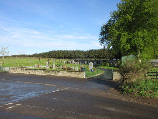
Broomy Knowe Images

Images are sourced within 2km of 56.533275/-3.3191347 or Grid Reference NO1838. Thanks to Geograph Open Source API. All images are credited.

The Green, Burrelton
Bridge for Public Footpath on A94
A94 passing through Woodside
View of the green, Burrelton
Main road, Woodside
Main road, Woodside
View of field, Main Road
View of farmland from Main Road
View from inside footpath tunnel
View of tunnel footpath
St Matthew's Church
St Matthew's Church
A984 westbound
A984 westbound
Track to Hallhole
Track to Hallhole
Arable land by Hallhole Farmland between Meikleour and Coupar Angus.
Arable land by Hallhole
Farmland between Meikleour and Coupar Angus.
Sunlight in Main Plantation Early morning sunlight inside Main Plantation.
Sunlight in Main Plantation
Early morning sunlight inside Main Plantation.
Leystone Cemetery The countryside Leystone Cemetery viewed from the south-east.
Leystone Cemetery
The countryside Leystone Cemetery viewed from the south-east.
Former line of railway The old line of the railway through Strathmore, now partly covered in housing and used a path to Burrelton.
Former line of railway
The old line of the railway through Strathmore, now partly covered in housing and used a path to Burrelton.
Road to Laystone The hedgerow lined road heading to Laystone viewed from west of the cemetery.
Road to Laystone
The hedgerow lined road heading to Laystone viewed from west of the cemetery.
Burrelton Post Office The post office at Burrelton viewed from across the road.
Burrelton Post Office
The post office at Burrelton viewed from across the road.
Show me another place!

Broomy Knowe is located at Grid Ref: NO1838 (Lat: 56.533275, Lng: -3.3191347)

Unitary Authority: Perth and Kinross

Police Authority: Tayside

What 3 Words

///lifelong.sprint.landowner. Near Coupar Angus, Perth & Kinross

Nearby Locations

Broomy Knowe

Related Wikis

Woodside and Burrelton railway station

Woodside and Burrelton railway station was located in Burrelton in the Scottish county of Perth and Kinross. The station was opened by the Caledonian Railway...

Woodside, Perth and Kinross

Woodside (Scottish Gaelic: Both Bhùirnich) is a small village in Scotland, 12 miles (19 kilometres) from Perth, in the Perth and Kinross council area....

Burrelton

Burrelton is a small village in Scotland about 12 miles (19 kilometres) outside Perth. It is joined onto another smaller village, Woodside. The population...

River Isla, Perthshire

The River Isla (Scottish Gaelic: Abhainn Ìle) is a tributary of the River Tay in Angus and Perthshire, Scotland. It runs for 46 miles (74 km) through the...

Meikleour Beech Hedges

The Meikleour Beech Hedge(s) (European Beech = Fagus sylvatica), located near Meikleour, Perth and Kinross, Scotland, was planted in the autumn of 1745...

Campmuir

Campmuir () is a small village in the Perth and Kinross area of Scotland.Campmuir is located less than 1 mile (2 kilometres) south of the main A94 road...

Cargill railway station

Cargill railway station was in the Scottish county of Perth and Kinross. The station was opened by the Scottish Midland Junction Railway running between...

Meikleour

Meikleour ( mi-KLOOR) is a village in Perth and Kinross, Scotland. It lies near the confluence of the Tay and the Isla in the valley of Strathmore, 12...

Nearby Amenities

Located within 500m of 56.533275,-3.3191347
Source: PGS
Lat/Long: 56.5363406/-3.321292
Source: PGS
Lat/Long: 56.5370831/-3.320894
Source: PGS
Lat/Long: 56.5372606/-3.320217
Source: PGS
Lat/Long: 56.5367193/-3.3203425
Source: PGS
Lat/Long: 56.534422/-3.3230515
Source: PGS
Lat/Long: 56.5354503/-3.3215366
Created By: almien_coastlines
Source: PGS
Lat/Long: 56.535087/-3.321759
Created By: almien_coastlines
Source: PGS
Lat/Long: 56.5345678/-3.3221881
Created By: almien_coastlines
Source: PGS
Lat/Long: 56.533972/-3.322835
Source: PGS
Lat/Long: 56.533479/-3.3232543
Source: PGS
Lat/Long: 56.5324975/-3.3249194
Source: PGS
Lat/Long: 56.5324691/-3.3267219
Source: PGS
Lat/Long: 56.5328714/-3.3262369
Source: PGS
Lat/Long: 56.5328134/-3.325473
Source: PGS
Lat/Long: 56.5325963/-3.3244978
Source: PGS
Lat/Long: 56.5366246/-3.3209412
Source: PGS
Lat/Long: 56.5374854/-3.3212051
Source: PGS
Lat/Long: 56.5375925/-3.3206901
Source: PGS
Lat/Long: 56.5349409/-3.3227147
Source: PGS
Lat/Long: 56.5356195/-3.3222201
Source: PGS
Lat/Long: 56.5360235/-3.3217491
Source: PGS
Lat/Long: 56.53623/-3.3207502
Source: PGS
Lat/Long: 56.5357207/-3.321189
Source: PGS
Lat/Long: 56.5352284/-3.3216954
Created By: almien_coastlines
Source: PGS
Lat/Long: 56.5342667/-3.3223951
Source: PGS
Lat/Long: 56.5328501/-3.3239764
Source: PGS
Lat/Long: 56.5335719/-3.3239281
Source: PGS
Lat/Long: 56.5340067/-3.3235107
Source: PGS
Lat/Long: 56.5331808/-3.3235365
Created By: almien_coastlines
Source: PGS
Lat/Long: 56.532389/-3.325443
Created By: almien_coastlines
Source: PGS
Lat/Long: 56.532387/-3.325906
Source: PGS
Lat/Long: 56.5330057/-3.3247252
Power: pole
Lat/Long: 56.5306037/-3.3170236
Power: pole
Lat/Long: 56.5312758/-3.3157936
Power: pole
Lat/Long: 56.531514/-3.3152152
Power: pole
Lat/Long: 56.5318676/-3.3145152
Power: pole
Lat/Long: 56.5324129/-3.313645
Power: pole
Lat/Long: 56.5326028/-3.3129604
Power: pole
Lat/Long: 56.5327847/-3.3122882
Power: pole
Lat/Long: 56.5329746/-3.3116366
Little Keithick
Place: isolated_dwelling
Lat/Long: 56.5329439/-3.3110921
The data included in this document is from www.openstreetmap.org. The data is made available under ODbL.

Have you been to Broomy Knowe?

Leave your review of Broomy Knowe below (or comments, questions and feedback).