Hag Law
Hill, Mountain in Peeblesshire
Scotland
Hag Law
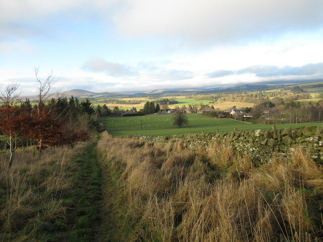
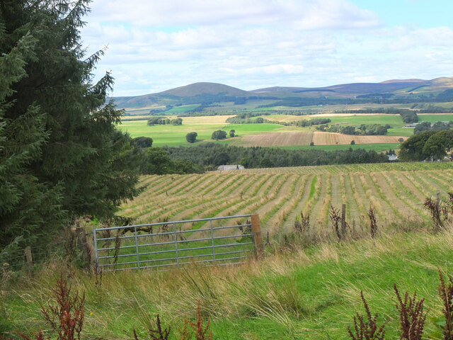
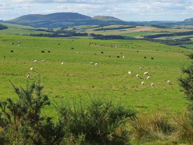
Hag Law is a prominent hill located in Peeblesshire, a historic county in the Scottish Borders region of Scotland. Standing at an elevation of approximately 2,000 feet, it is a notable landmark in the Peeblesshire countryside.
The hill is characterized by its distinctive shape, with a steep and rugged terrain that presents a challenging climb for outdoor enthusiasts. Its summit offers breathtaking panoramic views of the surrounding landscape, including the picturesque Tweed Valley and the rolling hills of the Scottish Borders.
Hag Law is known for its rich biodiversity, with a variety of plant and animal species inhabiting its slopes. The hill is home to heather moorland, which creates a vibrant purple hue during the flowering season. The moorland also provides a habitat for several bird species, such as skylarks and meadow pipits.
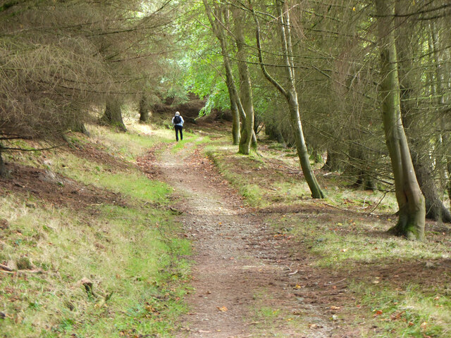
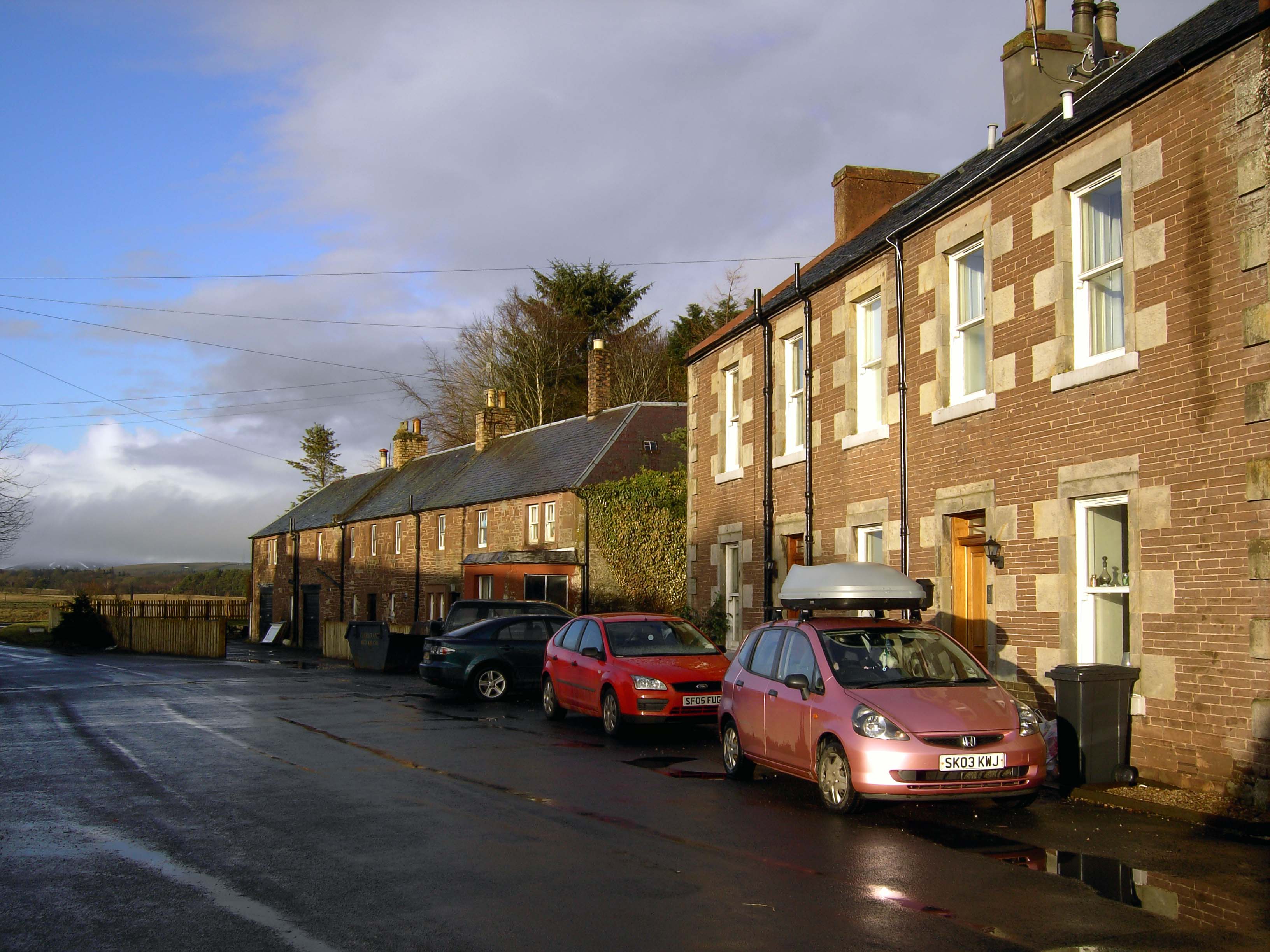
The hill is a popular destination for hikers and hillwalkers, who are drawn to its natural beauty and the opportunity to experience a sense of tranquility in the midst of nature. Its proximity to Peebles, a charming town known for its historic architecture and outdoor activities, makes it easily accessible for both locals and tourists.
Hag Law is a testament to the stunning Scottish countryside, offering a rewarding experience for those seeking adventure, scenic views, and a chance to connect with nature.
If you have any feedback on the listing, please let us know in the comments section below.
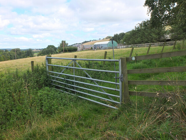
Hag Law Images
Images are sourced within 2km of 55.713789/-3.2937789 or Grid Reference NT1847. Thanks to Geograph Open Source API. All images are credited.


Hag Law is located at Grid Ref: NT1847 (Lat: 55.713789, Lng: -3.2937789)
Unitary Authority: The Scottish Borders
Police Authority: The Lothians and Scottish Borders
What 3 Words
///anchovies.obligated.skim. Near West Linton, Scottish Borders
Nearby Locations
Related Wikis
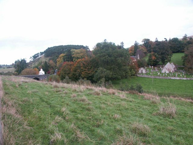
Romannobridge
Romanno Bridge is a village on the Lyne Water, on the A701, in the Scottish Borders area of Scotland. Settlements nearby include West Linton, Halmyre,...
Newlands, Scottish Borders
Newlands is a parish in the Tweeddale committee area of the Scottish Borders council area, in southeastern Scotland. == Geography == Newlands is on the...

Bordlands
Bordlands is a village in the Parish of Newlands in the Scottish Borders area of Scotland. The former name of Bordlands was Boreland. == See also == List...

Drochil Castle
Drochil Castle is a ruined castle in the Scottish Borders. It is located above the Lyne Water, 10 kilometres (6.2 mi) north-west of Peebles, and 8 kilometres...
Nearby Amenities
Located within 500m of 55.713789,-3.2937789Have you been to Hag Law?
Leave your review of Hag Law below (or comments, questions and feedback).