Carn na Cailliche
Hill, Mountain in Morayshire
Scotland
Carn na Cailliche

Carn na Cailliche is a prominent hill located in Morayshire, Scotland. Rising to an elevation of 570 meters (1870 feet), it is often referred to as a "mountain" due to its impressive size and distinctive features. Situated within the Cairngorms National Park, Carn na Cailliche offers breathtaking panoramic views of the surrounding landscape.
The hill is known for its archaeological significance, as it is home to several ancient remains and structures. One of the most notable features is a large stone circle known as the "Clava Cairns," which dates back to the Bronze Age. These cairns consist of passage graves and are believed to have served as burial sites.
Carn na Cailliche also boasts a diverse range of flora and fauna. The hill is covered in heather and grasses, providing a habitat for various species of birds, insects, and small mammals. The area is particularly renowned for its birdlife, with species such as golden eagles and peregrine falcons frequently spotted soaring above.
Due to its accessibility and well-defined paths, Carn na Cailliche is a popular destination for hikers and outdoor enthusiasts. The hill offers a range of walking routes, catering to both experienced climbers and casual walkers. Its commanding presence and stunning vistas make it an ideal spot for photography and nature appreciation.
Carn na Cailliche is not only a beautiful natural landmark, but also a site of historical and ecological significance, attracting visitors from near and far to explore its wonders.
If you have any feedback on the listing, please let us know in the comments section below.
Carn na Cailliche Images
Images are sourced within 2km of 57.51016/-3.3571226 or Grid Reference NJ1847. Thanks to Geograph Open Source API. All images are credited.


Carn na Cailliche is located at Grid Ref: NJ1847 (Lat: 57.51016, Lng: -3.3571226)
Unitary Authority: Moray
Police Authority: North East
What 3 Words
///efficient.oblige.parsnips. Near Charlestown of Aberlour, Moray
Nearby Locations
Related Wikis
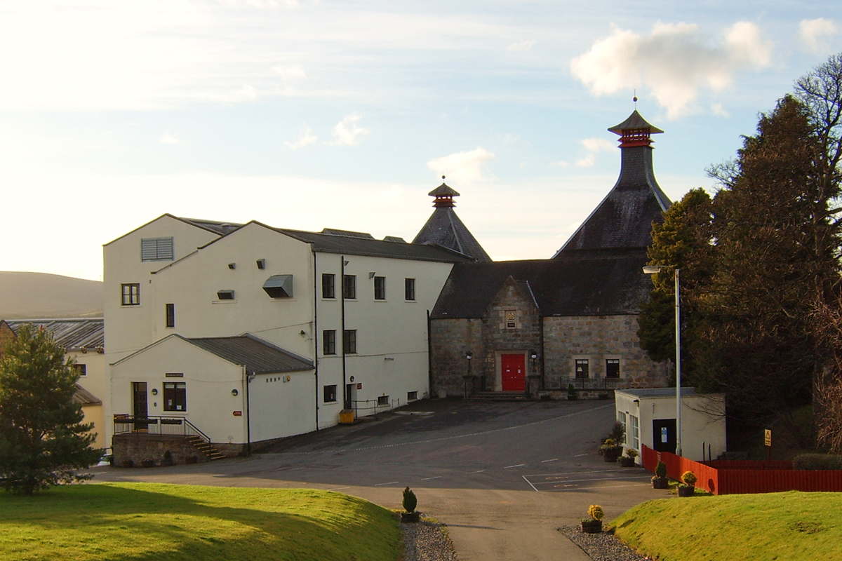
Cardhu distillery
Cardhu distillery is a Speyside distillery near Archiestown, Moray, Scotland, founded in 1824 by whisky smuggler John Cumming and his wife Helen. The distillery...

Knockando Woolmill
The Knockando Woolmill is a historic woolmill in Moray, Scotland. Wool production has taken place at the site since at least the eighteenth century, and...

Archiestown
Archiestown is a small village in Moray, Scotland, named in honour of its founder Sir Archibald Grant of Monymusk. It is a typical 18th century planned...

Knockando, Moray
Knockando (Scottish Gaelic: Cnoc Cheannachd) is a village in Moray, Scotland. It is a farming centre and the location of both the Knockando distillery...
Nearby Amenities
Located within 500m of 57.51016,-3.3571226Have you been to Carn na Cailliche?
Leave your review of Carn na Cailliche below (or comments, questions and feedback).