Water Garth Nook
Hill, Mountain in Lancashire Barrow-in-Furness
England
Water Garth Nook
Water Garth Nook is a picturesque hill located in Lancashire, England. Situated within the Forest of Bowland, it is part of the larger Trough of Bowland area, renowned for its outstanding natural beauty. Rising to an elevation of 454 meters (1,490 feet), Water Garth Nook offers breathtaking panoramic views of the surrounding countryside.
Covered in lush greenery, the hill is predominantly composed of gritstone and shale, which gives it a distinctive rugged appearance. Its slopes are dotted with heather and grasses, providing a habitat for a variety of wildlife, including birds, rabbits, and occasional deer.
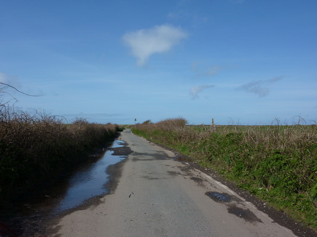
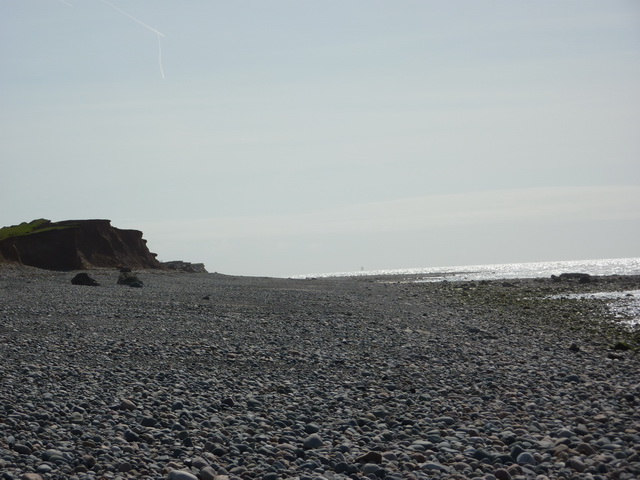
The summit of Water Garth Nook is marked by a cairn, which serves as a point of interest for hikers and nature enthusiasts. The ascent to the top is moderately challenging, with a well-defined footpath leading through the heather-clad slopes. On a clear day, visitors can enjoy uninterrupted vistas across the Ribble Valley, the Lake District, and even the Irish Sea.
Water Garth Nook is a popular destination for outdoor activities such as hiking, walking, and birdwatching. Its remote location and tranquil ambiance make it an ideal spot for those seeking solitude and a connection with nature. The hill is easily accessible by road, with parking available nearby. However, it is important to note that the terrain can be steep and uneven, so proper footwear and caution are advised.
Overall, Water Garth Nook offers a captivating natural setting, making it a must-visit location for anyone exploring the beauty of Lancashire's countryside.
If you have any feedback on the listing, please let us know in the comments section below.
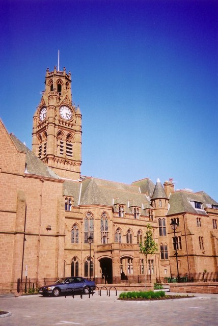
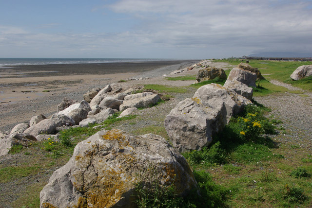
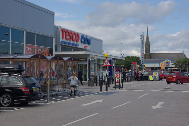
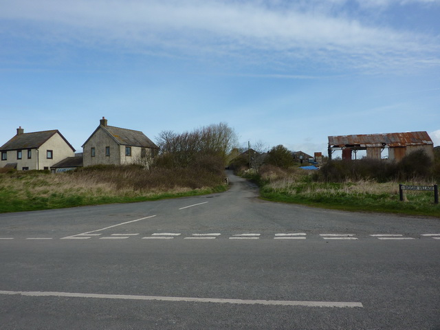
Water Garth Nook Images
Images are sourced within 2km of 54.099675/-3.2435345 or Grid Reference SD1867. Thanks to Geograph Open Source API. All images are credited.


Water Garth Nook is located at Grid Ref: SD1867 (Lat: 54.099675, Lng: -3.2435345)
Administrative County: Cumbria
District: Barrow-in-Furness
Police Authority: Cumbria
What 3 Words
///analogy.above.splice. Near Barrow in Furness, Cumbria
Nearby Locations
Related Wikis

Walney Channel
The Walney Channel separates Walney Island from the British mainland. The northern portion of the channel opens into the Duddon Estuary and is both narrower...
Islands of Furness
The Islands of Furness are situated to the south-west and east of the Furness Peninsula. Within England, they are the third biggest collection of islands...

Dova Haw
Dova Haw, also known as Crab Island, is a small islet that is one of the Islands of Furness. It is a small tidal island off the coast of Cumbria, England...
Walney Island
Walney Island, also known as the Isle of Walney, is an island off the west coast of England, at the western end of Morecambe Bay in the Irish Sea. Within...

St Mary the Virgin's Church, Walney
St Mary the Virgin's Church is located on the Promenade, Walney Island, Barrow-in-Furness. Cumbria, England. It is an active Anglican parish church in...

Barrow Island, Barrow-in-Furness
Barrow Island is an area and electoral ward of Barrow-in-Furness, Cumbria, England. Originally separate from the British mainland, land reclamation in...
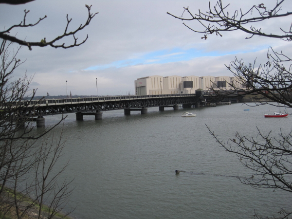
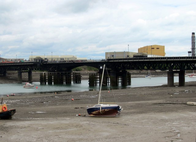
Walney Bridge
Walney Bridge, officially Jubilee Bridge, is a bascule bridge in Barrow-in-Furness, Cumbria, England. Completed in 1908, it spans Walney Channel, linking...
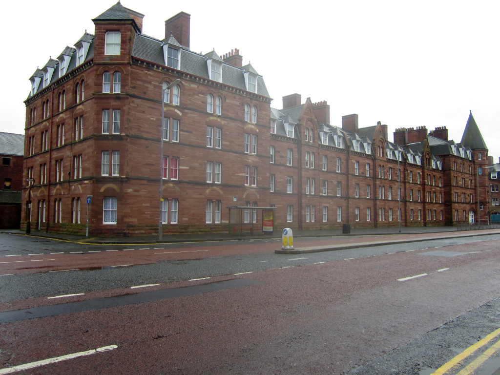
Devonshire Buildings
The Devonshire Buildings are two adjacent apartment buildings in the Barrow Island area of Barrow-in-Furness, Cumbria, England. They are both recorded...
Nearby Amenities
Located within 500m of 54.099675,-3.2435345Have you been to Water Garth Nook?
Leave your review of Water Garth Nook below (or comments, questions and feedback).