Hard Hill
Hill, Mountain in Cumberland Copeland
England
Hard Hill
Hard Hill is a prominent geographical feature located in Cumberland County, in the state of Maine, United States. Also known as Hard Hill Mountain, it stands at an elevation of approximately 1,200 feet above sea level. Situated in the northwest region of Cumberland County, the hill is part of the larger Appalachian Mountain Range.
Hard Hill is characterized by its rugged terrain, consisting of steep slopes and rocky outcrops. The hill's formation can be attributed to the processes of tectonic activity and erosion over millions of years. Its composition primarily consists of granite and schist, contributing to its durability and resistance to weathering.
The summit of Hard Hill offers breathtaking panoramic views of the surrounding landscape. From the top, visitors can see vast stretches of forested areas, rolling hills, and nearby bodies of water, including lakes and rivers. The hill serves as a popular destination for outdoor enthusiasts who partake in activities such as hiking, nature exploration, and photography.
The area surrounding Hard Hill is rich in biodiversity, supporting a variety of flora and fauna. Forests dominated by hardwood trees, such as maple and oak, cover the hill's slopes, providing a habitat for numerous wildlife species. Visitors may encounter animals such as white-tailed deer, black bears, and various bird species during their exploration.
Overall, Hard Hill in Cumberland County is a captivating natural landmark that showcases the beauty of Maine's landscape. Its challenging terrain, stunning views, and diverse ecosystem make it an appealing destination for those seeking outdoor adventures and a connection with nature.
If you have any feedback on the listing, please let us know in the comments section below.
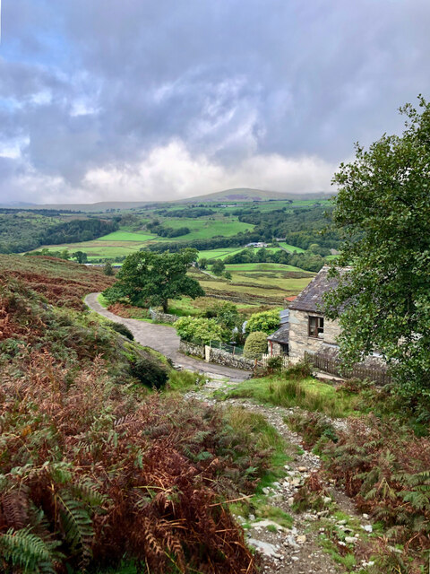
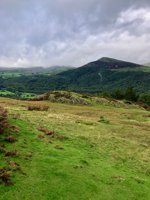
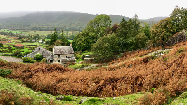
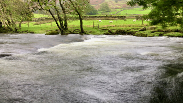
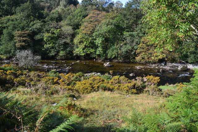
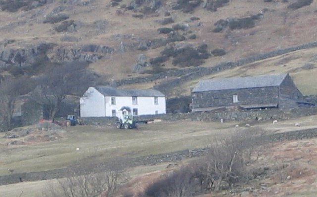
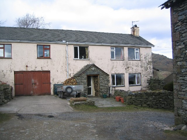
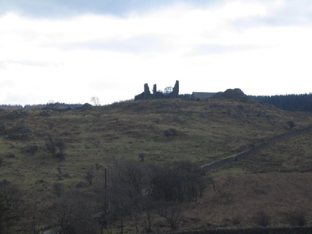
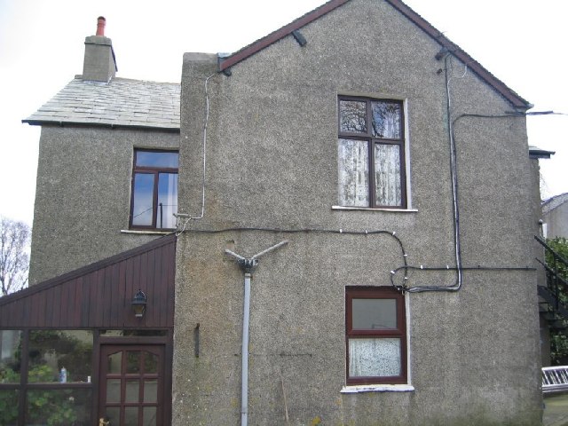
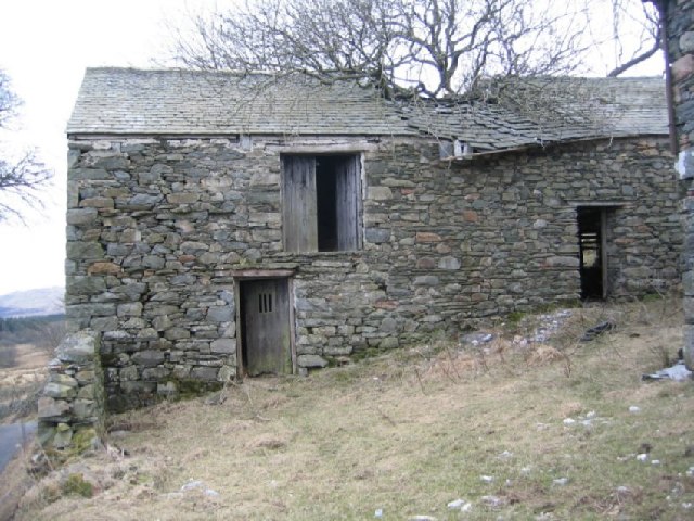
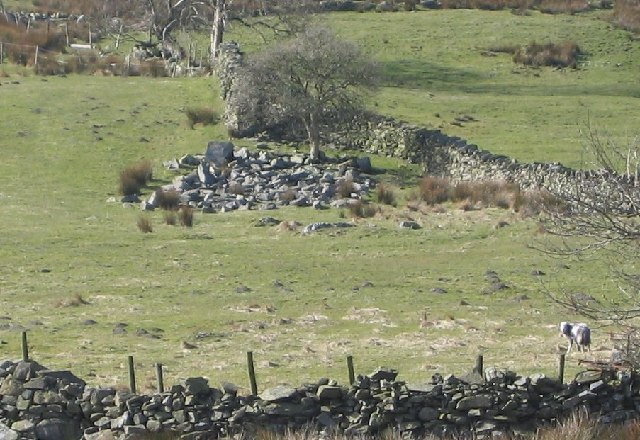
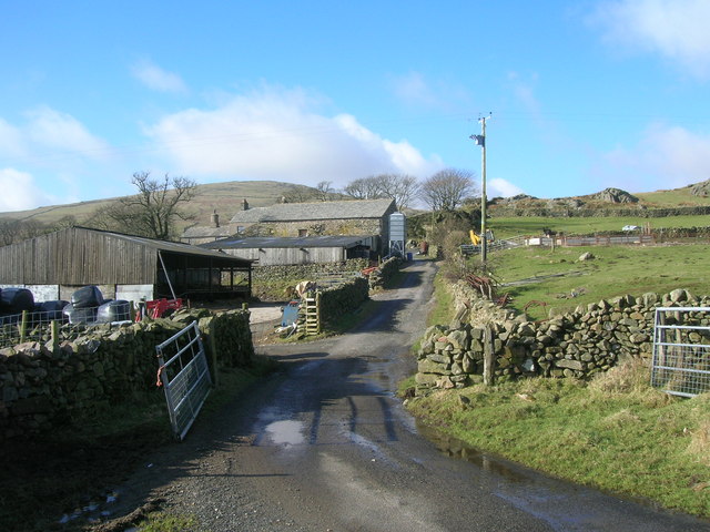
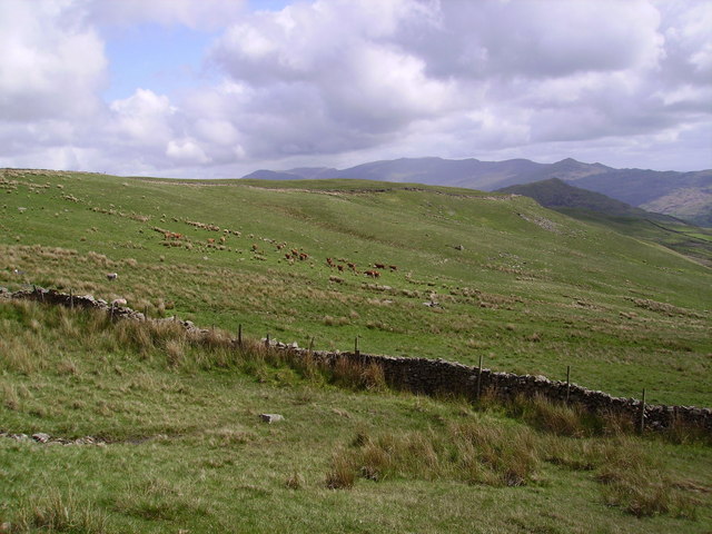
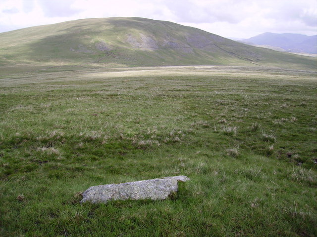
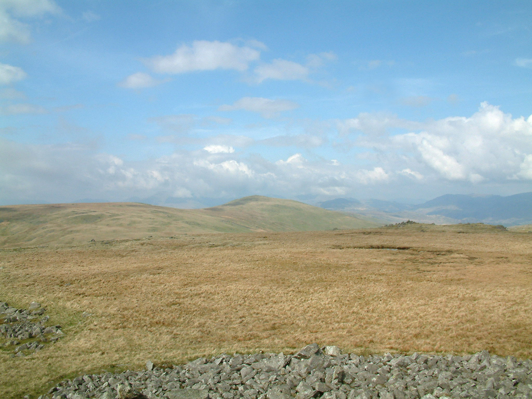
Hard Hill Images
Images are sourced within 2km of 54.323898/-3.2531962 or Grid Reference SD1892. Thanks to Geograph Open Source API. All images are credited.


Hard Hill is located at Grid Ref: SD1892 (Lat: 54.323898, Lng: -3.2531962)
Administrative County: Cumbria
District: Copeland
Police Authority: Cumbria
What 3 Words
///fattening.sway.trash. Near Millom, Cumbria
Nearby Locations
Related Wikis

Ulpha
Ulpha is a small village and civil parish in the Duddon Valley in the Lake District National Park in Cumbria, England. Historically in Cumberland, it forms...

Hesk Fell
Hesk Fell is a hill in the south-west of the English Lake District, between the Duddon Valley and Eskdale near Ulpha, Cumbria. It is the subject of a chapter...

Dunnerdale Fells
Dunnerdale Fells is an upland area in the English Lake District, between Ulpha and Broughton Mills, Cumbria. It is the subject of a chapter of Wainwright...
Whitfell
Whitfell (or sometimes Whit Fell) is a hill of 573 metres (1,880 ft) in the southwestern part of the Lake District. It is the highest point between Black...
Nearby Amenities
Located within 500m of 54.323898,-3.2531962Have you been to Hard Hill?
Leave your review of Hard Hill below (or comments, questions and feedback).