Great Barrow

Hill, Mountain in Cumberland Copeland

England

Great Barrow

Farm track near Wha House Farm
Farm track near Wha House Farm Credit: Steven Brown

Great Barrow is a prominent hill located in the county of Cumberland, England. It is a part of the Lake District National Park and is situated in the northwestern region of the country. Standing at an impressive height of 455 meters (1,493 feet), Great Barrow offers breathtaking panoramic views of the surrounding landscape.

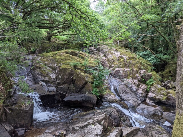
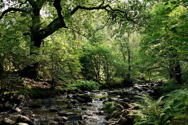
The hill is composed mainly of volcanic rock, with its distinctive shape being a result of glacial activity during the last ice age. It is covered in lush green vegetation, including heather and grass, providing a vibrant display of colors throughout the year. Great Barrow is home to a variety of wildlife, including birds, such as peregrine falcons and buzzards, as well as sheep and rabbits.

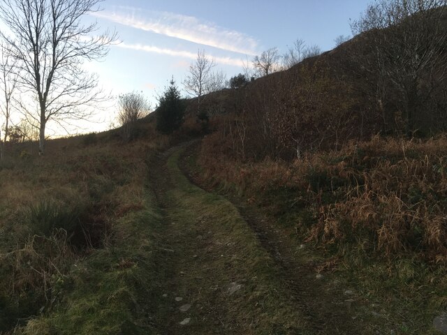
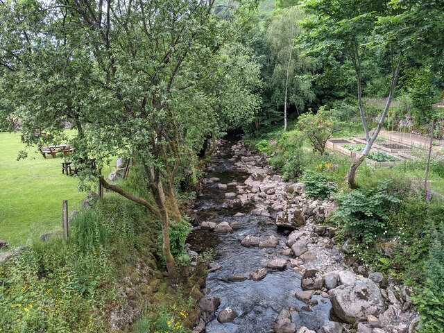
The hill is a popular destination for outdoor enthusiasts and hikers, with several walking trails leading to its summit. These trails vary in difficulty, catering to both experienced hikers and beginners. The ascent to the top of Great Barrow offers a rewarding experience, with stunning views of the surrounding fells, valleys, and lakes, including Thirlmere and Derwentwater.

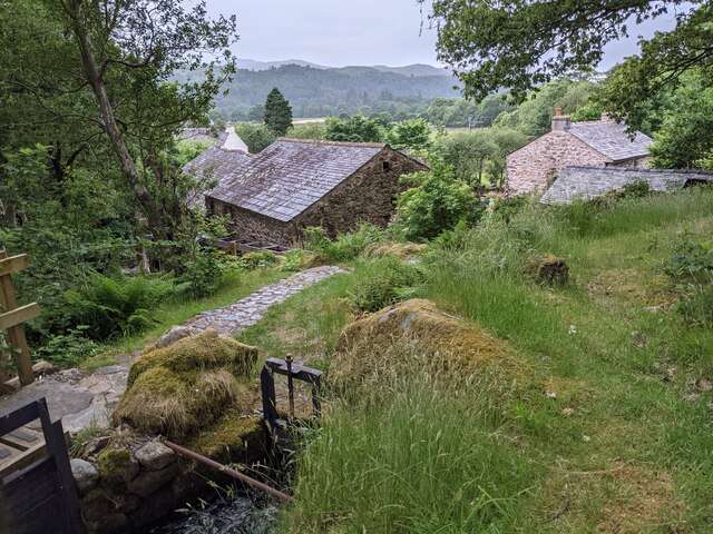
Great Barrow is easily accessible by road, with nearby parking facilities available for visitors. It is also conveniently located near the town of Keswick, providing amenities such as accommodation, restaurants, and shops for those planning to explore the area. Whether it's a leisurely stroll or a challenging hike, Great Barrow offers an unforgettable outdoor experience for nature lovers and adventurers alike.

If you have any feedback on the listing, please let us know in the comments section below.
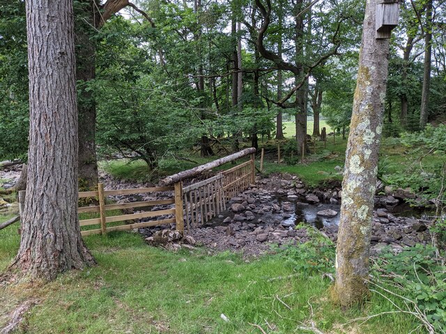
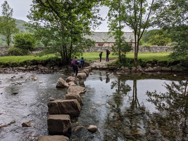
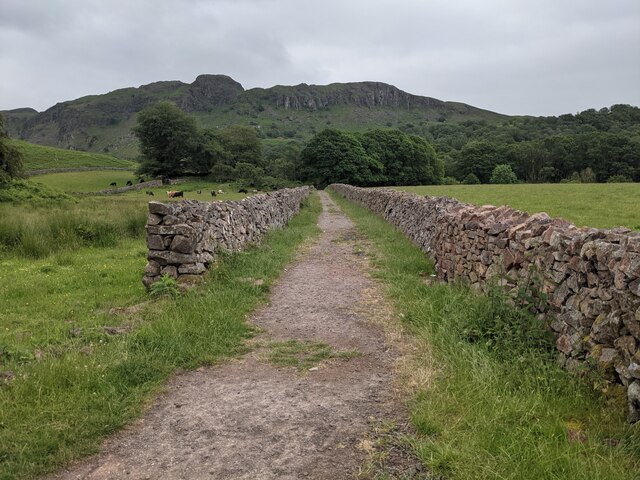
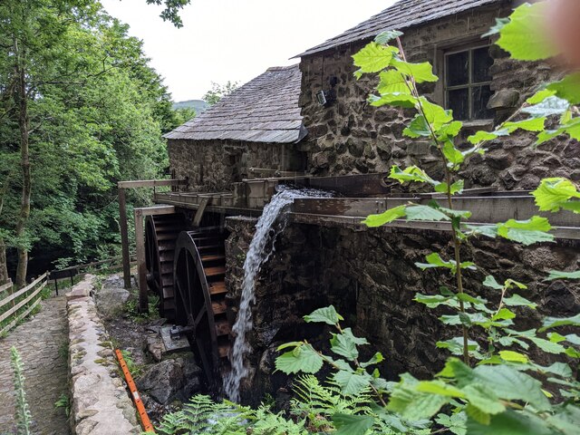
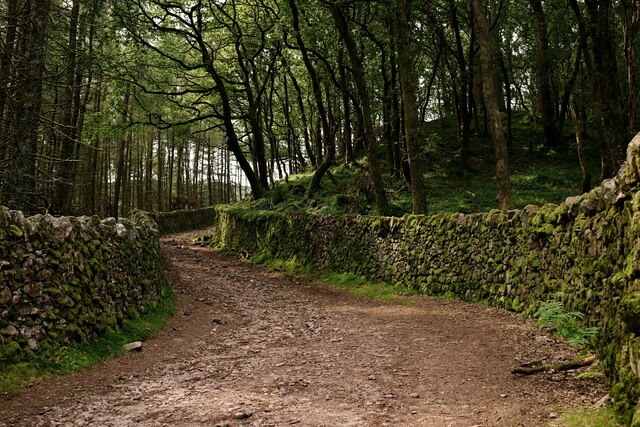
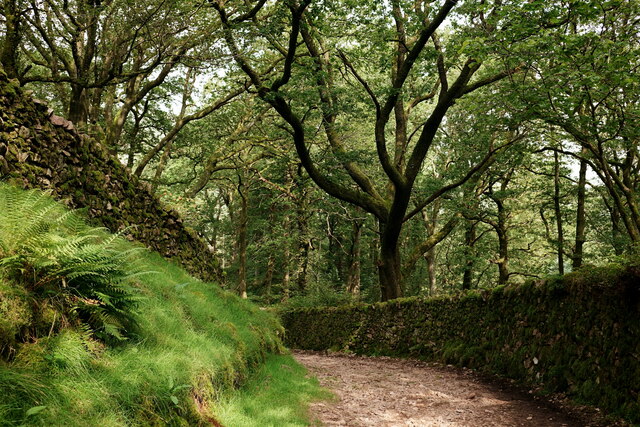
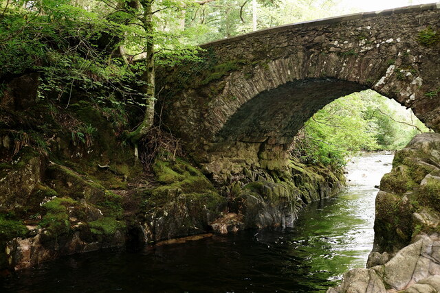
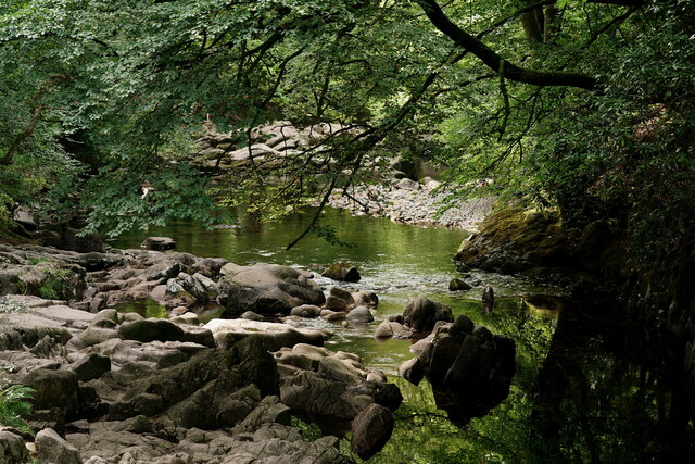
Great Barrow Images

Images are sourced within 2km of 54.403501/-3.2576254 or Grid Reference NY1801. Thanks to Geograph Open Source API. All images are credited.

Farm track near Wha House Farm
A fine bridge over the River Esk
A path through the woods near Dalegarth
A new bridge over Birker Beck I think the previous bridge (see: <a title="https://www.geograph.org.uk/photo/4455179)" href="https://www.geograph.org.uk/photo/4455179)">Link</a> was probably damaged by floods.
Curiously the beck, referred to in some other geographs as Stanley Ghyll Beck, is named on the OS 1:50k map, but not on the 1:25k map.
A new bridge over Birker Beck
I think the previous bridge (see: Link was probably damaged by floods. Curiously the beck, referred to in some other geographs as Stanley Ghyll Beck, is named on the OS 1:50k map, but not on the 1:25k map.
A hanging fence across Birker Beck To discourage sheep from using the stream bed as an escape to greener pastures.
A hanging fence across Birker Beck
To discourage sheep from using the stream bed as an escape to greener pastures.
The stepping stones - a fun way to cross the Esk
The bridleway to the footbridge across the Esk
Wildflowers and trees Near Esk View Farm.
Wildflowers and trees
Near Esk View Farm.
Diverted power source The water wheels at Eskdale Mill are not in use today, so the water is spilled back into the stream.
Diverted power source
The water wheels at Eskdale Mill are not in use today, so the water is spilled back into the stream.
Water-smoothed rocks in Whillan Beck
Top of the power supply The water is extracted here to drive the water wheels at Eskdale Mill, whose rooftops are visible.
Top of the power supply
The water is extracted here to drive the water wheels at Eskdale Mill, whose rooftops are visible.
Whillan Beck from the mill bridge
Stanley Ghyll Beck Seen from the start of the climb up to the waterfall.
Stanley Ghyll Beck
Seen from the start of the climb up to the waterfall.
Eskdale Track up to the new Stanley Force viewing platform. Most walkers take the path in the ravine to reach the viewing platform, returning via this track.
Eskdale
Track up to the new Stanley Force viewing platform. Most walkers take the path in the ravine to reach the viewing platform, returning via this track.
Eskdale Track down to the road, from the new Stanley Force viewing platform.
Eskdale
Track down to the road, from the new Stanley Force viewing platform.
Eskdale Trough House bridge and the River Esk.
Eskdale
Trough House bridge and the River Esk.
Eskdale River Esk from Trough House Bridge.
Eskdale
River Esk from Trough House Bridge.
'Whillan Beck' Arriving at Dalegarth, with a train from Ravenglass.
'Whillan Beck'
Arriving at Dalegarth, with a train from Ravenglass.
Show me another place!

Great Barrow is located at Grid Ref: NY1801 (Lat: 54.403501, Lng: -3.2576254)

Administrative County: Cumbria

District: Copeland

Police Authority: Cumbria

What 3 Words

///nibbled.scoping.foot. Near Seascale, Cumbria

Nearby Locations

Eel Tarn Great Barrow

Related Wikis

Woolpack walk

The Woolpack Walk is a challenge walk which starts and finishes at the Woolpack Inn, Eskdale in the Lake District of England. The route covers 30 km (18...

Boot, Cumbria

Boot is a small village in Eskdale, Cumbria, in the Lake District of England. It forms part of the Borough of Copeland. There are two roads from which...

Burnmoor stone circles

The Burnmoor Stone Circles are a group of five different approximately 4000-year-old stone circles in Cumbria. They are around 1 mile north of the village...

Dalegarth railway station

Dalegarth railway station is the easterly terminus of the 15-inch gauge Ravenglass and Eskdale Railway in Cumbria, England. It has a café and shop for...

Nearby Amenities

Located within 500m of 54.403501,-3.2576254
Barrier: stile
Material: stone
Source: survey;bing;gps
Stile: stepover
Lat/Long: 54.3990719/-3.2575272
Gill Bank
Place: locality
Lat/Long: 54.4050191/-3.2632993
Little Pie
Place: locality
Lat/Long: 54.4056424/-3.2543817
Great Barrow
Place: locality
Lat/Long: 54.4041936/-3.2568278
Little Barrow
Place: locality
Lat/Long: 54.4021539/-3.2590913
Paddock Wray
Place: locality
Lat/Long: 54.3998681/-3.2563662
Christcliff
Place: locality
Lat/Long: 54.3991213/-3.2565923
Peat Hut
Historic: yes
Lat/Long: 54.4042405/-3.2551263
Peat Hut
Historic: yes
Lat/Long: 54.4054319/-3.2606614
Peat Hut
Historic: yes
Lat/Long: 54.4018777/-3.2523575
Peat Hut
Historic: yes
Lat/Long: 54.4023211/-3.2520451
Ford: yes
Lat/Long: 54.4061705/-3.2636028
The data included in this document is from www.openstreetmap.org. The data is made available under ODbL.

Have you been to Great Barrow?

Leave your review of Great Barrow below (or comments, questions and feedback).