Green How

Hill, Mountain in Cumberland Copeland

England

Green How

Small bield, Green Crag
Small bield, Green Crag Credit: Mick Garratt

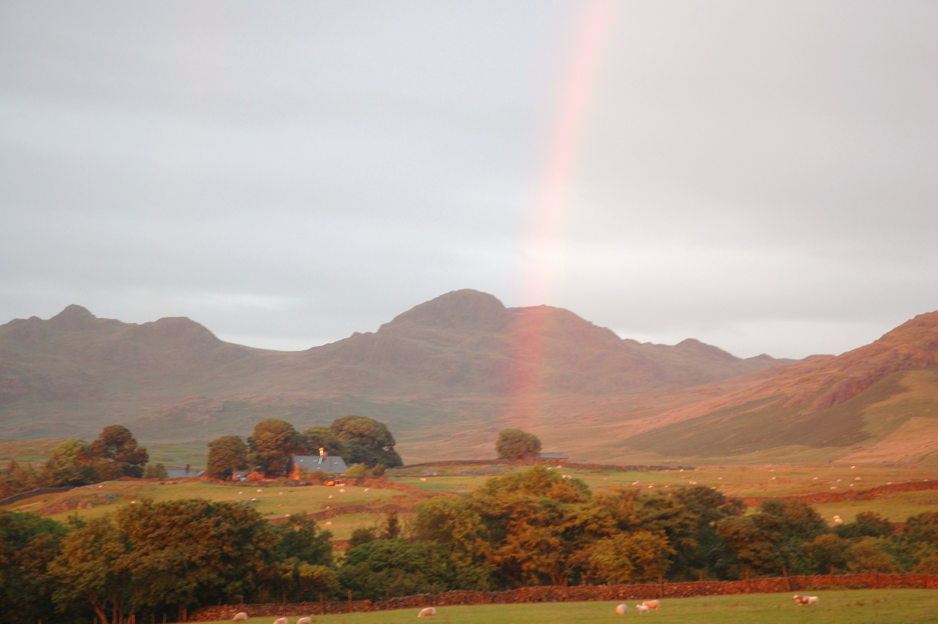
Green How is a prominent hill located in the county of Cumberland, in the north-west region of England. Situated in the Lake District National Park, it forms part of the Skiddaw range, offering breathtaking views of the surrounding landscape. Standing at an elevation of approximately 1,640 feet (500 meters), it is a popular destination for outdoor enthusiasts and hikers.

The hill is characterized by its distinct green slopes, which are a result of the lush vegetation covering its surface. It boasts a diverse range of flora and fauna, including heather, moss, and various species of birds and small mammals. The hill's greenery creates a picturesque setting and enhances its natural beauty.

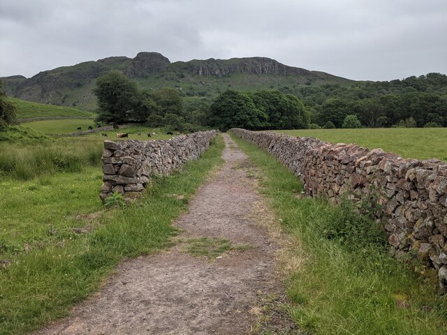
Green How offers several walking routes and trails, catering to different levels of difficulty and experience. The ascent to the summit is generally considered moderate, making it accessible to a wide range of hikers. From the top, visitors are rewarded with panoramic views of the surrounding countryside, including nearby peaks, valleys, and the shimmering lakes that the Lake District is renowned for.

The hill is easily accessible by road, with parking facilities available nearby. Its location within the Lake District National Park ensures that it is well-maintained and preserved, allowing visitors to enjoy a tranquil and unspoiled natural environment. Green How is a must-visit destination for nature lovers, offering an opportunity to immerse oneself in the beauty of the Lake District's landscapes.

If you have any feedback on the listing, please let us know in the comments section below.
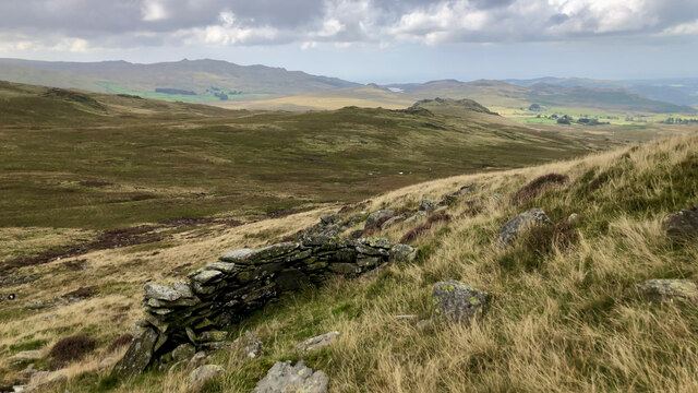
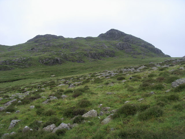
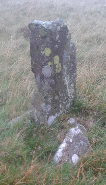
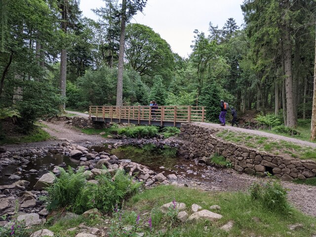
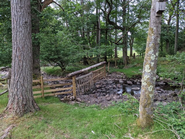
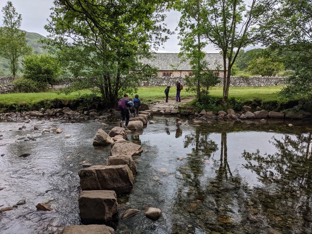
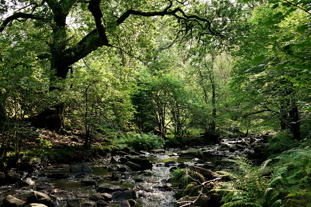
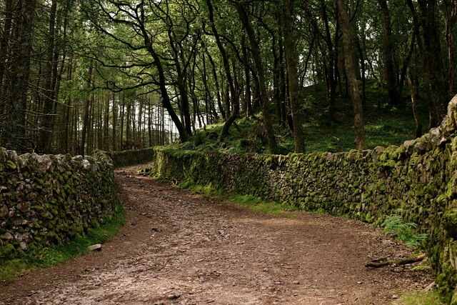
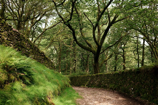
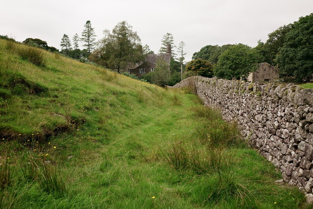
Green How Images

Images are sourced within 2km of 54.377231/-3.2575611 or Grid Reference SD1898. Thanks to Geograph Open Source API. All images are credited.

Small bield, Green Crag
Green Crag From Long Crag looking to Green Crag
Green Crag
From Long Crag looking to Green Crag
Old Boundary Marker on Ulpha Fell, Eskdale parish Parish Boundary Marker in parish of Eskdale (Copeland District), Ulpha Fell, 500 metres North of Green Crag Summit.

Surveyed

Milestone Society National ID: CU_ULPESK02pb
Old Boundary Marker on Ulpha Fell, Eskdale parish
Parish Boundary Marker in parish of Eskdale (Copeland District), Ulpha Fell, 500 metres North of Green Crag Summit. Surveyed Milestone Society National ID: CU_ULPESK02pb
A new bridge over Birker Beck I think the previous bridge (see: <a title="https://www.geograph.org.uk/photo/4455179)" href="https://www.geograph.org.uk/photo/4455179)">Link</a> was probably damaged by floods.
Curiously the beck, referred to in some other geographs as Stanley Ghyll Beck, is named on the OS 1:50k map, but not on the 1:25k map.
A new bridge over Birker Beck
I think the previous bridge (see: Link was probably damaged by floods. Curiously the beck, referred to in some other geographs as Stanley Ghyll Beck, is named on the OS 1:50k map, but not on the 1:25k map.
A hanging fence across Birker Beck To discourage sheep from using the stream bed as an escape to greener pastures.
A hanging fence across Birker Beck
To discourage sheep from using the stream bed as an escape to greener pastures.
The stepping stones - a fun way to cross the Esk
The bridleway to the footbridge across the Esk
Wildflowers and trees Near Esk View Farm.
Wildflowers and trees
Near Esk View Farm.
Stanley Ghyll Beck Seen from the start of the climb up to the waterfall.
Stanley Ghyll Beck
Seen from the start of the climb up to the waterfall.
Eskdale Track up to the new Stanley Force viewing platform. Most walkers take the path in the ravine to reach the viewing platform, returning via this track.
Eskdale
Track up to the new Stanley Force viewing platform. Most walkers take the path in the ravine to reach the viewing platform, returning via this track.
Eskdale Track down to the road, from the new Stanley Force viewing platform.
Eskdale
Track down to the road, from the new Stanley Force viewing platform.
Eskdale View towards Dalegarth Hall, from the track.
Eskdale
View towards Dalegarth Hall, from the track.
Dry-stone wall, Low Birker
Small wooded tarn
Small wooded tarn
Peat storage hut, Birker Fell I came across this ruin on the descent of Harter Fell. The Scafell range of fells provide a stunning backdrop.

It is one of 35 huts that have been identified in the Eskdale area that were used for the storage of peat turves. Its date of construction is unclear, certainly post-medieval but it was still roofed in 1860, probably with slates. A well constructed embanked zig-zag track provided access for the turves to be sledded down to the dale.

It may seem reprehensible to us now, but for generations peat from the high moors was a valuable resource for the formers of Eskdale. Yet the environmental effect became apparent when the resource began to be strained by incomers working in the mines and on the railway. From 1842, a Peat-Moss Looker was appointed by the Manor Court to oversee the cutting of peat.

For sources see my blog <span class="nowrap"><a title="http://www.fhithich.uk/?p=30097" rel="nofollow ugc noopener" href="http://www.fhithich.uk/?p=30097">Link</a><img style="margin-left:2px;" alt="External link" title="External link - shift click to open in new window" src="https://s1.geograph.org.uk/img/external.png" width="10" height="10"/></span>
Peat storage hut, Birker Fell
I came across this ruin on the descent of Harter Fell. The Scafell range of fells provide a stunning backdrop. It is one of 35 huts that have been identified in the Eskdale area that were used for the storage of peat turves. Its date of construction is unclear, certainly post-medieval but it was still roofed in 1860, probably with slates. A well constructed embanked zig-zag track provided access for the turves to be sledded down to the dale. It may seem reprehensible to us now, but for generations peat from the high moors was a valuable resource for the formers of Eskdale. Yet the environmental effect became apparent when the resource began to be strained by incomers working in the mines and on the railway. From 1842, a Peat-Moss Looker was appointed by the Manor Court to oversee the cutting of peat. For sources see my blog LinkExternal link
Stepping Stones To The Church, River Esk, Eskdale A few tricky ones.
Stepping Stones To The Church, River Esk, Eskdale
A few tricky ones.
Eskdale Panorama Stunning Valley
Eskdale Panorama
Stunning Valley
St. Catherine's Church, Eskdale A church has been on the site since the 6th century. The present church dates from the 14th century, with later alterations and additions. It was restored in 1881.


<span class="nowrap"><a title="https://en.wikipedia.org/wiki/St_Catherine%27s_Church,_Boot" rel="nofollow ugc noopener" href="https://en.wikipedia.org/wiki/St_Catherine%27s_Church,_Boot">Link</a><img style="margin-left:2px;" alt="External link" title="External link - shift click to open in new window" src="https://s1.geograph.org.uk/img/external.png" width="10" height="10"/></span>
St. Catherine's Church, Eskdale
A church has been on the site since the 6th century. The present church dates from the 14th century, with later alterations and additions. It was restored in 1881. LinkExternal link
Show me another place!

Green How is located at Grid Ref: SD1898 (Lat: 54.377231, Lng: -3.2575611)

Administrative County: Cumbria

District: Copeland

Police Authority: Cumbria

What 3 Words

///refuse.stuck.irrigated. Near Seascale, Cumbria

Nearby Locations

Green How

Related Wikis

Birkerthwaite

Birkerthwaite is a village on Birker Fell, Eskdale, Cumbria, England. == See also == List of places in Cumbria == External links == Media related to Birkerthwaite...

Eskdale, Cumbria

Eskdale is a glacial valley and civil parish in the western Lake District National Park in Cumbria, England. It forms part of the Borough of Copeland...

Green Crag

Green Crag is a fell in the English Lake District. It stands between Eskdale and the Duddon valley in the Southern Fells. == Topography == The headwaters...

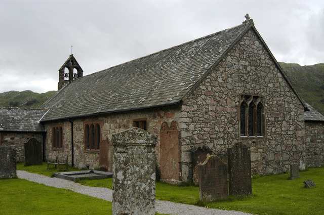
St Catherine's Church, Boot

St Catherine's Church is in the village of Boot, Cumbria, England. It is the Anglican parish church of Eskdale, Cumbria, and is in the deanery of Calder...

Nearby Amenities

Located within 500m of 54.377231,-3.2575611
Green How
Place: locality
Lat/Long: 54.3779821/-3.2606061
The data included in this document is from www.openstreetmap.org. The data is made available under ODbL.

Have you been to Green How?

Leave your review of Green How below (or comments, questions and feedback).