Howbeck Bank

Settlement in Cheshire

England

Howbeck Bank

Former St. Chad's Church Tower, Wybunbury The body of the original church has been demolished (Twice!) but the tower still stands.

The tower was built in the 15th century on the site of the earlier church. By 1750 its foundations were observed to be settling and the tower was beginning to lean. In the early 1790s the church was repaired or rebuilt. In 1833 the body of the church was demolished; James Trubshaw then straightened the tower by removing soil from the higher side and soaking the ground so that the tower settled back straight. He rebuilt the body of the church in a style loosely based on the previous building. This church was replaced in 1892–93 by a church designed by James Brooks, which in turn was demolished around 1976. The tower was saved from demolition by a group of villagers who formed the Wybunbury Tower Preservation Trust.

As at least five and possibly more churches on this site have become unsafe and been demolished due to ground movement; the replacement church was built in 1978 on a site elsewhere in the village and contains several items from previous churches.
Former St. Chad's Church Tower, Wybunbury Credit: Brian Deegan

Howbeck Bank is a small hamlet located in the county of Cheshire, England. It lies in the rural area of the borough of Cheshire East, near the border with Staffordshire. The hamlet is nestled in the picturesque countryside, surrounded by rolling hills and lush green fields.

Despite its small size, Howbeck Bank boasts a close-knit community and a tranquil atmosphere. The hamlet primarily consists of a few residential properties, including traditional cottages and modern houses. The architecture reflects the local Cheshire style, with many buildings featuring red-brick facades and timber detailing.

The surrounding area offers plenty of opportunities for outdoor activities and exploration. Nature lovers can enjoy scenic walks and hikes in the nearby countryside, taking in the breathtaking views and abundant wildlife. The hamlet is also within close proximity to several notable attractions, including the Lyme Park and the Peak District National Park, which are popular destinations for outdoor enthusiasts.

Although Howbeck Bank does not have its own amenities, it benefits from being in close proximity to the nearby town of Congleton. Here, residents can find a range of facilities, including schools, shops, restaurants, and healthcare services.

Overall, Howbeck Bank provides a peaceful and idyllic setting for those seeking a rural lifestyle. Its beautiful surroundings and proximity to amenities make it an attractive place to live for those who value the tranquility of the countryside.

If you have any feedback on the listing, please let us know in the comments section below.
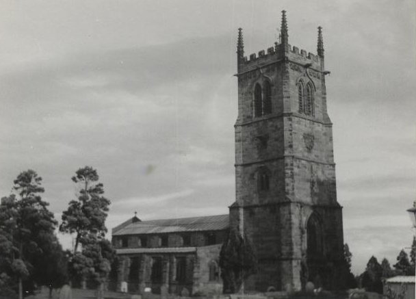
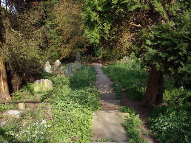
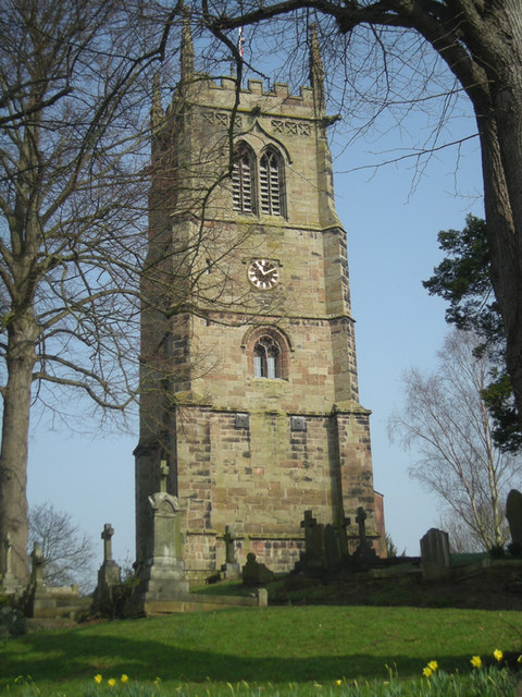
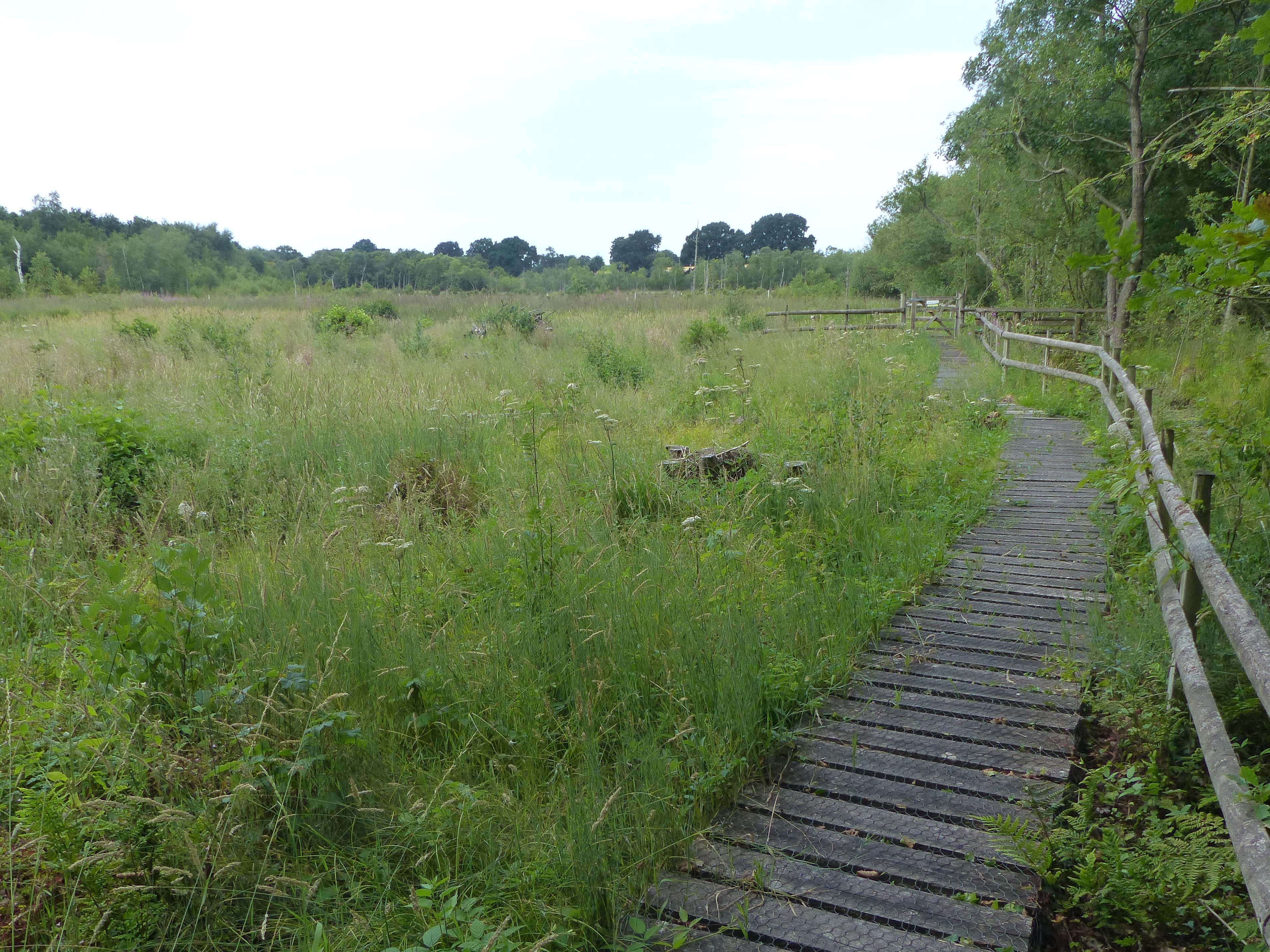
Howbeck Bank Images

Images are sourced within 2km of 53.040911/-2.473514 or Grid Reference SJ6849. Thanks to Geograph Open Source API. All images are credited.

Former St. Chad's Church Tower, Wybunbury The body of the original church has been demolished (Twice!) but the tower still stands.

The tower was built in the 15th century on the site of the earlier church. By 1750 its foundations were observed to be settling and the tower was beginning to lean. In the early 1790s the church was repaired or rebuilt. In 1833 the body of the church was demolished; James Trubshaw then straightened the tower by removing soil from the higher side and soaking the ground so that the tower settled back straight. He rebuilt the body of the church in a style loosely based on the previous building. This church was replaced in 1892–93 by a church designed by James Brooks, which in turn was demolished around 1976. The tower was saved from demolition by a group of villagers who formed the Wybunbury Tower Preservation Trust.

As at least five and possibly more churches on this site have become unsafe and been demolished due to ground movement; the replacement church was built in 1978 on a site elsewhere in the village and contains several items from previous churches.
Former St. Chad's Church Tower, Wybunbury
The body of the original church has been demolished (Twice!) but the tower still stands. The tower was built in the 15th century on the site of the earlier church. By 1750 its foundations were observed to be settling and the tower was beginning to lean. In the early 1790s the church was repaired or rebuilt. In 1833 the body of the church was demolished; James Trubshaw then straightened the tower by removing soil from the higher side and soaking the ground so that the tower settled back straight. He rebuilt the body of the church in a style loosely based on the previous building. This church was replaced in 1892–93 by a church designed by James Brooks, which in turn was demolished around 1976. The tower was saved from demolition by a group of villagers who formed the Wybunbury Tower Preservation Trust. As at least five and possibly more churches on this site have become unsafe and been demolished due to ground movement; the replacement church was built in 1978 on a site elsewhere in the village and contains several items from previous churches.
St Chad's in 1969 Scanned from a photo taken in my college days
St Chad's in 1969
Scanned from a photo taken in my college days
View from Wybunbury Tower looking west Just visible on horizon are Bickerton/Beeston Hills
View from Wybunbury Tower looking west
Just visible on horizon are Bickerton/Beeston Hills
View from Wybunbury Tower looking south Looking down Bridge Street towards the school
View from Wybunbury Tower looking south
Looking down Bridge Street towards the school
Wybunbury Tower - top Unusual and ingenious mechanism for raising the flagpole on top of Wybunbury Tower
Wybunbury Tower - top
Unusual and ingenious mechanism for raising the flagpole on top of Wybunbury Tower
Wybunbury Church Tower from Edge of the Moss View of Wybunbury church from the edge of Wybunbury Moss
Wybunbury Church Tower from Edge of the Moss
View of Wybunbury church from the edge of Wybunbury Moss
Moat by Wybunbury Presumed edge of the moat by Wynbunbury church. There used to be 2 houses with moats near the church for visiting clergy.
Moat by Wybunbury
Presumed edge of the moat by Wynbunbury church. There used to be 2 houses with moats near the church for visiting clergy.
Footpath through cemetery
Wybunbury: Tower of St. Chad's Church The tower, begun in 1470, stands in splendid isolation: the attached church, which dated in part from the 7th Century, (see <a href="https://www.geograph.org.uk/photo/142868">SJ7049 : St Chad's in 1969</a>) had to be demolished in 1976, as subsidence had rendered it unsafe: a new building some 200m to the west, replaced it.
Wybunbury: Tower of St. Chad's Church
The tower, begun in 1470, stands in splendid isolation: the attached church, which dated in part from the 7th Century, (see SJ7049 : St Chad's in 1969) had to be demolished in 1976, as subsidence had rendered it unsafe: a new building some 200m to the west, replaced it.
Wybunbury Tower
Wybunbury Tower
Wybunbury Tower: detail Western front has "Quatrefoils to spandrels and niches to either side with crocketed ogee heads each containing a sculpture of a bishop." per <span class="nowrap"><a title="http://www.imagesofengland.org.uk/details/default.aspx?id=57020" rel="nofollow ugc noopener" href="http://www.imagesofengland.org.uk/details/default.aspx?id=57020">Link</a><img style="margin-left:2px;" alt="External link" title="External link - shift click to open in new window" src="https://s1.geograph.org.uk/img/external.png" width="10" height="10"/></span>
Wybunbury Tower: detail
Western front has "Quatrefoils to spandrels and niches to either side with crocketed ogee heads each containing a sculpture of a bishop." per LinkExternal link
Bridge Street, Wybunbury Looking north. The houses on the left are well above the level of the road, and are served by a narrow footpath, which must make having large items of furniture delivered a bit of a headache.

Location note: The road is marked on the 1:50000 OS map as straddling the grid line, but on the 1:25000 map the whole road is clearly shown to be within the grid square as shown here. The photographer location I have provided was obtained from a gps device.
Bridge Street, Wybunbury
Looking north. The houses on the left are well above the level of the road, and are served by a narrow footpath, which must make having large items of furniture delivered a bit of a headache. Location note: The road is marked on the 1:50000 OS map as straddling the grid line, but on the 1:25000 map the whole road is clearly shown to be within the grid square as shown here. The photographer location I have provided was obtained from a gps device.
Wybunbury Tower Wybunbury Tower, or “The Hanging Steeple of Wimberie” is a 15th century church tower saved from demolition in the 1980’s by a dedicated group of villagers now known as the Wybunbury Tower Preservation trust. There have been many churches on this elevated site but only the tower remains. Its tendency to lean has earned it the title the "Leaning Tower of South Cheshire" or in earlier days the "Hanging Steeple of Wimberie". The leaning tower was straightened in 1989 with the aid of 85 hydraulic jacks. It remains 18 inches off plumb.
Wybunbury Tower
Wybunbury Tower, or “The Hanging Steeple of Wimberie” is a 15th century church tower saved from demolition in the 1980’s by a dedicated group of villagers now known as the Wybunbury Tower Preservation trust. There have been many churches on this elevated site but only the tower remains. Its tendency to lean has earned it the title the "Leaning Tower of South Cheshire" or in earlier days the "Hanging Steeple of Wimberie". The leaning tower was straightened in 1989 with the aid of 85 hydraulic jacks. It remains 18 inches off plumb.
Red Lion, Wynbunbury
St Chad's, Graveyard
St Chad's, Tower All that is left of the church building
St Chad's, Tower
All that is left of the church building
St Chad's, Doorway New doorway in the east side of the tower
St Chad's, Doorway
New doorway in the east side of the tower
St Chad's, Tower
St Chad's, Tower
Show me another place!

Howbeck Bank is located at Grid Ref: SJ6849 (Lat: 53.040911, Lng: -2.473514)

Unitary Authority: Cheshire East

Police Authority: Cheshire

What 3 Words

///midwinter.deflect.smelter. Near Willaston, Cheshire

Nearby Locations

Howbeck Bank

Related Wikis

Stapeley

Stapeley is a hamlet (at SJ675496) and former civil parish, now in the parish of Stapeley and District, in the unitary authority area of Cheshire East...

Walgherton

Walgherton is a village and civil parish in the unitary authority of Cheshire East and the ceremonial county of Cheshire, England. The village lies at...

Wybunbury Moss

Wybunbury Moss is a National Nature Reserve (NNR) and Site of Special Scientific Interest (SSSI) near the village of Wybunbury in Cheshire, England. It...

Hatherton Flush

Hatherton Flush is a Site of Special Scientific Interest (SSSI) by the River Weaver in Hatherton, near Wybunbury, Cheshire, England. It is protected for...

Nearby Amenities

Located within 500m of 53.040911,-2.473514
Barrier: stile
Foot: yes
Lat/Long: 53.043692/-2.4694446
Parking
layby
Lat/Long: 53.0444011/-2.4751067
Barrier: stile
Foot: yes
Lat/Long: 53.0432439/-2.4730297
Barrier: stile
Foot: yes
Lat/Long: 53.0429583/-2.4749404
Barrier: stile
Foot: yes
Lat/Long: 53.043264/-2.4729192
Howbeck Brook
Lat/Long: 53.0390909/-2.4738502
Power: pole
Lat/Long: 53.0448156/-2.4739301
Power: pole
Lat/Long: 53.0439835/-2.4733561
Power: pole
Lat/Long: 53.0430869/-2.4727982
Power: pole
Lat/Long: 53.0423193/-2.4722296
Power: pole
Lat/Long: 53.0390359/-2.4677423
Power: pole
Lat/Long: 53.0394084/-2.4685389
Power: pole
Lat/Long: 53.0397729/-2.4693167
Power: pole
Lat/Long: 53.0402132/-2.4702609
Power: pole
Lat/Long: 53.0405373/-2.4709716
Power: pole
Lat/Long: 53.0416065/-2.4710709
Power: pole
Lat/Long: 53.0410373/-2.4700543
Power: pole
Lat/Long: 53.0404535/-2.4690485
Power: pole
Lat/Long: 53.0396826/-2.4677181
The data included in this document is from www.openstreetmap.org. The data is made available under ODbL.

Have you been to Howbeck Bank?

Leave your review of Howbeck Bank below (or comments, questions and feedback).