Great Hill
Hill, Mountain in Peeblesshire
Scotland
Great Hill
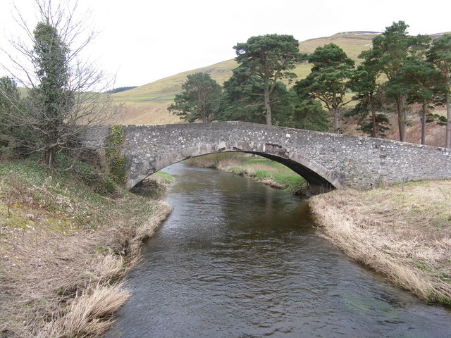
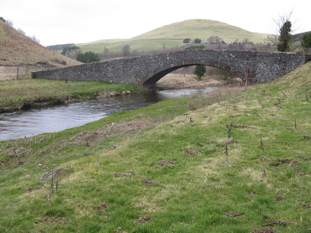
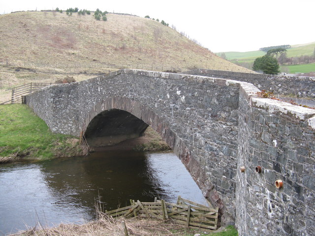
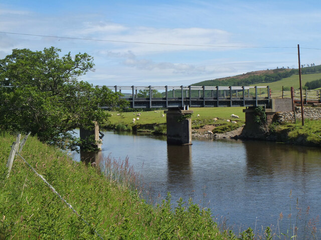
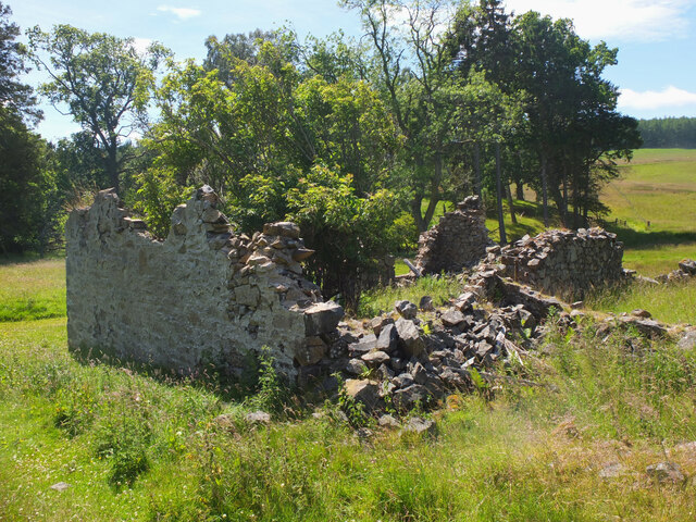
![Twin bridges over the Lyne Water Five Mile Bridge[s]. The new one, carrying the A72 Peebles-Blyth Bridge road, was built in 1988. The older and original bridge, now B-listed, dates from about 1775. The hill behind is Torbank Hill.](https://s1.geograph.org.uk/geophotos/02/31/69/2316993_3751a1b8.jpg)
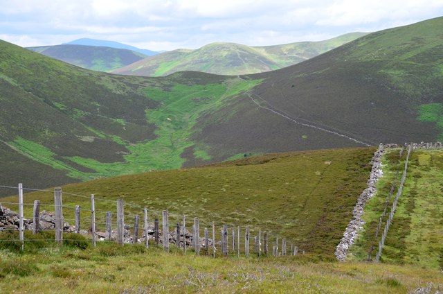
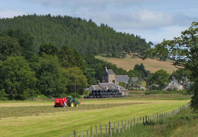
Great Hill is a prominent hill located in the scenic region of Peeblesshire, Scotland. Standing at an elevation of approximately 1,050 feet (320 meters), it is known for its commanding presence and breathtaking panoramic views of the surrounding countryside.
Situated near the charming village of Peebles, Great Hill is a popular destination for outdoor enthusiasts and nature lovers alike. The hill is easily accessible, with well-marked trails leading to its summit, making it an ideal location for hikers, walkers, and even mountain bikers.
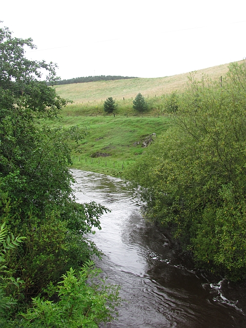
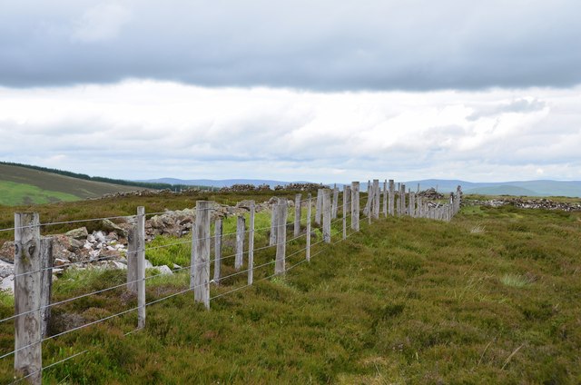
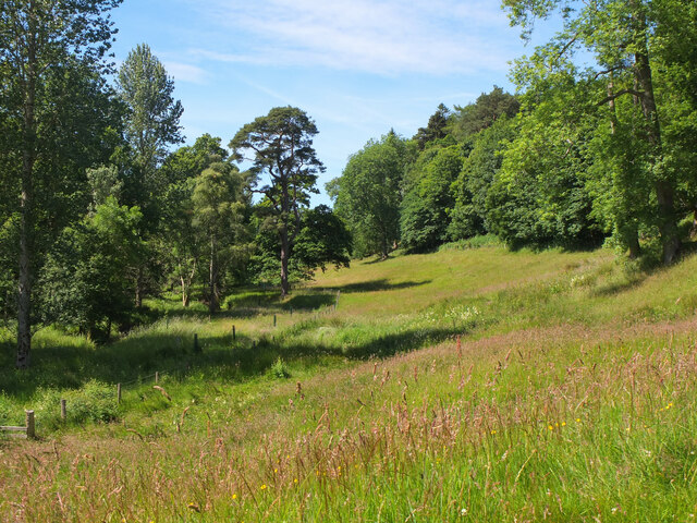
The landscape surrounding Great Hill is characterized by rolling hills, lush green meadows, and dense forests, creating a picturesque setting for exploration and adventure. As visitors ascend the hill, they are treated to stunning vistas of the Scottish Borders, with the winding River Tweed visible in the distance.
The hill itself boasts a diverse range of flora and fauna, with heather-covered slopes and scattered wildflowers adding a splash of color to the landscape. Birdwatchers can often spot a variety of avian species, including buzzards, kestrels, and even peregrine falcons soaring through the skies above.
For those seeking a tranquil escape from the hustle and bustle of everyday life, Great Hill offers a serene atmosphere and a sense of connection with nature. Whether it's a leisurely stroll or a more challenging hike, this majestic hill provides an opportunity to immerse oneself in the beauty of the Scottish countryside and create lasting memories.
If you have any feedback on the listing, please let us know in the comments section below.
Great Hill Images
Images are sourced within 2km of 55.638469/-3.3081825 or Grid Reference NT1739. Thanks to Geograph Open Source API. All images are credited.


Great Hill is located at Grid Ref: NT1739 (Lat: 55.638469, Lng: -3.3081825)
Unitary Authority: The Scottish Borders
Police Authority: The Lothians and Scottish Borders
What 3 Words
///cosmic.normal.irritate. Near Peebles, Scottish Borders
Nearby Locations
Related Wikis

Stobo Kirk
Stobo Kirk is an ancient church of the Church of Scotland. It is dedicated to St Mungo and is situated near the B712 off the A72 just 6 miles south-west...

Battle of Happrew
The Battle of Happrew was a skirmish which took place around 20 February 1304, during the First War of Scottish Independence. A chevauchée of English knights...

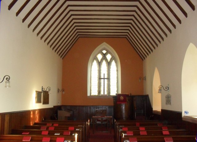
Lyne Kirk
Lyne Kirk is an ancient and historic kirk or church, of the Church of Scotland. It is situated on top of a mound adjacent to the A72 trunk route 4.5 miles...

Upper Tweeddale National Scenic Area
The Upper Tweeddale National Scenic Area lies in the Borders region of Scotland. It is one of 40 national scenic areas (NSA) in Scotland, which are defined...
Have you been to Great Hill?
Leave your review of Great Hill below (or comments, questions and feedback).