Drum Maw
Hill, Mountain in Peeblesshire
Scotland
Drum Maw

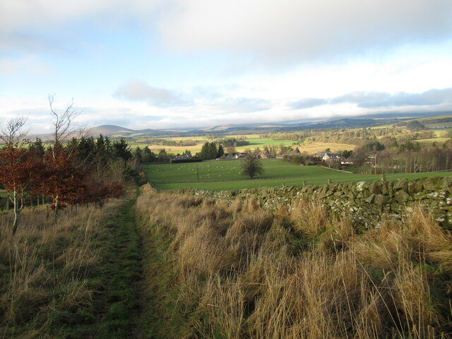
Drum Maw is a prominent hill located in the picturesque region of Peeblesshire, Scotland. Standing at an elevation of approximately 450 meters (1,480 feet), it offers breathtaking panoramic views of the surrounding countryside and is a popular destination for hikers and nature enthusiasts.
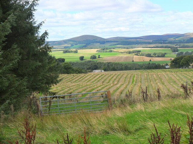
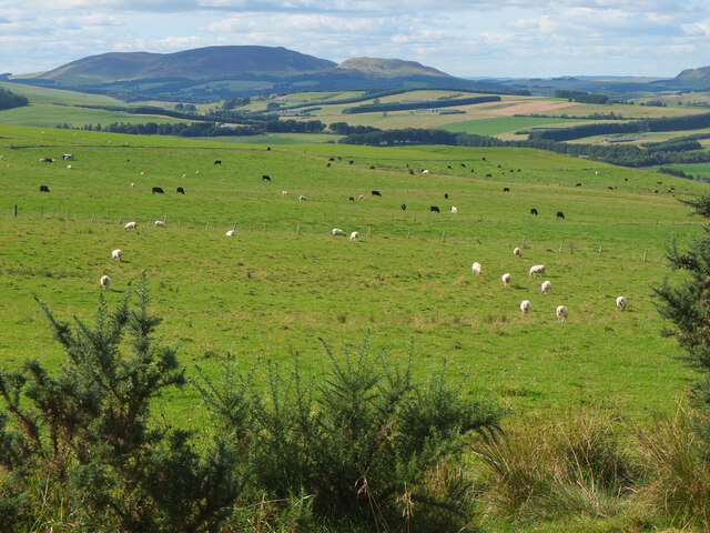
Situated just a few miles southeast of the town of Peebles, Drum Maw is part of the wider Tweeddale Hills range. Its distinctive conical shape and rugged terrain make it a distinguishing feature of the local landscape. The hill is covered in heather and grasses, creating a beautiful tapestry of colors, especially during the summer months.
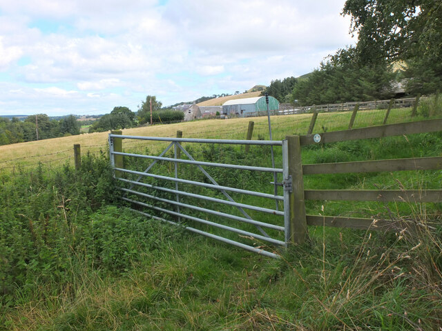
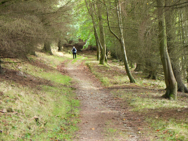
A well-marked trail leads visitors to the summit, where they can enjoy uninterrupted views of the rolling hills, lush valleys, and the winding River Tweed. On clear days, it is even possible to catch glimpses of the distant Pentland Hills to the north.
Drum Maw is also home to a diverse range of flora and fauna. The hillside supports a variety of bird species, including skylarks, meadow pipits, and kestrels. Wildflowers such as purple saxifrage and harebells add pops of color to the landscape, attracting butterflies and bees.
For those seeking outdoor adventure, Drum Maw offers opportunities for rock climbing and bouldering, with its craggy slopes providing suitable challenges for climbers of varying skill levels. The hill is also intersected by several walking trails, allowing visitors to explore the surrounding area and discover hidden gems along the way.
Overall, Drum Maw is a natural gem in Peeblesshire, providing a stunning backdrop for outdoor activities and a peaceful escape into the Scottish countryside.
If you have any feedback on the listing, please let us know in the comments section below.
Drum Maw Images
Images are sourced within 2km of 55.711064/-3.3109263 or Grid Reference NT1747. Thanks to Geograph Open Source API. All images are credited.


Drum Maw is located at Grid Ref: NT1747 (Lat: 55.711064, Lng: -3.3109263)
Unitary Authority: The Scottish Borders
Police Authority: The Lothians and Scottish Borders
What 3 Words
///trapdoor.chill.champions. Near West Linton, Scottish Borders
Nearby Locations
Related Wikis
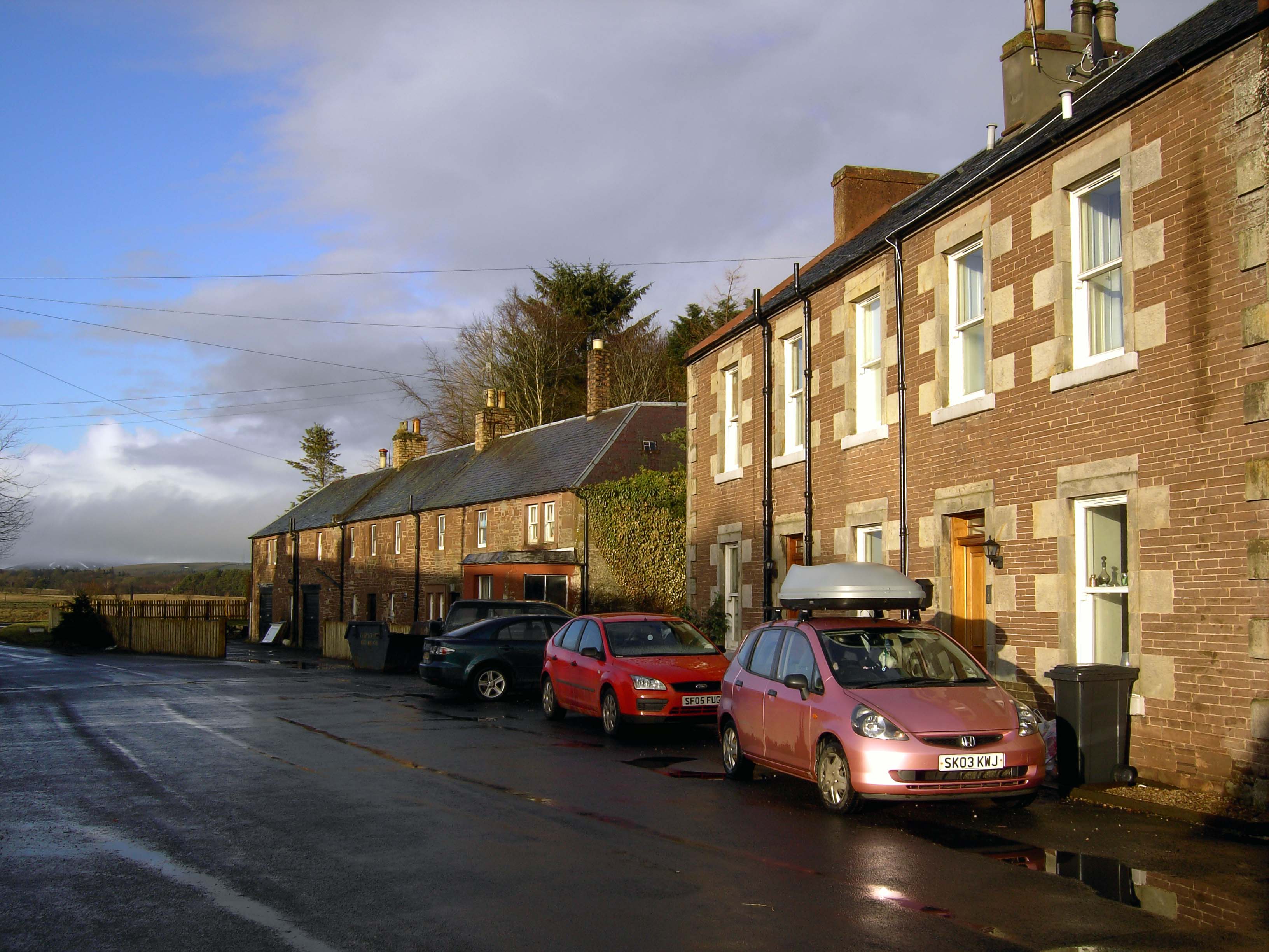
Romannobridge
Romanno Bridge is a village on the Lyne Water, on the A701, in the Scottish Borders area of Scotland. Settlements nearby include West Linton, Halmyre,...
Newlands, Scottish Borders
Newlands is a parish in the Tweeddale committee area of the Scottish Borders council area, in southeastern Scotland. == Geography == Newlands is on the...

Bordlands
Bordlands is a village in the Parish of Newlands in the Scottish Borders area of Scotland. The former name of Bordlands was Boreland. == See also == List...

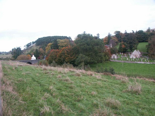
Drochil Castle
Drochil Castle is a ruined castle in the Scottish Borders. It is located above the Lyne Water, 10 kilometres (6.2 mi) north-west of Peebles, and 8 kilometres...
Nearby Amenities
Located within 500m of 55.711064,-3.3109263Have you been to Drum Maw?
Leave your review of Drum Maw below (or comments, questions and feedback).