Carn an Fhidhleir
Hill, Mountain in Angus
Scotland
Carn an Fhidhleir
The requested URL returned error: 429 Too Many Requests
If you have any feedback on the listing, please let us know in the comments section below.
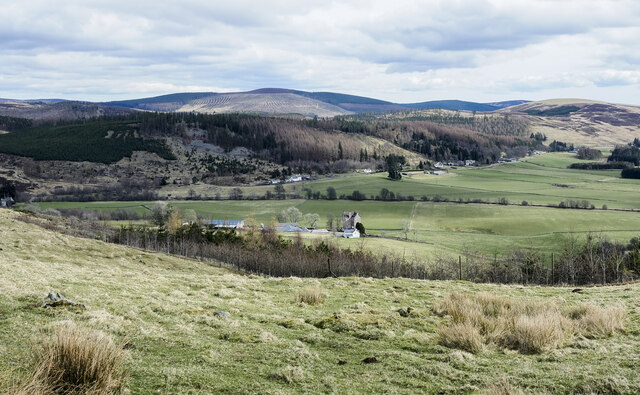
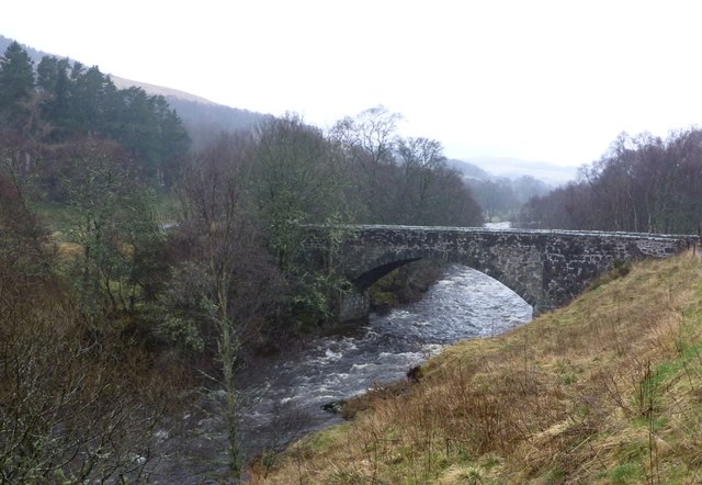
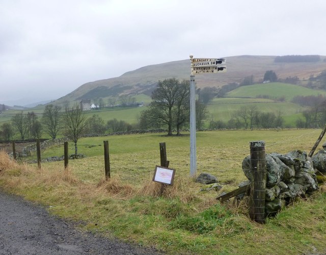
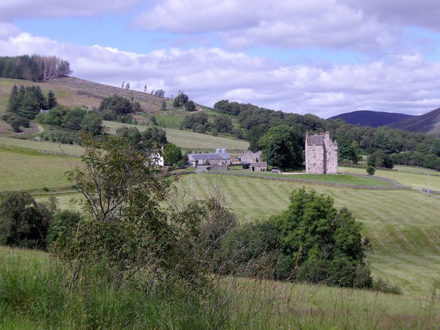
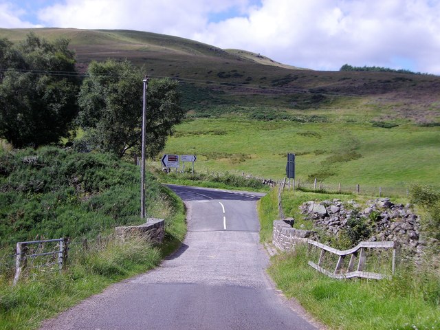
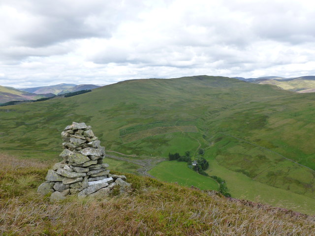
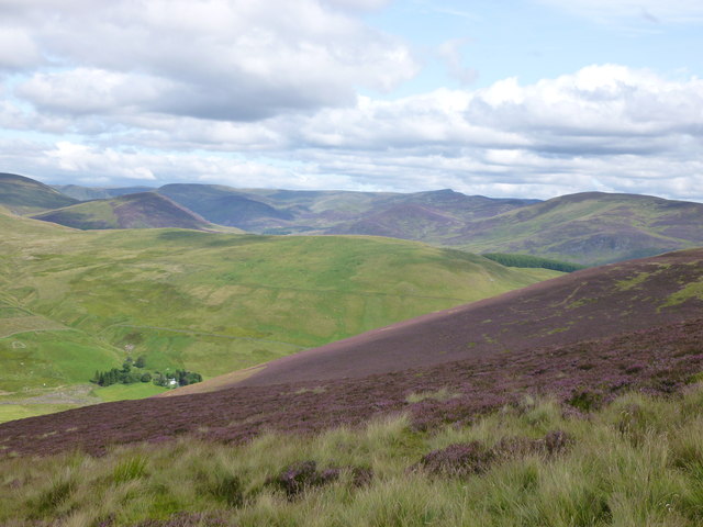
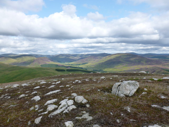
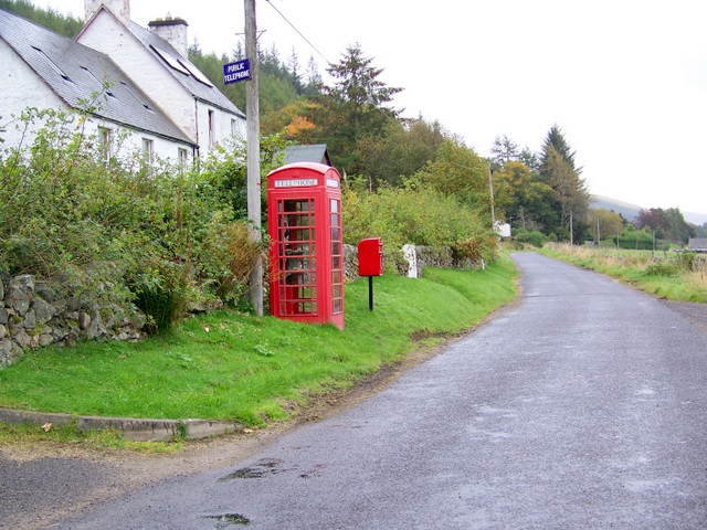
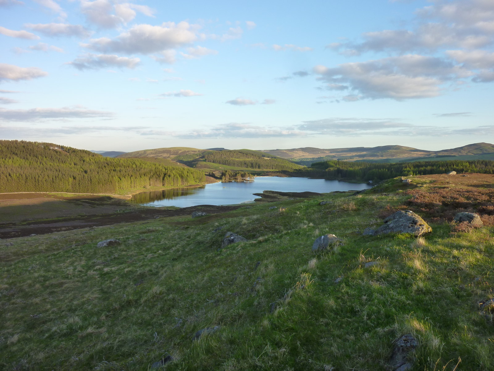
Carn an Fhidhleir Images
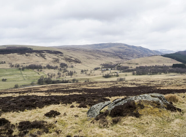
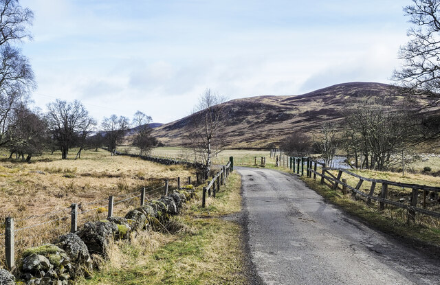
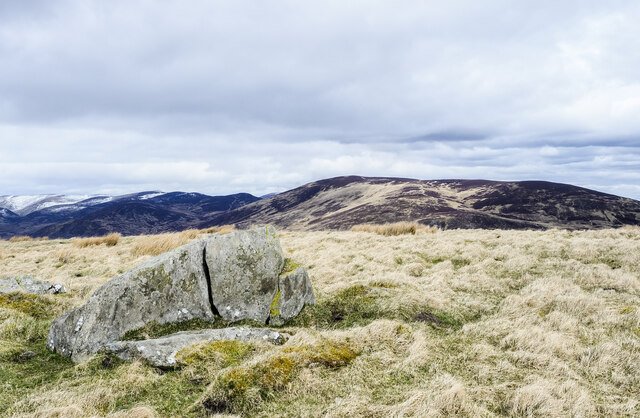
Images are sourced within 2km of 56.773926/-3.3521457 or Grid Reference NO1765. Thanks to Geograph Open Source API. All images are credited.


Carn an Fhidhleir is located at Grid Ref: NO1765 (Lat: 56.773926, Lng: -3.3521457)
Unitary Authority: Angus
Police Authority: Tayside
What 3 Words
///jumbo.stiff.revision. Near Alyth, Perth & Kinross
Nearby Locations
Related Wikis

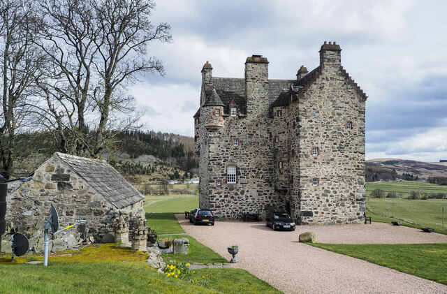
Forter Castle
Forter Castle is located in Glenisla, Perthshire, Scotland. It was built in 1560 by James Ogilvy, the 5th Lord of Airlie. In 1640, it was burned by Archibald...
Little Forter
Little Forter is a hamlet in Glen Isla, Angus, Scotland. It is on the River Isla, 13 miles (21 kilometres) north-west of Kirriemuir and 11 miles (18 kilometres...
Folda, Angus
Folda is a hamlet in Glen Isla, Angus, Scotland. It is situated on the River Isla, twelve miles north-west of Kirriemuir and eleven miles north of Blairgowrie...
Auchintaple Loch
Auchintaple Loch also known as Auchenchapel Loch, is a small shallow freshwater loch that is located in Glen Isla in Angus, Scotland. == See also == List...
Nearby Amenities
Located within 500m of 56.773926,-3.3521457Have you been to Carn an Fhidhleir?
Leave your review of Carn an Fhidhleir below (or comments, questions and feedback).