Dead for Cauld
Hill, Mountain in Peeblesshire
Scotland
Dead for Cauld
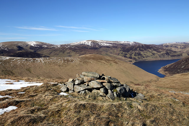
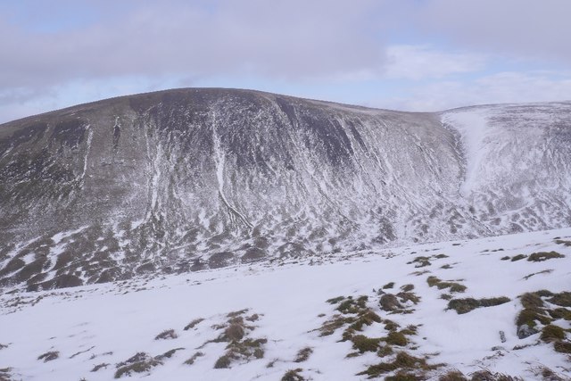
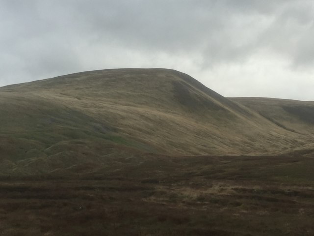
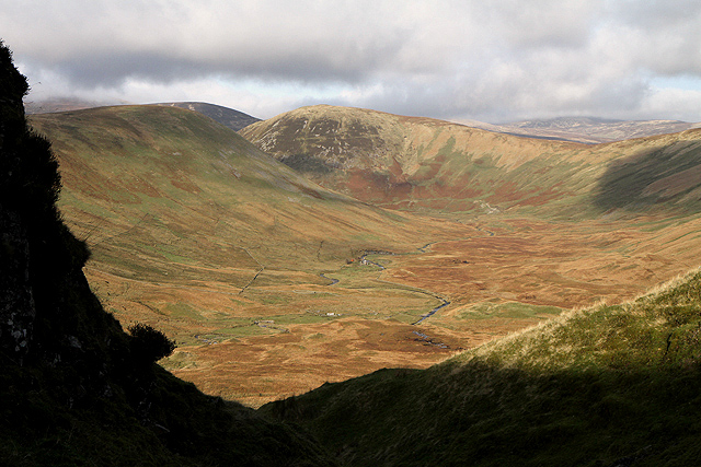
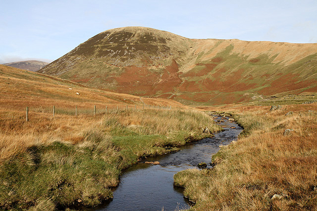
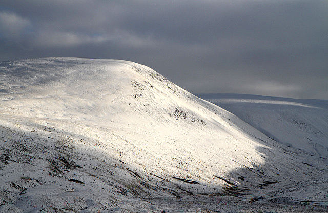
Dead for Cauld is a prominent hill located in Peeblesshire, Scotland. Standing at a height of approximately 1,579 feet (481 meters), it lies within the beautiful Tweed Valley and forms part of the Moorfoot Hills range. The hill is easily recognizable due to its distinct conical shape and the barren, rugged landscape that surrounds it.
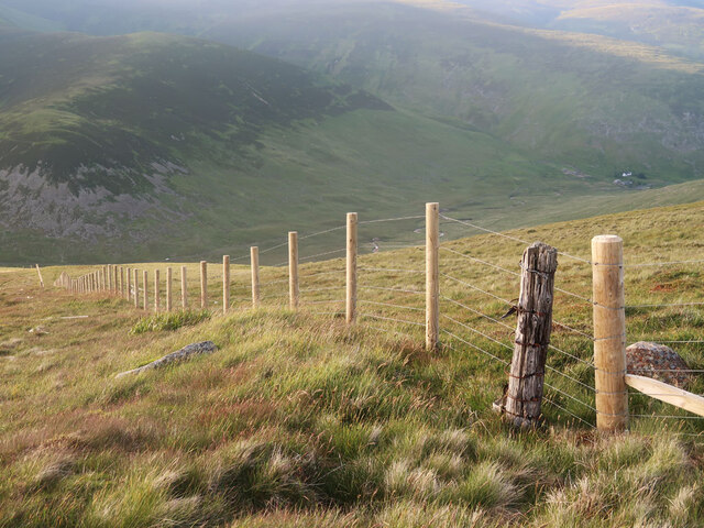
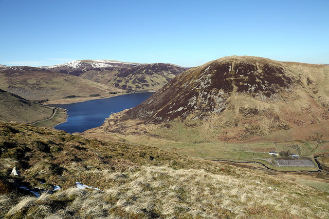
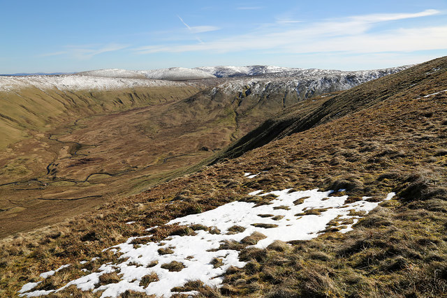
Covered in heather and grasses, Dead for Cauld offers breathtaking panoramic views of the surrounding countryside. On clear days, visitors can enjoy vistas extending as far as the Pentland Hills and the Southern Uplands. The hill is a popular destination for hikers and nature enthusiasts, offering a variety of walking trails to explore its slopes.
Despite its name, Dead for Cauld does not possess any historical or mythological significance related to death. The origins of its name remain uncertain, but it is believed to derive from the local dialect, where "cauld" means cold. This likely refers to the often chilly and exposed conditions experienced on the hill, especially during the winter months.
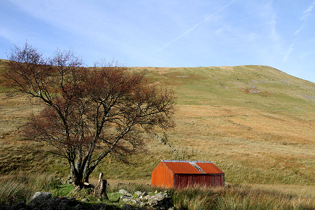
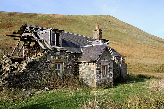
The hill provides a habitat for various wildlife species, including red grouse, red deer, and birds of prey such as buzzards and kestrels. Additionally, its slopes are dotted with remnants of past human activity, including the remains of old sheepfolds and abandoned farmsteads, providing glimpses into the area's historical agricultural practices.
Dead for Cauld is an ideal destination for those seeking a peaceful and serene escape into nature, offering magnificent views, diverse flora and fauna, and a glimpse into the region's rich history.
If you have any feedback on the listing, please let us know in the comments section below.
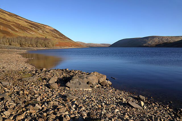
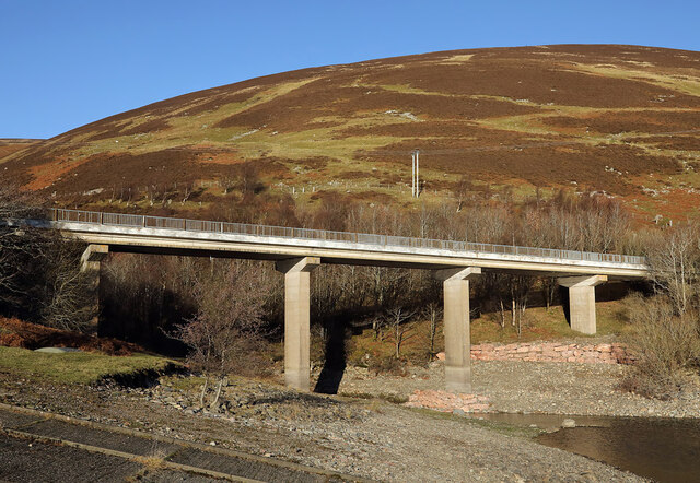
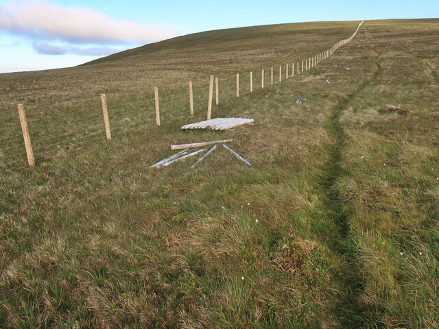
Dead for Cauld Images
Images are sourced within 2km of 55.47161/-3.309357 or Grid Reference NT1720. Thanks to Geograph Open Source API. All images are credited.


Dead for Cauld is located at Grid Ref: NT1720 (Lat: 55.47161, Lng: -3.309357)
Unitary Authority: The Scottish Borders
Police Authority: The Lothians and Scottish Borders
What 3 Words
///weary.city.convey. Near Ettrick, Scottish Borders
Nearby Locations
Related Wikis

Megget Reservoir
Megget Reservoir is an impounding reservoir in the Megget valley in Ettrick Forest, in the Scottish Borders. The 259 hectares (640 acres) reservoir is...

Megget
Megget is a former chapelry or parish containing the valley of Megget Water, now forming the westernmost part of the parish of Yarrow, Selkirkshire in...

Talla Water
Talla Water is a river in the Scottish Borders area of Scotland, near Tweedsmuir. It feeds the Talla Reservoir, and is a tributary of the River Tweed....

Broad Law
Broad Law is a hill in the Manor Hills range, part of the Southern Uplands of Scotland. The second-highest point in the Southern Uplands and the highest...
Nearby Amenities
Located within 500m of 55.47161,-3.309357Have you been to Dead for Cauld?
Leave your review of Dead for Cauld below (or comments, questions and feedback).