Hare Hill
Hill, Mountain in Midlothian
Scotland
Hare Hill

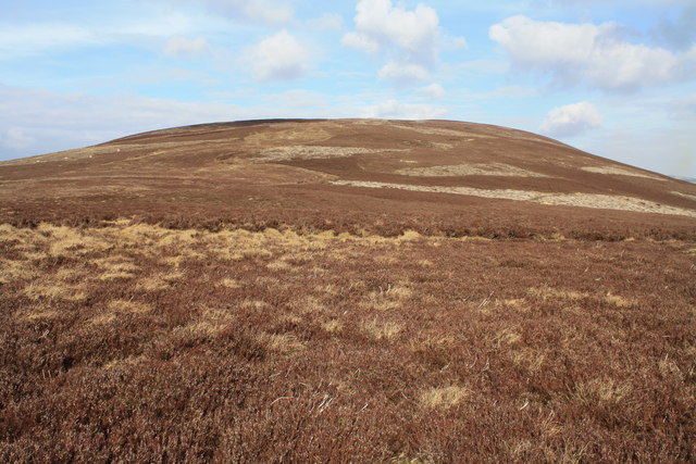
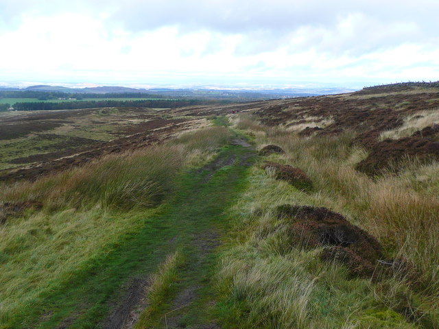
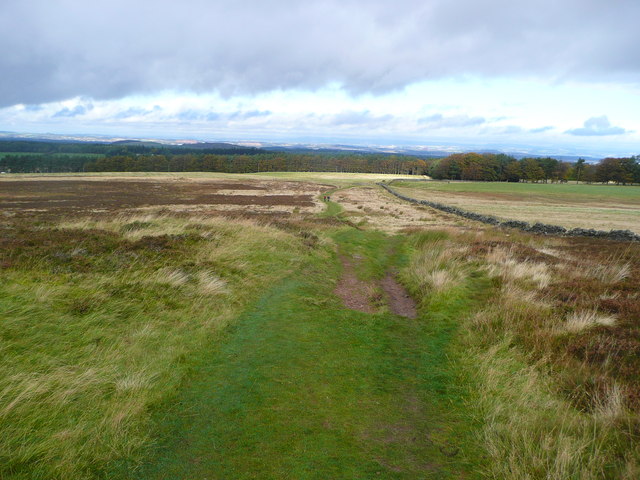
Hare Hill is a prominent hill located in Midlothian, Scotland. Rising to an elevation of approximately 245 meters, it offers stunning panoramic views of the surrounding countryside. The hill is a popular destination for hikers and nature enthusiasts, as it provides a challenging but rewarding climb with well-marked trails and paths.
Hare Hill is covered in a variety of vegetation, including grasses, shrubs, and trees, creating a diverse and vibrant ecosystem. The hill is also home to a variety of wildlife, including birds, small mammals, and insects.
At the summit of Hare Hill, visitors can enjoy breathtaking views of the surrounding landscape, including rolling hills, forests, and farmland. On a clear day, it is possible to see as far as the Pentland Hills and even the Firth of Forth.
Overall, Hare Hill is a beautiful natural landmark in Midlothian, offering visitors the opportunity to connect with nature and enjoy the peaceful surroundings. Whether it's a leisurely stroll or a more challenging hike, Hare Hill has something to offer for outdoor enthusiasts of all levels.
If you have any feedback on the listing, please let us know in the comments section below.
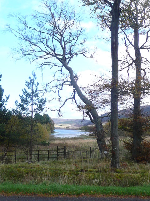
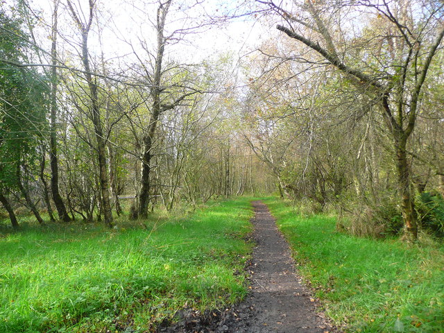
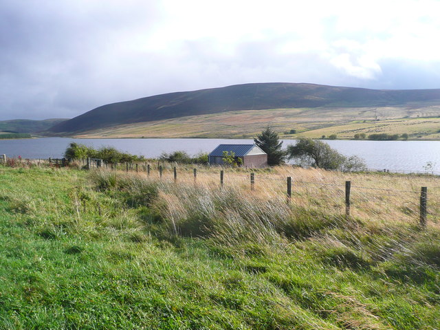
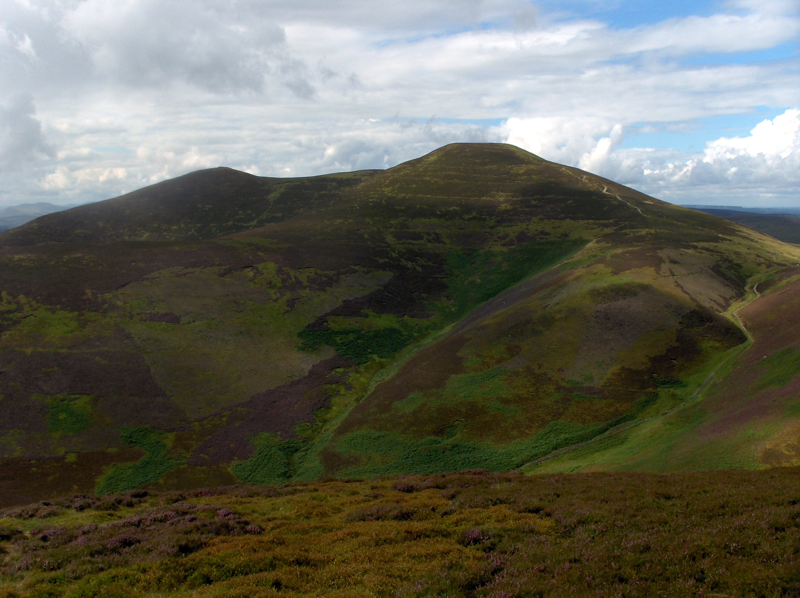
Hare Hill Images
Images are sourced within 2km of 55.844027/-3.3244701 or Grid Reference NT1761. Thanks to Geograph Open Source API. All images are credited.


Hare Hill is located at Grid Ref: NT1761 (Lat: 55.844027, Lng: -3.3244701)
Unitary Authority: Midlothian
Police Authority: The Lothians and Scottish Borders
What 3 Words
///hangs.graph.lush. Near Balerno, Edinburgh
Nearby Locations
Related Wikis

Bavelaw Castle
Bavelaw Castle is a historic house in the City of Edinburgh Council area, Scotland. It is north of Hare Hill in the Pentland Hills, four miles west of...

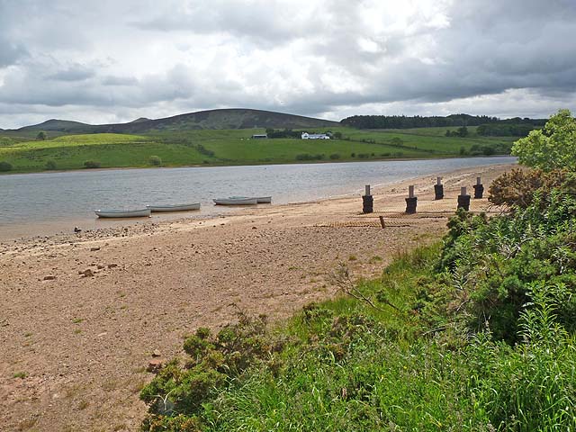
Threipmuir Reservoir
Threipmuir Reservoir is a reservoir in the City of Edinburgh Council area, Scotland, UK. It is situated to the south of Edinburgh at the base of the Pentland...
Scald Law
Scald Law is a hill in Midlothian, Scotland. At 579 metres (1,900 ft) it is the highest of the Pentland Hills. The hill is composed of Devonian volcanic...

Loganlea Reservoir
Loganlea Reservoir is a small reservoir in the Pentland Hills, Midlothian, Scotland, UK. The Logan Burn connects the reservoir with Glencorse Reservoir...
Nearby Amenities
Located within 500m of 55.844027,-3.3244701Have you been to Hare Hill?
Leave your review of Hare Hill below (or comments, questions and feedback).