Carn Drochaid

Hill, Mountain in Banffshire

Scotland

Carn Drochaid

Carn Dearg and Meall Gaineimh Outlying tops of  Ben Avon - Carn Dearg is the nearer hill not seen against the sky, Meall Gaineimh is the rounded top on the right.
Carn Dearg and Meall Gaineimh Credit: Richard Webb

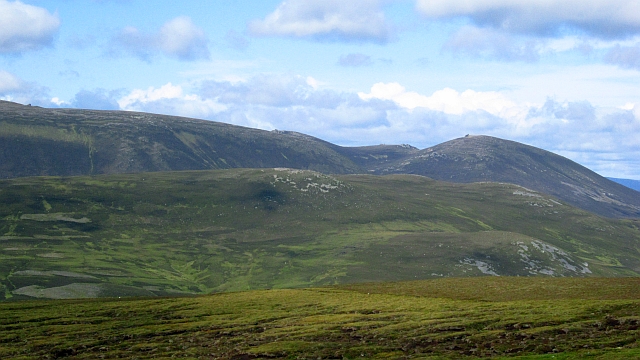
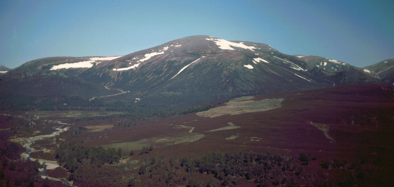
Carn Drochaid is a prominent hill located in Banffshire, Scotland. It is part of the Grampian Mountains range and stands at an elevation of approximately 769 meters (2,523 feet). The hill is known for its rugged and rocky terrain, making it a popular destination for hikers and outdoor enthusiasts.

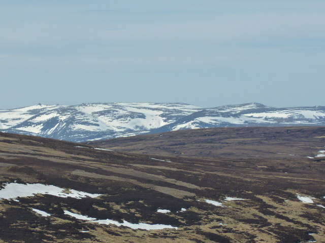
Carn Drochaid offers breathtaking panoramic views of the surrounding landscape, including the nearby Strathdon valley and the Cairngorms National Park. On a clear day, visitors can even catch a glimpse of the North Sea coastline.

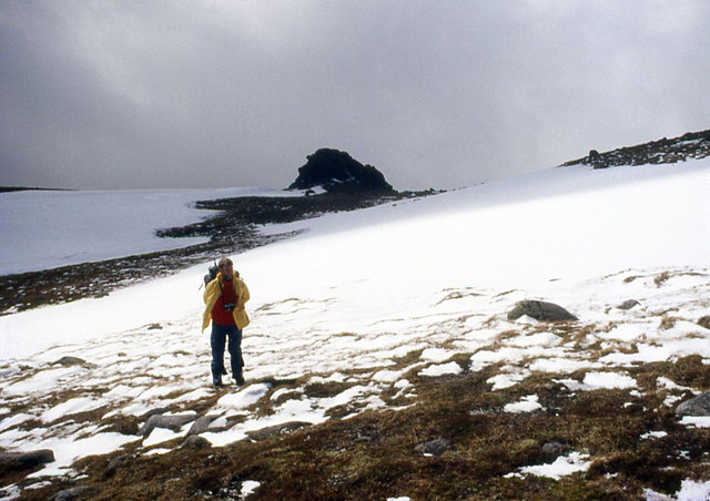
The hill is composed mainly of granite and features steep slopes and craggy cliffs, adding to its dramatic appearance. The challenging terrain provides an exhilarating experience for those seeking a more adventurous hike. It is advisable for visitors to come prepared with appropriate hiking gear and be cautious of the steep and uneven paths.

The area surrounding Carn Drochaid is rich in wildlife and offers opportunities for birdwatching and nature photography. Visitors may encounter various bird species, including golden eagles, peregrine falcons, and red grouse. The hill is also home to a diverse range of plant life, including heather, mosses, and lichens.

Access to Carn Drochaid is relatively easy, with a number of walking routes available for visitors. The hill is located near the village of Bellabeg, and there are car parks nearby for convenience. It is recommended to check local weather conditions before visiting, as the hill can be subject to rapid weather changes.

If you have any feedback on the listing, please let us know in the comments section below.

Carn Drochaid Images

Images are sourced within 2km of 57.09769/-3.3797934 or Grid Reference NJ1601. Thanks to Geograph Open Source API. All images are credited.

Carn Dearg and Meall Gaineimh Outlying tops of  Ben Avon - Carn Dearg is the nearer hill not seen against the sky, Meall Gaineimh is the rounded top on the right.
Carn Dearg and Meall Gaineimh
Outlying tops of Ben Avon - Carn Dearg is the nearer hill not seen against the sky, Meall Gaineimh is the rounded top on the right.
Footbridge across the River Gairn Bulldozed track up to Bealach Dubh and drovers' road over to Inver in background. Bridge no longer exists.
Footbridge across the River Gairn
Bulldozed track up to Bealach Dubh and drovers' road over to Inver in background. Bridge no longer exists.
Moorland to the East of Ben Avon
Big Brae near East Muir Gorm Craig
Long-range view of Ben Avon Taken from Hunt Hill, more than 30 kilometres away.  There are some deep snowdrifts on Ben Avon, but not exceptional, since the west Highlands saw the heaviest snowfalls in winter 2014-15, with the Cairngorms being less favoured for snow by the prevailing westerly/north-westerly winds.
Long-range view of Ben Avon
Taken from Hunt Hill, more than 30 kilometres away. There are some deep snowdrifts on Ben Avon, but not exceptional, since the west Highlands saw the heaviest snowfalls in winter 2014-15, with the Cairngorms being less favoured for snow by the prevailing westerly/north-westerly winds.
River Gairn A remarkable dry stalkers' path runs high upon the northern banks of River Gairn.
River Gairn
A remarkable dry stalkers' path runs high upon the northern banks of River Gairn.
Lower part of Allt an Eas Mhoir This picture taken on the John Muir Trust Walk for the Wild in 2006. Keith Miller is carrying the eastern baton, followed by Colin Kinnear, who I see has recently posted images just West of this on an earlier point on the traverse. Part of the reason for the picture was the erosion-inducing muir burn which has taken place on the hillside in the background.
Lower part of Allt an Eas Mhoir
This picture taken on the John Muir Trust Walk for the Wild in 2006. Keith Miller is carrying the eastern baton, followed by Colin Kinnear, who I see has recently posted images just West of this on an earlier point on the traverse. Part of the reason for the picture was the erosion-inducing muir burn which has taken place on the hillside in the background.
Summit tors of Ben Avon
Flank of Carn Tiekeiver
Walking on Ben Avon plateau
Remains of foot bridge All that remains of the foot bridge shown in the original 'Geograph' image. See <a href="https://www.geograph.org.uk/photo/3407672">NJ1700 : Footbridge across the River Gairn</a>
Remains of foot bridge
All that remains of the foot bridge shown in the original 'Geograph' image. See NJ1700 : Footbridge across the River Gairn
Ford through River Gairn Ford just upstream of what was the foot bridge
Ford through River Gairn
Ford just upstream of what was the foot bridge
Shooting hut Newish shooting hut / lodge
Shooting hut
Newish shooting hut / lodge
Shooting hut with stream ford
Ford through Allt Coire na Cloiche
Shooting hut Gable end of shooting hut with interesting window layout
Shooting hut
Gable end of shooting hut with interesting window layout
Shooting hut Gable end of shooting hut with interesting window layout
Shooting hut
Gable end of shooting hut with interesting window layout
Allt Bad a' Mhonaidh
Show me another place!

Carn Drochaid is located at Grid Ref: NJ1601 (Lat: 57.09769, Lng: -3.3797934)

Unitary Authority: Aberdeenshire

Police Authority: North East

What 3 Words

///doghouse.fastening.factory. Near Inverey, Aberdeenshire

Nearby Locations

Carn Drochaid

Related Wikis

Ben Avon

Ben Avon (Scottish Gaelic: Beinn Athfhinn, 'mountain of the Avon') is a mountain in the Cairngorms of Scotland. It is a sprawling mountain with a broad...

Culardoch

Culardoch (900 m) is a mountain in the Cairngorms of Scotland, located northeast of Braemar in Aberdeenshire. A smooth and heathery peak southeast of the...

Beinn a' Bhùird

Beinn a' Bhùird is a Munro in the Cairngorm mountain range of Scotland. In Watson (1975) the author suggests the mountain should be named Beinn Bòrd -...

Invercauld Castle

Invercauld Castle () is a country house situated in Royal Deeside near Braemar in Scotland. It is protected as a category A listed building, and the grounds...

Delnadamph Lodge

Delnadamph Lodge was located on the Balmoral Estate about 8 miles (13 km) north of the castle. The lodge and its estate lands were bought by Queen Elizabeth...
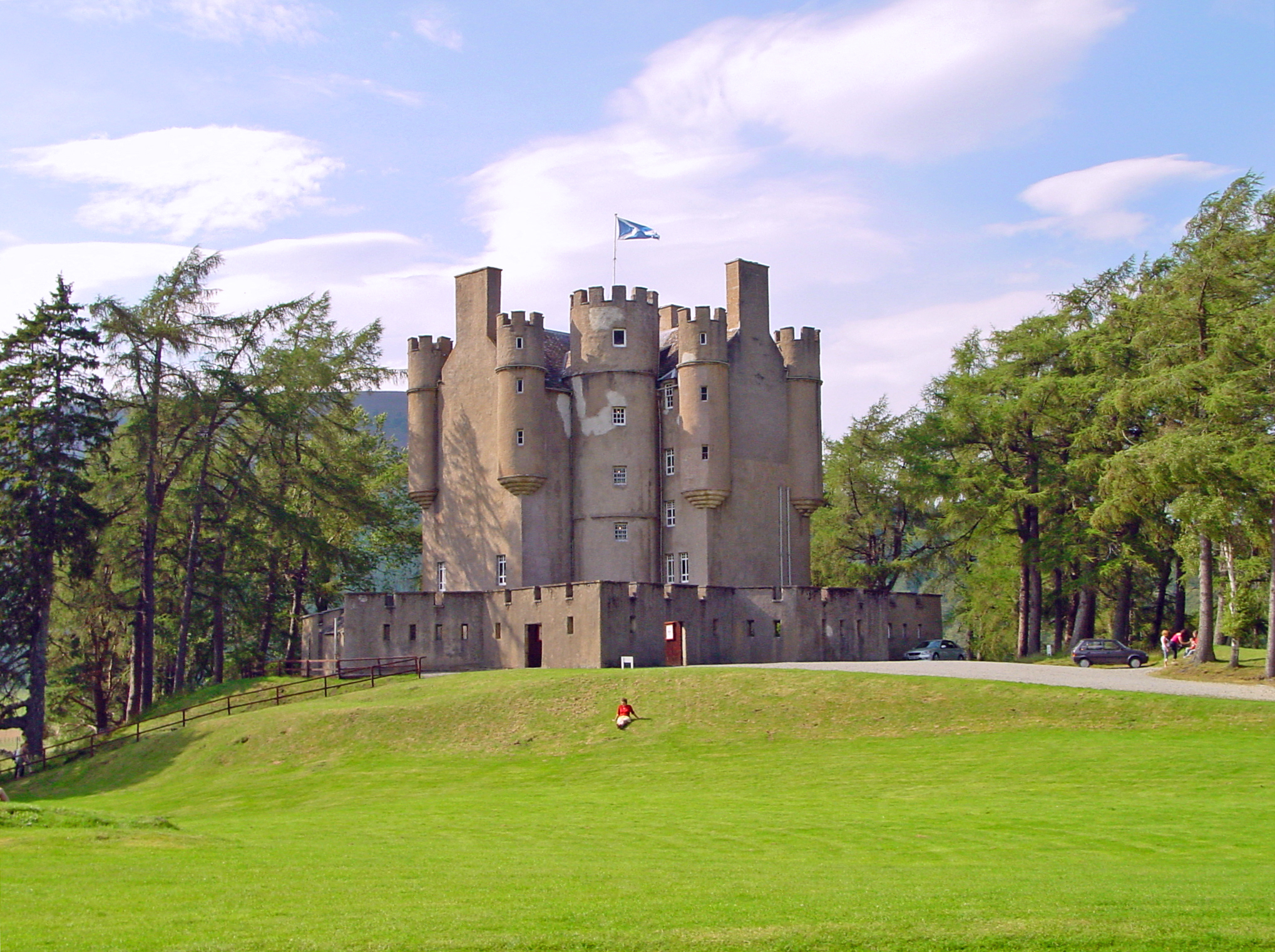
Braemar Castle

Braemar Castle is situated near the village of Braemar in Aberdeenshire, Scotland. It is a possession of the chief of Clan Farquharson and is leased to...
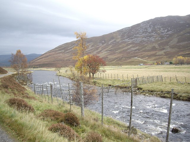
Clunie Water

Clunie Water is a river of Aberdeenshire, Scotland. It is a tributary of the River Dee, joining the river at Braemar, among grey stone buildings. Callater...

Nearby Amenities

Located within 500m of 57.09769,-3.3797934
Carn Drochaid
Ele: 743
Natural: peak
Lat/Long: 57.0970953/-3.3785963
The data included in this document is from www.openstreetmap.org. The data is made available under ODbL.

Have you been to Carn Drochaid?

Leave your review of Carn Drochaid below (or comments, questions and feedback).