Broomlee Hill

Hill, Mountain in Peeblesshire

Scotland

Broomlee Hill

Broomlee Hill Trig Point Flush Bracket S3137
Broomlee Hill Trig Point Flush Bracket S3137 Credit: thejackrustles

Broomlee Hill is a prominent hill located in Peeblesshire, Scotland. Situated near the town of West Linton, it is part of the stunning Pentland Hills range. With an elevation of approximately 488 meters (1,601 feet), Broomlee Hill offers breathtaking panoramic views of the surrounding countryside.

The hill is primarily covered in heather and grass, creating a picturesque landscape that changes with the seasons. It is a popular destination for outdoor enthusiasts, hikers, and nature lovers, who can explore its rugged terrain and enjoy the tranquility of the area. Broomlee Hill is also home to a variety of wildlife, including birds such as buzzards and kestrels, as well as deer and rabbits.

The hill is easily accessible via well-maintained paths that lead to the summit, making it a suitable destination for people of all fitness levels. From the top, visitors are rewarded with far-reaching vistas of the Pentland Hills, the Tweed Valley, and the rolling countryside of Peeblesshire. On clear days, it is even possible to catch a glimpse of the majestic Edinburgh skyline in the distance.

Broomlee Hill is a place of natural beauty and tranquility, offering visitors the opportunity to connect with nature and escape the hustle and bustle of everyday life. Whether one seeks a challenging hike or a peaceful retreat, this hill provides a memorable experience for all who venture to its summit.

If you have any feedback on the listing, please let us know in the comments section below.

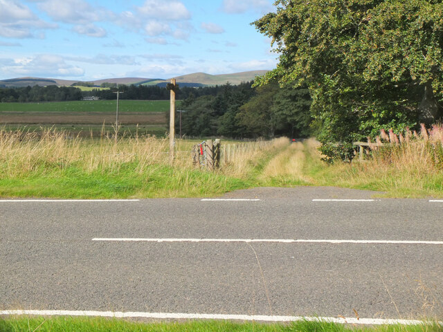
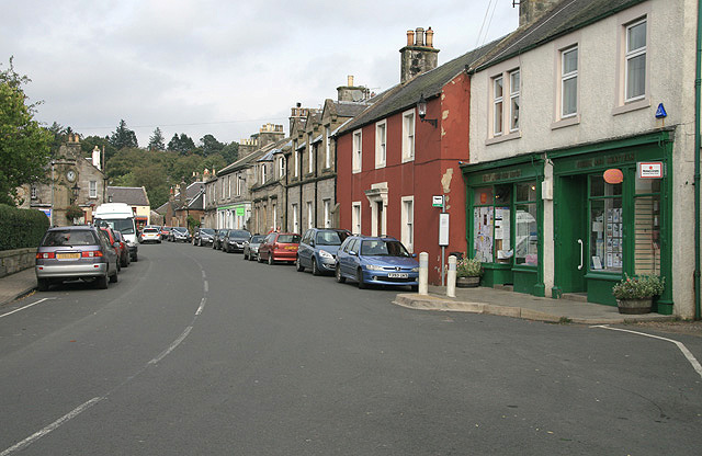
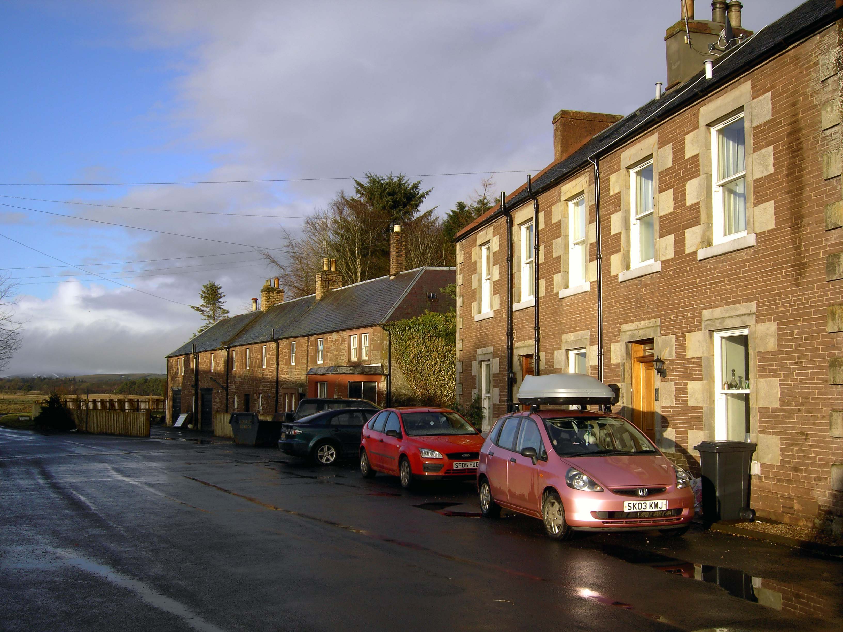
Broomlee Hill Images

Images are sourced within 2km of 55.744596/-3.3321385 or Grid Reference NT1650. Thanks to Geograph Open Source API. All images are credited.

Broomlee Hill Trig Point Flush Bracket S3137
Gatepost with - OS Cut Mark - Kaimes <span class="nowrap"><a title="https://www.bench-marks.org.uk/bm30104" rel="nofollow ugc noopener" href="https://www.bench-marks.org.uk/bm30104">Link</a><img style="margin-left:2px;" alt="External link" title="External link - shift click to open in new window" src="https://s1.geograph.org.uk/img/external.png" width="10" height="10"/></span>
Gatepost with - OS Cut Mark - Kaimes
OS Cut Mark - Kaimes <span class="nowrap"><a title="https://www.bench-marks.org.uk/bm30104" rel="nofollow ugc noopener" href="https://www.bench-marks.org.uk/bm30104">Link</a><img style="margin-left:2px;" alt="External link" title="External link - shift click to open in new window" src="https://s1.geograph.org.uk/img/external.png" width="10" height="10"/></span>
OS Cut Mark - Kaimes
Entrance to Kaimes
Entrance to Kaimes
Main Street, West Linton Outside Bank House with a fine engraved gatepost.
Main Street, West Linton
Outside Bank House with a fine engraved gatepost.
St Andrew New Church Hall A former school building, now used for pre school learning, West Linton
St Andrew New Church Hall
A former school building, now used for pre school learning, West Linton
St Andrew New Church Hall A former school building, now used for pre school learning, West Linton
St Andrew New Church Hall
A former school building, now used for pre school learning, West Linton
Bridge and ford, West Linton Foot of Chapel Brae
Bridge and ford, West Linton
Foot of Chapel Brae
Lyne Water, West Linton
Pyramidal Obelisk near West Linton Well, it probably can't officially be called an obelisk, due to having such sloping sides, but its only description on a map is 'pillar' (this only shows up on very detailed online mapping, which is a bit odd considering the size of the structure) which is probably even less accurate a term.
The real conundrum with this thing regards what it is doing here in the first place! Investigations weren't that straightforward, but OS maps from around 1910 show the route of a pipeline, or 'conduit' as they put it, right at the spot of the obelisk. The pipeline runs underground (apart from occasional aqueducts) so it seems a little odd for it to get plotted on maps. It takes water from the two mile long Talla Reservoir, a good way south of here, to southern Edinburgh, and its overall length is around 35 miles.
Although online information is a bit sketchy there are mentions of similar structures along the pipe's route. Apparently they are surveying towers. As the water gets to its destination solely by gravity accuracy was obviously required, but this still doesn't really explain why it is so grand. My best guess is that because the money required to convert a small water body into a massive reservoir was so huge, the money spent on these was just a drop in the ocean. Plus railway lines had to be constructed from various places to transport materials for the building of the reservoir at the turn of the 20th century. As with everything railway-related, there is a colossal amount of online information regarding them.
Thinking information about the structure would be readily available online I didn't bother measuring it, but I reckon it's around 20 feet high with a four foot square base. There were no obvious markings.
Pyramidal Obelisk near West Linton
Well, it probably can't officially be called an obelisk, due to having such sloping sides, but its only description on a map is 'pillar' (this only shows up on very detailed online mapping, which is a bit odd considering the size of the structure) which is probably even less accurate a term. The real conundrum with this thing regards what it is doing here in the first place! Investigations weren't that straightforward, but OS maps from around 1910 show the route of a pipeline, or 'conduit' as they put it, right at the spot of the obelisk. The pipeline runs underground (apart from occasional aqueducts) so it seems a little odd for it to get plotted on maps. It takes water from the two mile long Talla Reservoir, a good way south of here, to southern Edinburgh, and its overall length is around 35 miles. Although online information is a bit sketchy there are mentions of similar structures along the pipe's route. Apparently they are surveying towers. As the water gets to its destination solely by gravity accuracy was obviously required, but this still doesn't really explain why it is so grand. My best guess is that because the money required to convert a small water body into a massive reservoir was so huge, the money spent on these was just a drop in the ocean. Plus railway lines had to be constructed from various places to transport materials for the building of the reservoir at the turn of the 20th century. As with everything railway-related, there is a colossal amount of online information regarding them. Thinking information about the structure would be readily available online I didn't bother measuring it, but I reckon it's around 20 feet high with a four foot square base. There were no obvious markings.
Broomlee Hill A short detour from the large mobile phone mast, which is passed on the poorly waymarked (along this wiggly bit anyway) Cross Borders Drove Road, brings you to the trig point. This medium-length Long Distance Path runs from the Western side of the Pentland Hills to Hawick. It is based on the route said to have been used long ago by cattle drovers to get their animals to English markets. 'Based' is certainly the operative word round here as it seems highly unlikely that such an odd circuitous route would have been used for any length of time, even if there were access problems with some of the surrounding land.
I was surprised to read that the route has been designed with horse riders in mind. They would certainly be advised to skip this section, and stay on the road until reaching the A701.
Broomlee Hill
A short detour from the large mobile phone mast, which is passed on the poorly waymarked (along this wiggly bit anyway) Cross Borders Drove Road, brings you to the trig point. This medium-length Long Distance Path runs from the Western side of the Pentland Hills to Hawick. It is based on the route said to have been used long ago by cattle drovers to get their animals to English markets. 'Based' is certainly the operative word round here as it seems highly unlikely that such an odd circuitous route would have been used for any length of time, even if there were access problems with some of the surrounding land. I was surprised to read that the route has been designed with horse riders in mind. They would certainly be advised to skip this section, and stay on the road until reaching the A701.
Track on Broomlee Hill A good view opens up from the track on the Cross Borders Drove Road.
Track on Broomlee Hill
A good view opens up from the track on the Cross Borders Drove Road.
Path near Woodend Quarry The path down from Broomlee Hill has been re-routed through a new tree plantation east of the quarry.
Path near Woodend Quarry
The path down from Broomlee Hill has been re-routed through a new tree plantation east of the quarry.
New deer fence, Woodend A fence with a pedestrian gate enclosing new tree plantation east of Woodend Quarry.
New deer fence, Woodend
A fence with a pedestrian gate enclosing new tree plantation east of Woodend Quarry.
Path junction near Kaimes A signpost for the Cross Borders Drove Road taking a field edge route to the A701 and Romannobridge.
Path junction near Kaimes
A signpost for the Cross Borders Drove Road taking a field edge route to the A701 and Romannobridge.
Farmland near Halmyre House The Cross Borders Drove Road follows field edges southwest to reach the A701 and Romannobridge.
Farmland near Halmyre House
The Cross Borders Drove Road follows field edges southwest to reach the A701 and Romannobridge.
Drove Road crossing the A701 at Halmyre Vigilance needed here where the Cross Borders Drove Road from West Linton crosses a fast stretch on the A701.
Drove Road crossing the A701 at Halmyre
Vigilance needed here where the Cross Borders Drove Road from West Linton crosses a fast stretch on the A701.
Ruined steading, Halmyre Mains A conversion abandoned in 2008 shortly after the removal of the roof.  An attempt at revival of the project in 2011: <a href="https://www.geograph.org.uk/photo/2261220">NT1749 : Halmyre Mains</a>
Ruined steading, Halmyre Mains
A conversion abandoned in 2008 shortly after the removal of the roof. An attempt at revival of the project in 2011: NT1749 : Halmyre Mains
Show me another place!

Broomlee Hill is located at Grid Ref: NT1650 (Lat: 55.744596, Lng: -3.3321385)

Unitary Authority: The Scottish Borders

Police Authority: The Lothians and Scottish Borders

What 3 Words

///blossom.ambushed.envoy. Near West Linton, Scottish Borders

Related Wikis

Broomlee railway station

Broomlee railway station served the village of West Linton, Peeblesshire, Scotland, from 1864 to 1933 on the Leadburn, Linton and Dolphinton Railway....

West Linton

West Linton (Scottish Gaelic: Liontan Ruairidh) is a village and civil parish in southern Scotland, on the A702. It was formerly in the county of Peeblesshire...

Macbie Hill railway station

Macbie Hill railway station served the hamlet of Coalyburn, Peeblesshire, Scotland, from 1864 to 1933 on the Leadburn, Linton and Dolphinton Railway....

Romannobridge

Romanno Bridge is a village on the Lyne Water, on the A701, in the Scottish Borders area of Scotland. Settlements nearby include West Linton, Halmyre,...

Nearby Amenities

Located within 500m of 55.744596,-3.3321385
Man Made: tower
Tower Type: communication
Lat/Long: 55.7433284/-3.3324428
Broomlee Hill
Natural: peak
Lat/Long: 55.7445417/-3.3320546
Power: pole
Lat/Long: 55.7417448/-3.3382005
Power: pole
Lat/Long: 55.7423093/-3.3371703
Power: pole
Lat/Long: 55.7430916/-3.3371241
Power: pole
Lat/Long: 55.7436466/-3.3370105
Power: pole
Lat/Long: 55.7441247/-3.3362495
Power: pole
Lat/Long: 55.744591/-3.3354947
Power: pole
Lat/Long: 55.7450773/-3.3347063
Power: pole
Lat/Long: 55.7455436/-3.3339369
Power: pole
Lat/Long: 55.7461483/-3.3328016
Power: pole
Lat/Long: 55.7466405/-3.3318744
Power: pole
Lat/Long: 55.7472003/-3.3308316
Power: pole
Lat/Long: 55.747902/-3.3300496
Power: pole
Lat/Long: 55.7422347/-3.3386273
Power: pole
Lat/Long: 55.7420809/-3.3367099
Power: pole
Lat/Long: 55.741888/-3.3363378
Power: pole
Lat/Long: 55.7414749/-3.3354022
Power: pole
Lat/Long: 55.7410879/-3.3345318
Power: pole
Lat/Long: 55.7405897/-3.3333251
Power: pole
Lat/Long: 55.7406476/-3.3318513
Power: pole
Lat/Long: 55.7406844/-3.3309157
Power: pole
Lat/Long: 55.7407282/-3.3300285
Power: pole
Lat/Long: 55.7407826/-3.3287377
Power: pole
Lat/Long: 55.7413708/-3.3319186
Power: pole
Lat/Long: 55.7420986/-3.3319816
Power: pole
Lat/Long: 55.7429271/-3.3320531
The data included in this document is from www.openstreetmap.org. The data is made available under ODbL.

Have you been to Broomlee Hill?

Leave your review of Broomlee Hill below (or comments, questions and feedback).