Black Hill

Hill, Mountain in Perthshire

Scotland

Black Hill

River Earn Looks calm, but I was being pulled along at 2-4kph on the ebb tide.
River Earn Credit: Richard Webb

Black Hill is a prominent hill located in Perthshire, Scotland. Rising to an elevation of approximately 732 meters (2,402 feet), it is a popular destination for hikers and nature enthusiasts. The hill is situated within the wider Ochil Hills range, which is known for its stunning landscapes and diverse wildlife.

Black Hill offers breathtaking panoramic views of the surrounding countryside, including the nearby towns of Auchterarder and Dunning. On a clear day, it is even possible to see as far as the Grampian Mountains to the north. The hill's summit is marked by a trig point, providing a sense of achievement for those who reach the top.

The terrain of Black Hill is predominantly heather moorland, interspersed with patches of woodland and rocky outcrops. The hill is home to a variety of plant species, including bilberry, heather, and various grasses. It also supports a range of animal life, such as red grouse, mountain hares, and various bird species.

Access to Black Hill is relatively straightforward, with several well-marked trails leading to the summit. The most popular approach is from the village of Auchterarder, where a car park is available for visitors. From there, a well-defined path leads up the hill, gradually ascending through heather-covered slopes. The ascent can be challenging at times, but the reward of reaching the summit and enjoying the breathtaking views makes it all worthwhile.

Overall, Black Hill offers a memorable outdoor experience, providing visitors with a chance to immerse themselves in the natural beauty of Perthshire's landscape. Whether for hiking, photography, or simply enjoying a peaceful retreat, this hill is a must-visit destination for nature lovers.

If you have any feedback on the listing, please let us know in the comments section below.
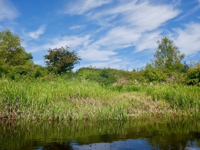
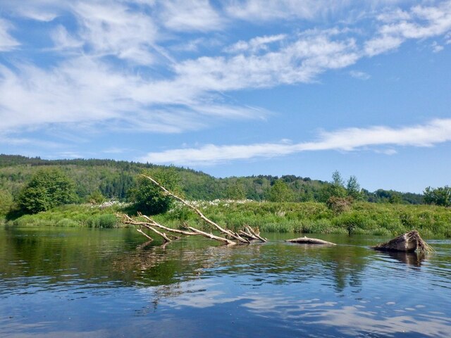
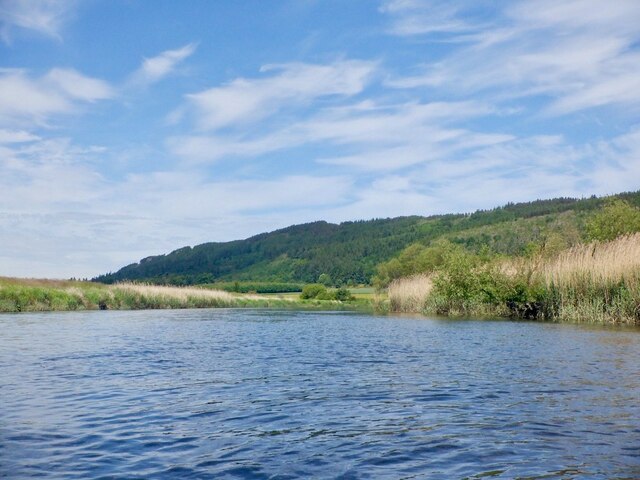
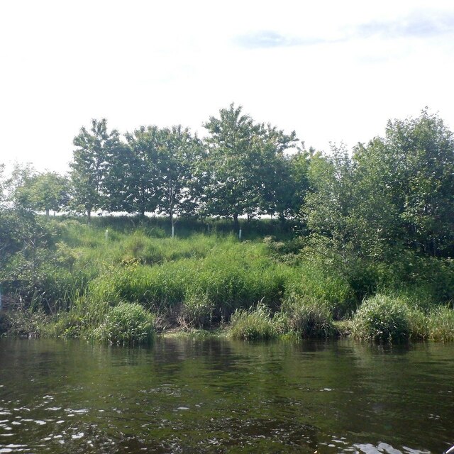
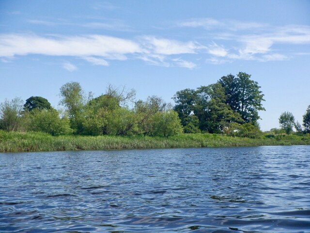
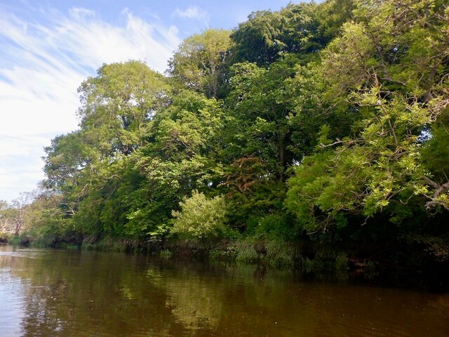
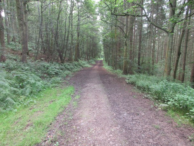
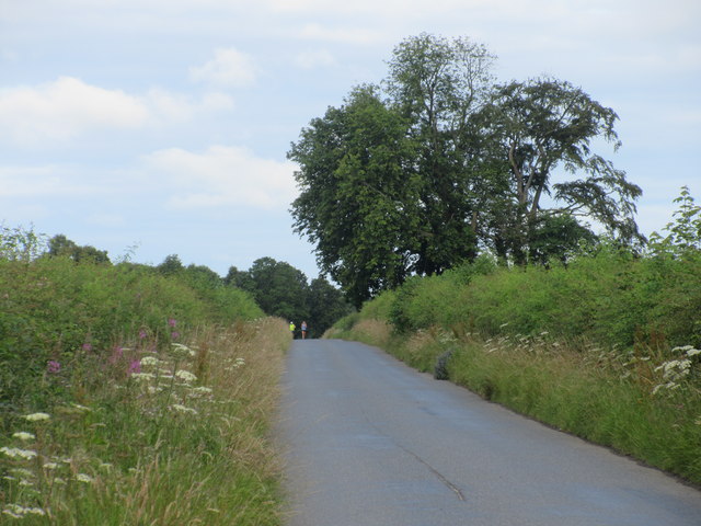
Black Hill Images

Images are sourced within 2km of 56.363719/-3.358321 or Grid Reference NO1619. Thanks to Geograph Open Source API. All images are credited.

River Earn Looks calm, but I was being pulled along at 2-4kph on the ebb tide.
River Earn
Looks calm, but I was being pulled along at 2-4kph on the ebb tide.
Cleared vegetation, River Earn The tidal Earn is rather inaccessible due to dense riverside vegetation often including brambles. Here anglers have managed to get to the bank.
Cleared vegetation, River Earn
The tidal Earn is rather inaccessible due to dense riverside vegetation often including brambles. Here anglers have managed to get to the bank.
River Earn I was following a pair of swans downstream. As the river widened they allowed me to overtake.  Other swans flew off. I get the impression that the Firth of Tay and surrounds are a popular hang out for young swans in the years prior to breeding.
River Earn
I was following a pair of swans downstream. As the river widened they allowed me to overtake. Other swans flew off. I get the impression that the Firth of Tay and surrounds are a popular hang out for young swans in the years prior to breeding.
Willow in the Earn A washed down willow tree, still sprouting leaves as willows do. No doubt it will eventually be washed down to salt water before long.
Willow in the Earn
A washed down willow tree, still sprouting leaves as willows do. No doubt it will eventually be washed down to salt water before long.
River Earn near Elliothead View upstream towards Moncrieffe Hill.
River Earn near Elliothead
View upstream towards Moncrieffe Hill.
Woodland near Culfargie The south bank of the River Earn.
Woodland near Culfargie
The south bank of the River Earn.
River Earn Between Culfargie and Mains of Kinmouth
River Earn
Between Culfargie and Mains of Kinmouth
Wooded banks, River Earn Near Culfargie on the south bank.
Wooded banks, River Earn
Near Culfargie on the south bank.
River Earn near Mains of Kinmouth
River Earn, Wester Rhynd After the entry bend into a massive meander around Fittie Haugh.
River Earn, Wester Rhynd
After the entry bend into a massive meander around Fittie Haugh.
Banks of the Earn Near Wester Rhynd.
Banks of the Earn
Near Wester Rhynd.
Wooded banks of the Earn The Earn passing Wester Rhynd.
Wooded banks of the Earn
The Earn passing Wester Rhynd.
Moncreiffe Hill Track Looking eastwards down the track on the south side of Moncreiffe Hill.
Moncreiffe Hill Track
Looking eastwards down the track on the south side of Moncreiffe Hill.
Start of the path The start of the path along the south side of Moncreiffe Hill from the Earn Car Park.
Start of the path
The start of the path along the south side of Moncreiffe Hill from the Earn Car Park.
Field of oats near Wallacetown Oat field south of Wallacetown, with the Ochil Hills in the distance.
Field of oats near Wallacetown
Oat field south of Wallacetown, with the Ochil Hills in the distance.
Minor road south of Moncreiffe Hill Looking westwards along the road that runs eastwards from Bridge of Earn, between the River Earn and Moncreiffe Hill.
Minor road south of Moncreiffe Hill
Looking westwards along the road that runs eastwards from Bridge of Earn, between the River Earn and Moncreiffe Hill.
Wheat field near Mains of Kinmonth Field of wheat, with the wooded heights of the eastern side of Moncreiffe Hill beyond.
Wheat field near Mains of Kinmonth
Field of wheat, with the wooded heights of the eastern side of Moncreiffe Hill beyond.
Wheat field near Fingask Looking down a field of wheat towards the valley of the Earn and the Ochil Hills beyond.
Wheat field near Fingask
Looking down a field of wheat towards the valley of the Earn and the Ochil Hills beyond.
Show me another place!

Black Hill is located at Grid Ref: NO1619 (Lat: 56.363719, Lng: -3.358321)

Unitary Authority: Perth and Kinross

Police Authority: Tayside

What 3 Words

///much.hopefully.splat. Near Bridge of Earn, Perth & Kinross

Nearby Locations

Black Hill

Related Wikis

Rhynd

Rhynd () is a hamlet in Perth and Kinross, Scotland. It is located 3+1⁄4 miles (5.2 kilometres) southeast of Perth, on the south side of the River Tay...

Elcho Castle

Elcho Castle () is located close to the south bank of the River Tay approximately four miles south-east of Perth, Scotland, in the region of Perth and...

Kinfauns railway station

Kinfauns railway station served the village of Kinfauns, Perthshire, Scotland, from 1847 to 1950 on the Dundee and Perth Railway. == History == The station...

Inchyra

Inchyra (; Scottish Gaelic: An Innis Iarach "the west isle") is a hamlet in the Carse of Gowrie in Scotland. It lies on the northern bank of the River...

Nearby Amenities

Located within 500m of 56.363719,-3.358321
Power: pole
Lat/Long: 56.3617546/-3.3515898
Power: pole
Lat/Long: 56.363372/-3.354723
Power: pole
Lat/Long: 56.366859/-3.3615164
Power: pole
Lat/Long: 56.3667791/-3.36136
Power: pole
Lat/Long: 56.36506/-3.3580334
Power: pole
Lat/Long: 56.3674941/-3.3627385
Power: pole
Lat/Long: 56.366274/-3.3603731
Power: pole
Lat/Long: 56.3638876/-3.3557694
Power: pole
Lat/Long: 56.3648681/-3.3576329
Power: pole
Lat/Long: 56.3628312/-3.353685
Power: pole
Lat/Long: 56.3644764/-3.3568956
Power: pole
Lat/Long: 56.3623008/-3.3526742
Power: pole
Lat/Long: 56.3657223/-3.359299
Post Box
Collection Plate: CP7D
Collection Plate Date: 2023-05-18
Collection Times: Mo-Fr 09:00; Sa 07:00
Manufacturer: W T Allen & Co London SE1
Operator: Royal Mail
Post Box Mounting: wooden_post
Post Box Type: lamp
Ref: PH2 140D
Royal Cypher: scottish_crown
Source: survey;local knowledge
Lat/Long: 56.365245/-3.3643368
Power: pole
Lat/Long: 56.3658427/-3.3590777
Power: pole
Lat/Long: 56.3664535/-3.3586937
Power: pole
Lat/Long: 56.367042/-3.3583049
Power: pole
Lat/Long: 56.3677205/-3.3578573
Telephone
Booth: K3
Colour: white
Covered: booth
Listed Status: Category A
Lat/Long: 56.3652314/-3.3642969
Power: pole
Lat/Long: 56.3658945/-3.3650936
Power: pole
Lat/Long: 56.3657759/-3.3642672
Power: pole
Lat/Long: 56.3658442/-3.3632522
Power: pole
Lat/Long: 56.3659152/-3.3622396
Power: pole
Lat/Long: 56.3653839/-3.3622722
Power: pole
Lat/Long: 56.364618/-3.362335
Power: pole
Lat/Long: 56.3639617/-3.3623839
Power: pole
Lat/Long: 56.3658468/-3.361057
Power: pole
Lat/Long: 56.3657308/-3.3595392
Power: pole
Lat/Long: 56.3657037/-3.3592017
Power: pole
Lat/Long: 56.3656134/-3.3578981
Power: pole
Lat/Long: 56.3655129/-3.3566224
Power: pole
Lat/Long: 56.3655258/-3.3558216
Power: pole
Lat/Long: 56.3655425/-3.3550766
Power: pole
Lat/Long: 56.3655761/-3.3538615
Power: pole
Lat/Long: 56.3655954/-3.352616
Power: pole
Lat/Long: 56.3656599/-3.351494
Power: pole
Lat/Long: 56.3649945/-3.3526067
Power: pole
Lat/Long: 56.3643253/-3.3526207
Power: pole
Lat/Long: 56.3636948/-3.352644
Power: pole
Lat/Long: 56.3630578/-3.3526556
Power: pole
Lat/Long: 56.362422/-3.3526766
Power: pole
Lat/Long: 56.3615374/-3.3522482
Power: pole
Lat/Long: 56.3609429/-3.3521388
The data included in this document is from www.openstreetmap.org. The data is made available under ODbL.

Have you been to Black Hill?

Leave your review of Black Hill below (or comments, questions and feedback).