Carn Mèilich

Hill, Mountain in Banffshire

Scotland

Carn Mèilich

United Free Church, Dalvrecht, Strath Avon
United Free Church, Dalvrecht, Strath Avon Credit: Alan Reid

Carn Mèilich is a prominent hill located in Banffshire, Scotland. Situated in the Cairngorms National Park, it is part of the Grampian Mountains range. With an elevation of 773 meters (2,536 feet), it is classified as a Corbett, which is a Scottish mountain between 2,500 and 3,000 feet high.

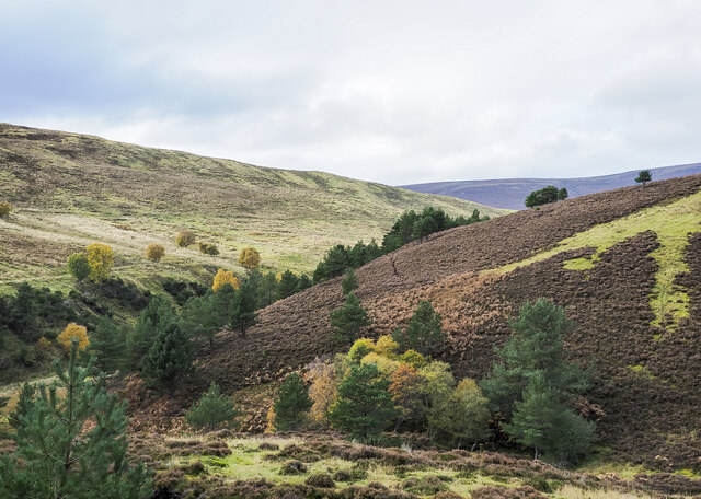
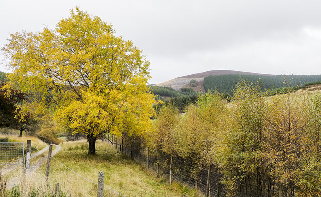
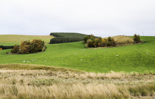
The hill offers stunning panoramic views of the surrounding area, including the Cairngorms and the nearby Strathdon Valley. Its summit is relatively flat and marked by a large cairn, providing a perfect spot for hikers and mountaineers to rest and soak in the breathtaking scenery.

Carn Mèilich is known for its diverse wildlife and plant species. Heather moorland covers much of the hill, creating a vibrant landscape during the summer months when the heather blooms in shades of purple and pink. The area is also home to several species of birds, including grouse and ptarmigan, which can be spotted throughout the year.

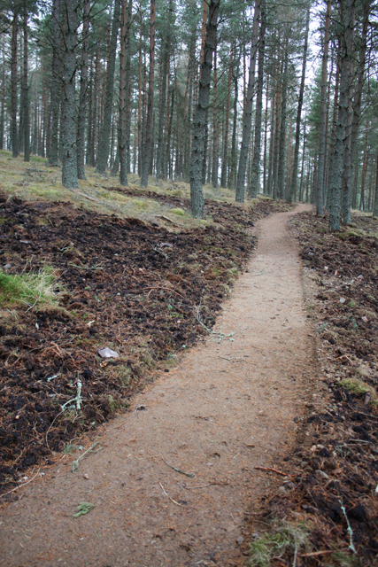
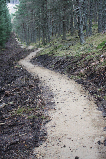
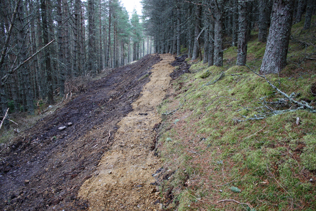
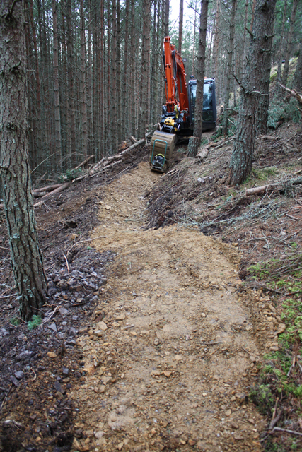
The hill is a popular destination for outdoor enthusiasts, offering a range of activities such as hiking, mountain biking, and birdwatching. There are various routes to reach the summit, with the most common starting point being the village of Corgarff, where a car park is available. From there, a well-defined path leads visitors through the heather-covered slopes, gradually ascending to the summit.

Overall, Carn Mèilich is a captivating natural landmark that showcases the beauty of the Scottish Highlands, attracting both locals and tourists alike to explore its stunning vistas and diverse ecosystems.

If you have any feedback on the listing, please let us know in the comments section below.
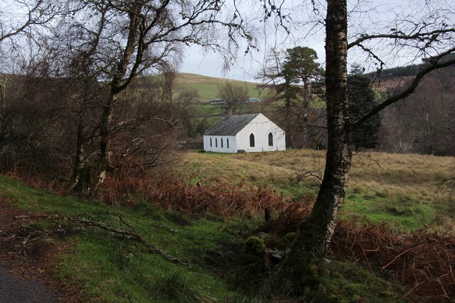
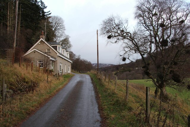
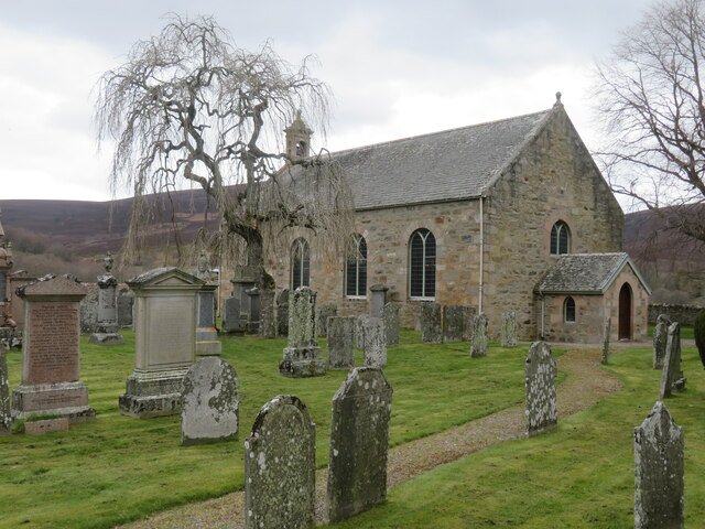
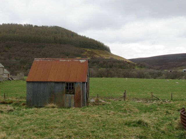
Carn Mèilich Images

Images are sourced within 2km of 57.290478/-3.3935738 or Grid Reference NJ1623. Thanks to Geograph Open Source API. All images are credited.

United Free Church, Dalvrecht, Strath Avon
Dalvrecht Cottage, Strath Avon
St Michaels, Strath Avon A 19th century rebuild of an earlier church serving the scattered community along this valley.
St Michaels, Strath Avon
A 19th century rebuild of an earlier church serving the scattered community along this valley.
Tin shack, Kirkton Corrugated iron structure close by the River Avon.
Tin shack, Kirkton
Corrugated iron structure close by the River Avon.
View towards Conglass Water The watercourse is seen in the valley bottom, being a feeder for the nearby River Avon.
View towards Conglass Water
The watercourse is seen in the valley bottom, being a feeder for the nearby River Avon.
Minor road towards Tomintoul The road generally keeps high above the deeply incised valley of Conglass Water.
Minor road towards Tomintoul
The road generally keeps high above the deeply incised valley of Conglass Water.
View towards a bike trail car park Looking NW along a minor road above Conglass Water to a brown sign for the Glenlivet Bike Trails. In the distance are the dark outlines of the Hills of Cromdale, higher than many of the grand peaks in Assynt, but rounded and dwarfed by the nearby Cairngorms.
View towards a bike trail car park
Looking NW along a minor road above Conglass Water to a brown sign for the Glenlivet Bike Trails. In the distance are the dark outlines of the Hills of Cromdale, higher than many of the grand peaks in Assynt, but rounded and dwarfed by the nearby Cairngorms.
Valleys  merging north-west of Tom a' Chor The stream in the nearer valley originates in Coire na Fuaraig but is unnamed on OS maps, it joins the other valley where the drainage is by the Chabet Water.
Valleys merging north-west of Tom a' Chor
The stream in the nearer valley originates in Coire na Fuaraig but is unnamed on OS maps, it joins the other valley where the drainage is by the Chabet Water.
Prominent tree beside access road for Inverchor Inverchor is a remote house on the east side of the valley of the Chabet Water; in the image it's hidden by the lower trees.
The distant hill is Carn Diamh.
Prominent tree beside access road for Inverchor
Inverchor is a remote house on the east side of the valley of the Chabet Water; in the image it's hidden by the lower trees. The distant hill is Carn Diamh.
Cattle grazing on rough pasture The animals are on land on the west side of the valley of the Chabet Water.
The ground rises beyond towards the minor hilltop of Carn Mèilich where tree-felling has left just a narrow band of trees in place.
Cattle grazing on rough pasture
The animals are on land on the west side of the valley of the Chabet Water. The ground rises beyond towards the minor hilltop of Carn Mèilich where tree-felling has left just a narrow band of trees in place.
Cnocan Buidhe Cnocan Buidhe is a minor feature in the valley of the Chabet Water. It's an 'improved' piece of farmland among a general landscape of moorland, rough grazing and coniferous plantation.
Cnocan Buidhe
Cnocan Buidhe is a minor feature in the valley of the Chabet Water. It's an 'improved' piece of farmland among a general landscape of moorland, rough grazing and coniferous plantation.
View into Strath Avon Taken from the side of the A939 road north-west of Tomintoul.
View into Strath Avon
Taken from the side of the A939 road north-west of Tomintoul.
Achlichnie farm Below Fireach Beag.
Achlichnie farm
Below Fireach Beag.
New mountain bike trail, Glenlivet Estate The estate are building trails around Carn Meilich, Tom a' Chor and Carn Daimh.  Due to open August 2013, this is part of the blue (easy) route.
New mountain bike trail, Glenlivet Estate
The estate are building trails around Carn Meilich, Tom a' Chor and Carn Daimh. Due to open August 2013, this is part of the blue (easy) route.
Mountain bike trail, Tom a' Chor Glenlivet Estate are building new mountain bike trails, due to open August 2013.  This is part of the red route.
Mountain bike trail, Tom a' Chor
Glenlivet Estate are building new mountain bike trails, due to open August 2013. This is part of the red route.
Mountain bike trail under construction New trails on Glenlivet Estate, due to open August 2013. This is part of the red route.
Mountain bike trail under construction
New trails on Glenlivet Estate, due to open August 2013. This is part of the red route.
Mountain bike trail construction A new trail centre being built on Glenlivet Estate.  Due to open August 2013, this is part of the red route.
Mountain bike trail construction
A new trail centre being built on Glenlivet Estate. Due to open August 2013, this is part of the red route.
Forest track, Tom a' Chor
Show me another place!

Carn Mèilich is located at Grid Ref: NJ1623 (Lat: 57.290478, Lng: -3.3935738)

Unitary Authority: Moray

Police Authority: North East

What 3 Words

///committee.lace.pricing. Near Grantown-on-Spey, Highland

Nearby Locations

Carn Mèilich

Related Wikis

Kirkmichael, Moray

Kirkmichael is a parish and hamlet in Moray, Scotland. Kirkmichael was historically part of Banffshire.The hamlet lies approximately 8 miles south of Ballindalloch...

Tomintoul distillery

Tomintoul distillery is a distillery in Kirkmichael, between Ballindalloch and Tomintoul in the Speyside region of Scotland, producing malt whisky for...

Glenlivet Estate

The Glenlivet Estate is located in Glenlivet, Scotland in the Cairngorms National Park. It measures 58,000 acres (230 km2) and is part of The Crown Estate...

Tomintoul

Tomintoul ( ; from Scottish Gaelic: Tom an t-Sabhail, meaning "Hillock of the Barn") is a village in the Moray council area of Scotland in the historic...

Auchnarrow

Auchnarrow (Scottish Gaelic: Achadh an Arbha) is a village in Moray, Scotland.

County of Moray

Moray; (Scottish Gaelic: Moireibh [ˈmɤɾʲəv]) or Morayshire, called Elginshire until 1919, is a historic county, registration county and lieutenancy area...

Tamnavulin distillery

Tamnavulin distillery is a producer of single malt Scotch whisky that was founded in 1966. The distillery is operated by Whyte & Mackay, which Philippines...

Church of The Incarnation, Tombae

The Church of The Incarnation was built between 1827 and 1829 as a Roman Catholic church, under the patronage of the Gordon family, in Banffshire, Scotland...

Nearby Amenities

Located within 500m of 57.290478,-3.3935738
Carn Mèlich
Ele: 466
Natural: peak
Lat/Long: 57.290486/-3.3934982
Toilets
Access: yes
Fee: no
Opening Hours: 24/7
Wheelchair: designated
Lat/Long: 57.2867162/-3.3973819
Glenlivet Bike Trails
Fee: no
Leisure: track
Opening Hours: 24/7
Sport: cycling
Website: https://www.glenlivetestate.co.uk/outdoor-activities/mountain-biking
Lat/Long: 57.2866904/-3.3973014
The data included in this document is from www.openstreetmap.org. The data is made available under ODbL.

Have you been to Carn Mèilich?

Leave your review of Carn Mèilich below (or comments, questions and feedback).