Cuttlehill

Hill, Mountain in Fife

Scotland

Cuttlehill

Welcome to Little Raith Wind Farm Information about the 9 x 2.75 MW turbine wind farm, apparently enough to supply 14500 average household, when the wind blows <a href="https://www.geograph.org.uk/photo/5288292">NT1790 : Little Raith Wind Farm</a>.
Welcome to Little Raith Wind Farm Credit: M J Richardson

Cuttlehill is a prominent hill located in Fife, Scotland. It is situated near the town of Dunfermline and stands at an elevation of approximately 120 meters (394 feet) above sea level. With its distinct shape and lush green surroundings, Cuttlehill is a notable landmark in the area.

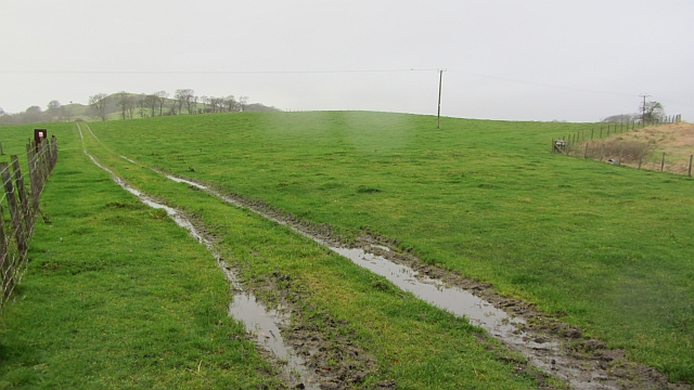
The hill is characterized by its gently sloping sides, making it accessible for hikers and walkers of all abilities. It offers stunning panoramic views of the surrounding countryside, including the nearby Lomond Hills and the Firth of Forth. On a clear day, the vista stretches as far as Edinburgh and the Pentland Hills.

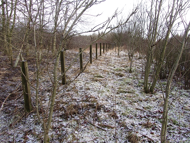
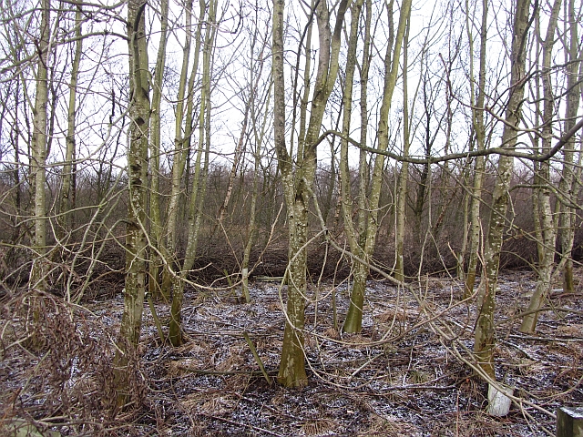
Cuttlehill is covered in a mix of grasses, heather, and occasional patches of woodland, providing a rich habitat for a variety of wildlife. It is not uncommon to spot rabbits, deer, and various bird species while exploring the hill.

The hill has a long history, with evidence of human activity dating back thousands of years. It is believed to have been used as a burial ground during the Bronze Age, and remnants of ancient settlements have also been discovered in the vicinity.

Cuttlehill is a popular destination for outdoor enthusiasts, offering a range of recreational activities such as hiking, dog walking, and nature photography. Its accessibility and natural beauty make it an ideal spot for locals and visitors alike to enjoy the serene landscape and immerse themselves in the history and charm of Fife.

If you have any feedback on the listing, please let us know in the comments section below.
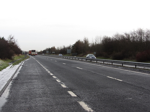
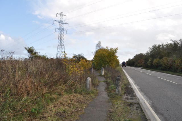
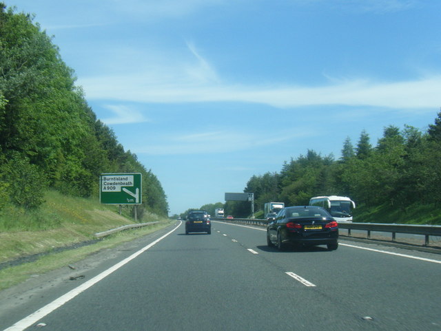
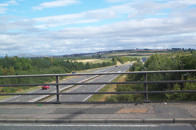
Cuttlehill Images

Images are sourced within 2km of 56.089995/-3.3555476 or Grid Reference NT1589. Thanks to Geograph Open Source API. All images are credited.

Welcome to Little Raith Wind Farm Information about the 9 x 2.75 MW turbine wind farm, apparently enough to supply 14500 average household, when the wind blows <a href="https://www.geograph.org.uk/photo/5288292">NT1790 : Little Raith Wind Farm</a>.
Welcome to Little Raith Wind Farm
Information about the 9 x 2.75 MW turbine wind farm, apparently enough to supply 14500 average household, when the wind blows NT1790 : Little Raith Wind Farm.
Farm track, Hill of Beath A dark wet day during a gale.
Farm track, Hill of Beath
A dark wet day during a gale.
Torbeath Gardens, Hill of Beath Striking roofs on the houses here.
Torbeath Gardens, Hill of Beath
Striking roofs on the houses here.
Roadside woodland It is usually not a good idea to head off piste from a road layby. Today though I got away with it, nothing unpleasant was encountered.  The layby has good defences of thorns but there was a way through to the old boundary fence and a woodland which goes back to the building of the A92.
Roadside woodland
It is usually not a good idea to head off piste from a road layby. Today though I got away with it, nothing unpleasant was encountered. The layby has good defences of thorns but there was a way through to the old boundary fence and a woodland which goes back to the building of the A92.
Roadside woodland Watching carefully where I put my feet, I ventured at right angles to the dual carriageway from a layby. The woodland is probably the same age as the road, c.1990.
Roadside woodland
Watching carefully where I put my feet, I ventured at right angles to the dual carriageway from a layby. The woodland is probably the same age as the road, c.1990.
A92 View from a layby near Lochgelly. The dual carriageway was opened in the early 1990s. 
The road is usually populated with police speed camera vans. Sadly these do not detect photographers who should be concentrating on their driving not their points score.
A92
View from a layby near Lochgelly. The dual carriageway was opened in the early 1990s. The road is usually populated with police speed camera vans. Sadly these do not detect photographers who should be concentrating on their driving not their points score.
Looking up the Main Street in Hill of Beath in Fife Though a village in its own right, it is now very much a part of Cowdenbeath.
Looking up the Main Street in Hill of Beath in Fife
Though a village in its own right, it is now very much a part of Cowdenbeath.
Street scene in Cowdenbeatth At Moss Side Road at the junction with Woodside, in the busy town in central Fife
Street scene in Cowdenbeatth
At Moss Side Road at the junction with Woodside, in the busy town in central Fife
Statue of Jim Baxter, Hill of Beath This statue was erected in 2003 in memory of the footballer, Jim Baxter, who was born in this former mining village.
Statue of Jim Baxter, Hill of Beath
This statue was erected in 2003 in memory of the footballer, Jim Baxter, who was born in this former mining village.
Old route of the A909, now a footpath The path leading up to the left follows the line of the original A909.
Old route of the A909, now a footpath
The path leading up to the left follows the line of the original A909.
A92 south of Cowdenbeath
A92 eastbound at A909 exit
Bridge over A92 at Crossgates
A92 to Lochgelly View from A909 crossing A92 S of Cowdenbeath. View shows A92 dual carriageway to the East with Lochgelly behind and East Lomond in the distance.
A92 to Lochgelly
View from A909 crossing A92 S of Cowdenbeath. View shows A92 dual carriageway to the East with Lochgelly behind and East Lomond in the distance.
Hawthorn Crescent Hawthorn Crescent, Hill of Beath. The 'Hill' of Beath in the background.
Hawthorn Crescent
Hawthorn Crescent, Hill of Beath. The 'Hill' of Beath in the background.
Keirs Park, Hill of Beath Keirs Park, home of Hill of Beath Hawthorn (Hawes) and HOB Swifts. Crossgates half mile away.
Keirs Park, Hill of Beath
Keirs Park, home of Hill of Beath Hawthorn (Hawes) and HOB Swifts. Crossgates half mile away.
Statue of Jim Baxter This statue which is situated outside Hill O'Beath Club is of Scottish international footballer Jim Baxter who was born in the village.
Statue of Jim Baxter
This statue which is situated outside Hill O'Beath Club is of Scottish international footballer Jim Baxter who was born in the village.
Converted Church Situated in Hill O' Beath this church has been converted to a dwelling.
Converted Church
Situated in Hill O' Beath this church has been converted to a dwelling.
Show me another place!

Cuttlehill is located at Grid Ref: NT1589 (Lat: 56.089995, Lng: -3.3555476)

Unitary Authority: Fife

Police Authority: Fife

What 3 Words

///satellite.habits.spelling. Near Crossgates, Fife

Related Wikis

Crossgates railway station (Fife)

Crossgates Fife railway station co-served the village of Crossgates, Fife, Scotland, from 1848 to 1949 on the Edinburgh and Northern Railway. == History... ==

Hill of Beath

Hill of Beath (( ; Scots: Hill o Beath) is a hill and a village in Fife, Scotland, just outside Dunfermline and joined to Cowdenbeath. On 16 June 1670...

Hill of Beath Hawthorn F.C.

Hill of Beath Hawthorn Football Club are a Scottish football club from Hill of Beath, near Cowdenbeath, Fife. Formed in 1975, they play their home games...

Crossgates, Fife

Crossgates is a village in Fife, Scotland. It is located close to the junction of the M90 and A92, about two miles east of Dunfermline and a similar distance...

Nearby Amenities

Located within 500m of 56.089995,-3.3555476
Power: tower
Lat/Long: 56.0943192/-3.3552668
Power: pole
Lat/Long: 56.0918458/-3.3506808
Power: pole
Lat/Long: 56.091404/-3.3519294
Power: pole
Lat/Long: 56.0909363/-3.3532011
Power: pole
Lat/Long: 56.0905363/-3.354398
Power: pole
Lat/Long: 56.0920635/-3.3495454
Power: pole
Lat/Long: 56.0913731/-3.3507358
Power: pole
Lat/Long: 56.0910075/-3.3503336
Power: pole
Lat/Long: 56.0903037/-3.3494843
Power: pole
Lat/Long: 56.0894916/-3.3486983
Power: pole
Lat/Long: 56.0889073/-3.3481512
The data included in this document is from www.openstreetmap.org. The data is made available under ODbL.

Have you been to Cuttlehill?

Leave your review of Cuttlehill below (or comments, questions and feedback).