Cassey Hill
Hill, Mountain in Dumfriesshire
Scotland
Cassey Hill
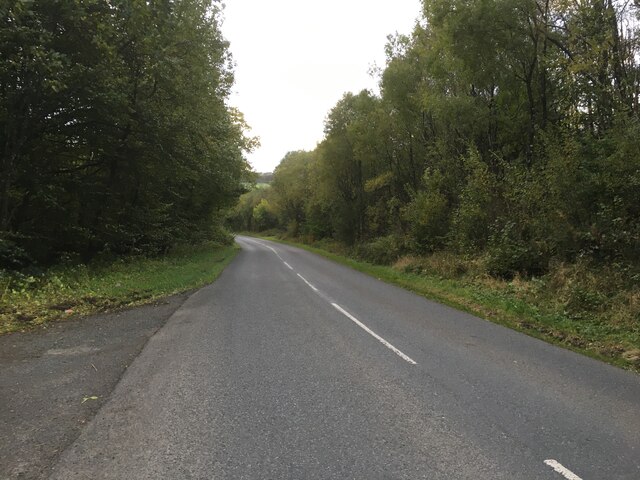
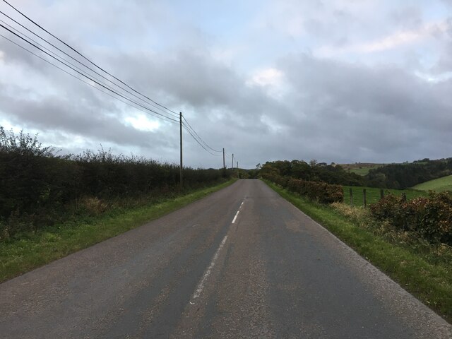
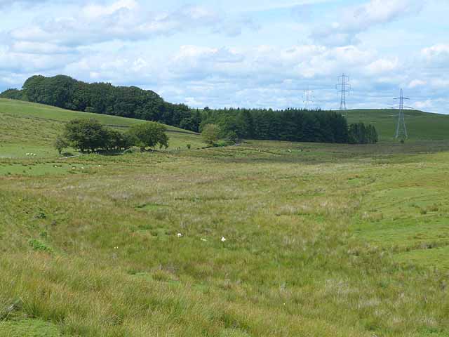
Cassey Hill, located in Dumfriesshire, Scotland, is a prominent geographical feature that has long attracted both locals and tourists. Rising to a height of approximately 1,377 feet (420 meters), it forms part of the beautiful Southern Uplands range. Cassey Hill is situated about 8 miles (13 kilometers) south of the town of Moffat, offering stunning panoramic views of the surrounding moorland and rolling hills.
The hill is characterized by its gently sloping sides, covered with a mixture of heather, grasses, and wildflowers. Visitors can enjoy a pleasant hike to the summit, following well-marked paths that wind their way through the picturesque landscape. The ascent takes around 1-2 hours, depending on one's pace and level of fitness. At the top, a trig point marks the highest point of Cassey Hill, providing a sense of achievement for those who reach it.
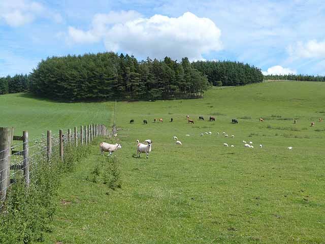
Cassey Hill is a popular destination for nature lovers, hikers, and birdwatchers. The diverse habitat supports a variety of wildlife, including red grouse, skylarks, and buzzards. It is also home to several species of butterflies and moths, adding to the area's natural beauty.
Due to its accessibility and relatively easy climb, Cassey Hill is suitable for individuals of various fitness levels. The hill's location in the Southern Uplands offers visitors a serene and tranquil environment, making it an ideal spot for relaxation and rejuvenation amidst nature.
In conclusion, Cassey Hill in Dumfriesshire stands as an inviting natural landmark, offering breathtaking views, diverse wildlife, and a peaceful escape for those seeking to immerse themselves in the beauty of the Scottish countryside.
If you have any feedback on the listing, please let us know in the comments section below.
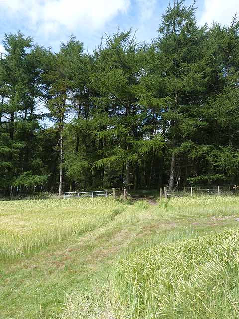
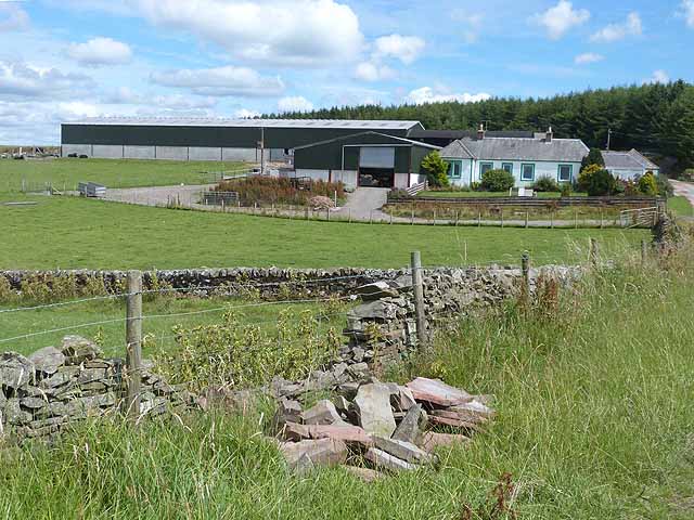
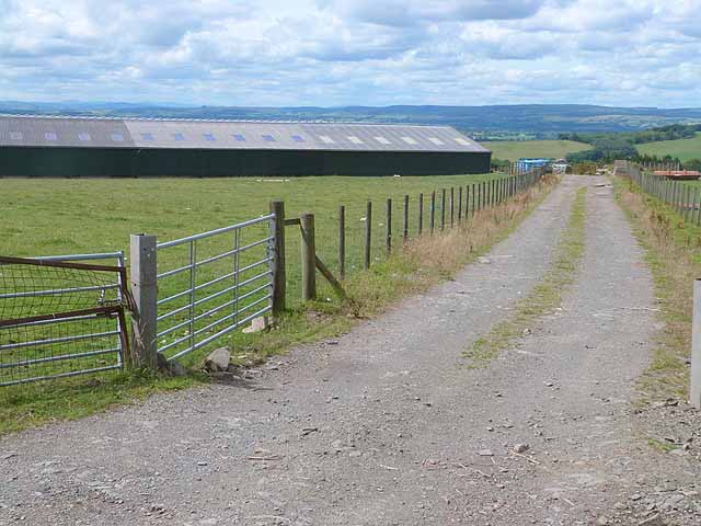
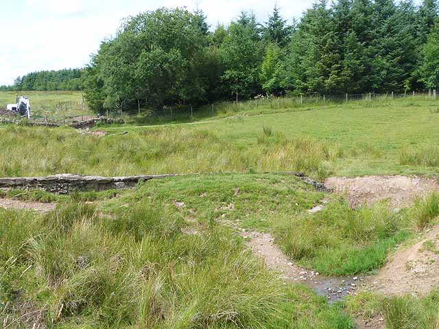
Cassey Hill Images
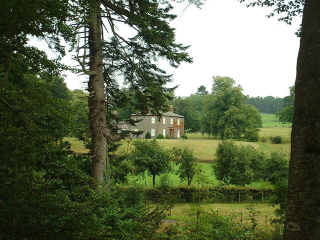
Images are sourced within 2km of 55.175724/-3.3264409 or Grid Reference NY1587. Thanks to Geograph Open Source API. All images are credited.


![Cottage by Gowka Burn Cleuch Looking north. I think Cleuch must be a 'local' [Gaelic?] name for a stream valley?](https://s3.geograph.org.uk/photos/22/15/221551_739d1f95.jpg)
Cassey Hill is located at Grid Ref: NY1587 (Lat: 55.175724, Lng: -3.3264409)
Unitary Authority: Dumfries and Galloway
Police Authority: Dumfries and Galloway
What 3 Words
///starting.unlocking.irritate. Near Lockerbie, Dumfries & Galloway
Nearby Locations
Related Wikis

Sibbaldbie
Sibbaldbie is a small village in Annandale, Dumfries and Galloway, Scotland. == References ==
Boreland
Boreland is a village in Dumfries and Galloway, Scotland, which is located in Dryfesdale about 7 miles (11 kilometres) north of Lockerbie on the B723 road...
Nethercleugh railway station
Nethercleugh railway station was a station which served the rural area around Nethercleugh and the estate of Jardine Hall, 3 miles north of Lockerbie in...

Steven's Croft power station
Steven's Croft is a wood-fired power station near Lockerbie in Scotland. It started energy production in 2008. It is operated by E.ON and produces 44 MW...
Nearby Amenities
Located within 500m of 55.175724,-3.3264409Have you been to Cassey Hill?
Leave your review of Cassey Hill below (or comments, questions and feedback).