Gudewife's Hill
Hill, Mountain in Dumfriesshire
Scotland
Gudewife's Hill
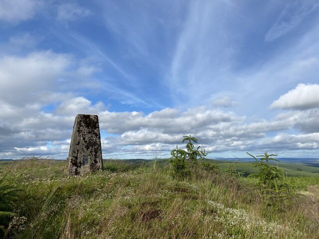
Gudewife's Hill is a prominent hill located in Dumfriesshire, Scotland. Situated in the beautiful countryside, this hill stands at an elevation of approximately 333 meters (1,093 feet) above sea level. It is a popular landmark and a part of the stunning landscape of the region.
The name "Gudewife's Hill" is derived from the local folklore and legends surrounding the area. According to the tales, a wise woman or "gudewife" once lived on the hill and was believed to possess magical powers. The folklore adds to the mystique and charm of the hill, attracting locals and visitors alike.
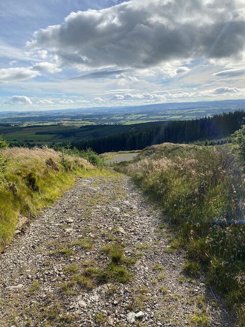
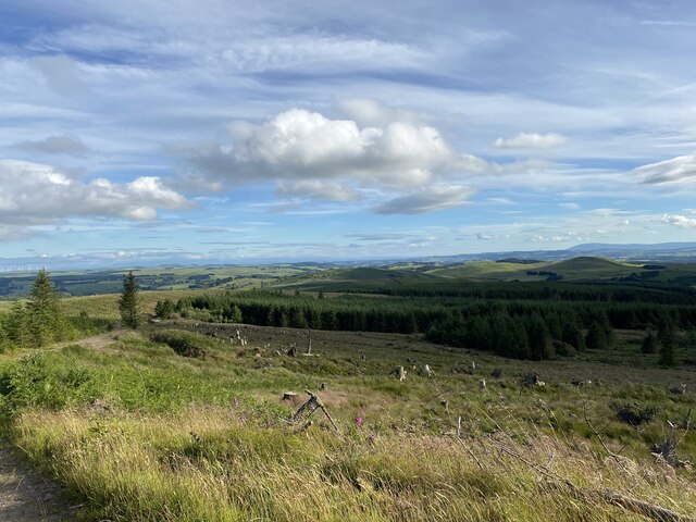
The hill offers breathtaking panoramic views of the surrounding countryside, with rolling green hills, picturesque farmland, and distant mountains. It is a haven for nature enthusiasts, hikers, and photographers seeking to capture the beauty of the Scottish landscape.
Gudewife's Hill is also home to a variety of flora and fauna, making it an ideal spot for wildlife observation. The area is known for its diverse bird population, including ring ouzels, skylarks, and red kites.
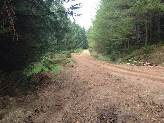
For those looking to explore the hill, there are well-marked trails and paths leading to its summit, providing an opportunity to enjoy a scenic walk or a challenging hike. It is advisable to wear appropriate footwear and carry essential supplies when venturing up the hill.
Overall, Gudewife's Hill is a captivating natural landmark that offers a blend of history, folklore, and natural beauty. Its allure lies in its enchanting legends, stunning vistas, and the sense of tranquility it provides to all who visit.
If you have any feedback on the listing, please let us know in the comments section below.
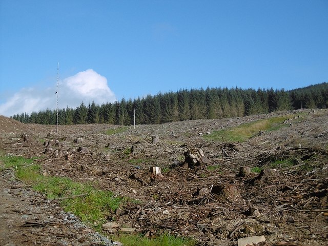
Gudewife's Hill Images
Images are sourced within 2km of 55.240228/-3.332457 or Grid Reference NY1594. Thanks to Geograph Open Source API. All images are credited.


Gudewife's Hill is located at Grid Ref: NY1594 (Lat: 55.240228, Lng: -3.332457)
Unitary Authority: Dumfries and Galloway
Police Authority: Dumfries and Galloway
What 3 Words
///placidly.invite.inched. Near Johnstonebridge, Dumfries & Galloway
Nearby Locations
Related Wikis

Wamphray railway station
Wamphray railway station served Newton Wamphray, near Beattock, in the Scottish county of Dumfries and Galloway. It was served by local trains on what...

Newton Wamphray
Newton Wamphray is a village in Dumfries and Galloway. Wamphray is the name of the surrounding parish and of the Wamphray Water, which flows south-west...

Boreland
Boreland is a village in Dumfries and Galloway, Scotland, which is located in Dryfesdale about 7 miles (11 kilometres) north of Lockerbie on the B723 road...

Annandale Water services
Annandale Water services is a motorway service station in the village of Johnstonebridge, Scotland. The service station is located next to the A74(M) motorway...
Nearby Amenities
Located within 500m of 55.240228,-3.332457Have you been to Gudewife's Hill?
Leave your review of Gudewife's Hill below (or comments, questions and feedback).