Bryn Cloddiau

Hill, Mountain in Flintshire

Wales

Bryn Cloddiau

Bridleway leading from Calcot Hall Heading for a minor road near Hafod Dedw Farm
Bridleway leading from Calcot Hall Credit: Maggie Cox

Bryn Cloddiau is a prominent hill located in the county of Flintshire, Wales. It is situated near the town of Holywell, approximately 12 miles west of the city of Chester. Standing at an elevation of around 984 feet (300 meters), Bryn Cloddiau is considered a significant landmark in the area.

The hill is known for its distinctive shape, with a rounded summit and steep slopes covered in grass and heather. It offers stunning panoramic views of the surrounding countryside, including the Dee Estuary to the north and the Clwydian Range to the south. On a clear day, it is possible to see as far as Snowdonia National Park.

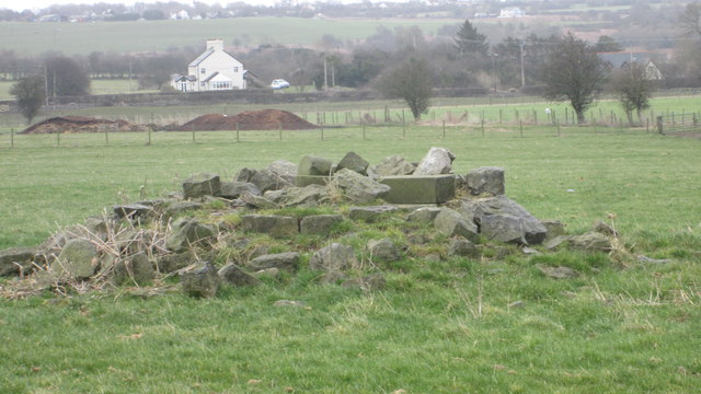
Bryn Cloddiau has historical significance as it is believed to have been occupied during the Iron Age. Archaeological surveys have discovered remains of an ancient hillfort on the hill's summit, suggesting that it served as a defensive settlement. The fort is estimated to have been built around 500 BC and would have provided a strategic vantage point for observing and controlling the surrounding area.

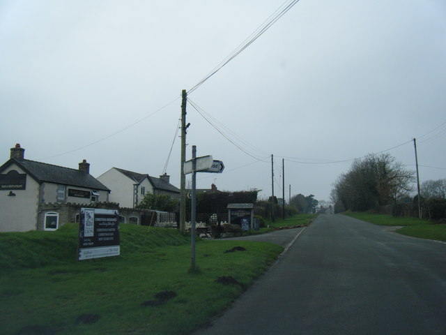
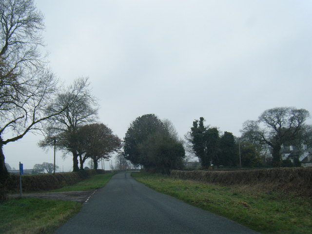
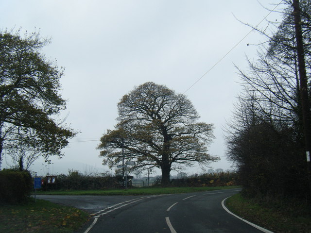
The hill is a popular destination for walkers, hikers, and nature enthusiasts, offering various footpaths and trails that allow visitors to explore its natural beauty. The area is home to a diverse range of flora and fauna, including heather, gorse, and a variety of bird species such as kestrels and peregrine falcons.

Overall, Bryn Cloddiau is a significant natural and historical landmark in Flintshire, attracting both locals and tourists alike with its scenic views and rich cultural heritage.

If you have any feedback on the listing, please let us know in the comments section below.

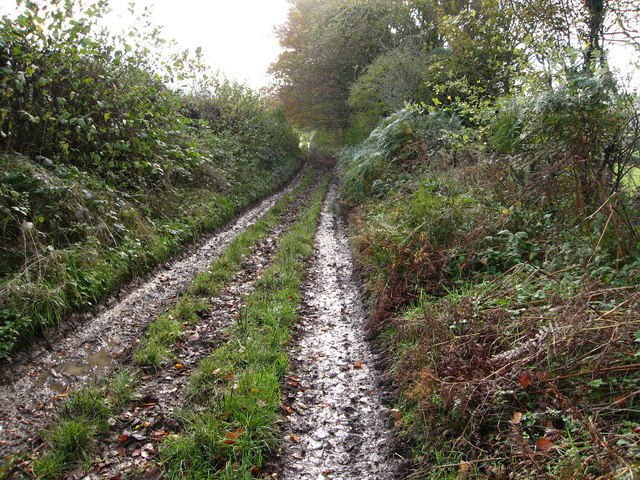
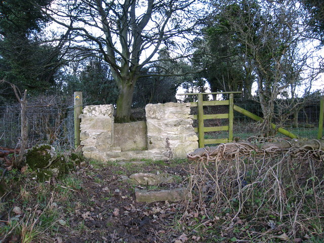
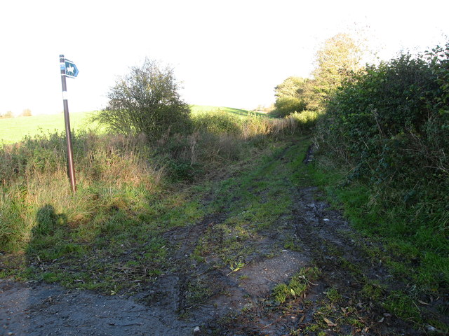
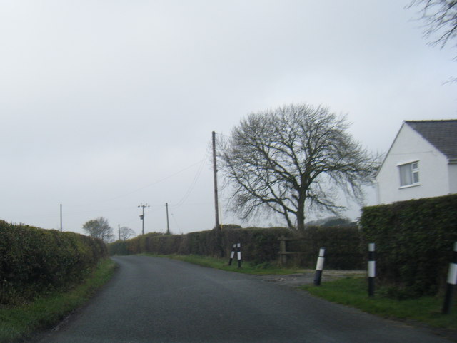
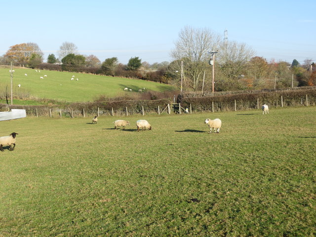
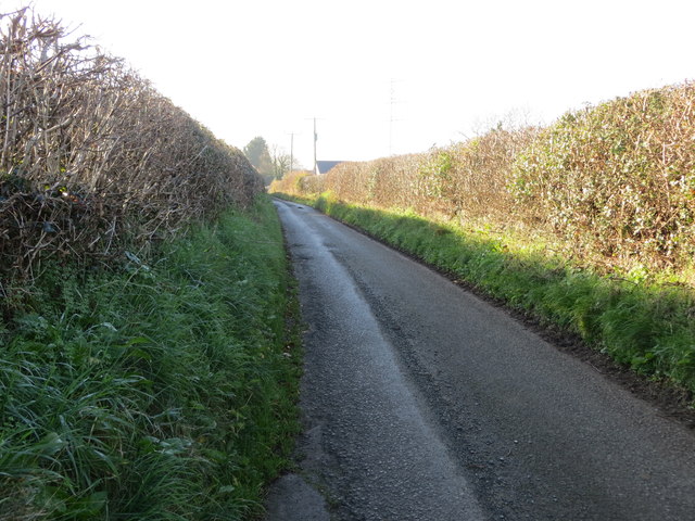
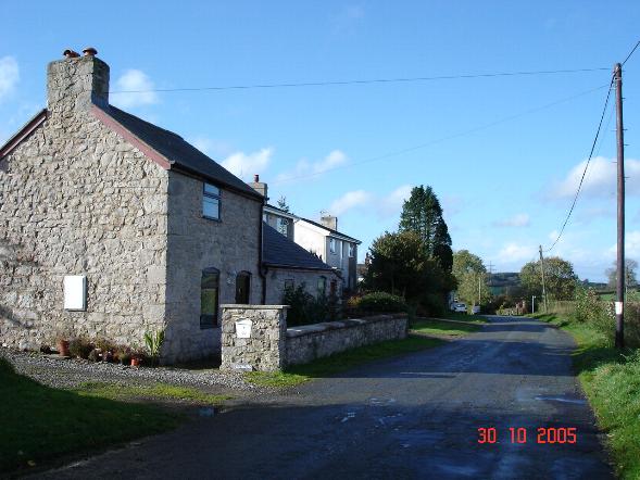
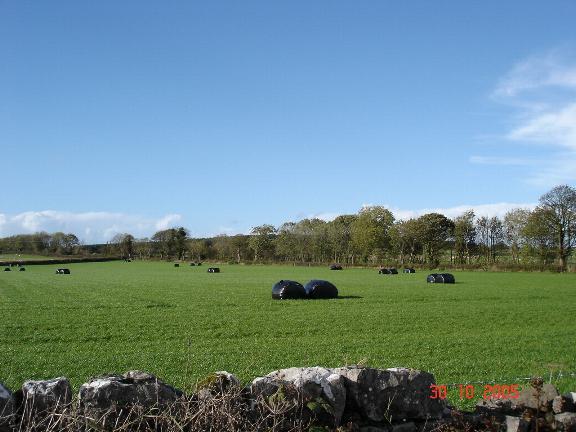
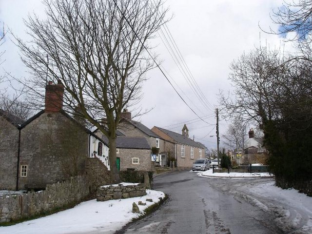
Bryn Cloddiau Images

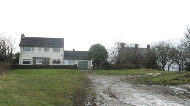
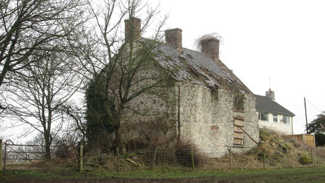
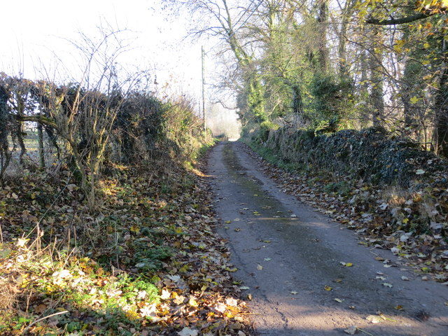
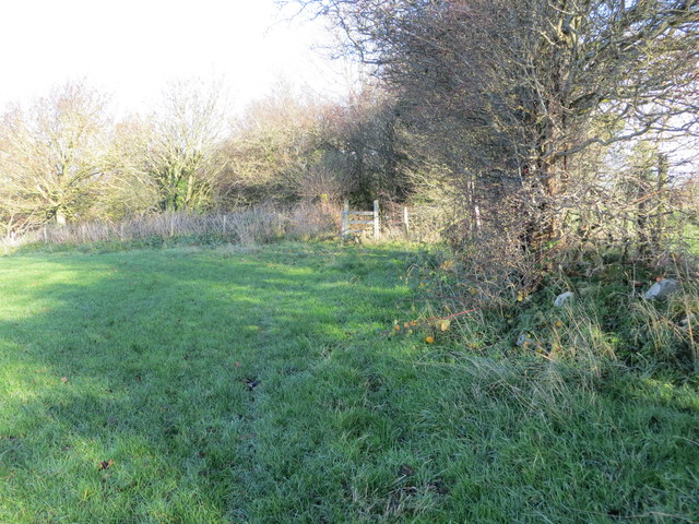
Images are sourced within 2km of 53.253709/-3.2713653 or Grid Reference SJ1573. Thanks to Geograph Open Source API. All images are credited.

Bridleway leading from Calcot Hall Heading for a minor road near Hafod Dedw Farm
Bridleway leading from Calcot Hall
Heading for a minor road near Hafod Dedw Farm
Stone stile On a footpath from a minor lane near Ash Farm.  There are several of these stiles recently built in this traditional style through the boundaries between fields on this route
Stone stile
On a footpath from a minor lane near Ash Farm. There are several of these stiles recently built in this traditional style through the boundaries between fields on this route
Bridleway from Ysceifiog Where it crosses a minor lane near Ash Farm, heading east through fields towards a road between Lixwm and Brynford
Bridleway from Ysceifiog
Where it crosses a minor lane near Ash Farm, heading east through fields towards a road between Lixwm and Brynford
Lane near Hafod-dew
Lane near Hafod-dew
Babell village and Black Lion Inn
Lane at Waen-isaf
Lane at Waen-isaf
Lane junction at Groes Faen Bach
The remains of the Holywell Racecourse Grandstand I believe that the wood and stone structure was evident until a few years ago but all that is left is a couple of piles of stones.
The remains of the Holywell Racecourse Grandstand
I believe that the wood and stone structure was evident until a few years ago but all that is left is a couple of piles of stones.
Calcot Hall - Old and New Not a particularly prepossessing hall - from the bridleway.
Calcot Hall - Old and New
Not a particularly prepossessing hall - from the bridleway.
Old Calcot Hall Replaced with a modern house
Old Calcot Hall
Replaced with a modern house
A section of hedge and tree-lined minor road near Coed y Carreg Looking eastward.
A section of hedge and tree-lined minor road near Coed y Carreg
Looking eastward.
Field edge path and stile near Bryn Glas Looking northward.
Field edge path and stile near Bryn Glas
Looking northward.
Footpath crossing a field with grazing sheep at Babell Looking north-eastward.
Footpath crossing a field with grazing sheep at Babell
Looking north-eastward.
Calcoed Lane enclosed between hedges and heading for Babel Looking south-westward.
Calcoed Lane enclosed between hedges and heading for Babel
Looking south-westward.
Rocky mound in a field near Caerwys
Ffordd Cae Ras/Racecourse Lane A seemingly strange name for a lane in the middle of the countryside but at one time there was a racecourse in this locality, the Holywell Racecourse near Babell. <span class="nowrap"><a title="http://www.greyhoundderby.com/Holywell%20Hunt%20Racecourse.html" rel="nofollow ugc noopener" href="http://www.greyhoundderby.com/Holywell%20Hunt%20Racecourse.html">Link</a><img style="margin-left:2px;" alt="External link" title="External link - shift click to open in new window" src="https://s1.geograph.org.uk/img/external.png" width="10" height="10"/></span> 
Pant Stud Farm on the right of the lane.
Ffordd Cae Ras/Racecourse Lane
A seemingly strange name for a lane in the middle of the countryside but at one time there was a racecourse in this locality, the Holywell Racecourse near Babell. LinkExternal link Pant Stud Farm on the right of the lane.
Old barn at Pant Farm
Holywell Grid Substation North-west of Babell
Holywell Grid Substation
North-west of Babell
Show me another place!

Bryn Cloddiau is located at Grid Ref: SJ1573 (Lat: 53.253709, Lng: -3.2713653)

Unitary Authority: Flintshire

Police Authority: North Wales

What 3 Words

///whistling.brisk.loaded. Near Whitford, Flintshire

Nearby Locations

Waen Bryn Cloddiau

Related Wikis

Babell

Babell is a hamlet in Flintshire, Wales. It is part of the community of Ysgeifiog. The hamlet takes its name from the Babell Methodist chapel, built in...

Calcoed

Calcoed is a small village in Flintshire, Wales. It is located to the south west of the town of Holywell, to the north west of the village of Brynford...

Pantasaph

Pantasaph is a small village in Flintshire, north-east Wales, two miles south of Holywell in the community of Whitford. Its name translates into English...

Ysceifiog

Ysceifiog, also spelled as Ysgeifiog, is a village, community and parish in Flintshire, Wales. It lies on a back road just north of the A541 highway between...

Nearby Amenities

Located within 500m of 53.253709,-3.2713653
Babell
Is In: Flintshire, Wales, United Kingdom
Name Cy: Babell
Name En: Babell
Place: village
Wikidata: Q4837708
Lat/Long: 53.253409/-3.2649885
Power: pole
Lat/Long: 53.2575495/-3.273505
Power: pole
Lat/Long: 53.2572033/-3.2719725
Power: pole
Lat/Long: 53.2568571/-3.270404
Power: pole
Lat/Long: 53.2565443/-3.2690916
Power: pole
Lat/Long: 53.2560979/-3.2670236
Power: pole
Lat/Long: 53.2557875/-3.2656667
Power: pole
Lat/Long: 53.2555296/-3.2649283
Power: tower
Lat/Long: 53.2538596/-3.2667476
Power: tower
Lat/Long: 53.2547207/-3.2700299
Power: tower
Lat/Long: 53.2557968/-3.2742395
Leisure: horse_riding
Lat/Long: 53.2530089/-3.2704276
Power: pole
Lat/Long: 53.2577153/-3.2734504
Power: pole
Lat/Long: 53.2577484/-3.2744813
Power: pole
Lat/Long: 53.2573902/-3.2719694
Power: pole
Lat/Long: 53.2570451/-3.2704564
Power: pole
Lat/Long: 53.2568489/-3.2695548
Power: pole
Lat/Long: 53.2567297/-3.2681398
Power: pole
Lat/Long: 53.2566236/-3.266693
Power: pole
Lat/Long: 53.2566962/-3.2676482
Direction: SSW
Generator Method: photovoltaic
Generator Output Electricity: yes
Generator Solar Modules: 16
Generator Source: solar
Generator Type: solar_photovoltaic_panel
Location: roof
Power: generator
Lat/Long: 53.2527163/-3.2663734
The data included in this document is from www.openstreetmap.org. The data is made available under ODbL.

Have you been to Bryn Cloddiau?

Leave your review of Bryn Cloddiau below (or comments, questions and feedback).