Buck Barrow

Hill, Mountain in Cumberland Copeland

England

Buck Barrow

Dry stone walls Derelict dry stone walls at Levens Moss
Dry stone walls Credit: P Gaskell

Buck Barrow is a prominent hill located in Cumberland, England. Standing at an elevation of approximately 400 meters (1,300 feet), it is considered a significant landmark in the region. The hill is part of the picturesque landscape of the North Pennines Area of Outstanding Natural Beauty.

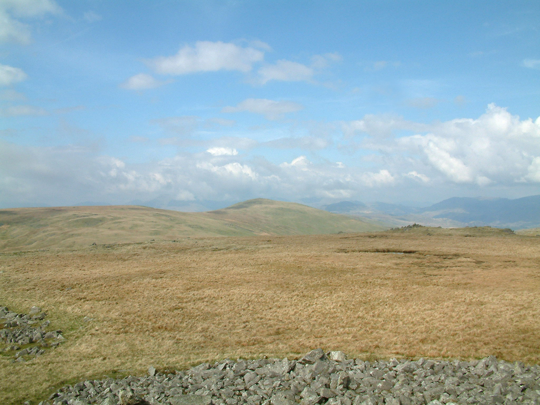
Buck Barrow offers breathtaking panoramic views of the surrounding countryside, including the nearby town of Alston and the rolling hills of Northumberland. Its summit provides an ideal vantage point for hikers, nature enthusiasts, and photographers alike. The hill is covered in heather and grass, adding to its scenic beauty.

The area around Buck Barrow is dotted with remnants of its rich historical past. The hill is close to several ancient sites, including stone circles, burial mounds, and Roman forts, which attest to the human occupation of the area since prehistoric times.

Access to Buck Barrow is primarily via footpaths and trails that cater to different levels of difficulty. The hill is a popular destination for walkers and outdoor enthusiasts, with various routes available to explore the surrounding countryside.

Buck Barrow, with its natural beauty and historical significance, is an integral part of the Cumberland landscape. Its prominence and accessibility make it an appealing destination for those seeking a blend of outdoor adventure and cultural exploration.

If you have any feedback on the listing, please let us know in the comments section below.

Buck Barrow Images

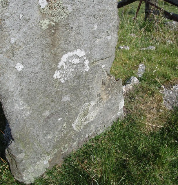
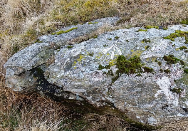
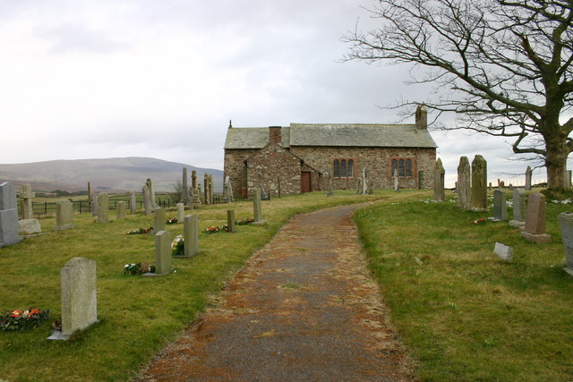
Images are sourced within 2km of 54.307925/-3.3049997 or Grid Reference SD1591. Thanks to Geograph Open Source API. All images are credited.

Dry stone walls Derelict dry stone walls at Levens Moss
Dry stone walls
Derelict dry stone walls at Levens Moss
Derelict dry stone walls
Thwaites Fell
Thwaites Fell
Black Beck
Black Beck
Ordnance Survey Cut Mark This OS cut mark can be found on the gatepost NE side of the road. It marks a point 344.506m above mean sea level.
Ordnance Survey Cut Mark
This OS cut mark can be found on the gatepost NE side of the road. It marks a point 344.506m above mean sea level.
Ordnance Survey Pivot This OS pivot can be found on a boulder NW side of the road. It marks a point 301.709m above mean sea level.
Ordnance Survey Pivot
This OS pivot can be found on a boulder NW side of the road. It marks a point 301.709m above mean sea level.
Ordnance Survey Rivet This OS rivet can be found on a stone at the bottom of the dry stone wall, NE side of the road. It marks a point 281.660m above mean sea level.
Ordnance Survey Rivet
This OS rivet can be found on a stone at the bottom of the dry stone wall, NE side of the road. It marks a point 281.660m above mean sea level.
A view towards Ravenglass, Seascale and Sellafield A view from the summit of Stoneside Hill.
A view towards Ravenglass, Seascale and Sellafield
A view from the summit of Stoneside Hill.
A view towards the Isle of Man The Isle of Man, Northern Ireland and the Mull of Galloway could be noted from the summit of Stoneside Hill on this clear afternoon.
A view towards the Isle of Man
The Isle of Man, Northern Ireland and the Mull of Galloway could be noted from the summit of Stoneside Hill on this clear afternoon.
Moorland view from Stoneside Hill summit A view towards the Duddon Bridge to Broad Oak minor road which traverses Thwaites Fell.
Moorland view from Stoneside Hill summit
A view towards the Duddon Bridge to Broad Oak minor road which traverses Thwaites Fell.
Clouds over the moors A pleasant afternoon after early morning rain facilitating a clear view from Stoneside Hill.
Clouds over the moors
A pleasant afternoon after early morning rain facilitating a clear view from Stoneside Hill.
Corney Fell This is the view as you leave the National Park at SD149896 looking WNW towards the coast.
Corney Fell
This is the view as you leave the National Park at SD149896 looking WNW towards the coast.
Black Beck On Thwaites Fell
Black Beck
On Thwaites Fell
Thwaites Fell Looking north from the road towards Buckbarrow
Thwaites Fell
Looking north from the road towards Buckbarrow
Kinmont Beck From the fell road.
Kinmont Beck
From the fell road.
A Place to Pass This remote and narrow road across the moor linking the Duddon Valley to the west coast has many passing places, not all of them are as much of a convenience as this one.
A Place to Pass
This remote and narrow road across the moor linking the Duddon Valley to the west coast has many passing places, not all of them are as much of a convenience as this one.
Stoneside Hill Not the hills most dramatic side, but one which could be photographed with the shelter of the car close at hand on rotten day.
Stoneside Hill
Not the hills most dramatic side, but one which could be photographed with the shelter of the car close at hand on rotten day.
Stoneside Hill A very easy'Birkett' from the Thwaites fell Road
Stoneside Hill
A very easy'Birkett' from the Thwaites fell Road
Show me another place!

Buck Barrow is located at Grid Ref: SD1591 (Lat: 54.307925, Lng: -3.3049997)

Administrative County: Cumbria

District: Copeland

Police Authority: Cumbria

What 3 Words

///dozed.supposes.flips. Near Millom, Cumbria

Nearby Locations

Buck Barrow

Related Wikis

Whitfell

Whitfell (or sometimes Whit Fell) is a hill of 573 metres (1,880 ft) in the southwestern part of the Lake District. It is the highest point between Black...

Stainton Pike

Stainton Pike is a hill in the English Lake District, near Waberthwaite, Cumbria. It is the subject of a chapter of Wainwright's book The Outlying Fells...

Swinside

Swinside, which is also known as Sunkenkirk and Swineshead, is a stone circle lying beside Swinside Fell, part of Black Combe in southern Cumbria, North...

Corney

Corney is a village and former civil parish, now in the parish of Waberthwaite, in the Cumberland district, in the ceremonial county of Cumbria, England...

Nearby Amenities

Located within 500m of 54.307925,-3.3049997
Buck Barrow
Natural: peak
Wikidata: Q24662557
Lat/Long: 54.3079389/-3.3046053
Little Paddy Crag
Place: locality
Lat/Long: 54.305842/-3.3033911
Great Paddy Crag
Ele: 532
Natural: peak
Lat/Long: 54.3070296/-3.3065927
Buckbarrow Crag
Place: locality
Lat/Long: 54.3092102/-3.303229
Guide Crag
Place: locality
Lat/Long: 54.3095171/-3.3055389
The data included in this document is from www.openstreetmap.org. The data is made available under ODbL.

Have you been to Buck Barrow?

Leave your review of Buck Barrow below (or comments, questions and feedback).