Calais Hill

Hill, Mountain in Fife

Scotland

Calais Hill

Daybreak over fields at Bankhead Farm
Daybreak over fields at Bankhead Farm Credit: Alan Reid

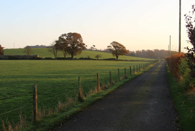
Calais Hill, located in Fife, Scotland, is a prominent hill standing at an elevation of 218 meters (715 feet) above sea level. It is situated near the town of Burntisland and offers captivating panoramic views of the surrounding landscape.

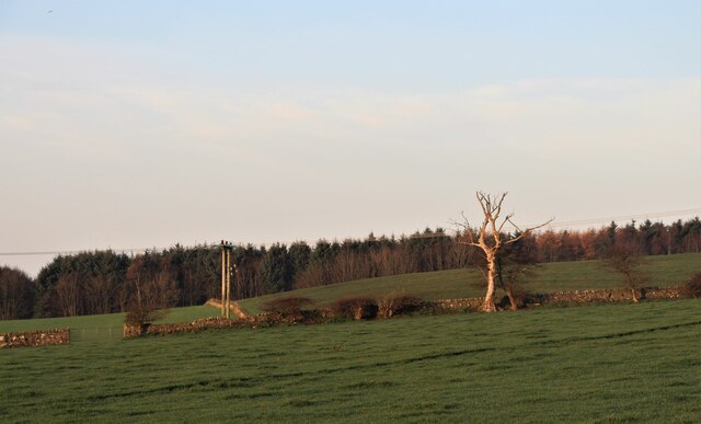
The hill is characterized by its grassy slopes, which are home to a diverse array of flora and fauna. Its location within the Fife Coastal Path makes it a popular destination for hikers and nature enthusiasts, as it offers a variety of walking and hiking trails to explore.

Calais Hill is steeped in history, with evidence of ancient settlements found in the area. It is believed that the hill was once used as a defensive site during the Iron Age, with remnants of fortifications and structures still visible today.

The hill's name, "Calais," is derived from the French town of the same name, and its origins are unclear. Some speculate that it may have been named by French prisoners of war who were held in the area during the Napoleonic era.

Calais Hill is an ideal spot for outdoor activities such as picnicking, birdwatching, and photography. Its elevated position provides a vantage point to admire the scenic beauty of Fife, including views of the Firth of Forth and the nearby towns.

If you have any feedback on the listing, please let us know in the comments section below.
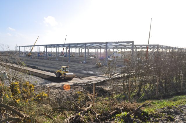
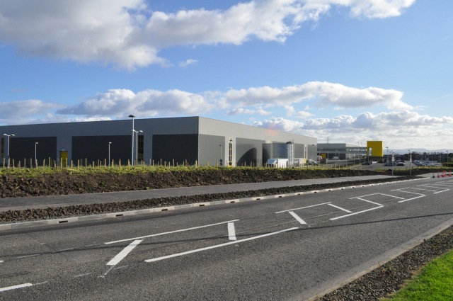
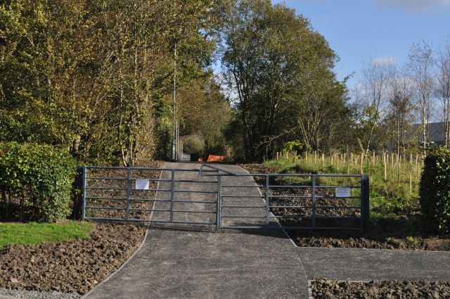
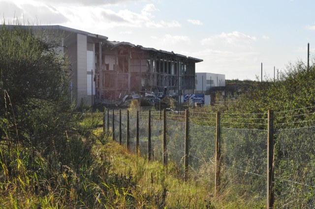
Calais Hill Images

Images are sourced within 2km of 56.070567/-3.3662551 or Grid Reference NT1587. Thanks to Geograph Open Source API. All images are credited.

Daybreak over fields at Bankhead Farm
Daybreak over fields at Bankhead Farm Clinthill Plantation beyond.
Daybreak over fields at Bankhead Farm
Clinthill Plantation beyond.
Under Construction Building a new distribution centre on the outskirts of the Dunfermline East expansion area. All this steelwork went up in the last four days.
Under Construction
Building a new distribution centre on the outskirts of the Dunfermline East expansion area. All this steelwork went up in the last four days.
M90 near Duloch In the distance, on this alignment of the southbound carriageway, are the towers of the Forth bridge.
M90 near Duloch
In the distance, on this alignment of the southbound carriageway, are the towers of the Forth bridge.
Mail Order Warehouse The vast shed built on the outskirts of Dunfermline to accommodate a well-known mail-order distribution company. Even bigger than the nearby infamous Hyundai plant, this at least is going to provide jobs of a sort.
Mail Order Warehouse
The vast shed built on the outskirts of Dunfermline to accommodate a well-known mail-order distribution company. Even bigger than the nearby infamous Hyundai plant, this at least is going to provide jobs of a sort.
Footpath Revamp The signs on the gates inform us that 'This route will be temporarily closed to allow necessary work to be carried out', but doesn't indicate on whose authority it has been closed. The path runs alongside the new mail-order distribution centre being built on the western edge of the Dunfermline Expansion Area.
Footpath Revamp
The signs on the gates inform us that 'This route will be temporarily closed to allow necessary work to be carried out', but doesn't indicate on whose authority it has been closed. The path runs alongside the new mail-order distribution centre being built on the western edge of the Dunfermline Expansion Area.
Going, going... The infamous Hyundai plant falls to the wreckers' hammers, nearly 15 years after it was first built, and after untold millions of pounds of publicly-funded investment, in the hopes of spearheading a new era in semiconductor manufacture. Sadly, recent plans seem to indicate that it will become yet another housing estate.
Going, going...
The infamous Hyundai plant falls to the wreckers' hammers, nearly 15 years after it was first built, and after untold millions of pounds of publicly-funded investment, in the hopes of spearheading a new era in semiconductor manufacture. Sadly, recent plans seem to indicate that it will become yet another housing estate.
Roadworks on the M90 The M90 is the northernmost motorway in the UK. The first section of the M90 opened in 1964 to coincide with the opening of the Forth Road Bridge and it is now the link between Queensferrry Crossing and Perth, meaning that it is the main route between Edinburgh and the north of Scotland.
Roadworks on the M90
The M90 is the northernmost motorway in the UK. The first section of the M90 opened in 1964 to coincide with the opening of the Forth Road Bridge and it is now the link between Queensferrry Crossing and Perth, meaning that it is the main route between Edinburgh and the north of Scotland.
Field near Vantage View from the edge of the field. Near Vantage/Fordell Castle
Field near Vantage
View from the edge of the field. Near Vantage/Fordell Castle
Masonic Lodge, Crossgates, Fife, Scotland St John No.540, Crossgates, Fife, Scotland.
Masonic Lodge, Crossgates, Fife, Scotland
St John No.540, Crossgates, Fife, Scotland.
Traffic on the M90 One of those frequent occasions when traffic comes to a standstill for no clear reason. Although there are roadworks further ahead in connection with the Second Forth Crossing the traffic flows freely before they finish.
Traffic on the M90
One of those frequent occasions when traffic comes to a standstill for no clear reason. Although there are roadworks further ahead in connection with the Second Forth Crossing the traffic flows freely before they finish.
M90 northbound
M90 northbound
M90 northbound
M90 northbound
M90 northbound
M90 northbound
M90 northbound
M90 northbound
M90 northbound
M90 northbound
Track to Cuttlehill
Track to Cuttlehill
Farmland, Fordell
Farmland, Fordell
Show me another place!

Calais Hill is located at Grid Ref: NT1587 (Lat: 56.070567, Lng: -3.3662551)

Unitary Authority: Fife

Police Authority: Fife

What 3 Words

///squirted.snacks.extension. Near Crossgates, Fife

Related Wikis

Humbug Park

Humbug Park also previously known as Crossgates Greyhound Stadium is a football ground and former greyhound racing track on Inverkeithing Road in Crossgates...

Crossgates, Fife

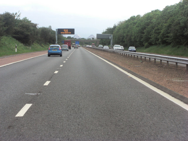
Crossgates is a village in Fife, Scotland. It is located close to the junction of the M90 and A92, about two miles east of Dunfermline and a similar distance...
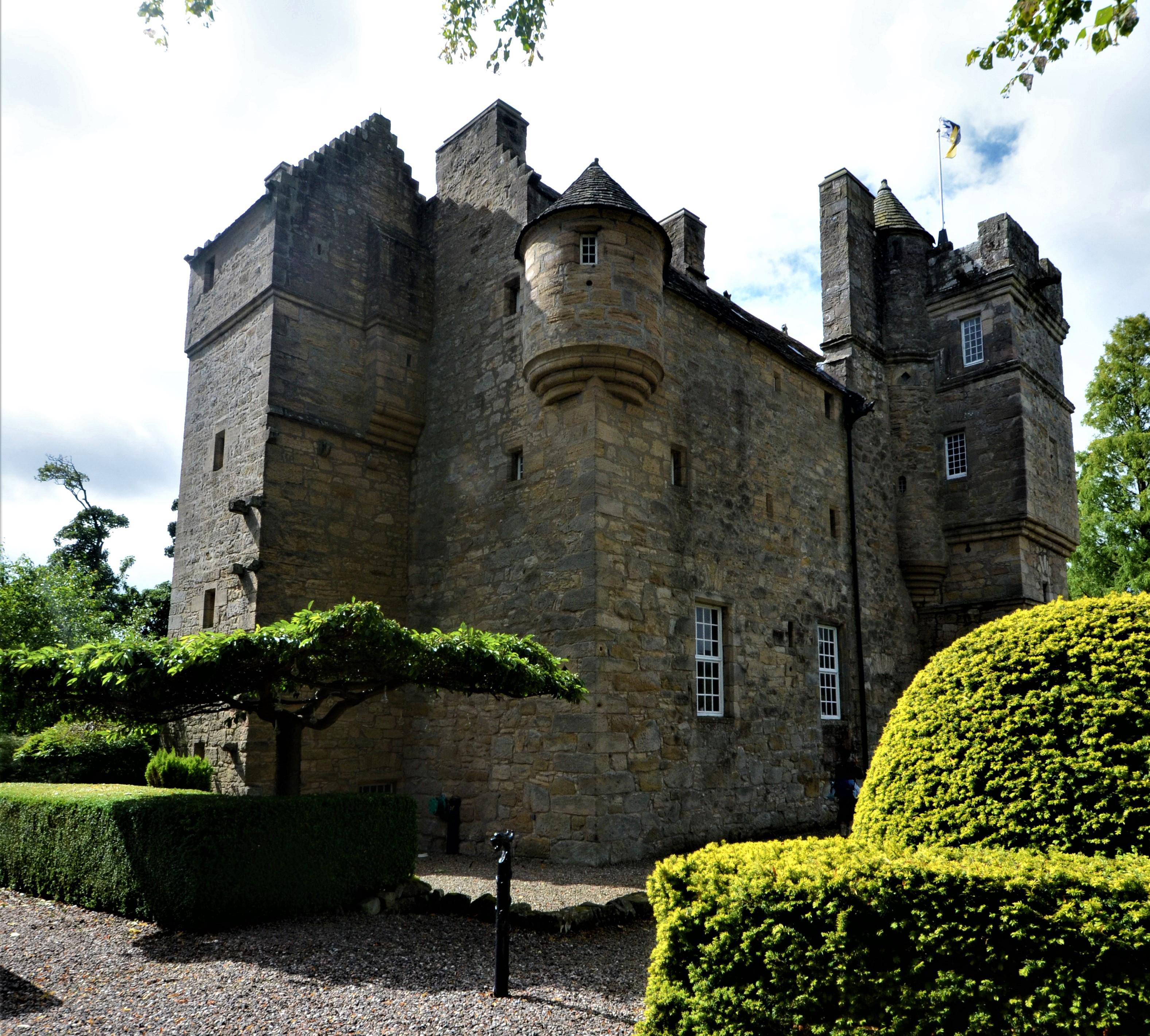
Fordell Castle

Fordell Castle is a restored 16th-century tower house, located 1.25 miles (2.01 km) north-west of Dalgety Bay and 2 miles (3.2 km) east of Dunfermline...

Crossgates railway station (Fife)

Crossgates Fife railway station co-served the village of Crossgates, Fife, Scotland, from 1848 to 1949 on the Edinburgh and Northern Railway. == History... ==

Wellwood, Fife

Wellwood is a small village to the north of Dunfermline, Fife, Scotland. It was named after the Wellwoods who used to own coalmines in the area. It has...

Abbeyview

Abbeyview is a housing estate in the town of Dunfermline in Fife, Scotland. It is situated in the east of the town, approximately 2 miles from the town...

Duloch

Duloch ( DOO-lokh), or Duloch Park, is a residential suburb of Dunfermline, in Fife, Scotland. The closest railway stations are Rosyth, Dunfermline Queen...

Carnegie College

Carnegie College (formerly Lauder College) was a further education college based in Halbeath, Dunfermline, Fife, Scotland. It was established in 1899,...

Nearby Amenities

Located within 500m of 56.070567,-3.3662551
Material: wood
Power: pole
Lat/Long: 56.0695182/-3.3739049
Power: pole
Lat/Long: 56.0693963/-3.3731047
Power: pole
Lat/Long: 56.0692744/-3.3722799
Power: pole
Lat/Long: 56.0685564/-3.3722738
Power: pole
Lat/Long: 56.0678681/-3.3722595
The data included in this document is from www.openstreetmap.org. The data is made available under ODbL.

Have you been to Calais Hill?

Leave your review of Calais Hill below (or comments, questions and feedback).